
Galleries · North West England
Sub Space
In or near Marsden.
Sub Space — a gallery in North West England, United Kingdom.

Gerald England — CC BY-SA 2.0 via Wikimedia Commons licence

Plan your visit
- Typical visit
- 1 h–2 h
- Best time of year
- Year-round
- Nearest railway station
- Mossley · 3.3 km
- Family-friendly
- Limited wheelchair access
About
Sub Space is a gallery located in North West England, United Kingdom. Sourced from OpenStreetMap (ODbL licence); see local listings for visitor information, opening hours and admission details.
Photo gallery
See it from the streetimagery from 2023
Imagery © Mapillary contributors, CC BY-SA 4.0
Place summary
Sub Space is a gallery located in North-West England, postcode OL4. It showcases contemporary art and serves as a platform for emerging artists. The space is known for its innovative exhibitions and community engagement initiatives.
AI-generated from the structured facts on this page (operator, designation, listing, era). Not a substitute for visiting.
- Coordinates
- 53.5381, -2.0734
- District
- Oldham
- Parish
- Oldham, unparished area
- Postcode
- OL4 3BN
- Parliamentary constituency
- Oldham East and Saddleworth
- Nearest railway station
- Mossley — 3.3 km
Sources
- osm: node/10541978101 (ODbL)
Other places nearby

Church of St Thomas, Lees
Historic churches · 0.2 km

Lees, Greater Manchester
Historic churches · 0.3 km

Lees War Memorial
Memorials & monuments · 0.4 km

Breeze Hill School
Natural landmarks · 0.7 km
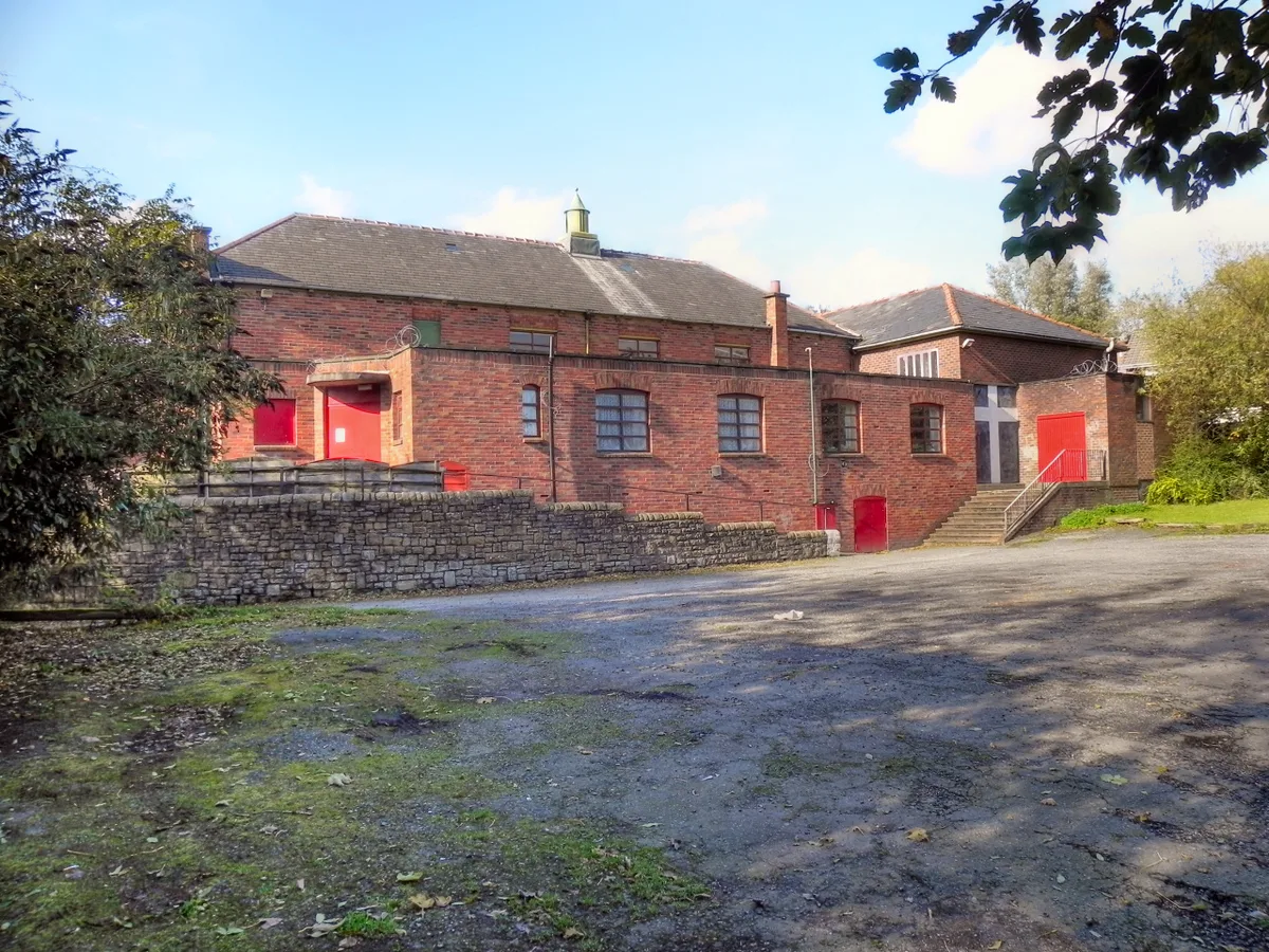
Salem Moravian Church
Historic churches · 0.7 km

Bilal Jamia Mosque
Historic churches · 1.1 km

Madressa Taleem-ul-Quran and Qurtaba Masjid
Historic churches · 1.2 km

Waterhead War Memorial
Memorials & monuments · 1.3 km

Jamia Mosque, Dar-ul-Aloom Naqshbandia and Community Welfare Centre
Historic churches · 1.5 km
Madinatul Ilm
Historic churches · 1.5 km
Jamia Masjid Azmat E Islam
Historic churches · 1.5 km
Nusratul Islam Masjid
Historic churches · 1.6 km
Nearby
📷 5Historic churches · North West England
Church of St Thomas, Lees
The Church of St Thomas is an Anglican parish church on West Street in Lees, a village in the Metropolitan Borough of Oldham, Greater Manchester, England. It is an active church in the Diocese of Manc
📷 5Historic churches · North West England
Lees, Greater Manchester
Lees, Greater Manchester — a church in england-north-west, United Kingdom.
📷 3Memorials & monuments · North West England
Lees War Memorial
Lees War Memorial — Grade II listed building-listed memorial in england-north-west, United Kingdom.
📷 5Natural landmarks · North West England
Breeze Hill School
Breeze Hill School — a school heritage in england-north-west, United Kingdom.
📷 3Historic churches · North West England
Salem Moravian Church
Salem Moravian Church — church building in United Kingdom.
📷 5Historic churches · North West England
Bilal Jamia Mosque
Bilal Jamia Mosque — a church in North West England, United Kingdom.
Where to eat & stay near Sub Space
Places to stay
 📷 5
Campsites · North West England
Well-i-Hole Farm Caravan and Camping
Well-i-Hole Farm Caravan and Camping — a campsite in england north west.
 📷 5
Campsites · North West England
Dog Hill Scout Campsite
Dog Hill Scout Campsite — a campsite in england north west.
 📷 5
Caravan parks · North West England
The Moorlands
The Moorlands — a caravan park in england north west.
 📷 5
 📷 5
Hotels · North West England
Norton Grange Hotel
Norton Grange Hotel — a hotel in england north west.
 📷 5
Campsites · East Midlands
Crossgate Farm Campsite
Crossgate Farm Campsite — a campsite in england east midlands.
Places to eat & drink
 📷 5
Historic pubs · North West England
Colliers Arms Public House
Colliers Arms Public House in England North West, United Kingdom.
 📷 7
 📷 7
Historic pubs · North West England
The Witchwood
The Witchwood in England North West, United Kingdom.
 📷 5
Historic pubs · North West England
Ye Olde Boars Head Public House
Ye Olde Boars Head Public House in England North West, United Kingdom.
 📷 5
 📷 7
Historic pubs · North West England
The Baum
The Baum in England North West, United Kingdom.
More galleries in this region
 📷 3
Galleries · North West England
Castlefield Gallery
Castlefield Gallery — UK charitable organization.
 📷 3
Galleries · North West England
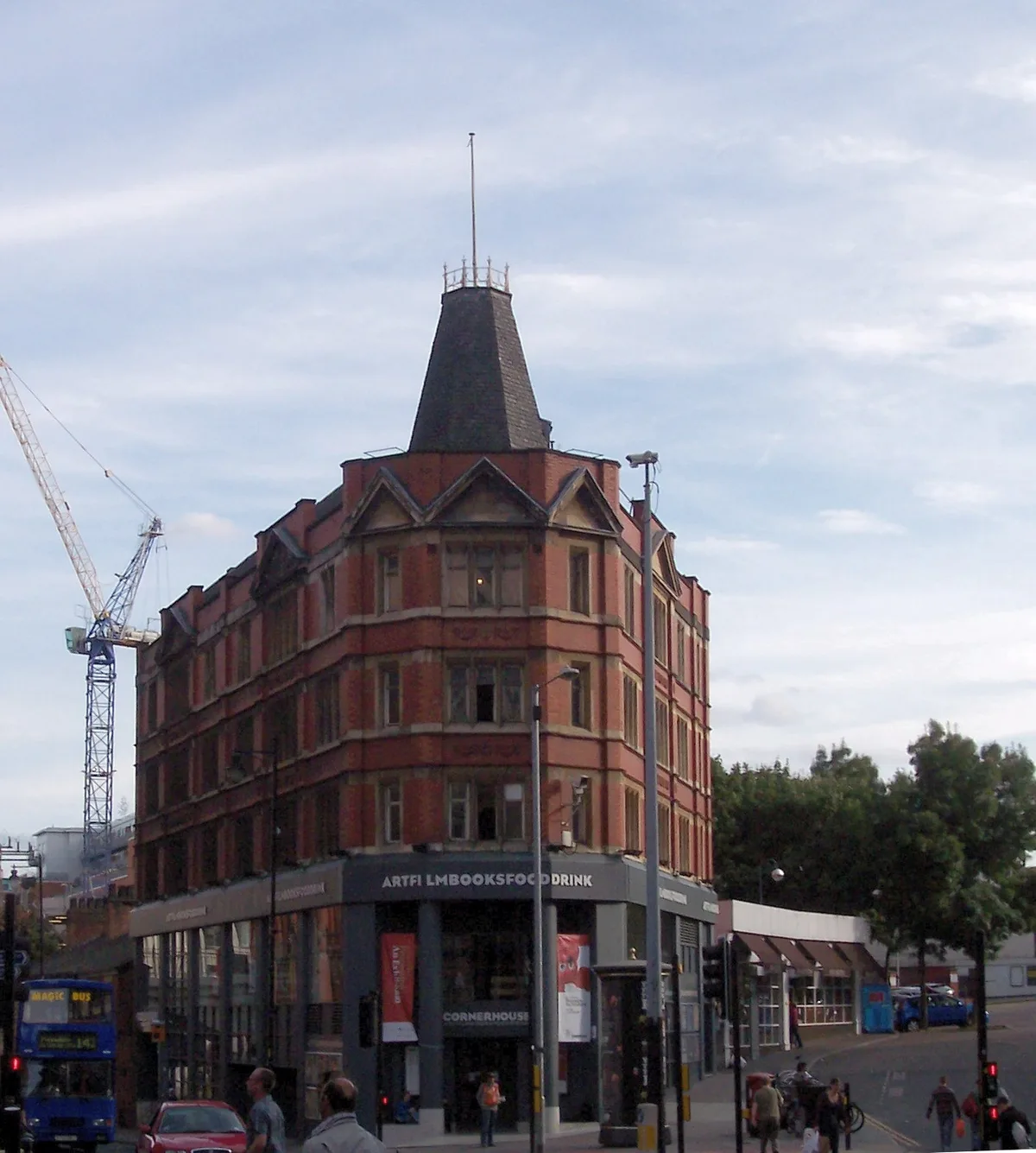
Cornerhouse
Cornerhouse — former arts centre (gallery, cinemas) in Manchester, England.
 📷 4
Galleries · North West England
Manchester Art Gallery
Manchester Art Gallery — publicly owned art gallery in Manchester, UK.
 📷 3
Galleries · North West England
Manchester Art Museum
Manchester Art Museum — art museum in Manchester, England, UK (1877-1953).
Frequently asked questions
- Where is Sub Space?
- Sub Space is in North-West England, United Kingdom (postcode OL4 3BN), in the parish of Oldham, unparished area.
- What is Sub Space?
- Sub Space — a gallery in North West England, United Kingdom.
- How do I get to Sub Space?
- The nearest railway station is Mossley, about 3.3 km away. The nearest town is Marsden. Drivers can use postcode OL4 3BN.
- How do I get to Sub Space?
- The nearest railway station is Mossley, about 3.3 km away. Drivers can navigate to postcode OL4 3BN.