
Historic bridges · Scottish Lowlands
Straightbow Bridge
In or near Uplawmoor.
Straightbow Bridge — category C listed building-listed bridge in scotland-highlands, United Kingdom.

wfmillar — CC BY-SA 2.0 via Wikimedia Commons licence

Plan your visit
- Typical visit
- 15 min–30 min
- Nearest railway station
- Dunlop · 0.6 km
- Free entry
- Dog-friendly
Getting there & planning your visit
To visit Straightbow Bridge, the nearest railway station is Dunlop, located 0.6 km away. Entry to the bridge is free, and it is accessible for visitors. The postcode for navigation is KA3 4AG.
About
Straightbow Bridge is a category C listed building-listed bridge in scotland-highlands, United Kingdom, registered on the Historic Environment Scotland register (entry LB50094). Listed status protects buildings and structures of special architectural or historic interest. See the linked Wikipedia article for further details.
Photo gallery
Heritage listing
Category C Date Added 03/03/2005 Local Authority East Ayrshire Planning Authority East Ayrshire Parish Dunlop NGR NS 40429 49389 Coordinates 240429, 649389 — Circa 1825 with later alterations. Narrow single arch bridge over the Glazert Burn with sturdy battered piers and later splayed parapet walls. Squared, coursed basalt rubble with bull-faced quoins and round sandstone copes to parapet. — Situated on the road to Borland, just South of Dunlop Parish Church. This road is first shown on Thomson's map of 1828; it is not on Ainslie's map of 1821. Since the banks of the Glazert Burn are very steep here, it would be impossible for a vehicle to cross at this point without a bridge; indeed, even for a pedestrian it would be very difficult. From map evidence it seems that this road was built between 1821 and 1828; it therefore seems likely that the bridge was built at the same time. The stonework of the parapet is slightly different from that of the lower sections of the bridge, which suggests that the parapet has been added or rebuilt at some point. This bridge is of local importance, and is a little-altered example of an early 19th century vernacular bridge. It was built at a time when the local farms were prospering, and much improvement work was being carried out in the parish.
From Historic Environment Scotland under OGL v3.
Place summary
Straightbow Bridge is a bridge located in the Scottish Highlands. It is designated as a category C listed building, highlighting its historical significance within the region.
AI-generated from the structured facts on this page (operator, designation, listing, era). Not a substitute for visiting.
- Coordinates
- 55.7116, -4.5415
- District
- East Ayrshire
- Postcode
- KA3 4AG
- Parliamentary constituency
- Kilmarnock and Loudoun
- Established
- 1825
- Nearest railway station
- Dunlop — 0.6 km
Sources
- wikidata: Q77781377 (CC0)
Other places nearby

Parish Church, Dunlop
Historic churches · 0.0 km

Clandeboye Vault
Follies · 0.1 km
Clandeboye School
Natural landmarks · 0.1 km

Kirkland, Dunlop
Historic houses · 0.2 km

Dunlop Nature Park Cairn
Memorials & monuments · 0.3 km

Dunlop
Villages · 0.3 km

Dunlop House
Historic houses · 2.3 km
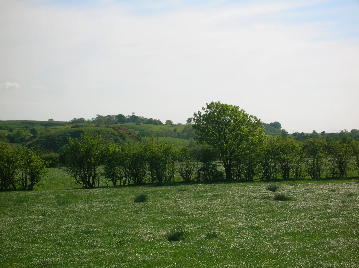
Dunlop Castle
Castles · 2.3 km
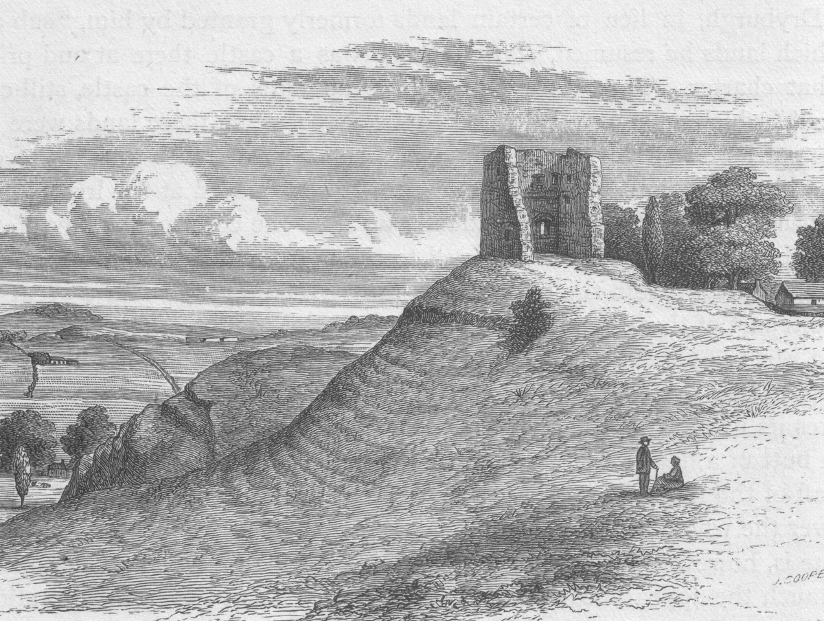
Barony and Castle of Giffen
Castles · 3.0 km

Corsehill Castle
Castles · 3.1 km
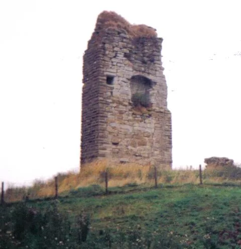
Barony and Castle of Corsehill
Castles · 3.1 km

Craighead Law
Vineyards · 3.6 km
Nearby
📷 5Historic churches · Scottish Lowlands
Parish Church, Dunlop
Parish Church, Dunlop — category B listed building-listed church in scotland-highlands, United Kingdom.
📷 3📷 5Natural landmarks · Scottish Lowlands
Clandeboye School
Clandeboye School — a school heritage in scotland-highlands, United Kingdom.
📷 3Historic houses · Scottish Lowlands
Kirkland, Dunlop
Kirkland, Dunlop — former manse in Dunlop, East Ayrshire, Scotland, UK.
📷 3Memorials & monuments · Scottish Lowlands
Dunlop Nature Park Cairn
Dunlop Nature Park Cairn — a memorial in scotland-highlands, United Kingdom.
📷 5Where to eat & stay near Straightbow Bridge
Places to stay
 📷 5
📷 5Caravan parks · Scottish Lowlands
Viewfield Manor Leisure Park
Viewfield Manor Leisure Park — a caravan park in scotland highlands.
 📷 5
📷 5 📷 5
📷 5Campsites · Scottish Lowlands
Eglinton Camping and Touring Site
Eglinton Camping and Touring Site — a campsite in scotland highlands.
 📷 5
📷 5 📷 5
📷 5Caravan parks · Scottish Lowlands
Sandylands Holiday Park
Sandylands Holiday Park — a caravan park in scotland highlands. Brand: Parkdean Resorts.
 📷 5
📷 5Caravan parks · Scottish Lowlands
Crosbie Towers
Crosbie Towers — a caravan park in scotland highlands.
Places to eat & drink
 📷 5
📷 5Historic pubs · Central Scotland
The Smugglers Tavern, 53, 55 Eglinton Street, Beith
The Smugglers Tavern, 53, 55 Eglinton Street, Beith in Scotland Central, United Kingdom.
 📷 7
📷 7Historic pubs · Scottish Lowlands
Weston Tavern
Weston Tavern in Scotland Central, United Kingdom.
 📷 5
📷 5Historic pubs · Scottish Lowlands
Public House, Lawthorn, Irvine
Public House, Lawthorn, Irvine in Scotland Central, United Kingdom.
 📷 5
📷 5Historic pubs · Scottish Lowlands
The Auld Hoose Bar, 9 Main Street, Dalry
The Auld Hoose Bar, 9 Main Street, Dalry in Scotland Central, United Kingdom.
 📷 5
📷 5Historic pubs · Scottish Lowlands
Kingsway Bar, 26-28 Main Street, Kilwinning
Kingsway Bar, 26-28 Main Street, Kilwinning in Scotland Central, United Kingdom.
 📷 5
📷 5Historic pubs · Scottish Lowlands
The Clansman, 58, 60, 62 John Finnie Street, Kilmarnock
The Clansman, 58, 60, 62 John Finnie Street, Kilmarnock in Scotland Central, United Kingdom.
More bridges in this region
 📷 5
📷 5 📷 3
📷 3Historic bridges · Scottish Lowlands
Spittal-on-Rule
Spittal-on-Rule in England North East, United Kingdom.
 📷 4
📷 4Historic bridges · Scottish Lowlands
Coldstream Bridge
Coldstream Bridge in England North East, United Kingdom.
 📷 3
📷 3Frequently asked questions
- Where is Straightbow Bridge?
- Straightbow Bridge is in the Scottish Highlands, United Kingdom (postcode KA3 4AG).
- What is Straightbow Bridge?
- Straightbow Bridge — category C listed building-listed bridge in scotland-highlands, United Kingdom.
- How do I get to Straightbow Bridge?
- The nearest railway station is Dunlop, about 0.6 km away. Drivers can use postcode KA3 4AG.
- When was Straightbow Bridge built?
- Built or established in 1825.
- Is Straightbow Bridge a listed building?
- Straightbow Bridge is officially recognised as category C listed building listed.
- Is Straightbow Bridge free to visit?
- Yes, Straightbow Bridge is free to enter.
- How do I get to Straightbow Bridge?
- The nearest railway station is Dunlop, about 0.6 km away. Drivers can navigate to postcode KA3 4AG.