Wildlife reserves · West Midlands
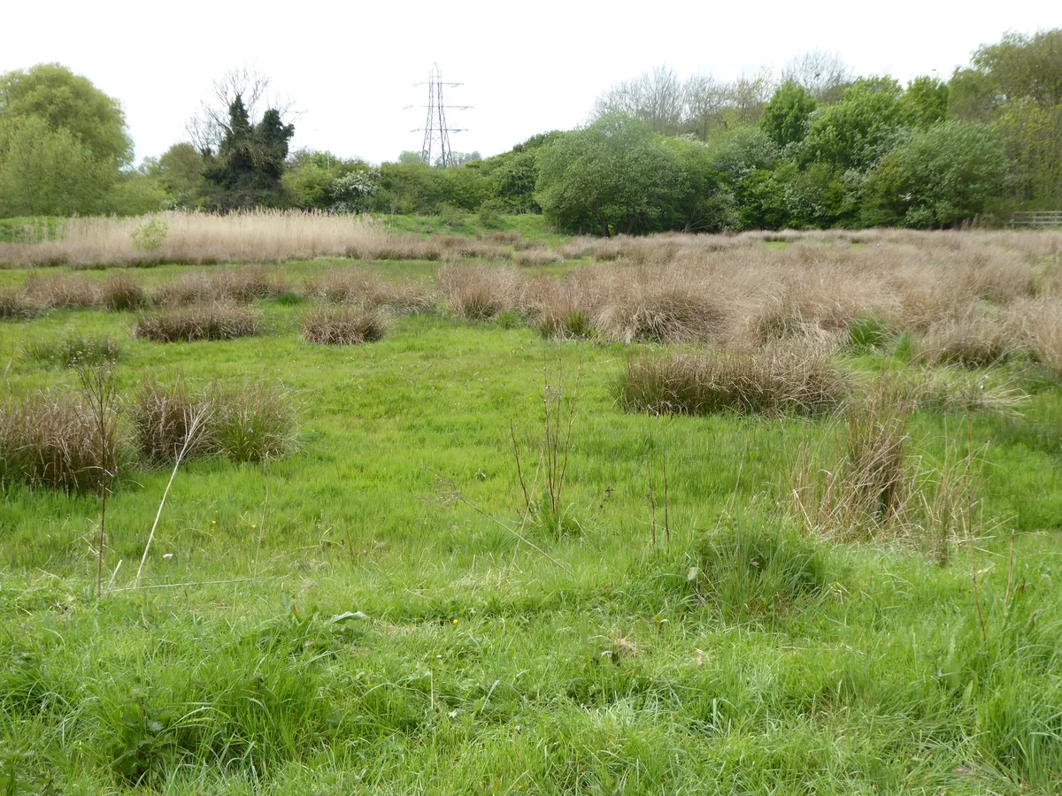
Stourton Pit
Stourton Pit — nature reserves in south Staffordshire, England.
.jpg?width=1200)
Wikimedia Commons contributors — see linked file page for photographer and licence licence
.jpg)
Plan your visit
- Typical visit
- 2 h–4 h
- Best time of year
- Autumn & winter (migration & wildfowl)
- Nearest railway station
- Stourbridge Town · 4.0 km
- Free entry
- Dog-friendly
About
Stourton Pit is a wildlife reserve in the United Kingdom. Wikidata describes it as: "nature reserves in south Staffordshire, England". Coordinates: 52.4584°, -2.2006°.
Photo gallery
Place summary
Stourton Pit is a wildlife reserve located in the West Midlands, within Staffordshire's Kinver parish. This area is significant for its ecological diversity and habitat conservation.
AI-generated from the structured facts on this page (operator, designation, listing, era). Not a substitute for visiting.
- Coordinates
- 52.4584, -2.2006
- County
- Staffordshire
- District
- South Staffordshire
- Parish
- Kinver
- Postcode
- DY7 6RW
- Parliamentary constituency
- Kingswinford and South Staffordshire
- Nearest railway station
- Stourbridge Town — 4 km
- Official site
- stourtonpit.weebly.com
Sources
- wikidata: Q137885805 (CC0)
- commons: Dunsley Bank Gibbet Wood Sand Pit (50141492177).jpg (CC BY-SA 4.0)
Other places nearby
Loading nearby places…
Nearby
 📷 3
📷 3Castles · West Midlands
Stourton Castle
Stourton Castle — Grade II listed building-listed castle in england-west-midlands, United Kingdom.
 📷 5
📷 5Other places · West Midlands
Stourton, Staffordshire
Stourton, Staffordshire — a other in england-west-midlands, United Kingdom.
 📷 3
📷 3Miniature railways · West Midlands
Kinver Miniature Railway
Kinver Miniature Railway — a miniature railway in england-west-midlands, United Kingdom.
 📷 5
📷 5Museums · West Midlands
Kinver
Kinver is a large village in the District of South Staffordshire in Staffordshire, England. It is in the far south-west of the county, at the end of the narrow finger of land surrounded by the countie
 📷 4
📷 4Theatres · West Midlands
Kinema Theatre
Kinema Theatre in England West Midlands, United Kingdom.
 📷 3
📷 3Historic churches · West Midlands
St Peter's Church
St Peter's Church — church in Kinver, Staffordshire, England.
More places in this region
 Flagship📷 3
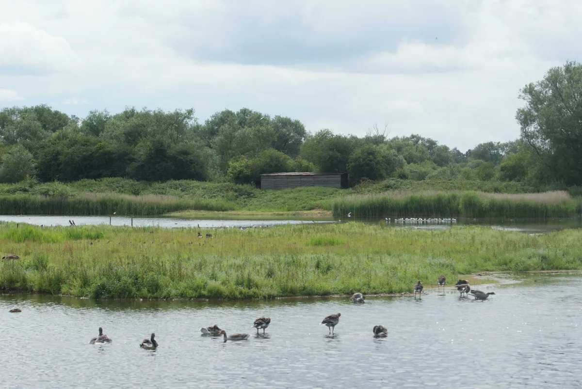
Wildlife reserves · West Midlands
Abington Meadows
Abington Meadows — nature reserve in the United Kingdom.
 📷 5
📷 5Wildlife reserves · West Midlands
Brandon Marsh
Brandon Marsh — nature reserve in the United Kingdom.
 📷 5
📷 5Wildlife reserves · West Midlands
Bugbrooke Meadows
Bugbrooke Meadows — nature reserve in the United Kingdom.
 📷 5
📷 5Wildlife reserves · West Midlands
Chorleywood Common
Chorleywood Common — nature reserve in Hertfordshire, England.
Frequently asked questions
- Where is Stourton Pit?
- Stourton Pit is in Staffordshire, the West Midlands, United Kingdom (postcode DY7 6RW), in the parish of Kinver.
- Is Stourton Pit free to visit?
- Yes, Stourton Pit is free to enter.
- How do I get to Stourton Pit?
- The nearest railway station is Stourbridge Town, about 4.0 km away. Drivers can navigate to postcode DY7 6RW.
- Are dogs allowed at Stourton Pit?
- Most wildlife reserves allow dogs on lead only, with restrictions during ground-nesting bird season (March-July). Check signage at the reserve.