
Gardens · South West England
Stourhead
In or near Silton.
Wiltshire's 18th-century classical landscape garden — the original Pantheon-and-lake idyll.

Lewis Clarke — CC BY-SA 2.0 via Wikimedia Commons licence

Plan your visit
- Typical visit
- 1 h–2.5 h
- Best time of year
- Spring & summer (Apr–Sep)
- Nearest railway station
- Gillingham · 8.9 km
- Paid entry
- Family-friendly
- Dog-friendly
Getting there & planning your visit
To visit Stourhead, the nearest railway station is Gillingham, located 8.9 km away. The postcode for sat-nav is BA12 6QF, and entry is paid. Accessibility information is not provided.
About
Stourhead in Wiltshire is the most-recognised English landscape garden — laid out by Henry Hoare II between 1741 and 1780 around an artificial lake, with a circuit walk past a Pantheon, a Temple of Apollo, a Grotto and a faithful copy of the Bristol High Cross. The Palladian house at the centre completes the ensemble. National Trust.
Photo gallery
Summary from the official site
Stourhead is a historic estate in Wiltshire known for its stunning gardens and neoclassical house. Visitors can explore the expansive gardens, which feature a variety of plants and scenic views, as well as tour the house to learn about its history and architecture.
Read more on the official property page.
Protected designations
- Area of Outstanding Natural Beauty: Cranborne Chase & West Wiltshire Downs
Designations sourced from Natural England open data under OGL v3.
From the Wikipedia article
Stourhead () is a 1,072-hectare (2,650-acre) estate at the source of the River Stour in the southwest of the English county of Wiltshire, extending into Somerset. The estate is about 4 km (2+1⁄2 mi) northwest of the town of Mere and includes a Grade I listed 18th-century Neo-Palladian mansion, the village of Stourton, one of the most famous gardens in the English landscape garden style, farmland, and woodland. Stourhead has been part-owned by the National Trust since 1946.
Excerpt from Wikipedia under CC BY-SA 4.0. See the source article linked in Sources below.
Background
Visiting
The Temple of Apollo is featured in Joe Wright's 2005 adaptation of Pride and Prejudice as the site of the proposal scene between Elizabeth and Mr. Darcy.
Sourced from Wikipedia under CC BY-SA 4.0.
- Coordinates
- 51.1083, -2.3194
- District
- Wiltshire
- Parish
- Stourton with Gasper
- Postcode
- BA12 6QF
- Parliamentary constituency
- South West Wiltshire
- Phone
- +44 1747 841152
- Established
- 1721
- Nearest railway station
- Gillingham — 8.9 km
- Opening
- Daily 9:30am–4:30pm; House 11am–4pm; closed 24–26 Dec
- Official site
- www.nationaltrust.org.uk
Sources
- manual: stourhead-garden (manual)
- wikipedia: Stourhead (CC BY-SA 4.0)
Featured in these 3 guides
Other places nearby
Stourhead House
Historic houses · 0.0 km

Stourton with Gasper
Other places · 0.3 km

Stourhead Gatehouse
Follies · 0.3 km

Stourhead Obelisk
Memorials & monuments · 0.4 km

Church of St Peter, Stourton
Historic churches · 0.4 km

Stourton
Villages · 0.5 km

Bristol Cross
Memorials & monuments · 0.5 km

The Temple of Flora at Stourhead
Follies · 0.5 km

Temple of Flora
Follies · 0.5 km

Wessex Ridgeway Trail
Mountain bike trails · 0.5 km

Stourhead Gardens
Gardens · 0.5 km

Palladian Bridge
Historic bridges · 0.5 km
Nearby
📷 5Historic houses · South West England
Stourhead House
Stourhead House — a other in england-south-east, United Kingdom.
📷 5Other places · South West England
Stourton with Gasper
Stourton with Gasper — a other in england-south-east, United Kingdom.
📷 5Follies · South West England
Stourhead Gatehouse
Stourhead Gatehouse — Folly or eyecatcher.
📷 5Memorials & monuments · South West England
Stourhead Obelisk
Stourhead Obelisk is a memorial in the United Kingdom.
📷 5Historic churches · South West England
Church of St Peter, Stourton
Church of St Peter, Stourton — church in Stourton, Wiltshire, England, UK.
📷 5Where to eat & stay near Stourhead
Places to stay
 📷 2
📷 2Campsites · South West England
Two Counties Farm
Two Counties Farm — a campsite in england south east.
 📷 5
📷 5Campsites · South West England
Sunnyhill Campsite
Sunnyhill Campsite — a campsite in england south east.
 📷 5
📷 5Campsites · South West England
Bush Farm Bison Centre
Bush Farm Bison Centre — a campsite in england south east.
 📷 5
📷 5Campsites · South West England
Leela Fields Caravan & Camping Park
Leela Fields Caravan & Camping Park — a campsite in england south east.
 📷 5
📷 5 📷 5
📷 5Caravan parks · South West England
Longleat Caravan Club Site
Longleat Caravan Club Site — a caravan park in england south east.
Places to eat & drink
 📷 7
📷 7Historic pubs · South West England
The Bath Arms
The Bath Arms in England South West, United Kingdom.
 📷 5
📷 5 📷 7
📷 7Historic pubs · South West England
The Bath Arms
The Bath Arms in England South West, United Kingdom.
 📷 5
📷 5 📷 7
📷 7Historic pubs · South West England
The Bell And Crown Public House
The Bell And Crown Public House in England South West, United Kingdom.
 📷 7
📷 7Restaurants · South West England
The Old Bath Arms
The Old Bath Arms — a restaurant in england south east.
Other gardens from this era
.jpg?width=1200) 📷 5
📷 5 📷 3
📷 3Gardens · South East England
Sezincote House
Sezincote House — Grade I listed country house in Gloucestershire, England, UK.
 📷 3
📷 3Gardens · North West England
Cholmondeley Castle
Cholmondeley Castle — country house in Cholmondeley, Cheshire, England, UK.
 📷 3
📷 3Gardens · Central Scotland
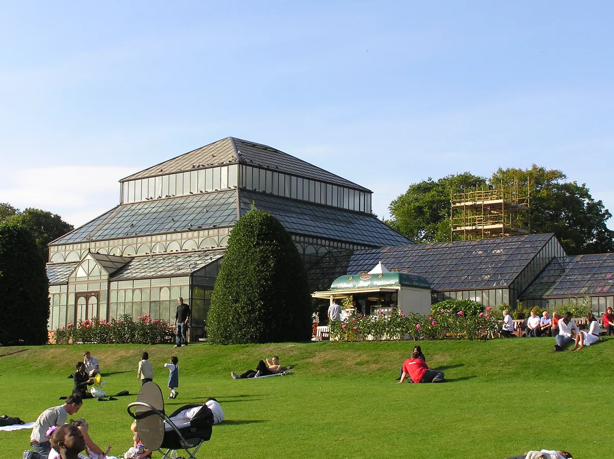
Glasgow Botanic Gardens
Glasgow Botanic Gardens — botanical garden in Glasgow, Scotland, UK.
More gardens in this region
 📷 5
📷 5Gardens · South West England
Avebury Manor and Garden
Avebury Manor and Garden is a garden in the United Kingdom.
.jpg?width=1200) 📷 5
📷 5Gardens · South West England
Compton Acres
Compton Acres — garden in Poole, United Kingdom.
 📷 5
📷 5Gardens · South West England
Corsham Court
Corsham Court — Grade I listed English country house in Wiltshire, England, UK.
 📷 5
📷 5Gardens · South West England
Cranborne Manor
Cranborne Manor — Grade I listed English country house in East Dorset, England, UK.
Frequently asked questions
- Where is Stourhead?
- Stourhead is in South-West England, United Kingdom (postcode BA12 6QF), in the parish of Stourton with Gasper.
- What is Stourhead?
- Wiltshire's 18th-century classical landscape garden — the original Pantheon-and-lake idyll.
- How do I get to Stourhead?
- The nearest railway station is Gillingham, about 8.9 km away. Drivers can use postcode BA12 6QF.
- When was Stourhead built?
- Built or established in 1721.
- Who owns Stourhead?
- Stourhead is owned by National Trust.
- Is Stourhead a listed building?
- Stourhead is officially recognised as Grade I listed.
- Is Stourhead a protected site?
- Yes — Stourhead is part of the Cranborne Chase & West Wiltshire Downs National Landscape (AONB).
- How do I get to Stourhead?
- Drivers can navigate to postcode BA12 6QF. It sits within the South West Wiltshire parliamentary constituency.