
Archaeological sites · South West England
Stone alignment, hut circle settlement, medieval long house and post-medieval farmstead at Assycombe
In or near Gidleigh.
Stone alignment, hut circle settlement, medieval long house and post-medieval farmstead at Assycombe — archaeological site in Dartmoor Forest, West Devon, England, UK.

Wikimedia Commons contributors — see linked file page for photographer and licence licence

Plan your visit
- Typical visit
- 45 min–1.5 h
- Free entry
- Dog-friendly
About
Stone alignment, hut circle settlement, medieval long house and post-medieval farmstead at Assycombe is an archaeological site in the United Kingdom. Heritage designation: scheduled monument. Wikidata describes it as: "archaeological site in Dartmoor Forest, West Devon, England, UK". Coordinates: 50.6286°, -3.8967°.
Photo gallery
Protected designations
- Site of Special Scientific Interest: North Dartmoor SSSI
- Site of Special Scientific Interest: East Dartmoor SSSI
Designations sourced from Natural England open data under OGL v3.
Place summary
The stone alignment, hut circle settlement, medieval long house, and post-medieval farmstead at Assycombe is an archaeological site located in South-West England. It is designated as a scheduled monument and is part of the North Dartmoor SSSI and East Dartmoor SSSI. The site reflects a range of historical periods and land use.
AI-generated from the structured facts on this page (operator, designation, listing, era). Not a substitute for visiting.
- Coordinates
- 50.6286, -3.8967
- County
- Devon
- District
- West Devon
- Parish
- Chagford
- Postcode
- TQ13 8EA
- Parliamentary constituency
- Central Devon
Sources
- wikidata: Q17663373 (CC0)
- commons: Assycombe hut circle - geograph.org.uk - 1366996.jpg (CC BY-SA 4.0)
Other places nearby

Assycombe Hill
Mountains & hills · 0.8 km

White Ridge
Mountains & hills · 1.0 km

White Ridge
Mountains & hills · 1.2 km

Fernworthy Circle
Archaeological sites · 1.5 km

Fernworthy Circle
Archaeological sites · 1.5 km

Fernworthy Reservoir
Reservoirs & lochs · 1.5 km

Fernworthy Stone Row
Stone circles · 1.6 km
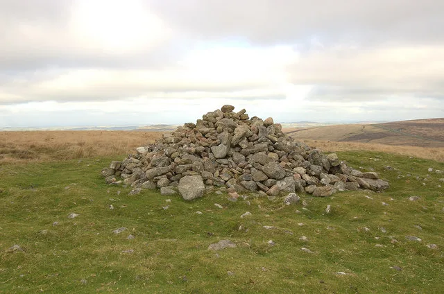
Two cairns on the summit of Water Hill 450m north west of Warren House Inn
Archaeological sites · 1.9 km

Two stone circles known as The Grey Wethers, three round cairns, two ring cairns and an oval enclosure in Great Stannon Newtake
Archaeological sites · 2.0 km

Stannon Tor
Mountains & hills · 2.0 km
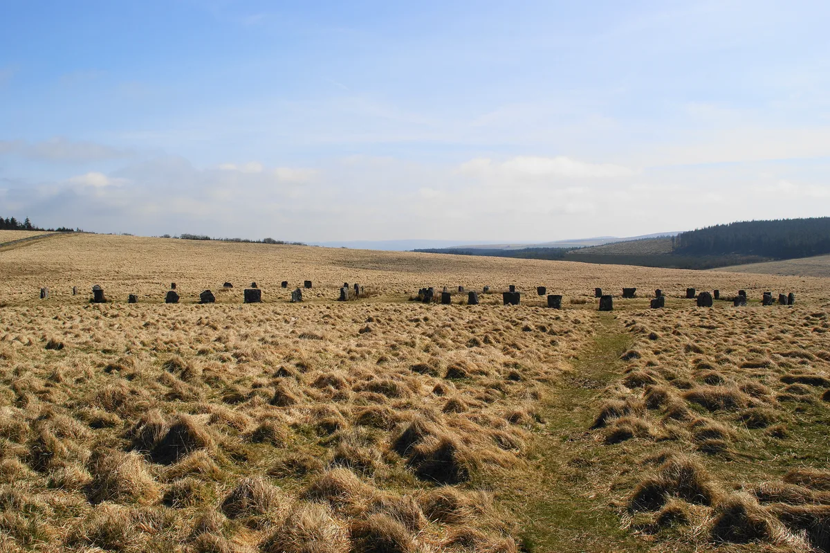
Grey Wethers
Hill forts · 2.1 km

Blowing House
Historic houses · 2.2 km
Nearby
📷 5Mountains & hills · South West England
Assycombe Hill
Assycombe Hill — a hill or mountain in england south west.
📷 5Mountains & hills · South West England
White Ridge
White Ridge — mountain in england south west. Elevation: 504 m.
📷 5Mountains & hills · South West England
White Ridge
White Ridge — a hill or mountain in england south west.
📷 3Archaeological sites · South West England
Fernworthy Circle
Fernworthy Circle — an archaeological site in South West England, United Kingdom.
📷 5Archaeological sites · South West England
Fernworthy Circle
Fernworthy Circle — archaeological in england south west.
📷 5Reservoirs & lochs · South West England
Fernworthy Reservoir
Fernworthy Reservoir — reservoir in Devon, England.
Where to eat & stay near Stone alignment, hut circle settlement, medieval long house and post-medieval farmstead at Assycombe
Places to stay
 📷 5
📷 5Campsites · South West England
Runnage Farm Campsite
Runnage Farm Campsite — a campsite in england south west.
 📷 5
📷 5Hostels · South West England
YHA Dartmoor Hostel Bellever
YHA Dartmoor Hostel Bellever — a hostel in england south west.
 📷 5
📷 5Hotels · South West England
Gidleigh Park
Gidleigh Park — a hotel in england south west.
 📷 5
📷 5Hotels · South West England
The Three Crowns Hotel
The Three Crowns Hotel — a hotel in england south west.
 📷 5
📷 5 📷 5
📷 5Campsites · South West England
Longhouse Barn, Dartmoor.
Longhouse Barn, Dartmoor. — a campsite in england south west.
Places to eat & drink
 📷 7
📷 7Historic pubs · South West England
Warren House Inn
Warren House Inn in England South West, United Kingdom.
 📷 5
📷 5Historic pubs · South West England
The Oxenham Arms
The Oxenham Arms in England South West, United Kingdom.
 📷 5
📷 5 📷 5
📷 5Historic pubs · South West England
Tom Cobley Tavern
Tom Cobley Tavern in England South West, United Kingdom.
 📷 5
📷 5Historic pubs · South West England
The Victoria Inn
The Victoria Inn in England South West, United Kingdom.
 📷 7
📷 7More archaeological sites in this region
 📷 5
📷 5Archaeological sites · South West England
Battlesbury Camp Monuments: hillfort, settlement, cemetery, barrows, enclosure, and field systems
Battlesbury Camp Monuments: hillfort, settlement, cemetery, barrows, enclosure, and field systems — archaeological site in Warminster, Wiltshire, England, UK.
 📷 5
📷 5Archaeological sites · South West England
Blandford Forest
Blandford Forest — forest in Blandford Forum, England.
 📷 5
📷 5Archaeological sites · South West England
Boulsbury Wood
Boulsbury Wood — protected area in Dorset and Hampshire, England.
.jpg?width=1200) 📷 5
📷 5Archaeological sites · South West England
Cranborne Chase
Cranborne Chase — Plateau in southern England.
Frequently asked questions
- Where is Stone alignment, hut circle settlement, medieval long house and post-medieval farmstead at Assycombe?
- Stone alignment, hut circle settlement, medieval long house and post-medieval farmstead at Assycombe is in Devon, South-West England, United Kingdom (postcode TQ13 8EA), in the parish of Chagford.
- What is Stone alignment, hut circle settlement, medieval long house and post-medieval farmstead at Assycombe?
- Stone alignment, hut circle settlement, medieval long house and post-medieval farmstead at Assycombe — archaeological site in Dartmoor Forest, West Devon, England, UK.
- How do I get to Stone alignment, hut circle settlement, medieval long house and post-medieval farmstead at Assycombe?
- The nearest town is Gidleigh. Drivers can use postcode TQ13 8EA.
- Is Stone alignment, hut circle settlement, medieval long house and post-medieval farmstead at Assycombe a listed building?
- Stone alignment, hut circle settlement, medieval long house and post-medieval farmstead at Assycombe is officially recognised as scheduled monument listed.
- Is Stone alignment, hut circle settlement, medieval long house and post-medieval farmstead at Assycombe a protected site?
- Yes — Stone alignment, hut circle settlement, medieval long house and post-medieval farmstead at Assycombe is part of the North Dartmoor SSSI Site of Special Scientific Interest and the East Dartmoor SSSI Site of Special Scientific Interest.
- Is Stone alignment, hut circle settlement, medieval long house and post-medieval farmstead at Assycombe free to visit?
- Yes, Stone alignment, hut circle settlement, medieval long house and post-medieval farmstead at Assycombe is free to enter.
- How do I get to Stone alignment, hut circle settlement, medieval long house and post-medieval farmstead at Assycombe?
- Drivers can navigate to postcode TQ13 8EA. It sits within the Central Devon parliamentary constituency.