
Historic houses · South East England
Stoke Park Pavilions
In or near Stoke Bruerne.
Stoke Park Pavilions are all that remain of the stately house and grounds of Stoke Park near the village of Stoke Bruerne, Northamptonshire, England, approximately 8 miles (13 km) south of Northampton

Ian Rob — CC BY-SA 2.0 via Wikimedia Commons licence

Plan your visit
- Typical visit
- 1 h–2 h
- Family-friendly
- Limited wheelchair access
About
Stoke Park Pavilions are all that remain of the stately house and grounds of Stoke Park near the village of Stoke Bruerne, Northamptonshire, England, approximately 8 miles (13 km) south of Northampton and 11 miles (18 km) north of Milton Keynes.
Photo gallery
From the Wikipedia article
Stoke Park Pavilions are all that remain of the stately house and grounds of Stoke Park near the village of Stoke Bruerne, Northamptonshire, England, approximately 8 miles (13 km) south of Northampton and 11 miles (18 km) north of Milton Keynes.
Excerpt from Wikipedia under CC BY-SA 4.0. See the source article linked in Sources below.
Background
Description
The surviving portions of the house built by Robert Crane in the late 1620s, consist of two pavilions and remains of a curving colonnade, form the centrepiece of the park, with an attractive terraced 17th-century garden with views across the parkland to the south. The pavilions represent some of the earliest Palladian structures built in England and, despite some remodelling in the 18th century and modern conversion for residential use of the eastern pavilion, they are of great historic and architectural significance. The associated house was destroyed by fire in the late 19th century, although details of its design have survived in drawings from the 18th century. It was almost immediately…
Visiting
The pavilions and park are currently private property and only occasionally accessible to the public from the narrow road between the villages of Stoke Bruerne and Shutlanger opposite the turn north to Blisworth. There is some limited permitted public access to the buildings during afternoons in August for a small fee. There are usually signs indicating this at the entrance along Shutlanger Road around this time. Access to the public is required as a condition of funding by English Heritage to continue preservation activity. The buildings can also be seen from the A508 Northampton to Milton Keynes road about two miles south of the village of Roade and one mile before the hills at Grafton…
Sourced from Wikipedia under CC BY-SA 4.0.
- Coordinates
- 52.1321, -0.9191
- District
- West Northamptonshire
- Parish
- Stoke Bruerne
- Postcode
- NN12 7RZ
- Parliamentary constituency
- South Northamptonshire
- Phone
- 01604862329
- Official site
- www.stokeparkpavilions.co.uk
Sources
- wikipedia: Stoke Park Pavilions (CC BY-SA 4.0)
- fsq: 4fca4f04e4b076b9bd0a11ef (Apache-2.0)
Other places nearby

Old Brick Pit NR
Forests & woodlands · 0.8 km
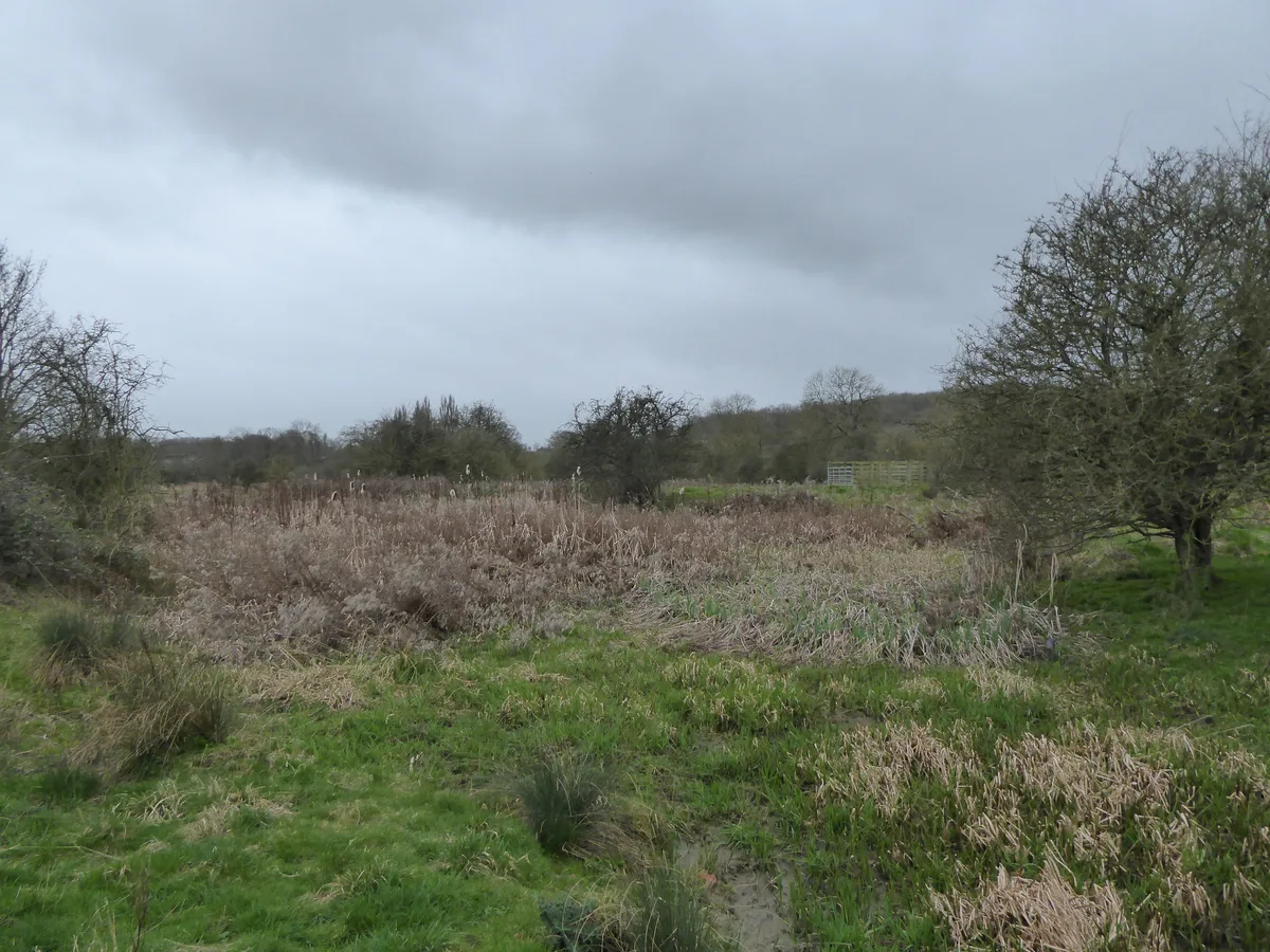
Stoke Bruerne Brick Pits
Wildlife reserves · 0.8 km

Lock Number 17
Canal locks · 0.9 km
.jpg?width=1200)
Lock Number 20 Stoke Bottom Lock
Canal locks · 0.9 km

Lock Number 15
Canal locks · 1.0 km

Home farm CL
Campsites · 1.1 km

Bridge Number 53
Historic bridges · 1.1 km

Lock Number 14 Stoke Top Lock
Canal locks · 1.1 km

The Boat Inn
Historic pubs · 1.1 km
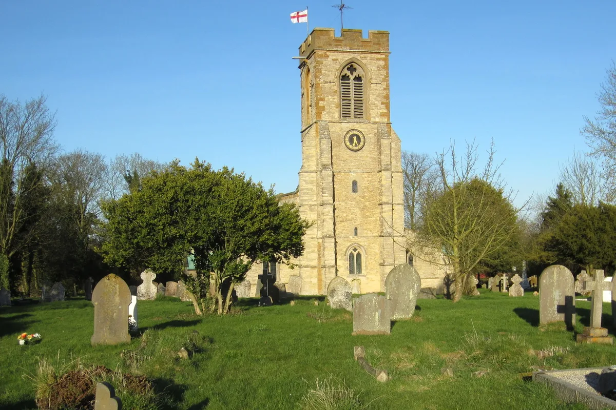
Stoke Bruerne
Towns & cities · 1.2 km

Canal Museum, Stoke Bruerne
Museums · 1.2 km
The Canal Museum
Museums · 1.2 km
Nearby
📷 5Forests & woodlands · South East England
Old Brick Pit NR
Old Brick Pit NR is a forest or woodland in the United Kingdom.
📷 5Wildlife reserves · South East England
Stoke Bruerne Brick Pits
Stoke Bruerne Brick Pits — nature reserve in the United Kingdom.
📷 3Canal locks · South East England
Lock Number 17
Lock Number 17 — lock in Stoke Bruerne, South Northamptonshire, England, UK.
📷 3Canal locks · South East England
Lock Number 20 Stoke Bottom Lock
Lock Number 20 Stoke Bottom Lock — lock in Stoke Bruerne, South Northamptonshire, England, UK.
📷 3Canal locks · South East England
Lock Number 15
Lock Number 15 — lock in Stoke Bruerne, South Northamptonshire, England, UK.
📷 5Where to eat & stay near Stoke Park Pavilions
Places to stay
📷 5 📷 7
📷 7Hotels · South East England
The Saracen's Head
The Saracen's Head — a hotel in england west midlands.
 📷 7
📷 7Hotels · South East England
Travelodge Towcester Sliverstone
Travelodge Towcester Sliverstone — a hotel in england west midlands. 1-star. Brand: Travelodge.
 📷 5
📷 5Hotels · South East England
Hilton Northampton
Hilton Northampton — a hotel in england west midlands. 4-star. Brand: Hilton Hotels & Resorts.
 📷 5
📷 5Caravan parks · South East England
The Limes Caravan Park
The Limes Caravan Park — a caravan park in england west midlands.
 📷 5
📷 5Caravan parks · South East England
Gayton Marina Caravan Park
Gayton Marina Caravan Park — a caravan park in england west midlands.
Places to eat & drink
📷 5Historic pubs · South East England
The Boat Inn
The Boat Inn in England West Midlands, United Kingdom.
 📷 7
📷 7Historic pubs · South East England
The Plough Public House
The Plough Public House in England West Midlands, United Kingdom.
 📷 5
📷 5Historic pubs · South East England
Watts Arms Public House And Watts To Rear
Watts Arms Public House And Watts To Rear in England South East, United Kingdom.
 📷 5
📷 5Historic pubs · South East England
The Compass Public House
The Compass Public House in England West Midlands, United Kingdom.
 📷 5
📷 5Historic pubs · South East England
The Carrington Arms Public House
The Carrington Arms Public House in England South East, United Kingdom.
 📷 5
📷 5Historic pubs · South East England
The Barley Mow Public House
The Barley Mow Public House in England South East, United Kingdom.
More historic houses in this region
 📷 5
📷 5Historic houses · South East England
12 and 14 High Street, Rochester
12 and 14 High Street, Rochester — building in Rochester, Kent, England, UK.
 📷 5
📷 5Historic houses · South East England
Berkeley House
Berkeley House — house in Rochester, Kent, England, UK.
.jpg?width=1200) 📷 5
📷 5Historic houses · South East England
Betchworth House
Betchworth House — house in Betchworth, Mole Valley, England, UK.
 📷 5
📷 5Historic houses · South East England
Bookham Grove
Bookham Grove — building in Mole Valley, Surrey, England, UK.
Frequently asked questions
- Where is Stoke Park Pavilions?
- Stoke Park Pavilions is in South-East England, United Kingdom (postcode NN12 7RZ), in the parish of Stoke Bruerne.
- What is Stoke Park Pavilions?
- Stoke Park Pavilions are all that remain of the stately house and grounds of Stoke Park near the village of Stoke Bruerne, Northamptonshire, England, approximately 8 miles (13 km) south of Northampton
- How do I get to Stoke Park Pavilions?
- The nearest town is Stoke Bruerne. Drivers can use postcode NN12 7RZ.
- How do I get to Stoke Park Pavilions?
- Drivers can navigate to postcode NN12 7RZ. It sits within the South Northamptonshire parliamentary constituency.