
Mountains & hills · Scottish Highlands
Stob Coire Easain
In or near Spean Bridge.
Stob Coire Easain — Named summit at 1078 m.

Wikimedia Commons contributors — see linked file page for photographer and licence licence

Plan your visit
- Typical visit
- 3 h–8 h
- Best time of year
- Late spring – early autumn (May–Oct)
- Nearest railway station
- Spean Bridge · 8.8 km
- Free entry
- Dog-friendly
Getting there & planning your visit
To visit Stob Coire Easain, the nearest railway station is Spean Bridge, located 8.8 km away. Entry to the mountain is free.
About
Stob Coire Easain is a named summit in the United Kingdom. Wikidata describes it as: "Named summit at 1078 m.". Coordinates: 56.8126°, -4.8933°.
Photo gallery
Official information
Stob Coire Easain is a mountain located in the Fort William region, known for its steep northeast face and scenic ridge. It is part of a twin peak formation with Stob a' Choire Mheadhoin, offering various routes for hikers and stunning panoramic views from the summit.
From the Wikipedia article
Stob Coire Easain is a Scottish Munro mountain which reaches a height of 1115 metres (3658 feet), situated 18 kilometres east of Fort William. It stands on the western side of Loch Treig, along with its "twin", the Munro Stob a' Choire Mheadhoin (1105 metres). Collectively the pair are called "The Easains" or the "Stob Corries" and stand just one kilometre apart connected by a high col with an approximate height of 965 metres. The fine corrie of Coire Easain Beag lies in between the two mountains facing north west. Stob Coire Easain’s name translates from the Gaelic as “Peak of the Corrie of the Little Waterfall”. This mountain should not be confused with another Stob Coire Easain, a Munro “Top” on the Munro Stob Coire an Laoigh. The Easains stand in splendid isolation, hemmed in by valleys on three sides, giving Stob Coire Easain a substantial topographic prominence of 611 metres. The mountain is the highest point on a nine kilometre long ridge which runs the entire length of the western side of Loch Treig; the eastern side of this ridge drops very steeply to the waters of the loch. To the west of the mountain is the valley of the Allt na Lairig. A subsidiary ridge going north from the summit is initially steep and craggy as it descends to the head of Coire Laire. To the south of the summit the main ridge descends gently over Irlick Chaoile to the lonely country at the head of Loch Treig. All drainage from the mountain goes into the River Spean to find its way to the west coast of Scotland via Loch Linnhe. Because of their close proximity, the Easains are usually climbed together with the best starting point being at the hamlet of Fersit (NN350784) where there is room to park a number of cars on the verges. The north east ridge of Stob a’ Choire Mheadhoin is followed to the summit; it is then a steep descent and climb across the stony col to the summit of Stob Coire Easain. An alternative walk utilises the West Highland Line, with the walker starting at Corrour…
Excerpt from Wikipedia under CC BY-SA 4.0. See the source article linked in Sources below.
- Coordinates
- 56.8126, -4.8933
- Address
- Highland, Scotland
- Nearest railway station
- Spean Bridge — 8.8 km
- Official site
- www.walkhighlands.co.uk
Sources
- osm: n382955833 (ODbL)
- wikipedia: Stob Coire Easain (CC BY-SA 4.0)
- commons: Stob Coire Easain from Stob Ban.jpg (CC BY-SA 4.0)
Other places nearby
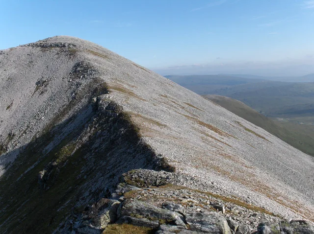
Stob Coire an Laoigh
Mountains & hills · 0.5 km
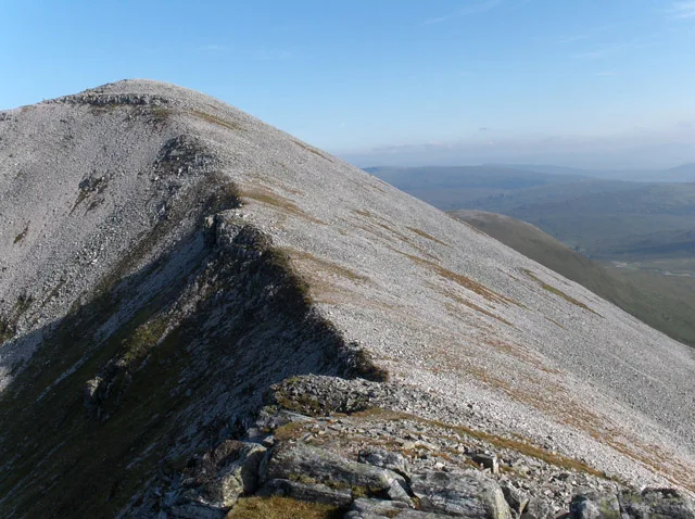
Stob Coire an Laoigh
Natural landmarks · 0.5 km

Beinn na Socaich
Mountains & hills · 0.7 km

Caisteal
Mountains & hills · 1.1 km
Grey Corries
Mountains & hills · 1.2 km

Sgurr Choinnich Mor
Mountains & hills · 1.5 km
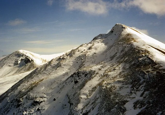
Sgùrr Choinnich Mòr
Mountains & hills · 1.5 km
Stob Coire Cath na Sine
Mountains & hills · 1.7 km

Eas Bàn, Grey Corries
Natural landmarks · 1.9 km
Sgurr Choinnich Beag
Mountains & hills · 2.2 km

Sgùrr Chòinnich Beag
Mountains & hills · 2.3 km

Stob Choire Claurigh - Stob a'Choire Leith
Mountains & hills · 2.3 km
Nearby
📷 3Mountains & hills · Scottish Highlands
Stob Coire an Laoigh
Stob Coire an Laoigh — Named summit at 1117 m.
📷 3Natural landmarks · Scottish Highlands
Stob Coire an Laoigh
Stob Coire an Laoigh — 1116m high mountain in Highland, Scotland, UK.
📷 3Mountains & hills · Scottish Highlands
Beinn na Socaich
Beinn na Socaich — a mountain in scotland-highlands, United Kingdom.
📷 3Mountains & hills · Scottish Highlands
Caisteal
Caisteal — a mountain in scotland-highlands, United Kingdom.
📷 4Mountains & hills · Scottish Highlands
Grey Corries
Grey Corries in Scotland Islands, United Kingdom.
📷 5Mountains & hills · Scottish Highlands
Sgurr Choinnich Mor
Sgurr Choinnich Mor — a hill or mountain in scotland highlands.
Where to eat & stay near Stob Coire Easain
Places to stay
 📷 5
📷 5Caravan parks · Scottish Highlands
Nevis Range Campervan Park
Nevis Range Campervan Park — a caravan park in scotland highlands.
 📷 5
📷 5Campsites · Scottish Highlands
Insh Scout Campsite
Insh Scout Campsite — a campsite in scotland highlands.
 📷 5
📷 5Campsites · Scottish Highlands
Bunroy Caravan & Camping Park
Bunroy Caravan & Camping Park — a campsite in scotland highlands.
 📷 5
📷 5 📷 5
📷 5 📷 5
📷 5Places to eat & drink
 📷 4
📷 4Historic pubs · Scottish Highlands
Clachaig Inn
Clachaig Inn in Scotland Islands, United Kingdom.
More mountains in this region
 📷 3
📷 3Mountains & hills · Scottish Highlands
A' Bhuidheanach Bheag
A' Bhuidheanach Bheag — Named summit at 936 m.
 📷 3
📷 3Mountains & hills · Scottish Highlands
A' Chailleach
A' Chailleach — Named summit at 997 m.
 📷 3
📷 3Mountains & hills · Scottish Highlands
A' Chailleach
A' Chailleach — Named summit at 930 m.
 📷 3
📷 3Frequently asked questions
- Where is Stob Coire Easain?
- Stob Coire Easain is in the Scottish Highlands, United Kingdom.
- What is Stob Coire Easain?
- Stob Coire Easain — Named summit at 1078 m.
- How do I get to Stob Coire Easain?
- The nearest railway station is Spean Bridge, about 8.8 km away. Its coordinates are 56.8126°, -4.8933°.
- Is Stob Coire Easain free to visit?
- Yes, Stob Coire Easain is free to enter.