
Stately homes · South East England
Stargroves
In or near Inkpen.
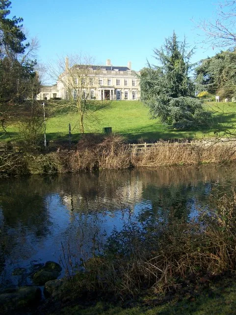
Stargroves — recording studio and house in East Woodhay, Hampshire, England, UK.

Wikimedia Commons contributors — see linked file page for photographer and licence licence

Plan your visit
- Typical visit
- 2 h–4 h
- Nearest railway station
- Kintbury · 6.6 km
- Family-friendly
- Limited wheelchair access
Getting there & planning your visit
To visit Stargroves, the nearest railway station is Kintbury, located 6.6 km away. The postcode for sat-nav is RG20 0AE. Accessibility is limited for wheelchair users.
About
Stargroves is a stately home in the United Kingdom. Heritage designation: Grade II listed building. Wikidata describes it as: "recording studio and house in East Woodhay, Hampshire, England, UK". Coordinates: 51.3470°, -1.4110°.
Photo gallery
Heritage listing
Stargroves (also known as Stargrove House) is a manor house and associated estate at East Woodhay in the English county of Hampshire. The house belonged to Mick Jagger during the 1970s and was a recording venue for the Rolling Stones and various other rock bands, as well as a filming location for Doctor Who.
From the Historic England List Entry under OGL v3.
Protected designations
- Area of Outstanding Natural Beauty: Cotswolds
- Area of Outstanding Natural Beauty: North Wessex Downs
Designations sourced from Natural England open data under OGL v3.
From the Wikipedia article
Stargroves (also known as Stargrove House) is a manor house and associated estate at East Woodhay in the English county of Hampshire. The house belonged to Mick Jagger during the 1970s and was a recording venue for the Rolling Stones and various other rock bands, as well as a filming location for Doctor Who.
Excerpt from Wikipedia under CC BY-SA 4.0. See the source article linked in Sources below.
Background
History
The Goddard family owned the estate from 1565 until about 1830. Oliver Cromwell stopped at Stargroves after the second battle of Newbury (27 October 1644), and was entertained by the owner, John Goddard. Edward Goddard owned the estate from 1778 to 1788. It was also owned by Capt. Sir F. H. W. Carden, 3rd Baronet. In the early 1840s, Stargrove House was destroyed by a fire. Around 1848 a new manor house was built, designed in an ornate, Victorian Gothic style in the manner of a French château. The new house was bought by a Captain Ramsay, and in 1879 was sold to Sir Frederick Henry Walter Carden, who made alterations to the house and landscaped the park. Stargroves is noted for its…
Sourced from Wikipedia under CC BY-SA 4.0.
- Coordinates
- 51.3470, -1.4110
- County
- Hampshire
- District
- Basingstoke and Deane
- Parish
- East Woodhay
- Postcode
- RG20 0AE
- Parliamentary constituency
- North West Hampshire
- Nearest railway station
- Kintbury — 6.6 km
Sources
- wikidata: Q4050052 (CC0)
- wikipedia: Stargroves (CC BY-SA 4.0)
- commons: Stargrove - geograph.org.uk - 62433.jpg (CC BY-SA 4.0)
Other places nearby

Stargrove
Manor houses · 0.1 km

East Woodhay
Villages · 0.5 km

Moongrove
Manor houses · 0.8 km

Hollington House
Manor houses · 1.4 km
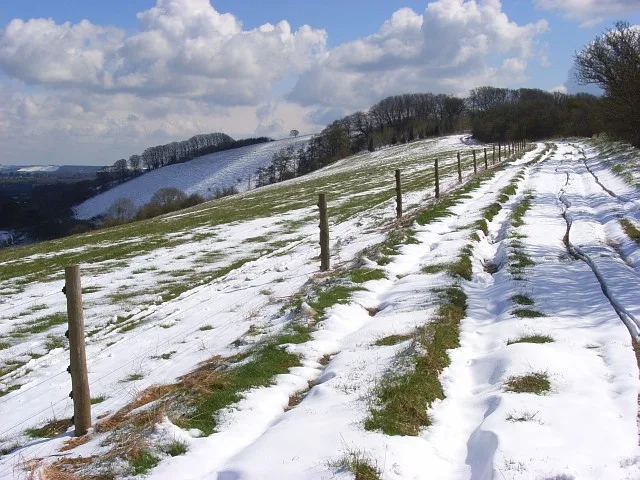
Pilot Hill
Mountains & hills · 1.5 km

Woolton Hill War Memorial
Memorials & monuments · 1.9 km

The Clump
Mountains & hills · 2.3 km

Pill Hill
Mountains & hills · 2.3 km

West Woodhay
Castles · 2.6 km

Highclere
Villages · 2.6 km

Sandpits Down
Mountains & hills · 2.8 km

Church of St Michael Archangel
Historic churches · 3.0 km
Nearby
📷 5Manor houses · South East England
Stargrove
Stargrove — a manor in england-south-east, United Kingdom.
📷 5📷 5Manor houses · South East England
Moongrove
Moongrove — a manor in england-south-east, United Kingdom.
📷 4Manor houses · South East England
Hollington House
Hollington House — a manor in england-south-east, United Kingdom.
📷 5📷 5Memorials & monuments · South East England
Woolton Hill War Memorial
Woolton Hill War Memorial — Grade II listed building-listed memorial in england-south-east, United Kingdom.
Where to eat & stay near Stargroves
Places to stay
 📷 5
📷 5Campsites · South East England
Oakley Farm Caravan Park
Oakley Farm Caravan Park — a campsite in england south east.
 📷 5
📷 5Hostels · South East England
Two Saints
Two Saints — a hostel in england south east.
 📷 5
📷 5Hotels · South East England
The Retreat at Elcot Park
The Retreat at Elcot Park — a hotel in england south east.
 📷 7
📷 7 📷 5
📷 5Hotels · South East England
The Elephant at the Market
The Elephant at the Market — a hotel in england south east.
 📷 7
📷 7Hotels · South East England
The Chequers
The Chequers — a hotel in england south east.
Places to eat & drink
 📷 7
📷 7Historic pubs · South East England
The Carnarvon Arms Public House
The Carnarvon Arms Public House in England South East, United Kingdom.
 📷 5
📷 5Historic pubs · South East England
The Old Craven Arms
The Old Craven Arms in England South East, United Kingdom.
 📷 7
📷 7Historic pubs · South East England
Wellington Arms Public House
Wellington Arms Public House in England South East, United Kingdom.
 📷 7
📷 7Historic pubs · South East England
The Eight Bells
The Eight Bells in England South East, United Kingdom.
 📷 5
📷 5 📷 7
📷 7Historic pubs · South East England
King Charles Tavern
King Charles Tavern in England South East, United Kingdom.
More places in this region
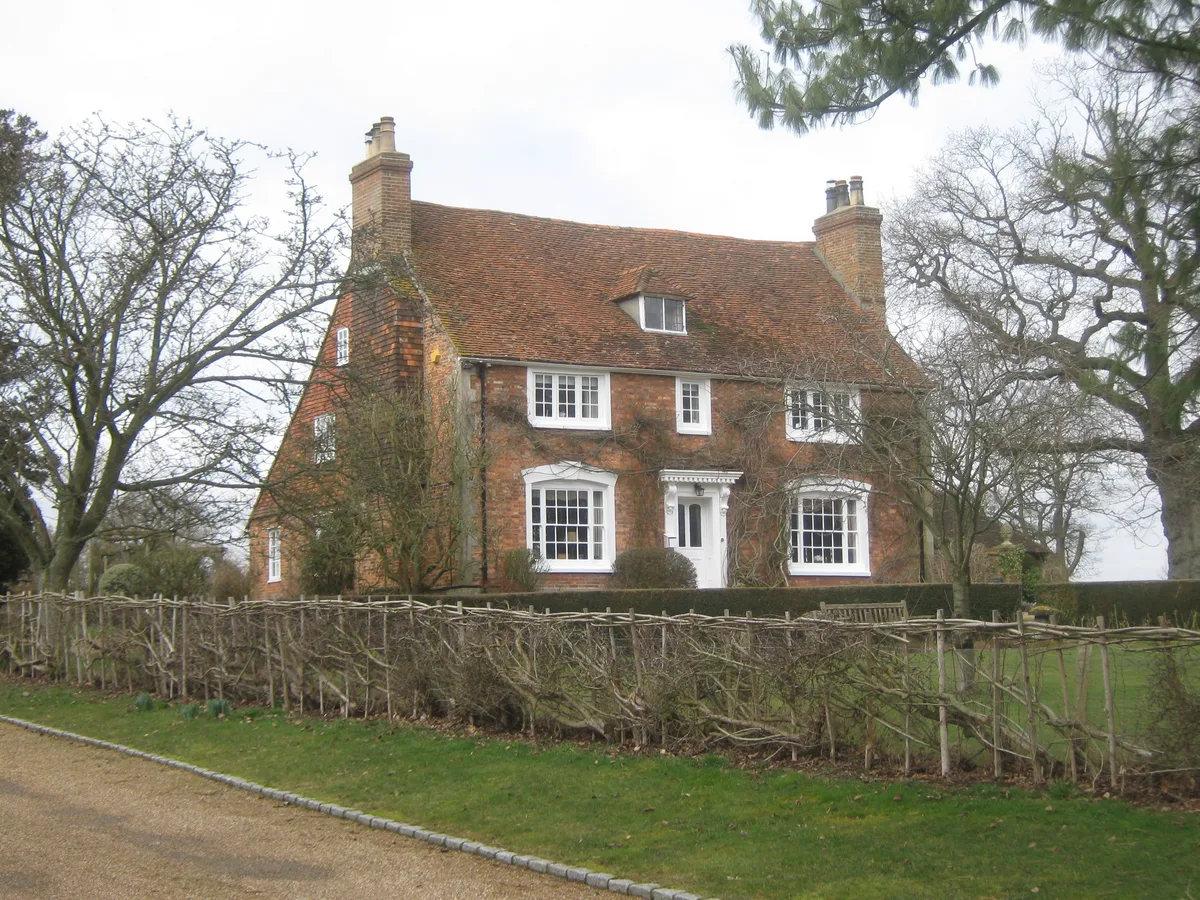 Flagship📷 5
Stately homes · South East England
Broxham Manor
Broxham Manor — manor house in Hever, Sevenoaks, Kent, England, UK.
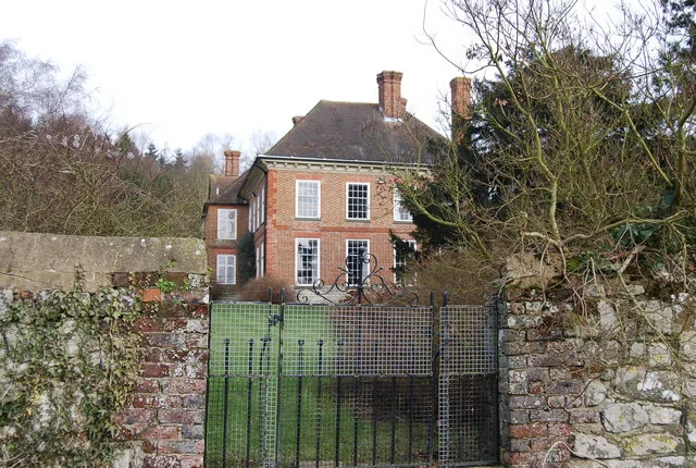 Flagship📷 5
Stately homes · South East England
Buston Manor
Buston Manor — manor house in Hunton, Kent, England, UK.
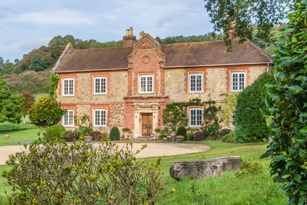 📷 5
📷 5Stately homes · South East England
Chilworth Manor
Chilworth Manor — manor house in Chilworth, Surrey, England, UK.
 Flagship📷 5
Stately homes · South East England
Douce's Manor
Douce's Manor — manor house in West Malling, Kent, England, UK.
Frequently asked questions
- Where is Stargroves?
- Stargroves is in Hampshire, South-East England, United Kingdom (postcode RG20 0AE), in the parish of East Woodhay.
- What is Stargroves?
- Stargroves — recording studio and house in East Woodhay, Hampshire, England, UK.
- How do I get to Stargroves?
- The nearest railway station is Kintbury, about 6.6 km away. The nearest town is Inkpen. Drivers can use postcode RG20 0AE.
- Is Stargroves a listed building?
- Stargroves is officially recognised as Grade II listed building listed.
- Is Stargroves a protected site?
- Yes — Stargroves is part of the Cotswolds National Landscape (AONB) and the North Wessex Downs National Landscape (AONB).
- How do I get to Stargroves?
- The nearest railway station is Kintbury, about 6.6 km away. Drivers can navigate to postcode RG20 0AE.