
Historic houses · West Midlands
Standing cross on Prestbury Road, 150m south east of Lane End crossroads
In or near Henbury.
Standing cross on Prestbury Road, 150m south east of Lane End crossroads — a Grade II*-listed historic house in england-west-midlands, United Kingdom.

Milestone Society — CC BY-SA 2.0 via Wikimedia Commons licence

Plan your visit
- Typical visit
- 1 h–2 h
- Nearest railway station
- Prestbury · 2.4 km
- Family-friendly
- Limited wheelchair access
About
Standing cross on Prestbury Road, 150m south east of Lane End crossroads is a Grade II*-listed building in england-west-midlands, United Kingdom. Grade II* status is conferred by Historic England (or Cadw, Historic Environment Scotland or NIEA equivalents) on buildings of exceptional national interest. See the linked Wikipedia article for full historical and architectural details.
Photo gallery
Place summary
The Standing Cross on Prestbury Road, located 150m south-east of Lane End crossroads in the West Midlands, is a historic structure designated as Grade II*. It is situated within the parish of Prestbury and is notable for its architectural significance.
AI-generated from the structured facts on this page (operator, designation, listing, era). Not a substitute for visiting.
- Coordinates
- 53.2729, -2.1555
- District
- Cheshire East
- Parish
- Prestbury
- Postcode
- SK10 4AD
- Parliamentary constituency
- Macclesfield
- Established
- 1100
- Nearest railway station
- Prestbury — 2.4 km
Sources
- wikidata: Q17674015 (CC0)
Other places nearby
The Fallibroome Academy
Natural landmarks · 0.4 km

Ian Curtis
Memorials & monuments · 1.3 km

Whitfield House
Historic houses · 1.3 km

Macclesfield Cemetery
Cemeteries · 1.3 km

Normans Hall
Historic houses · 1.5 km

Beech Hall School
Historic houses · 1.7 km
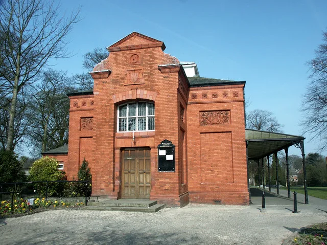
West Park Museum
Museums · 1.7 km
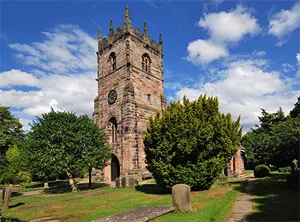
St Peter's Church, Prestbury
Historic churches · 1.9 km
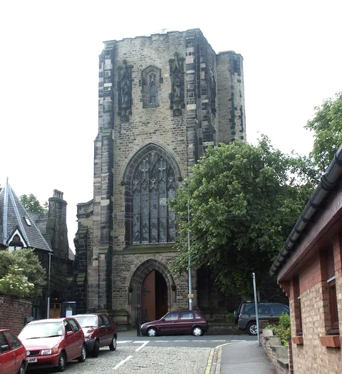
St Alban's Church, Macclesfield
Historic churches · 2.0 km

Memorial Gate
Memorials & monuments · 2.1 km

Henbury and Broken Cross War Memorial
Memorials & monuments · 2.1 km
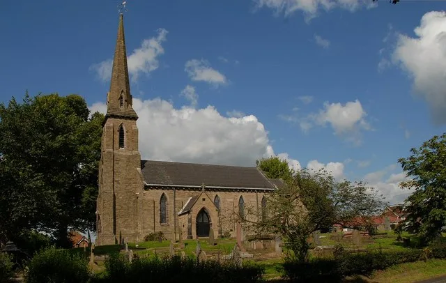
St Thomas' Church, Henbury
Historic churches · 2.2 km
Nearby
📷 5Natural landmarks · West Midlands
The Fallibroome Academy
The Fallibroome Academy — a school heritage in england-west-midlands, United Kingdom.
📷 5Memorials & monuments · West Midlands
Ian Curtis
Ian Curtis — a memorial in england-west-midlands, United Kingdom.
📷 3Historic houses · West Midlands
Whitfield House
Whitfield House — house in Macclesfield, Cheshire, England, UK.
📷 3Cemeteries · West Midlands
Macclesfield Cemetery
Macclesfield Cemetery is a cemetery in the United Kingdom.
📷 2Historic houses · West Midlands
Normans Hall
Normans Hall — a Grade II*-listed historic house in england-west-midlands, United Kingdom.
📷 5Historic houses · West Midlands
Beech Hall School
Beech Hall School — a school heritage in england-west-midlands, United Kingdom.
Where to eat & stay near Standing cross on Prestbury Road, 150m south east of Lane End crossroads
Places to stay
 📷 5
📷 5Hotels · West Midlands
Hollin House Hotel
Hollin House Hotel — a hotel in england west midlands.
 📷 5
📷 5Hotels · Yorkshire & the Humber
Mottram Hall Hotel
Mottram Hall Hotel — a hotel in england west midlands.
 📷 5
📷 5Caravan parks · North West England
Capesthorne Caravan Park
Capesthorne Caravan Park — a caravan park in england west midlands.
 📷 5
📷 5Caravan parks · Yorkshire & the Humber
Eastwood End Holiday Park
Eastwood End Holiday Park — a caravan park in england west midlands.
 📷 5
📷 5Caravan parks · West Midlands
Stoneyfold Caravan Park
Stoneyfold Caravan Park — a caravan park in england west midlands.
 📷 5
📷 5Caravan parks · Yorkshire & the Humber
Elm Beds Caravan Park
Elm Beds Caravan Park — a caravan park in england west midlands.
Places to eat & drink
 📷 7
📷 7Historic pubs · North West England
George Hotel Public House
George Hotel Public House in England North West, United Kingdom.
 📷 5
📷 5Historic pubs · North West England
Bate Hall Public House
Bate Hall Public House in England North West, United Kingdom.
 📷 5
📷 5Historic pubs · North West England
2 and 4, Market Place
2 and 4, Market Place in England North West, United Kingdom.
 📷 5
📷 5Historic pubs · North West England
The Castle, Macclesfield
The Castle, Macclesfield in England North West, United Kingdom.
 📷 5
📷 5Historic pubs · North West England
Lord Byron Public House
Lord Byron Public House in England North West, United Kingdom.
 📷 5
📷 5Restaurants · West Midlands
Sutton Hall
Sutton Hall — a restaurant in england west midlands.
More historic houses in this region
_-_geograph.org.uk_-_1441773.jpg?width=1200) 📷 3
📷 3Historic houses · West Midlands
Bishton Hall
Bishton Hall — country house in Staffordshire, England, UK.
 📷 3
📷 3Historic houses · West Midlands
Callowhill Hall
Callowhill Hall — house in Kingstone, East Staffordshire, England, UK.
 📷 3
📷 3Historic houses · West Midlands
Church House
Church House — building in Abbots Bromley, Staffordshire, England, UK.
 📷 3
📷 3Frequently asked questions
- Where is Standing cross on Prestbury Road, 150m south east of Lane End crossroads?
- Standing cross on Prestbury Road, 150m south east of Lane End crossroads is in the West Midlands, United Kingdom (postcode SK10 4AD), in the parish of Prestbury.
- What is Standing cross on Prestbury Road, 150m south east of Lane End crossroads?
- Standing cross on Prestbury Road, 150m south east of Lane End crossroads — a Grade II*-listed historic house in england-west-midlands, United Kingdom.
- How do I get to Standing cross on Prestbury Road, 150m south east of Lane End crossroads?
- The nearest railway station is Prestbury, about 2.4 km away. Drivers can use postcode SK10 4AD.
- When was Standing cross on Prestbury Road, 150m south east of Lane End crossroads built?
- Built or established in 1100.
- Is Standing cross on Prestbury Road, 150m south east of Lane End crossroads a listed building?
- Standing cross on Prestbury Road, 150m south east of Lane End crossroads is officially recognised as Grade II* listed.
- How do I get to Standing cross on Prestbury Road, 150m south east of Lane End crossroads?
- The nearest railway station is Prestbury, about 2.4 km away. Drivers can navigate to postcode SK10 4AD.