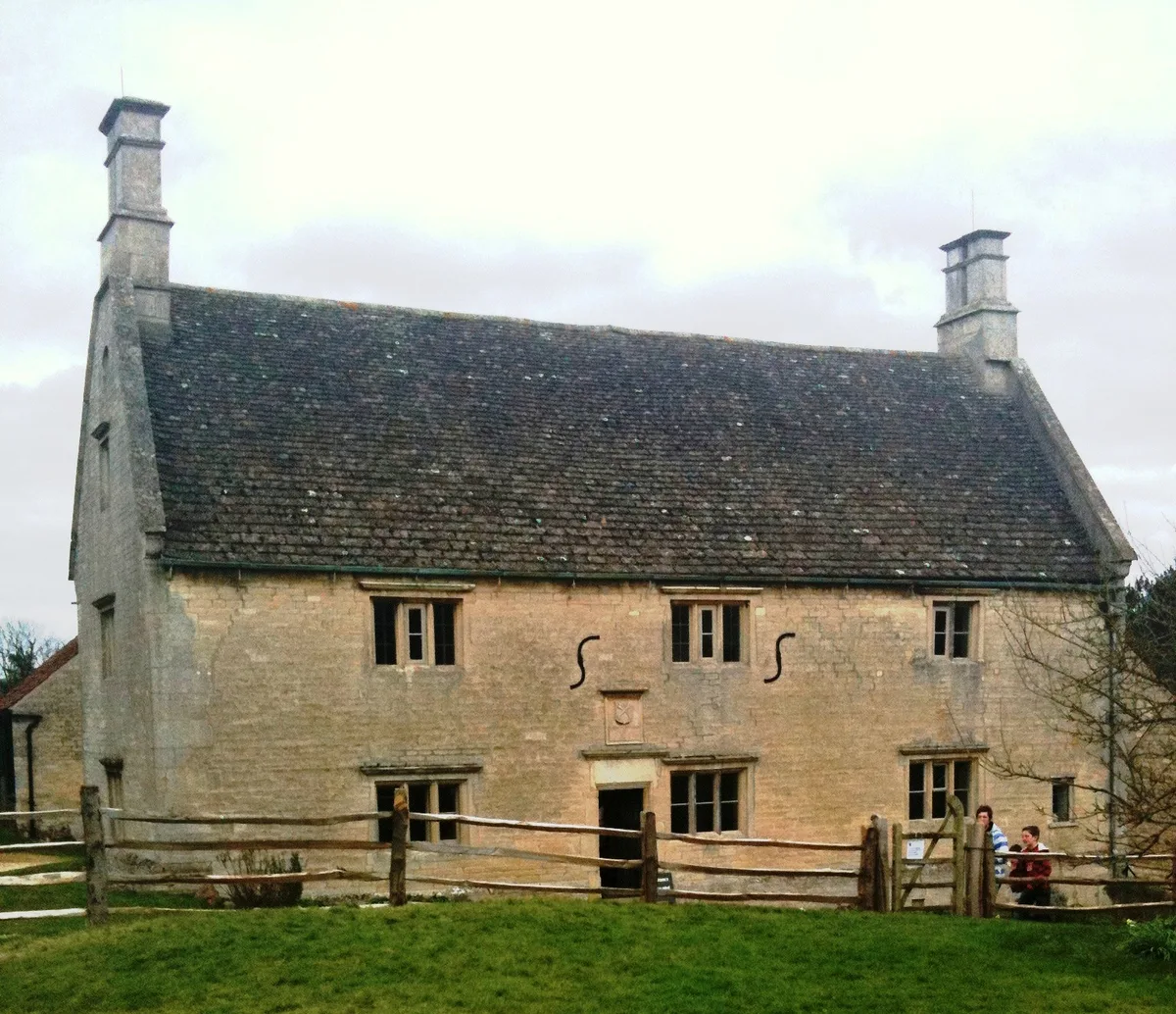
Historic churches · East Midlands
Stainby
In or near South Witham.
Stainby is a village and former civil parish, now in the parish of Gunby and Stainby, in the South Kesteven district of Lincolnshire, England. It is situated 2 miles (3.2 km) west from the A1 road, 1.

Alan Murray-Rust — CC BY-SA 2.0 via Wikimedia Commons licence
Plan your visit
- Typical visit
- 30 min–1 h
- Free entry
About
Stainby is a village and former civil parish, now in the parish of Gunby and Stainby, in the South Kesteven district of Lincolnshire, England. It is situated 2 miles (3.2 km) west from the A1 road, 1.5 miles (2.4 km) east from the Viking Way and the Leicestershire border, and 8 miles (13 km) south from Grantham. In 1921 the parish had a population of 117. Stainby is part of the civil parish of Gunby and Stainby, which is now administered as part of the Colsterworth district parishes. Stainby had been a parish in its own right until 1931. Adjacent villages include Buckminster, North Witham, Colsterworth, Gunby, Sewstern and Skillington. Stainby is on the B676 road which runs between Melton Mowbray (Buckminster Road) and Colsterworth (Colsterworth Road). The road is used by heavy goods vehicles from the nearby industrial estate at Sewstern and by vehicles heading from the Midlands towards East Anglia; an alternative route is through Wymondham and South Witham. There are no shops or public houses - the nearest are in Colsterworth. The church, on Main Road, is dedicated to St Peter. The former Stainby quarry is an event venue for vehicle off-roading.
Photo gallery
From the Wikipedia article
Stainby is a village and former civil parish, now in the parish of Gunby and Stainby, in the South Kesteven district of Lincolnshire, England. It is situated 2 miles (3.2 km) west from the A1 road, 1.5 miles (2.4 km) east from the Viking Way and the Leicestershire border, and 8 miles (13 km) south from Grantham. In 1921 the parish had a population of 117.
Stainby is part of the civil parish of Gunby and Stainby, which is now administered as part of the Colsterworth district parishes. Stainby had been a parish in its own right until 1931. Adjacent villages include Buckminster, North Witham, Colsterworth, Gunby, Sewstern and Skillington. Stainby is on the B676 road which runs between Melton Mowbray (Buckminster Road) and Colsterworth (Colsterworth Road). The road is used by heavy goods vehicles from the nearby industrial estate at Sewstern and by vehicles heading from the Midlands towards East Anglia; an alternative route is through Wymondham and South Witham. There are no shops or public houses - the nearest are in Colsterworth. The church, on Main Road, is dedicated to St Peter. The former Stainby quarry is an event venue for vehicle off-roading.
Excerpt from Wikipedia under CC BY-SA 4.0. See the source article linked in Sources below.
Background
History
Stainby is recorded in the 1086 Domesday Book as "Stigandebi". The remains of a Motte, probably associated with the former Manor House, stand in the village. It is known as '. On 1 April 1931 the parish was abolished and merged with Gunby to form "Gunby and Stainby".
Sourced from Wikipedia under CC BY-SA 4.0.
- Coordinates
- 52.7965, -0.6539
- County
- Lincolnshire
- District
- South Kesteven
- Parish
- Gunby and Stainby
- Postcode
- NG33 5QR
- Parliamentary constituency
- Rutland and Stamford
Sources
- wikipedia: Stainby (CC BY-SA 4.0)
Other places nearby

Tower Hill motte castle, Stainby
Literary houses · 0.3 km
Stainby Tower Hill
Castles · 0.3 km

Gunby, South Kesteven
Historic churches · 1.4 km

Churchyard cross, St Nicholas' churchyard
Historic churches · 1.5 km

Sewstern
Villages · 2.1 km
Woolsthorpe Manor
Stately homes · 2.1 km

Woolsthorpe Manor (Isaac Newton's Birthplace)
Museums · 2.1 km

North Witham
Villages · 2.2 km

Woolsthorpe-by-Colsterworth
Museums · 2.3 km

Colsterworth War Memorial
Memorials & monuments · 2.3 km

Colsterworth
Historic churches · 2.6 km

Bridge Over River Witham
Historic bridges · 2.6 km
Nearby
📷 5Literary houses · East Midlands
Tower Hill motte castle, Stainby
Tower Hill motte castle, Stainby — a literary house museum in england east midlands.
📷 5📷 5Historic churches · East Midlands
Gunby, South Kesteven
Gunby, South Kesteven — a church in england-east-midlands, United Kingdom.
📷 3Historic churches · East Midlands
Churchyard cross, St Nicholas' churchyard
Churchyard cross, St Nicholas' churchyard — a Grade II*-listed church in england-east-midlands, United Kingdom.
📷 5📷 5Stately homes · East Midlands
Woolsthorpe Manor
Woolsthorpe Manor — country house in Woolsthorpe-by-Colsterworth, Lincolnshire, England, UK.
Where to eat & stay near Stainby
Places to stay
 📷 5
📷 5Caravan parks · East Midlands
Rutland Caravan and Camping
Rutland Caravan and Camping — a caravan park in england east midlands.
 📷 5
📷 5Campsites · East Midlands
Fair Farm
Fair Farm — a campsite in england east midlands.
 📷 5
📷 5Caravan parks · East Midlands
Greendale Farm Caravan Park
Greendale Farm Caravan Park — a caravan park in england east midlands.
 📷 5
📷 5 📷 7
📷 7Hotels · East Midlands
Wisteria Hotel
Wisteria Hotel — a hotel in england west midlands.
 📷 5
📷 5Caravan parks · East Midlands
Road End Farm Caravan Site
Road End Farm Caravan Site — a caravan park in england west midlands.
Places to eat & drink
 📷 5
📷 5Historic pubs · East Midlands
Three Horse Shoes Public House
Three Horse Shoes Public House in England East, United Kingdom.
 📷 5
📷 5 📷 5
📷 5 📷 5
📷 5 📷 5
📷 5 📷 6
📷 6Historic pubs · East Midlands
Blue Man Public House
Blue Man Public House in England East, United Kingdom.
More places in this region
 📷 5
📷 5Historic churches · East Midlands
All Saints' Church, Stamford
All Saints' Church, Stamford — church in Stamford, Lincolnshire, England, UK.
 📷 5
📷 5Historic churches · East Midlands
Church of All Saints
Church of All Saints — church in Little Casterton, Rutland, United Kingdom.
 📷 5
📷 5Historic churches · East Midlands
Church of All Saints
Church of All Saints — church in Fenland, UK.
 📷 5
📷 5Historic churches · East Midlands
Church of St Leonard
Church of St Leonard — church in Fenland, UK.
Frequently asked questions
- Where is Stainby?
- Stainby is in Lincolnshire, the East Midlands, United Kingdom (postcode NG33 5QR), in the parish of Gunby and Stainby.
- What is Stainby?
- Stainby is a village and former civil parish, now in the parish of Gunby and Stainby, in the South Kesteven district of Lincolnshire, England. It is situated 2 miles (3.2 km) west from the A1 road, 1.
- How do I get to Stainby?
- Drivers can use postcode NG33 5QR.
- Is Stainby free to visit?
- Yes, Stainby is free to enter.
- How do I get to Stainby?
- Drivers can navigate to postcode NG33 5QR. It sits within the Rutland and Stamford parliamentary constituency.