Historic churches · Northern Ireland
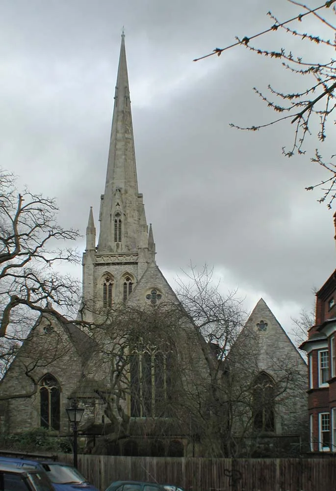
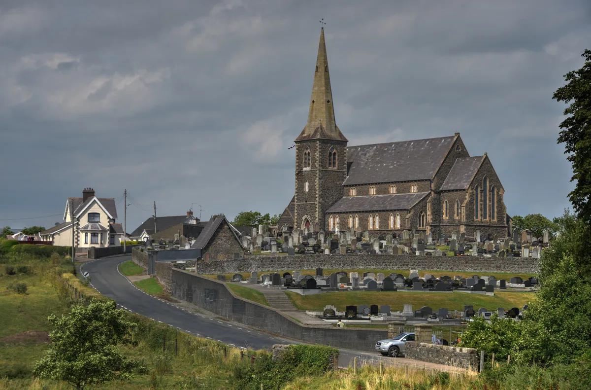
St. Thomas' Church
St. Thomas' Church — church building in Belfast, County Antrim, Northern Ireland.

Wikimedia Commons contributors — see linked file page for photographer and licence licence
Plan your visit
- Typical visit
- 30 min–1 h
- Nearest railway station
- Adelaide · 0.7 km
- Free entry
About
St. Thomas' Church is a historic church in the United Kingdom. Records date its origin to 1869. Heritage designation: Grade B+ listed building. Wikidata describes it as: "church building in Belfast, County Antrim, Northern Ireland". Coordinates: 54.5820°, -5.9460°.
Photo gallery
Heritage listing
St Thomas' Church is a church of the Church of Ireland in south Belfast, Northern Ireland. It is located at the end of Eglantine Avenue at the junction with the Lisburn Road and holds regular services. The parish extends from Elmwood Avenue to Adelaide Park, and from the Malone Road to the Lisburn Road.
From the Historic England List Entry under OGL v3.
From the Wikipedia article
St Thomas' Church is a church of the Church of Ireland in south Belfast, Northern Ireland. It is located at the end of Eglantine Avenue at the junction with the Lisburn Road and holds regular services. The parish extends from Elmwood Avenue to Adelaide Park, and from the Malone Road to the Lisburn Road.
Excerpt from Wikipedia under CC BY-SA 4.0. See the source article linked in Sources below.
Background
History
The part of Belfast south of Queen's University between the Malone and Lisburn roads, known as the 'Malone Ridge', underwent rapid expansion from the middle of the 19th century, as a prosperous and fashionable suburb of large detached villas and grand terraces. At the time, the Church of Ireland presence in this area was limited to the old Malone Church, as well as Christ Church in College Square, neither of which was deemed an appropriate place of worship. Following a generous bequest by Andrew Thomas McClean for the endowment and construction of a new parish church, the architect John Lanyon of Lanyon, Lynn and Lanyon was appointed in 1866. Building work, by Messrs. Lowry and Son,…
Architecture
St Thomas' Church was designed by architect John Lanyon, Moore and Weinberg's warehouse in present-day Donegall Square North (now housing the Linen Hall Library) and the main building at Queen's University (now called the Lanyon Building). St Thomas's is one of the grandest and most fully finished examples of High Victorian Gothic ecclesiastical architecture, not only in Belfast, but in Ulster. Built of white Scrabo sandstone with finely dressed masonry round doors and windows, it is adorned with red sandstone banding and coloured marble discs and colonnettes to the tower and spire. The exterior is a confident exercise in eclectic design: generally the style is Early French Gothic, but the…
Sourced from Wikipedia under CC BY-SA 4.0.
- Coordinates
- 54.5820, -5.9460
- District
- Belfast
- Postcode
- BT9 6DX
- Parliamentary constituency
- Belfast South and Mid Down
- Established
- 1869
- Nearest railway station
- Adelaide — 0.7 km
- Official site
- stthomas.connor.anglican.org
Sources
- wikidata: Q7595521 (CC0)
- wikipedia: St Thomas' Church, Belfast (CC BY-SA 4.0)
- commons: St Thomas' Church, Belfast.jpg (CC BY-SA 4.0)
Other places nearby
Loading nearby places…
Nearby
 📷 4
📷 4Natural landmarks · Northern Ireland
Belfast Windsor
Belfast Windsor in Northern Ireland, United Kingdom.
 📷 5
📷 5Historic churches · Northern Ireland
Belfast Islamic Centre
Belfast Islamic Centre — a church in northern-ireland, United Kingdom.
 📷 4
📷 4Natural landmarks · Northern Ireland
Methodist College Belfast
Methodist College Belfast in Northern Ireland, United Kingdom.
 📷 4
📷 4Natural landmarks · Northern Ireland
The Botanic Inn
The Botanic Inn in Northern Ireland, United Kingdom.
Hotels · Northern Ireland
Number 11
Number 11 — a hotel in northern ireland.
 📷 4
📷 4Parks · Northern Ireland
Windsor Park
Windsor Park in Northern Ireland, United Kingdom.
Other places from this era
 📷 5
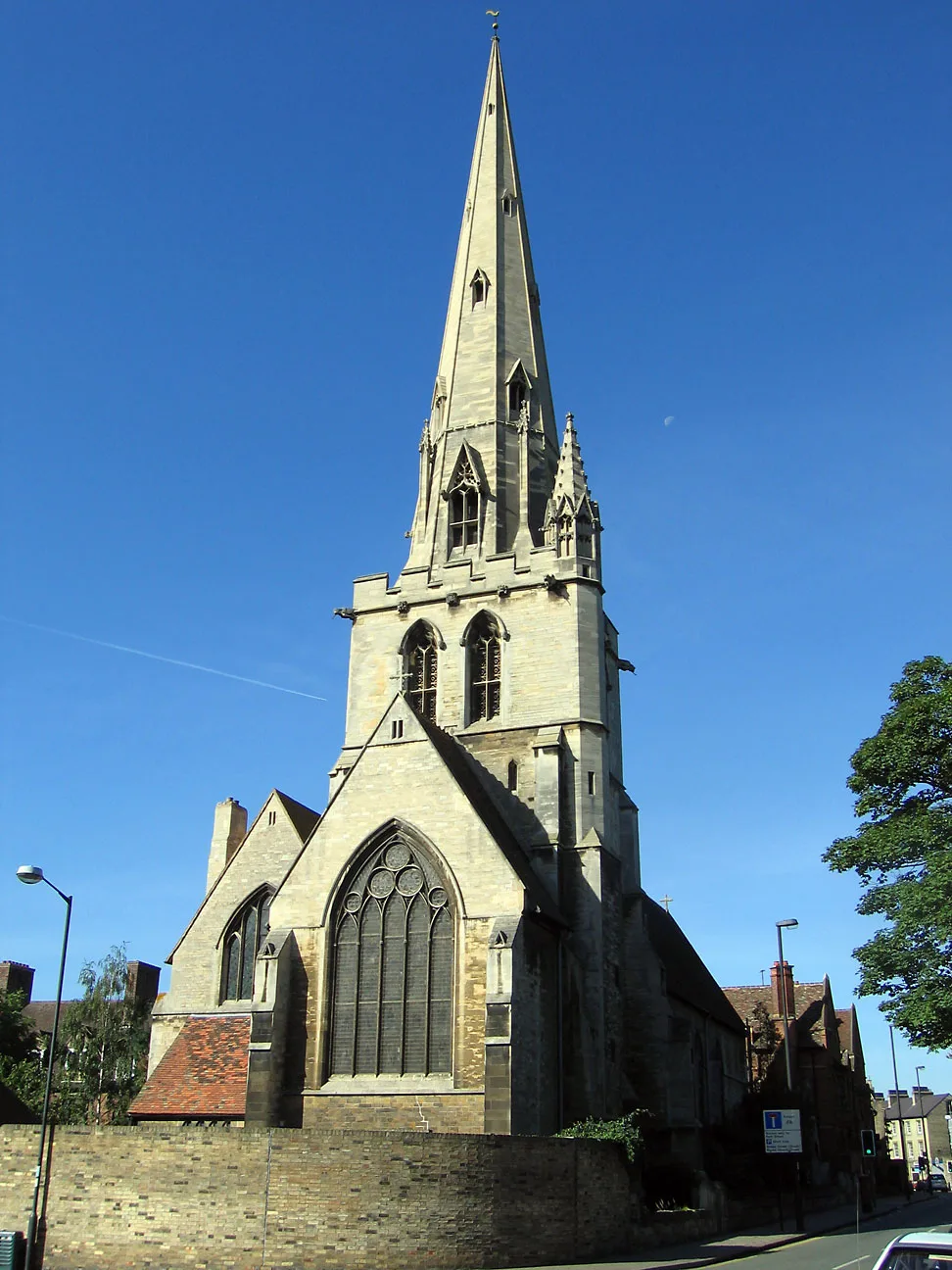
📷 5Historic churches · London
All Saints Church
All Saints Church — church on Jesus Lane in central Cambridge, England.
 📷 5
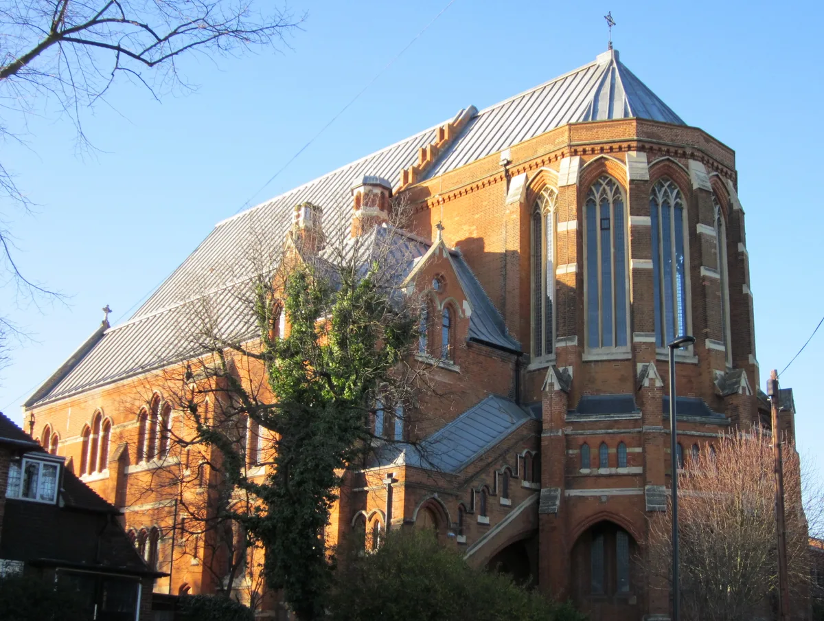
📷 5Historic churches · London
All Saints Church, West Dulwich
All Saints Church, West Dulwich — church in West Dulwich, London.
 📷 5
📷 5Historic churches · London
Christ Church
Christ Church — church in Hampstead, London.
 📷 5
📷 5Historic churches · London
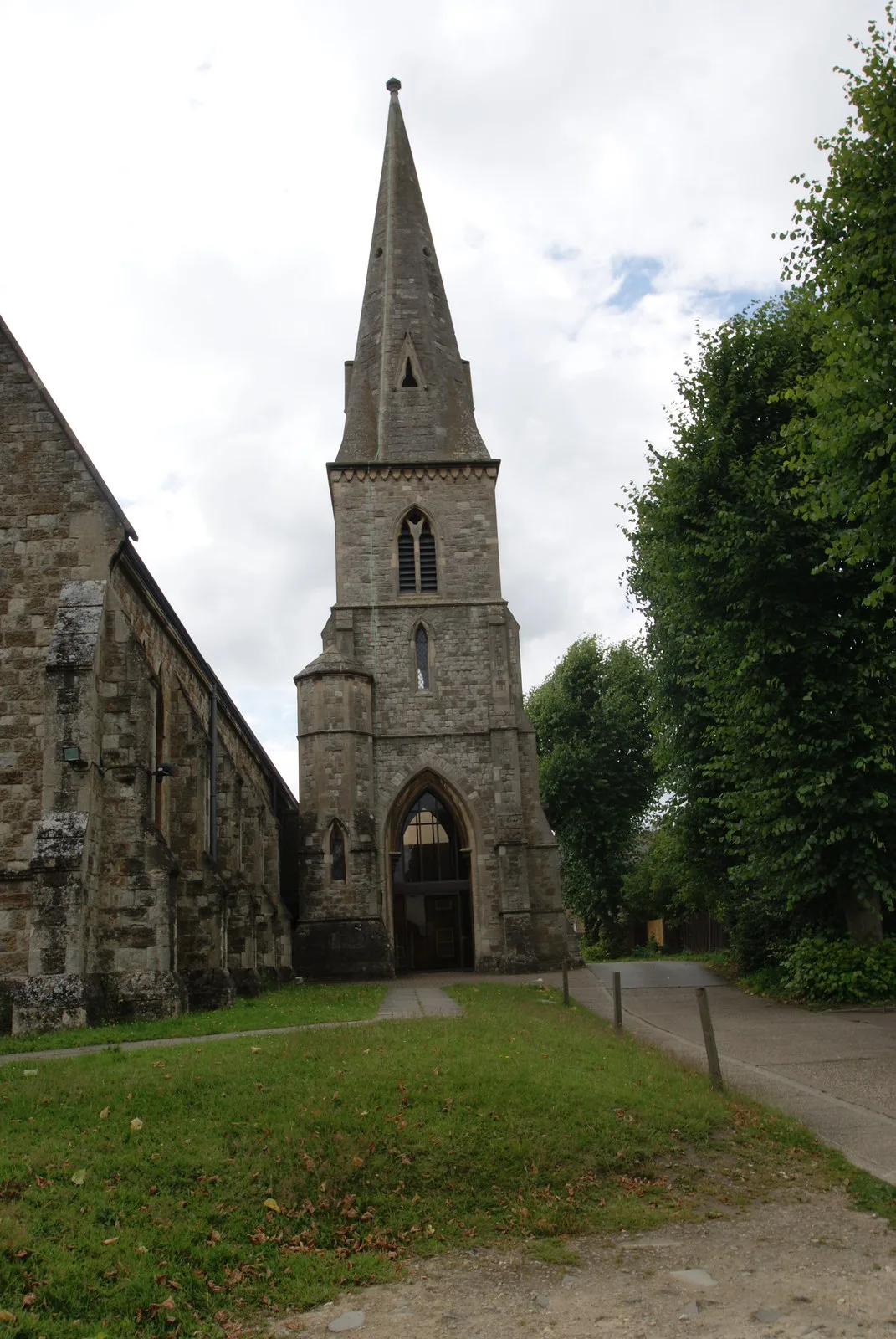
Christ Church Ware
Christ Church Ware — church in Ware, Hertfordshire, England, UK.
More places in this region
 📷 5
📷 5Historic churches · Northern Ireland
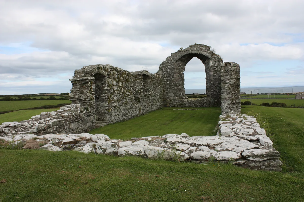
Ardtole Church
Ardtole Church — ruined church in County Down, Northern Ireland.
 📷 3
📷 3Historic churches · Northern Ireland
Ballylinney Presbyterian Church
Ballylinney Presbyterian Church — church building in United Kingdom.
 📷 3
📷 3Historic churches · Northern Ireland
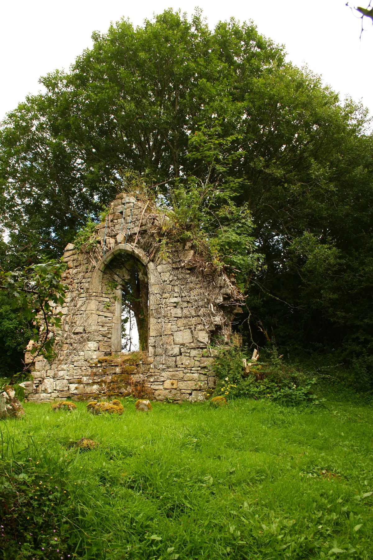
Carrick Church
Carrick Church — ruinous church in Fermanagh, Northern Ireland.
 📷 3
📷 3Historic churches · Northern Ireland
Drumcree Church
Drumcree Church — church building in Portadown, County Armagh, Northern Ireland.
Frequently asked questions
- Where is St. Thomas' Church?
- St. Thomas' Church is in Northern Ireland, United Kingdom (postcode BT9 6DX).
- When was St. Thomas' Church built?
- Built or established in 1869.
- Is St. Thomas' Church a listed building?
- St. Thomas' Church is officially recognised as Grade B+ listed building listed.
- Is St. Thomas' Church free to visit?
- Yes, St. Thomas' Church is free to enter.
- How do I get to St. Thomas' Church?
- The nearest railway station is Adelaide, about 0.7 km away. Drivers can navigate to postcode BT9 6DX.