
Historic houses · South East England
St Mary's Hospital
In or near Carisbrooke.
St Mary's Hospital — a Grade II*-listed historic house in england-south-east, United Kingdom.

Roger Cornfoot — CC BY-SA 2.0 via Wikimedia Commons licence

Plan your visit
- Typical visit
- 1 h–2 h
- Nearest railway station
- Wootton · 4.4 km
- Family-friendly
- Limited wheelchair access
Getting there & planning your visit
St Mary's Hospital is located in the Isle of Wight, postcode PO30 5TG, and the nearest railway station is Wootton, approximately 4.4 km away. Entry details are not specified, and wheelchair accessibility is limited.
About
St Mary's Hospital is a Grade II*-listed building in england-south-east, United Kingdom. Grade II* status is conferred by Historic England (or Cadw, Historic Environment Scotland or NIEA equivalents) on buildings of exceptional national interest. See the linked Wikipedia article for full historical and architectural details.
Photo gallery
See it from the streetimagery from 2019
Imagery © Mapillary contributors, CC BY-SA 4.0
Protected designations
- Area of Outstanding Natural Beauty: Isle Of Wight
Designations sourced from Natural England open data under OGL v3.
From the Wikipedia article
St Mary's Hospital is a hospital located on the outskirts of Newport on the Isle of Wight. It is run by the Isle of Wight NHS Trust.
Excerpt from Wikipedia under CC BY-SA 4.0. See the source article linked in Sources below.
Background
History
The hospital was designed by Ahrends, Burton and Koralek following a study into low-energy hospitals commissioned by the Department of Health and Social Security in 1981. It was completed in 1990 and formally opened in 1991. An archaeological investigation was carried out on the site in 2009 but found no features or artifacts of archaeological interest. St Mary's is also the site of a sculpture named Land Sea Light Koan, often shortened to 'the Koan'. The sculpture, which was created by Liliane Lijn and commissioned by the Isle of Wight Health Authority, was installed in 1997. A new Medical Assessment Unit with 24 beds and space for 6 ambulant patients opened in August 2015. In August 2022…
Sourced from Wikipedia under CC BY-SA 4.0.
- Coordinates
- 50.7106, -1.3012
- District
- Isle of Wight
- Parish
- Newport and Carisbrooke
- Postcode
- PO30 5TG
- Parliamentary constituency
- Isle of Wight West
- Established
- 1990
- Nearest railway station
- Wootton — 4.4 km
Sources
- wikidata: Q7594496 (CC0)
- wikipedia: St Mary's Hospital, Isle of Wight (CC BY-SA 4.0)
Other places nearby
The Koan
Public art & sculpture · 0.1 km

War Memorial to Prison Officers of Camp Hill Prison
Memorials & monuments · 0.8 km

The Viaduct
Public art & sculpture · 1.0 km

The Seat
Public art & sculpture · 1.0 km
History Book
Public art & sculpture · 1.0 km

Red Squirrel Trail: Parkhurst Forest
Mountain bike trails · 1.0 km
Food Chain
Public art & sculpture · 1.0 km
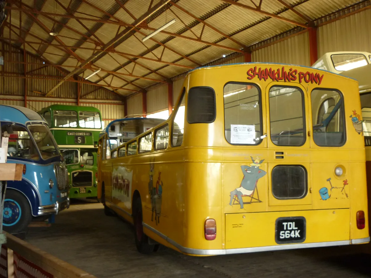
Isle of Wight Bus & Coach Museum
Museums · 1.0 km

Isle of Wight Festival Site (June)
Islands · 1.1 km
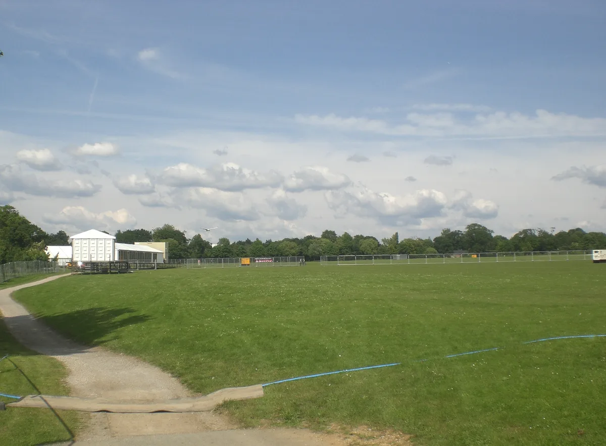
Seaclose Park
Parks · 1.1 km

Riverside Paddock
Caravan parks · 1.1 km

Newport Cemetery
Cemeteries · 1.1 km
Nearby
📷 5Public art & sculpture · South East England
The Koan
The Koan — a public art in england-south-east, United Kingdom.
Memorials & monuments · South East England
War Memorial to Prison Officers of Camp Hill Prison
War Memorial to Prison Officers of Camp Hill Prison — Grade II listed building-listed memorial in england-south-east, United Kingdom.
📷 5Public art & sculpture · South East England
The Viaduct
The Viaduct — a public art in england-south-east, United Kingdom.
📷 5Public art & sculpture · South East England
The Seat
The Seat — a public art in england-south-east, United Kingdom.
📷 5Public art & sculpture · South East England
History Book
History Book — a public art in england-south-east, United Kingdom.
📷 3Mountain bike trails · South East England
Red Squirrel Trail: Parkhurst Forest
Red Squirrel Trail: Parkhurst Forest — a mtb trail in england south east.
Where to eat & stay near St Mary's Hospital
Places to stay
📷 5Caravan parks · South East England
Riverside Paddock
Riverside Paddock — a caravan park in england south east.
 📷 7
📷 7Hotels · South East England
Calverts Hotel
Calverts Hotel — a hotel in england south east.
 📷 5
📷 5 📷 5
📷 5Campsites · South East England
Windmill Campersite
Windmill Campersite — a campsite in england south east.
 📷 5
📷 5Caravan parks · South East England
Rodgebrook Farm
Rodgebrook Farm — a caravan park in england south east.
 📷 4
📷 4Caravan parks · South East England
Comforts Farm (Caravan Park)
Comforts Farm (Caravan Park) — a caravan park in england south east.
Places to eat & drink
 📷 5📷 5
 📷 5
📷 5Historic pubs · South East England
The Cranbourne Arms Public House
The Cranbourne Arms Public House in England South East, United Kingdom.
 📷 7
📷 7Historic pubs · South East England
The Eight Bells
The Eight Bells in England South East, United Kingdom.
 📷 6
📷 6Restaurants · South East England
Cowes Tandoori
Cowes Tandoori — a restaurant in england south east.
 📷 5
📷 5Restaurants · South East England
Call It What You Want
Call It What You Want — a restaurant in england south east. Cuisine: american;barbecue.
More historic houses in this region
 📷 5
📷 5Historic houses · South East England
12 and 14 High Street, Rochester
12 and 14 High Street, Rochester — building in Rochester, Kent, England, UK.
 📷 5
📷 5Historic houses · South East England
Berkeley House
Berkeley House — house in Rochester, Kent, England, UK.
.jpg?width=1200) 📷 5
📷 5Historic houses · South East England
Betchworth House
Betchworth House — house in Betchworth, Mole Valley, England, UK.
 📷 5
📷 5Historic houses · South East England
Bookham Grove
Bookham Grove — building in Mole Valley, Surrey, England, UK.
Frequently asked questions
- Where is St Mary's Hospital?
- St Mary's Hospital is in South-East England, United Kingdom (postcode PO30 5TG), in the parish of Newport and Carisbrooke.
- What is St Mary's Hospital?
- St Mary's Hospital — a Grade II*-listed historic house in england-south-east, United Kingdom.
- How do I get to St Mary's Hospital?
- The nearest railway station is Wootton, about 4.4 km away. Drivers can use postcode PO30 5TG.
- When was St Mary's Hospital built?
- Built or established in 1990.
- Is St Mary's Hospital a listed building?
- St Mary's Hospital is officially recognised as Grade II* listed.
- Is St Mary's Hospital a protected site?
- Yes — St Mary's Hospital is part of the Isle Of Wight National Landscape (AONB).
- How do I get to St Mary's Hospital?
- The nearest railway station is Wootton, about 4.4 km away. Drivers can navigate to postcode PO30 5TG.