
Historic churches · South East England
St. Mary's Church, Bentworth
In or near Beech.
St. Mary's Church, Bentworth — Grade II* listed building-listed church in england-south-east, United Kingdom.

Fernweh — CC BY-SA 2.0 via Wikimedia Commons licence

Plan your visit
- Typical visit
- 30 min–1 h
- Nearest railway station
- Medstead and Four Marks · 5.0 km
- Free entry
Getting there & planning your visit
St. Mary's Church in Bentworth is located at postcode GU34 5RE. The nearest railway station is Medstead and Four Marks, which is 5 km away. Entry to the church is free.
About
St. Mary's Church, Bentworth is a Grade II* listed building-listed church in england-south-east, United Kingdom, registered on the National Heritage List for England (NHLE entry 1094149). Listed status protects buildings and structures of special architectural or historic interest. See the linked Wikipedia article for further details.
Photo gallery
Heritage listing
St Mary's Church is an Anglican church situated in the centre of the village of Bentworth, within the East Hampshire district of Hampshire, England. The church lies immediately east of Bentworth's primary school and north-east of the Star Inn on the main road through the village. Parts of the church date from the 11th century and it is a Grade II* listed building.
From the Historic England List Entry under OGL v3.
From the Wikipedia article
St Mary's Church is an Anglican church situated in the centre of the village of Bentworth, within the East Hampshire district of Hampshire, England. The church lies immediately east of Bentworth's primary school and north-east of the Star Inn on the main road through the village. Parts of the church date from the 11th century and it is a Grade II* listed building.
Excerpt from Wikipedia under CC BY-SA 4.0. See the source article linked in Sources below.
Background
History
There is evidence to suggest that a Saxon church was located here and was rebuilt. The present church has a chancel (the space around the altar for the clergy and choir) that is 27 ft by 17 ft, with a north vestry 48 ft by 17 ft. The nave roof and chancel arch probably date from the late 12th century and the chancel itself was built in about 1260 together with the lower part of the tower. However, in 1608 the church suffered a "fire happening by lightning from heaven" and some of the earlier structure was damaged. The present church has flint walls with stone dressings and stepped buttresses, a plinth, and corbelled tracer lights in the nave. The west tower was rebuilt in 1890 and has…
Sourced from Wikipedia under CC BY-SA 4.0.
- Coordinates
- 51.1580, -1.0499
- County
- Hampshire
- District
- East Hampshire
- Parish
- Bentworth
- Postcode
- GU34 5RE
- Parliamentary constituency
- East Hampshire
- Nearest railway station
- Medstead and Four Marks — 5 km
Sources
- wikidata: Q17532948 (CC0)
- wikipedia: St Mary's Church, Bentworth (CC BY-SA 4.0)
Other places nearby
Bentworth War Memoiral
Memorials & monuments · 0.0 km

Men Of Bentworth War Memorial
Memorials & monuments · 0.0 km

Hankin Family Tomb
Follies · 0.0 km

The Moon Inn (site of)
Archaeological sites · 0.2 km
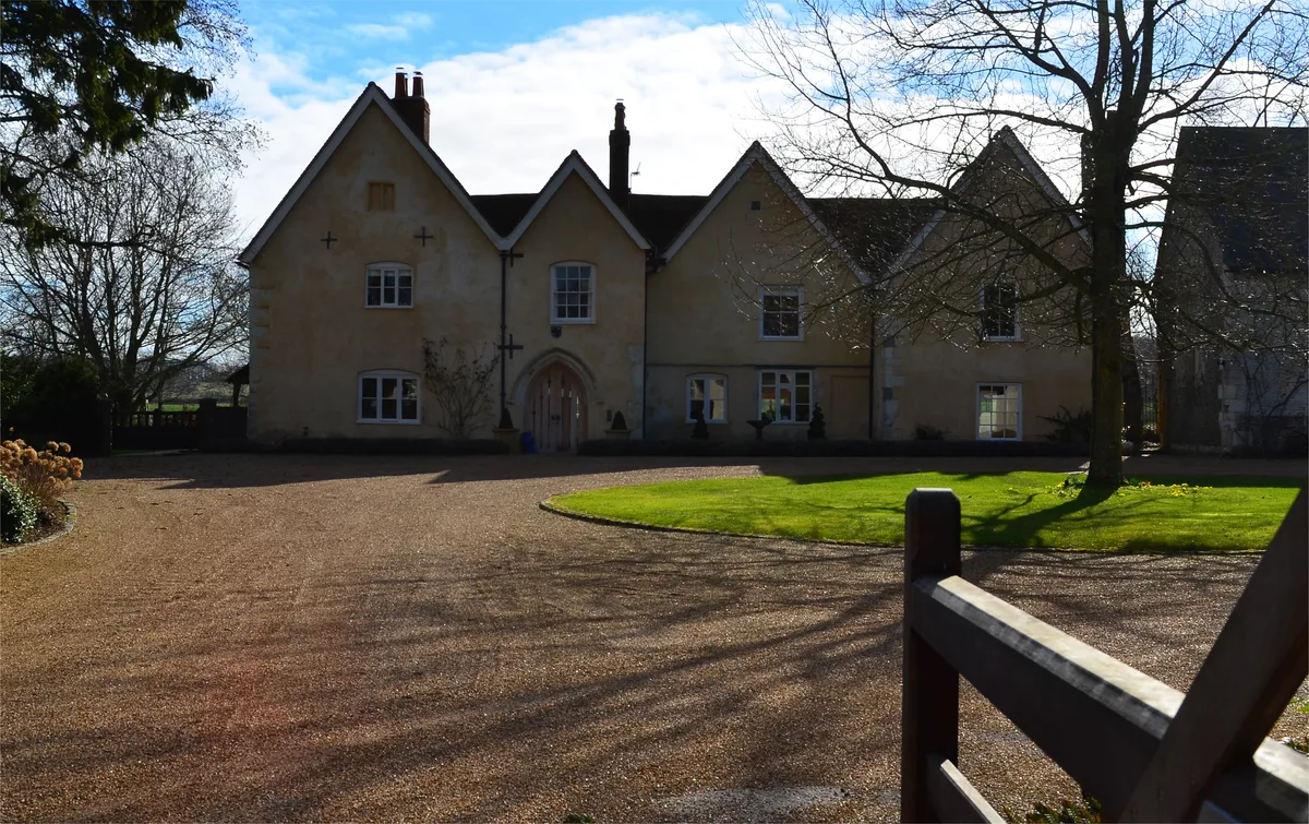
Hall Place
Stately homes · 0.4 km

La Aule
Archaeological sites · 0.4 km

Deacon Hill
Mountains & hills · 1.0 km

Browning's Hill
Mountains & hills · 1.1 km
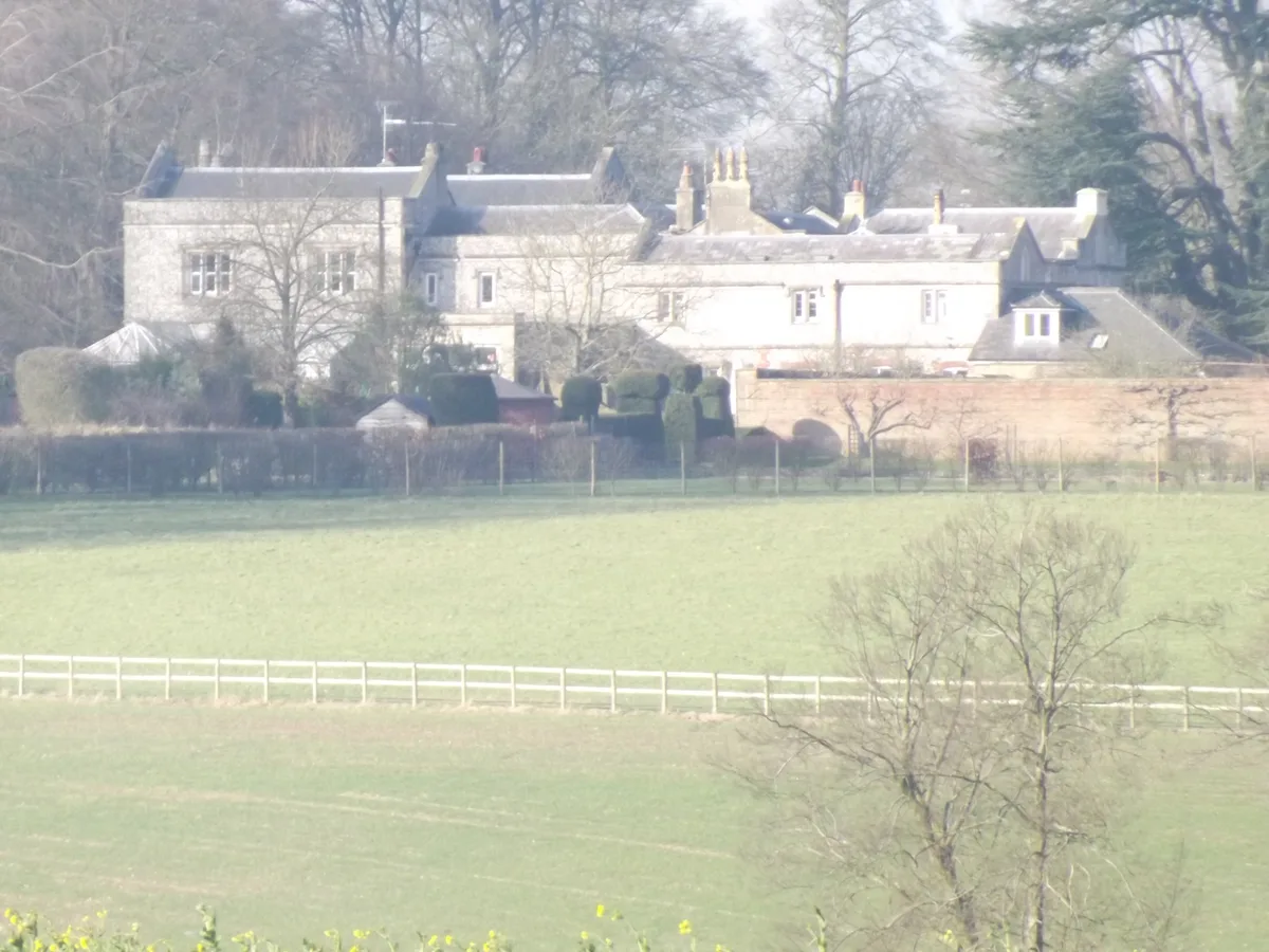
Bentworth Hall
Stately homes · 1.1 km

Rushmoor Hill
Mountains & hills · 1.7 km

Bentworth Lodge
Manor houses · 1.8 km

Gaston Grange
Gardens · 1.9 km
Nearby
📷 5Memorials & monuments · South East England
Bentworth War Memoiral
Bentworth War Memoiral — a memorial in england-south-east, United Kingdom.
📷 5Memorials & monuments · South East England
Men Of Bentworth War Memorial
Men Of Bentworth War Memorial — Grade II listed building-listed memorial in england-south-east, United Kingdom.
📷 5Follies · South East England
Hankin Family Tomb
Hankin Family Tomb is a folly in the United Kingdom.
📷 5Archaeological sites · South East England
The Moon Inn (site of)
The Moon Inn (site of) — a archaeological in england-south-east, United Kingdom.
📷 5Stately homes · South East England
Hall Place
Hall Place — house in Bentworth, Hampshire, England, UK.
📷 5Archaeological sites · South East England
La Aule
La Aule — a archaeological in england-south-east, United Kingdom.
Where to eat & stay near St. Mary's Church, Bentworth
Places to stay
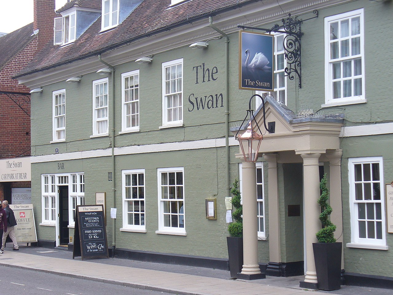 📷 5
📷 5 📷 7
📷 7 📷 7
📷 7Hotels · South East England
Alton House Hotel
Alton House Hotel — a hotel in england south east.
 📷 5
📷 5 📷 5
📷 5Campsites · South East England
Watercress Lodges and Campsite
Watercress Lodges and Campsite — a campsite in england south east.
 📷 7
📷 7Places to eat & drink
 📷 5
📷 5 📷 5
📷 5Historic pubs · South East England
The 'Eight Bells' Public House
The 'Eight Bells' Public House in England South East, United Kingdom.
 📷 6
📷 6 📷 7
📷 7Historic pubs · South East England
The Purefoy Arms Public House
The Purefoy Arms Public House in England South East, United Kingdom.
 📷 6
📷 6Historic pubs · South East England
Three Horseshoes Public House
Three Horseshoes Public House in England South East, United Kingdom.
 📷 5
📷 5Historic pubs · South East England
Hen And Chicken Public House
Hen And Chicken Public House in England South East, United Kingdom.
More places in this region
 📷 5
📷 5Historic churches · South East England
All Saints Church, Frindsbury
All Saints Church, Frindsbury — church in Medway, UK.
 📷 5
📷 5Historic churches · South East England
All Saints Church, Maidstone
All Saints Church, Maidstone — parish church associated with the Archbishop's Palace, Maidstone, Kent, England, UK.
 📷 5
📷 5Historic churches · South East England
All Saints Church, West Farleigh
All Saints Church, West Farleigh — Grade I listed church in West Farleigh, Maidstone, Kent, England, UK.
 📷 5
📷 5Historic churches · South East England
All Souls' Church, Sutton Green
All Souls' Church, Sutton Green — church in Guildford, England.
Frequently asked questions
- Where is St. Mary's Church, Bentworth?
- St. Mary's Church, Bentworth is in Hampshire, South-East England, United Kingdom (postcode GU34 5RE), in the parish of Bentworth.
- What is St. Mary's Church, Bentworth?
- St. Mary's Church, Bentworth — Grade II* listed building-listed church in england-south-east, United Kingdom.
- How do I get to St. Mary's Church, Bentworth?
- The nearest railway station is Medstead and Four Marks, about 5.0 km away. Drivers can use postcode GU34 5RE.
- Is St. Mary's Church, Bentworth a listed building?
- St. Mary's Church, Bentworth is officially recognised as Grade II* listed building listed.
- Is St. Mary's Church, Bentworth free to visit?
- Yes, St. Mary's Church, Bentworth is free to enter.
- How do I get to St. Mary's Church, Bentworth?
- The nearest railway station is Medstead and Four Marks, about 5.0 km away. Drivers can navigate to postcode GU34 5RE.