Historic churches · London
St. Mary Magdalen, Milk Street
St. Mary Magdalen, Milk Street — church in City of London, UK.

Wikimedia Commons contributors — see linked file page for photographer and licence licence
Plan your visit
- Typical visit
- 30 min–1 h
- Nearest railway station
- Mansion House · 0.2 km
- Free entry
- Family-friendly
- Wheelchair accessible
About
St. Mary Magdalen, Milk Street is a historic church in the United Kingdom. Wikidata describes it as: "church in City of London, UK". Coordinates: 51.5136°, -0.0931°.
Photo gallery
From the Wikipedia article
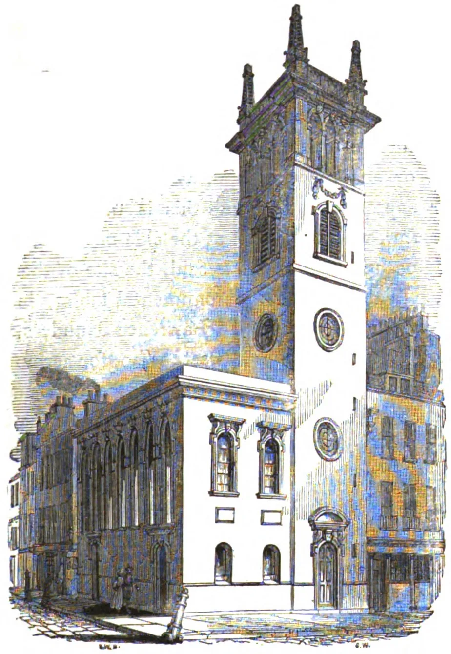
St Mary Magdalen, Milk Street, was a parish church in the City of London, England, dedicated to Jesus' companion Mary Magdalene. Originally constructed in the 12th century, it was destroyed in the Great Fire of London in 1666 and not rebuilt. The location was converted into a market, then from 1835 to 1879 was the site of the City of London School.
Excerpt from Wikipedia under CC BY-SA 4.0. See the source article linked in Sources below.
Background
History
]] The earliest mention of "St. Mary Magdalene in foro Londoniarum" was in 1162, and it is recorded as "St. Mary Magdalene, Milk Street" in a document dating from between 1203 and 1215. Writing in 1603, Stow notes it was a small church that had recently been repaired, while it was further updated in 1619 and 1630. The church was a Presbyterian stronghold in the years before the Wars of the Three Kingdoms. In 1643 Thomas Case became the first London clergyman to host Morning Exercises, a special service set aside to pray for those fighting in the Parliamentarian army. Like many Presbyterians, Case objected to the execution of Charles I in January 1649 and was deprived of his position in…
Sourced from Wikipedia under CC BY-SA 4.0.
- Coordinates
- 51.5136, -0.0931
- District
- City of London
- Parish
- City of London, unparished area
- Postcode
- EC2V 6JP
- Parliamentary constituency
- Cities of London and Westminster
- Phone
- +44 20 7248 5139
- Nearest railway station
- Mansion House — 0.2 km
- Opening
- We 07:30-18:00; Th 07:30-18:30; Fr 07:30-16:00
- Official site
- www.stmarylebow.co.uk
Sources
- wikidata: Q7590497 (CC0)
- wikipedia: St Mary Magdalen, Milk Street (CC BY-SA 4.0)
- commons: Wood Street City of London.jpg (CC BY-SA 4.0)
Other places nearby
Loading nearby places…
Nearby
 📷 5
📷 5Historic churches · London
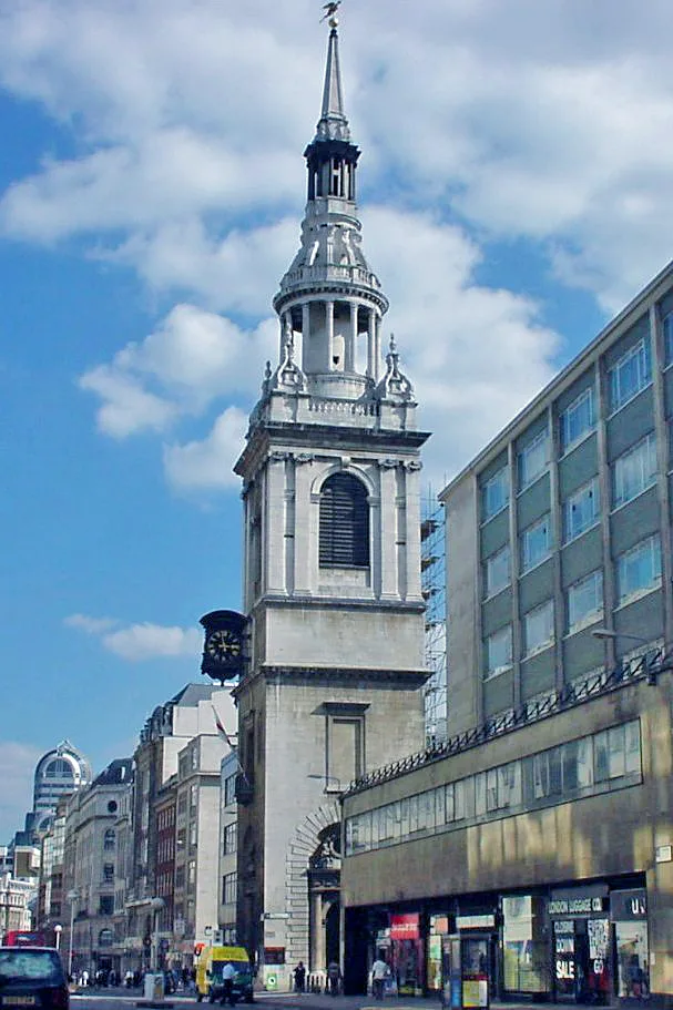
St Mary-le-Bow
St Mary-le-Bow — church building in City of London, London, England, UK.
 📷 5
📷 5Cathedrals · London
Captain John Smith
Captain John Smith — Public artwork (statue).
 📷 5
📷 5Memorials & monuments · London
London Salvage Corps
London Salvage Corps — a memorial in england-london, United Kingdom.
 📷 5
📷 5Public art & sculpture · London
Saint Thomas Becket
Saint Thomas Becket in England London, United Kingdom.
 📷 5
📷 5Memorials & monuments · London
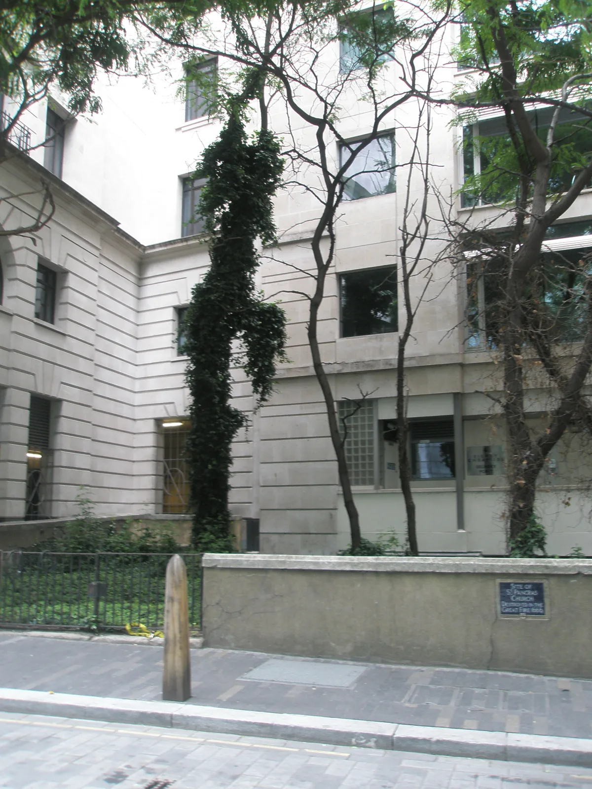
Site of St Pancras Church
Site of St Pancras Church — a memorial in england-london, United Kingdom.
 📷 5
📷 5Historic churches · London
St Pancras, Soper Lane
St Pancras, Soper Lane — church in City of London, UK.
More places in this region
 📷 5
📷 5Historic churches · London
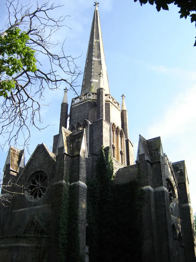
Abney Park Chapel
Abney Park Chapel — grade II listed church in the London Borough of Hackney, England,UK.
 📷 5
📷 5Historic churches · London
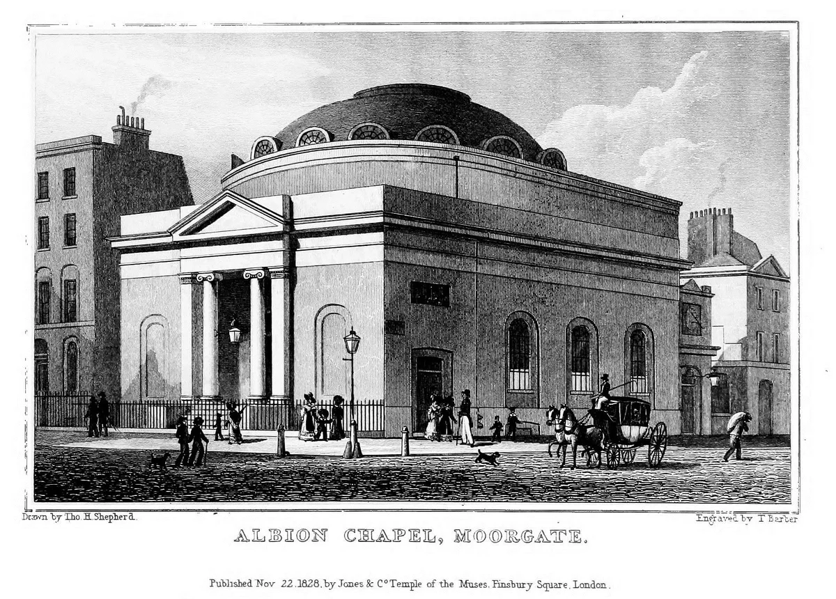
Albion Chapel
Albion Chapel — church in London, UK.
 📷 5
📷 5Historic churches · London
All Hallows Bread Street
All Hallows Bread Street — church in City of London, UK.
 📷 5
📷 5Historic churches · London
All Hallows Honey Lane
All Hallows Honey Lane — church in City of London, UK.
Frequently asked questions
- Where is St. Mary Magdalen, Milk Street?
- St. Mary Magdalen, Milk Street is in London, United Kingdom (postcode EC2V 6JP), in the parish of City of London, unparished area.
- Is St. Mary Magdalen, Milk Street free to visit?
- Yes, St. Mary Magdalen, Milk Street is free to enter.
- How do I get to St. Mary Magdalen, Milk Street?
- The nearest railway station is Mansion House, about 0.2 km away. Drivers can navigate to postcode EC2V 6JP.