
Historic churches · South East England
St Luke's Church, Silverhill
In or near Guestling.
St Luke's Church, Silverhill — church in United Kingdom.

Wikimedia Commons contributors — see linked file page for photographer and licence licence
.jpg)
Plan your visit
- Typical visit
- 30 min–1 h
- Nearest railway station
- St Leonards Warrior Square · 1.5 km
- Free entry
Getting there & planning your visit
St Luke's Church is located in Hastings, East Sussex, with the postcode TN37 7DS. The nearest railway station is St Leonards Warrior Square, which is 1.5 km away. Entry to the church is free.
About
St Luke's Church, Silverhill is a historic church in the United Kingdom. Records date its origin to 1857. Wikidata describes it as: "church in United Kingdom". Coordinates: 50.8695°, 0.5572°.
Photo gallery
See it from the streetimagery from 2022
Imagery © Mapillary contributors, CC BY-SA 4.0
Protected designations
- Area of Outstanding Natural Beauty: High Weald
Designations sourced from Natural England open data under OGL v3.
From the Wikipedia article
St Luke's Church is a United Reformed church in the Silverhill suburb of Hastings, a town and borough in East Sussex, England. The congregation was originally independent (not linked to any Christian denomination) before taking up Presbyterianism, and worshipped in a private house from its founding in 1853 until a permanent church was provided in 1857; this was one of the oldest Presbyterian places of worship in southeast England. The growth of the community has resulted in several extensions since then, and severe damage caused by the Great Storm of 1987 was quickly repaired—except for the loss of the building's distinctive spire. The church, along with most other Presbyterian congregations, joined the United Reformed Church when that denomination was formed in 1972. It is one of four United Reformed Churches in the borough of Hastings.
Excerpt from Wikipedia under CC BY-SA 4.0. See the source article linked in Sources below.
Background
History
The manor of Stone was one of several medieval land divisions in the area now covered by Hastings. Its land covered a large, thinly populated area northwest of the ancient fishing port of Hastings. Ecclesiastically, it was a prebend linked to the collegiate church of St Mary-in-the-Castle in the grounds of Hastings Castle. Much of the land in the manor was part of a single farm. Originally named Cildetona (farm of the heirs or children), the name became modernised to Childerton and later Chillington Farm, before being recorded as High Ridge Farm in 1714 (around the time it was bought by the Town Clerk of Hastings), Salver Hill Farm in 1785 and Silver Hill Farm before 1815. Around this time,…
Architecture
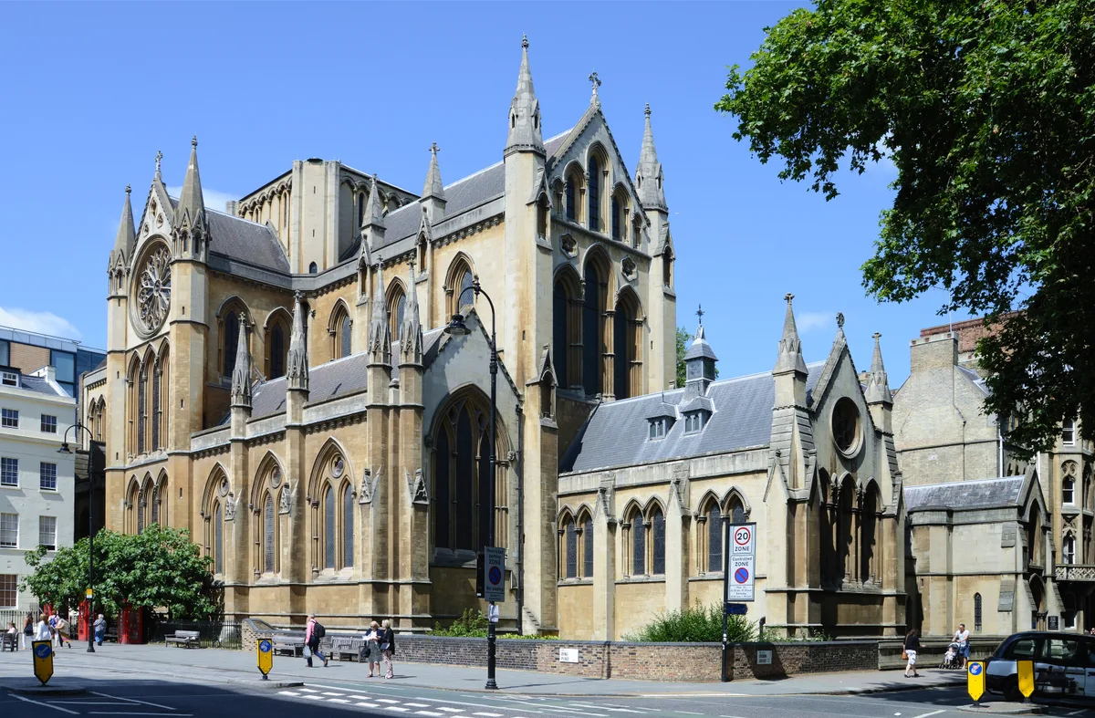
Henry Carpenter's chapel has been added to several times since its construction in 1857, but still retains its Early English Gothic appearance. The windows are mostly lancets; some have stained glass.
Description
As of 2010, St Luke's Church was one of four United Reformed churches in the borough of Hastings. The others were St Mark's Church at Blacklands, Clive Vale United Reformed Church in the Clive Vale area and Robertson Street United Reformed Church in Hastings town centre. All four were in the Southern Synod, one of 13 Synods in Great Britain, which is responsible for United Reformed churches in South London and the counties of Kent, East Sussex, West Sussex and Surrey in southeast England. When it joined the Presbyterian church in 1862, it became one of the first such churches in southeast England. It has been known since then as St Luke's United Reformed Church. The church is licensed for…
Sourced from Wikipedia under CC BY-SA 4.0.
- Coordinates
- 50.8695, 0.5572
- County
- East Sussex
- District
- Hastings
- Parish
- Hastings, unparished area
- Postcode
- TN37 7DS
- Parliamentary constituency
- Hastings and Rye
- Established
- 1857
- Nearest railway station
- St Leonards Warrior Square — 1.5 km
Sources
- wikidata: Q7594055 (CC0)
- wikipedia: St Luke's United Reformed Church, Silverhill, Hastings (CC BY-SA 4.0)
- commons: St Luke's United Reformed Church, Silverhill, Hastings (Side View).jpg (CC BY-SA 4.0)
Other places nearby
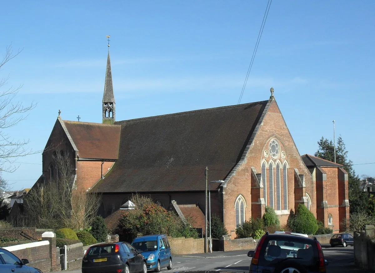
St Matthew's Church, Silverhill
Historic churches · 0.4 km

Bohemia Picture Theatre
Theatres · 0.7 km

Alexandra Park Miniature Railway
Miniature railways · 0.7 km
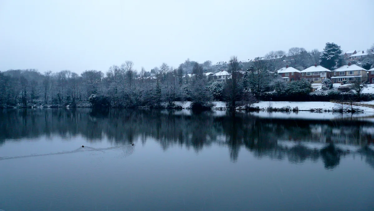
Alexandra Park
Parks · 0.7 km

Hollington
Villages · 0.9 km

Little Roar
Waterfalls · 1.0 km
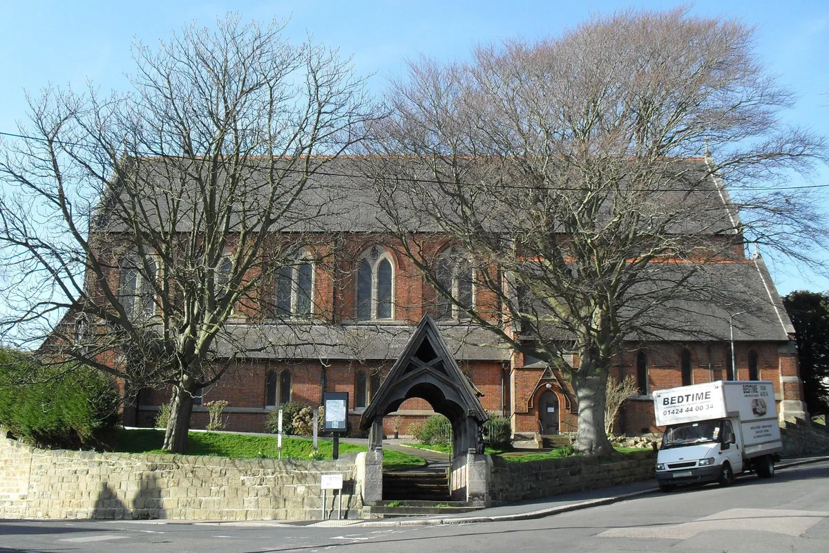
St Peter's Church, St Leonards-on-Sea
Historic churches · 1.0 km

Old Roar
Waterfalls · 1.2 km
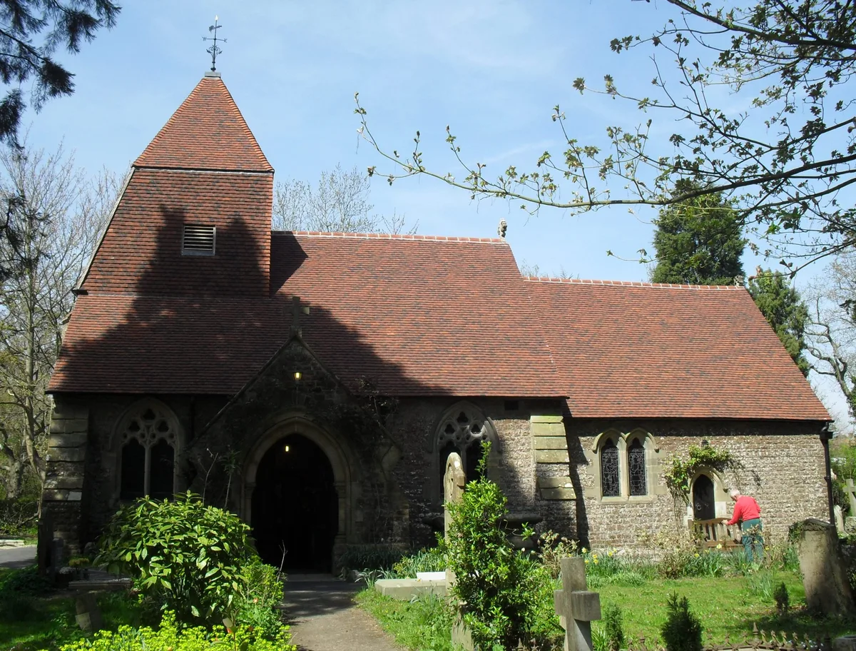
Church in the Wood
Historic churches · 1.4 km
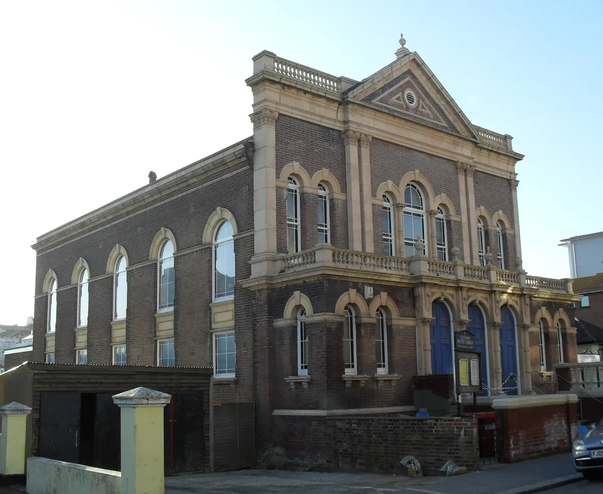
St Leonard's Baptist Church
Historic churches · 1.5 km

Roman Bath
Follies · 1.5 km
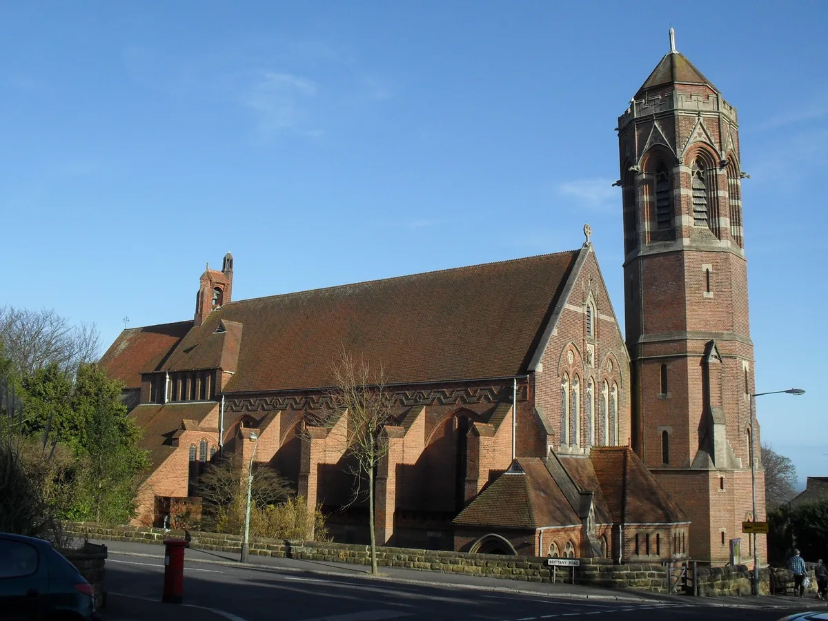
St John the Evangelist's Church, St Leonards-on-Sea
Historic churches · 1.5 km
Nearby
📷 5Historic churches · South East England
St Matthew's Church, Silverhill
St Matthew's Church, Silverhill — church in Hastings, East Sussex, England, UK.
📷 5Theatres · South East England
Bohemia Picture Theatre
Bohemia Picture Theatre in England South East, United Kingdom.
📷 5Miniature railways · South East England
Alexandra Park Miniature Railway
Alexandra Park Miniature Railway — a miniature railway in england-south-east, United Kingdom.
Flagship📷 10Parks · South East England
Alexandra Park
Alexandra Park — public park in Hastings, East Sussex, England, UK.
📷 5📷 5Where to eat & stay near St Luke's Church, Silverhill
Places to stay
 📷 5
📷 5Hotels · South East England
The Highlands Inn
The Highlands Inn — a hotel in england south east.
 📷 5
📷 5Campsites · South East England
Combe Haven Holiday Park
Combe Haven Holiday Park — a campsite in england south east.
 📷 5
📷 5 📷 5
📷 5 📷 5
📷 5Campsites · South East England
Rocklands Holiday Park
Rocklands Holiday Park — a campsite in england south east.
 📷 5
📷 5Campsites · South East England
Spindlewood Country Holiday Park
Spindlewood Country Holiday Park — a campsite in england south east.
Places to eat & drink
 📷 5
📷 5Historic pubs · South East England
The Havelock Public House
The Havelock Public House in England South East, United Kingdom.
 📷 6
📷 6Historic pubs · South East England
Hastings Arms Public House
Hastings Arms Public House in England South East, United Kingdom.
 📷 5
📷 5Historic pubs · South East England
Duke Of Wellington Public House
Duke Of Wellington Public House in England South East, United Kingdom.
 📷 7
📷 7Historic pubs · South East England
The Royal Standard Public House
The Royal Standard Public House in England South East, United Kingdom.
 📷 5
📷 5 📷 7
📷 7Historic pubs · South East England
The Hope Public House
The Hope Public House in England South East, United Kingdom.
Other places from this era
 📷 5
📷 5Historic churches · London
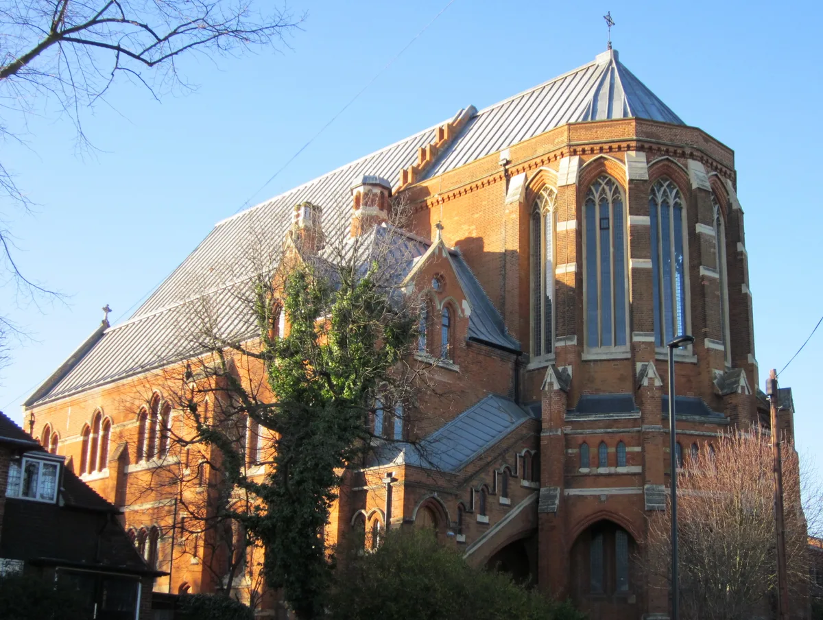
All Saints Church, West Dulwich
All Saints Church, West Dulwich — church in West Dulwich, London.
 📷 5
📷 5Historic churches · London
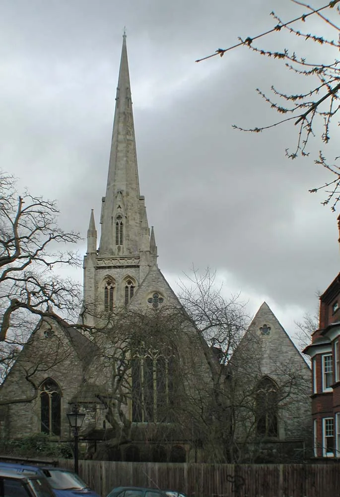
Christ Church
Christ Church — church in Hampstead, London.
 📷 5
📷 5Historic churches · London
Church of Christ the King, Bloomsbury
Church of Christ the King, Bloomsbury — church in Gordon Square, Bloomsbury, London.
 📷 5
📷 5Historic churches · London
Church of St Barnabas
Church of St Barnabas — church in Pimlico, London.
More places in this region
 📷 5
📷 5Historic churches · South East England
All Saints Church, Frindsbury
All Saints Church, Frindsbury — church in Medway, UK.
 📷 5
📷 5Historic churches · South East England
All Saints Church, Maidstone
All Saints Church, Maidstone — parish church associated with the Archbishop's Palace, Maidstone, Kent, England, UK.
 📷 5
📷 5Historic churches · South East England
All Saints Church, West Farleigh
All Saints Church, West Farleigh — Grade I listed church in West Farleigh, Maidstone, Kent, England, UK.
 📷 5
📷 5Historic churches · South East England
All Souls' Church, Sutton Green
All Souls' Church, Sutton Green — church in Guildford, England.
Frequently asked questions
- Where is St Luke's Church, Silverhill?
- St Luke's Church, Silverhill is in East Sussex, South-East England, United Kingdom (postcode TN37 7DS), in the parish of Hastings, unparished area.
- What is St Luke's Church, Silverhill?
- St Luke's Church, Silverhill — church in United Kingdom.
- How do I get to St Luke's Church, Silverhill?
- The nearest railway station is St Leonards Warrior Square, about 1.5 km away. The nearest town is Guestling. Drivers can use postcode TN37 7DS.
- When was St Luke's Church, Silverhill built?
- Built or established in 1857.
- Is St Luke's Church, Silverhill a protected site?
- Yes — St Luke's Church, Silverhill is part of the High Weald National Landscape (AONB).
- Is St Luke's Church, Silverhill free to visit?
- Yes, St Luke's Church, Silverhill is free to enter.
- How do I get to St Luke's Church, Silverhill?
- The nearest railway station is St Leonards Warrior Square, about 1.5 km away. Drivers can navigate to postcode TN37 7DS.