
Hill forts · South Wales
St Govan's Chapel
St Govan's Chapel — chapel in Pembrokeshire, Wales.

Wikimedia Commons contributors — see linked file page for photographer and licence licence

Plan your visit
- Typical visit
- 1 h–2 h
- Nearest railway station
- Pembroke · 8.5 km
- Free entry
- Dog-friendly
Getting there & planning your visit
To visit St Govan's Chapel, the nearest railway station is Pembroke, located 8.5 km away. The postcode for navigation is SA71 5DZ, and entry to the chapel is free.
About
St Govan's Chapel is a hill fort in the United Kingdom. Records date its origin to 1201. Constructed primarily of limestone. Heritage designation: Grade I listed building. Part of St Govan's Chapel and Well. Wikidata describes it as: "chapel in Pembrokeshire, Wales". Coordinates: 51.5987°, -4.9367°.
Photo gallery
See it from the streetimagery from 2022
Imagery © Mapillary contributors, CC BY-SA 4.0
Heritage listing
http://cadwpublic-api.azurewebsites.net/reports/listedbuilding/FullReport?lang=en&id=17980
From Cadw under OGL v3.
From the Wikipedia article
St Govan's Chapel is a chapel located at St Govan's Head, Pembrokeshire in south west Wales. Built into the side of a limestone cliff, the building measures 20 by 12 feet (6.1 m × 3.7 m) with walls constructed from limestone, and consists of two chambers, one in the front and one in the back. The majority of the chapel was built in the thirteenth century, although parts of it may date back further to the sixth century when Saint Govan, a monk, moved into a cave located on the site of the chapel. One legend suggests that Saint Govan is buried underneath the chapel's altar, located at the east end of the building. The entrance to the building is via a doorway on the north side, low stone benches run along the north and south walls and an empty bell-cote is located at the west end. The slate roof is suspected to be a modern addition compared to the rest of the building. The building is accessible from the clifftop by climbing down a set of 52 steps, although tourist organisations propagate the legend that when counted, the number of steps differs between going down and going back up. The building was listed with Grade I status on 8 February 1996. The chapel is within the Castlemartin Military Training Area and is sometimes inaccessible because of military activity. The chapel was used as a location in episodes 1–3 of the third series of the BBC drama His Dark Materials.
Excerpt from Wikipedia under CC BY-SA 4.0. See the source article linked in Sources below.
- Coordinates
- 51.5987, -4.9367
- District
- Pembrokeshire
- Parish
- Stackpole and Castlemartin
- Postcode
- SA71 5DZ
- Parliamentary constituency
- Mid and South Pembrokeshire
- Established
- 1201
- Nearest railway station
- Pembroke — 8.5 km
Sources
- wikidata: Q15979526 (CC0)
- wikipedia: St Govan's Chapel (CC BY-SA 4.0)
- commons: St Govans' chapel - geograph.org.uk - 876068.jpg (CC BY-SA 4.0)
Other places nearby
Huntsman's Leap
Natural landmarks · 0.5 km

New Quay
Beaches · 0.7 km

Saddle Head
Climbing & bouldering crags · 0.8 km

Buckspool Farm Campsite
Campsites · 1.1 km

Trefalen Farm
Campsites · 1.2 km

Buckspool Down Camp
Vineyards · 1.3 km
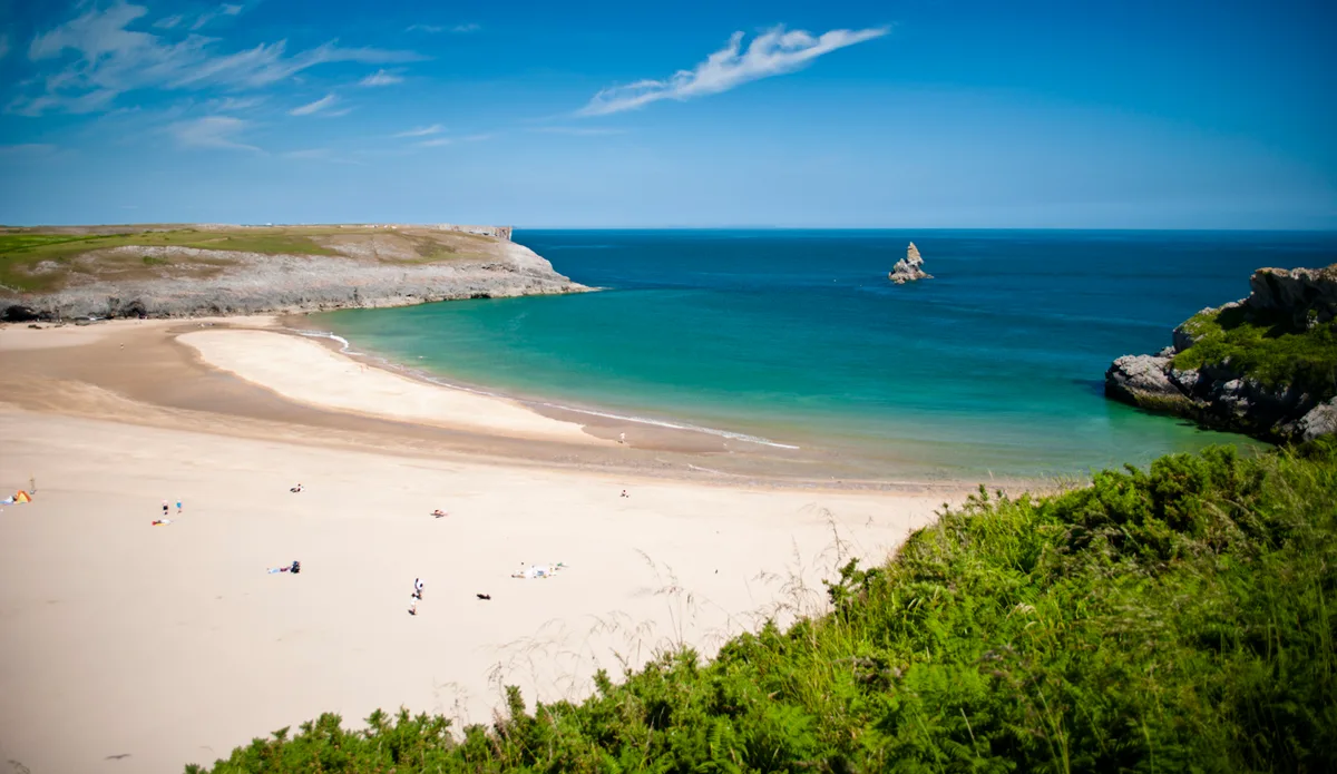
Broad Haven South
Beaches · 1.5 km
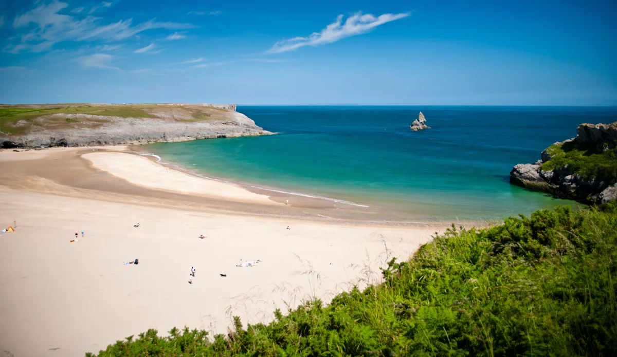
Broad Haven South
Beaches · 1.6 km

Dragons Rest
Campsites · 1.9 km

Llynnoedd Bosherston
Reservoirs & lochs · 1.9 km

Fishpond Camp
Vineyards · 1.9 km

Ancient Fort
Archaeological sites · 1.9 km
Nearby
📷 5📷 5📷 5📷 5📷 5Vineyards · South Wales
Buckspool Down Camp
Buckspool Down Camp — a UK vineyard in wales south, producing English or Welsh wine from cool-climate grape varieties.
Where to eat & stay near St Govan's Chapel
Places to stay
📷 5📷 5📷 5 📷 5
📷 5Campsites · South Wales
Stackpole Under The Stars
Stackpole Under The Stars — a campsite in wales south.
 📷 5
📷 5 📷 5
📷 5Places to eat & drink
 📷 5
📷 5 📷 7
📷 7 📷 7
📷 7Restaurants · South Wales
The Stone Crab
The Stone Crab — a restaurant in wales south.
 📷 5
📷 5 📷 3
📷 3 📷 7
📷 7Restaurants · South Wales
The Lost Coins
The Lost Coins — a restaurant in wales south.
Other places from this era
 📷 5
📷 5Hill forts · South East England
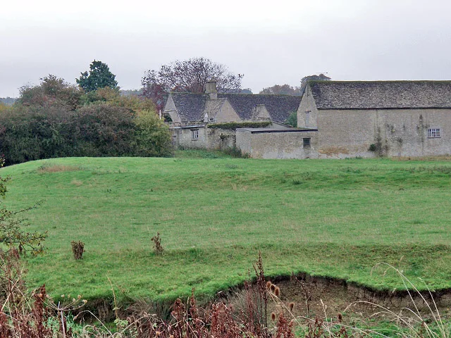
Ankerwycke Priory
Ankerwycke Priory — Benedictine nunnery with associated moat and fishponds.
 📷 5
📷 5Hill forts · South East England
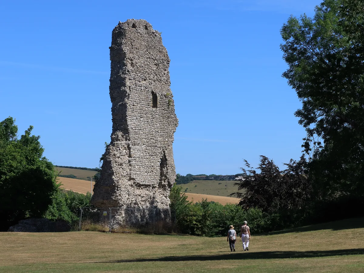
Bramber Castle
Bramber Castle — Norman castle in Bamber, West Sussex, England, UK.
 📷 3
📷 3Hill forts · South East England
Ascot d'Oilly Castle
Ascot d'Oilly Castle — castle in Oxfordshire, England, UK.
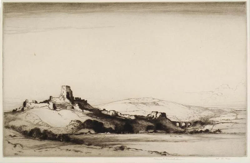 📷 5
📷 5Hill forts · South West England
Corfe Castle
Corfe Castle — fortification in Dorset, England, UK.
More places in this region
 📷 3
📷 3 📷 3
📷 3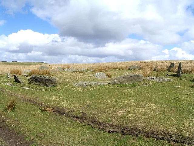 📷 3
📷 3Hill forts · South Wales
Carn Llechart
Carn Llechart — archaeological site in Neath Port Talbot County Borough, Wales, UK.
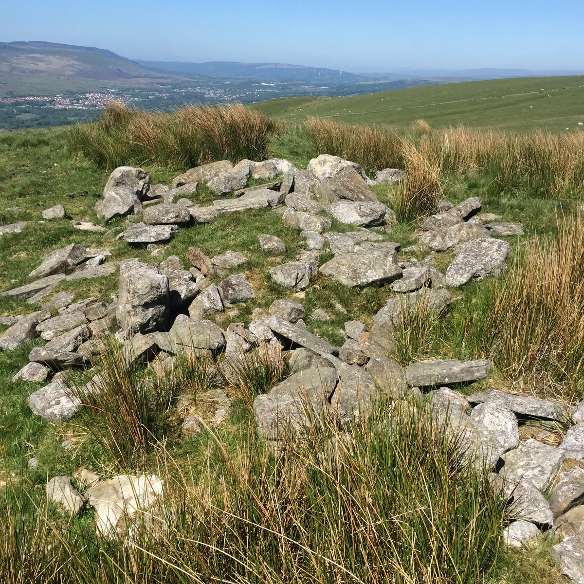 📷 3
📷 3Hill forts · South Wales
Carn Pentyle-Hir & Adjacent Round Cairn
Carn Pentyle-Hir & Adjacent Round Cairn — archaeological site in Rhondda Cynon Taf, Wales, UK.
Frequently asked questions
- Where is St Govan's Chapel?
- St Govan's Chapel is in South Wales, United Kingdom (postcode SA71 5DZ), in the parish of Stackpole and Castlemartin.
- What is St Govan's Chapel?
- St Govan's Chapel — chapel in Pembrokeshire, Wales.
- How do I get to St Govan's Chapel?
- The nearest railway station is Pembroke, about 8.5 km away. Drivers can use postcode SA71 5DZ.
- When was St Govan's Chapel built?
- Built or established in 1201.
- Is St Govan's Chapel a listed building?
- St Govan's Chapel is officially recognised as Grade I listed building listed.
- Is St Govan's Chapel free to visit?
- Yes, St Govan's Chapel is free to enter.
- How do I get to St Govan's Chapel?
- Drivers can navigate to postcode SA71 5DZ. It sits within the Mid and South Pembrokeshire parliamentary constituency.