
Historic churches · London
St Giles in the Fields, Holborn
In or near Covent Garden.
St Giles in the Fields, Holborn is a historic church in the United Kingdom.

Wikimedia Commons contributors — see linked file page for photographer and licence licence

Plan your visit
- Typical visit
- 30 min–1 h
- Nearest railway station
- Tottenham Court Road · 0.1 km
- Free entry
- Wheelchair accessible
Getting there & planning your visit
St Giles in the Fields is located in Holborn, London, with the nearest railway station being Tottenham Court Road, just 0.1 km away. Admission is free, and the site is wheelchair accessible. The postcode for sat-nav is WC2H 8LG.
About
St Giles in the Fields, Holborn is a historic church in the United Kingdom. Records date its origin to 1731. Designed by Henry Flitcroft. Built in the Palladian architecture style. Heritage designation: Grade I listed building. Affiliated with Anglicanism. Named after Giles. Coordinates: 51.5153°, -0.1286°.
Photo gallery
360° viewimagery from 2026
Imagery © Mapillary contributors, CC BY-SA 4.0
Heritage listing
St Giles-in-the-Fields is the Anglican parish church of the St Giles district of London. The parish stands within the London Borough of Camden and forms part of the Diocese of London. The church, named for St Giles the Hermit, began as the chapel of a 12th-century monastery and leper hospital in the fields between Westminster and the City of London and now gives its name to the surrounding urban district of St Giles in the West End of London, situated between Seven Dials, Bloomsbury, Holborn and Soho.
From the Historic England List Entry under OGL v3.
Official information
St Giles in the Fields is a historic church located in the heart of London's west end. It serves as a place of worship and community engagement, hosting various services and events throughout the week.
From the Wikipedia article
St Giles-in-the-Fields is the Anglican parish church of the St Giles district of London. The parish stands within the London Borough of Camden and forms part of the Diocese of London. The church, named for St Giles the Hermit, began as the chapel of a 12th-century monastery and leper hospital in the fields between Westminster and the City of London and now gives its name to the surrounding urban district of St Giles in the West End of London, situated between Seven Dials, Bloomsbury, Holborn and Soho. The present church is the third on the site since 1101 and was rebuilt most recently in 1731–1733 in Palladian style to designs by the architect Henry Flitcroft.
Excerpt from Wikipedia under CC BY-SA 4.0. See the source article linked in Sources below.
Background
Description
140 years after Oldcastle's rising, St Giles was the scene of another act of public treason when it played host to the Babington Plot. The issuance of the papal bull Regnans in Excelsis by Pope Pius V on 25 February 1570 had granted English Catholics licence to overthrow the Protestant English queen and in 1585 a cell of recusants, crypto-Catholics and Jesuit priests hatched a plan in the precincts of St Giles to murder Queen Elizabeth I and invite a Spanish invasion of England with the purpose of replacing her with Catholic Queen Mary. with his accomplices in St Giles's Fields]] The chief conspirators in the plot were Anthony Babington and John Ballard. Babington, a young gentleman of…
Sourced from Wikipedia under CC BY-SA 4.0.
- Coordinates
- 51.5153, -0.1286
- District
- Camden
- Parish
- Camden, unparished area
- Postcode
- WC2H 8LG
- Parliamentary constituency
- Holborn and St Pancras
- Established
- 1731
- Nearest railway station
- Tottenham Court Road — 0.1 km
- Opening
- Monday-Friday 8.15am - 5pm; Saturday closed; Sunday see service times
- Official site
- www.stgilesonline.org
Sources
- wikidata: Q3495322 (CC0)
- wikipedia: St Giles in the Fields (CC BY-SA 4.0)
- commons: St Giles in the Fields January 2012.jpg (CC BY-SA 4.0)
Other places nearby

Helter Skelter
Gardens · 0.0 km

Augustus Siebe
Memorials & monuments · 0.0 km

No 6 Denmark Street
Historic houses · 0.0 km

Flat Iron Tottenham Court Road
Restaurants · 0.1 km

Centre Point
Historic houses · 0.1 km

Central Saint Giles
Gardens · 0.1 km
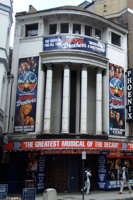
Phoenix Theatre
Theatres · 0.1 km

Curzon Phoenix Cinema
Theatres · 0.1 km

Odeon Covent Garden
Theatres · 0.1 km

Phoenix Arts Club
Theatres · 0.1 km

Phoenix Theatre
Open-air theatres · 0.1 km

Covent Garden Hotel
Hotels · 0.1 km
Nearby
📷 5Gardens · London
Helter Skelter
Helter Skelter — a garden in england-london, United Kingdom.
📷 5Memorials & monuments · London
Augustus Siebe
Augustus Siebe — a memorial in england-london, United Kingdom.
📷 5Historic houses · London
No 6 Denmark Street
No 6 Denmark Street — Camden, Greater London, WC2H.
📷 5Restaurants · London
Flat Iron Tottenham Court Road
Flat Iron Tottenham Court Road — a restaurant in england london. Cuisine: steak house. Brand: Flat Iron.
📷 5Historic houses · London
Centre Point
Centre Point — a Grade II-listed historic house in england-london, United Kingdom.
📷 5Gardens · London
Central Saint Giles
Central Saint Giles — a garden in england-london, United Kingdom.
Where to eat & stay near St Giles in the Fields, Holborn
Places to stay
📷 5Hotels · London
Covent Garden Hotel
Covent Garden Hotel — a hotel in england london.
 📷 5
📷 5 📷 5
📷 5 📷 5
📷 5 📷 5
📷 5 📷 5
📷 5Places to eat & drink
📷 5Restaurants · London
Flat Iron Tottenham Court Road
Flat Iron Tottenham Court Road — a restaurant in england london. Cuisine: steak house. Brand: Flat Iron.
 📷 6📷 5
Cafés · London
Monmouth Coffee Company
Monmouth Coffee Company — a café in england london.
 📷 5
📷 5 📷 5
📷 5 📷 7
📷 7Historic pubs · London
The Flying Horse
The Flying Horse in England London, United Kingdom.
Other works by Henry Flitcroft
 📷 5
📷 5.jpg?width=1200) 📷 5
📷 5Historic houses · London
Bower House
Bower House — country house in Havering, London, UK.
 📷 5
📷 5Historic churches · London
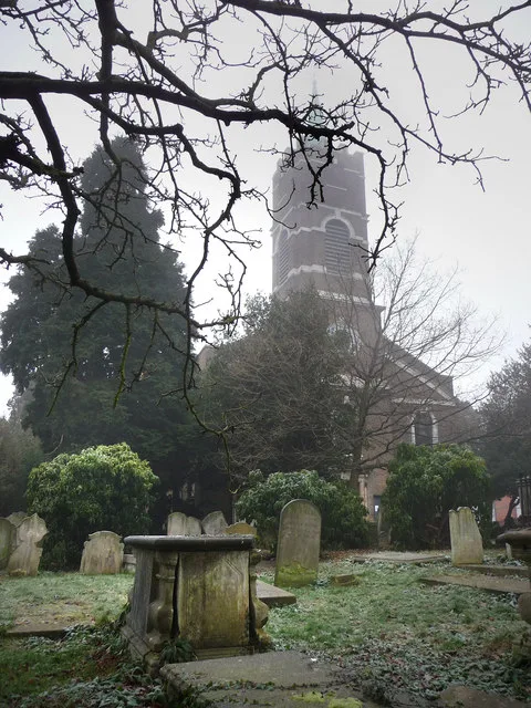
St John-at-Hampstead
St John-at-Hampstead — Grade I listed church in London, United Kingdom.
 📷 5
📷 5Historic houses · East of England
Lilford Hall
Lilford Hall — a Grade I-listed historic house in england-london, United Kingdom.
Other places from this era
 📷 5
📷 5Historic churches · London
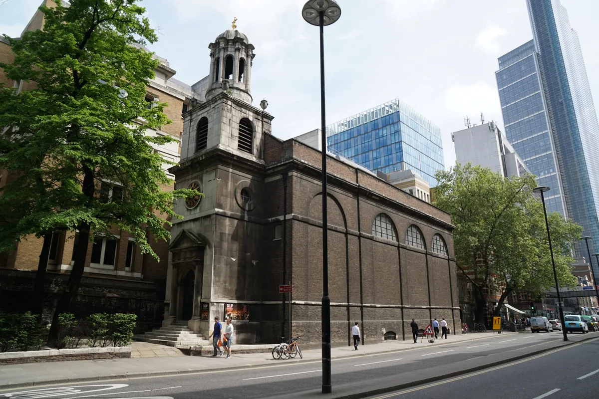
All Hallows-on-the-Wall
All Hallows-on-the-Wall — church in City of London, UK.
 📷 5
📷 5Historic churches · London
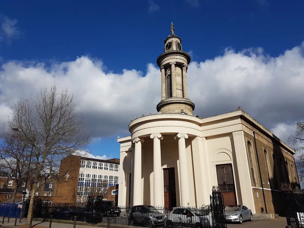
All Saints, Camden Town
All Saints, Camden Town — Greek Orthodox cathedral church in London, UK.
 📷 5
📷 5Historic churches · London
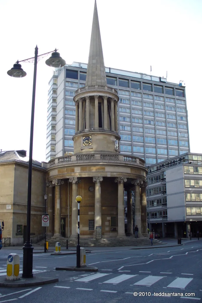
All Souls Church, Langham Place
All Souls Church, Langham Place — church building in Westminster, London, England, UK.
 📷 5
📷 5Historic churches · London
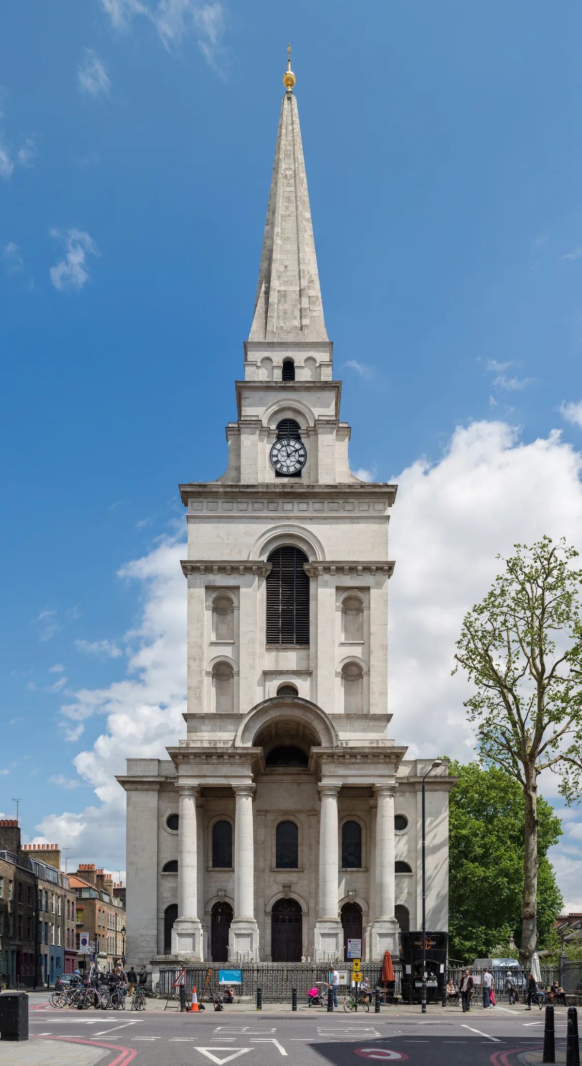
Christ Church, Spitalfields
Christ Church, Spitalfields — church in Spitalfields, London.
More places in this region
 📷 5
📷 5Historic churches · London
Abney Park Chapel
Abney Park Chapel — grade II listed church in the London Borough of Hackney, England,UK.
 📷 5
📷 5 📷 5
📷 5Historic churches · London
All Hallows Bread Street
All Hallows Bread Street — church in City of London, UK.
 📷 5
📷 5Historic churches · London
All Hallows Honey Lane
All Hallows Honey Lane — church in City of London, UK.
Frequently asked questions
- Where is St Giles in the Fields, Holborn?
- St Giles in the Fields, Holborn is in London, United Kingdom (postcode WC2H 8LG), in the parish of Camden, unparished area.
- What is St Giles in the Fields, Holborn?
- St Giles in the Fields, Holborn is a historic church in the United Kingdom.
- How do I get to St Giles in the Fields, Holborn?
- The nearest railway station is Tottenham Court Road, about 0.1 km away. The nearest town is Covent Garden. Drivers can use postcode WC2H 8LG.
- When was St Giles in the Fields, Holborn built?
- Built or established in 1731. Designed by Henry Flitcroft.
- Is St Giles in the Fields, Holborn a listed building?
- St Giles in the Fields, Holborn is officially recognised as Grade I listed building listed.
- Is St Giles in the Fields, Holborn free to visit?
- Yes, St Giles in the Fields, Holborn is free to enter.
- How do I get to St Giles in the Fields, Holborn?
- The nearest railway station is Tottenham Court Road, about 0.1 km away. Drivers can navigate to postcode WC2H 8LG.