
Gardens · London
St Clere
In or near Kemsing.
St Clere — a garden in england-london, United Kingdom.

Chris Gunns — CC BY-SA 2.0 via Wikimedia Commons licence

Plan your visit
- Typical visit
- 1 h–2.5 h
- Best time of year
- Spring & summer (Apr–Sep)
- Nearest railway station
- Kemsing · 1.6 km
- Dog-friendly
Getting there & planning your visit
To visit St Clere, the nearest railway station is Kemsing, located 1.6 km away. The postcode for sat-nav is TN15 6HY. Entry details are not provided.
About
St Clere is a garden of interest in england-london, United Kingdom — drawn from open-data sources for visitor reference. See the linked Wikipedia article for the full description.
Photo gallery
Protected designations
- Area of Outstanding Natural Beauty: Kent Downs
Designations sourced from Natural England open data under OGL v3.
From the Wikipedia article
St Clere is a Grade I listed 17th-century country house in Kemsing, Kent, England. The house is built in brick in three storeys plus basement and attic. It has a five bay front facade with a 19th-century central porch and a parapet. The high pitched hipped slated roof is surmounted by a row of linked tall brick chimneys. Extensions have been built to the side. Within the house is a chimneypiece by Sir John Soane, which was brought from the old Bank of England.
Excerpt from Wikipedia under CC BY-SA 4.0. See the source article linked in Sources below.
Background
History
In the 13th century, the property was known as Aldham and owned by a family of the same name, later passing to the St Clere family. Aldham became Aldham St Cleres and eventually St Cleres. The St Clere family died out in the 1400s and the estate was acquired by Henry Lovell, who built a new house there. In 1625 it passed to Sir John Sedley, 2nd Baronet (of Great Chart), who built the present house. By the death of the 4th baronet in 1702 the house was somewhat neglected and was sold to William Glanville, MP (formerly William Evelyn), High Sheriff of Kent for 1757. The house passed down in the Evelyn family via William Evelyn, MP and his son-in-law Alexander, who took the surname Evelyn and…
Visiting
The house was the main filming location for The Mirror Crack'd, a 1980 British mystery film directed by Guy Hamilton based on Agatha Christie's thriller and starring Angela Lansbury as Miss Marple. The estate was also used to film scenes for television series The Great, and the British action series Gangs of London'.
Sourced from Wikipedia under CC BY-SA 4.0.
- Coordinates
- 51.3094, 0.2611
- County
- Kent
- District
- Sevenoaks
- Parish
- Kemsing
- Postcode
- TN15 6HY
- Parliamentary constituency
- Sevenoaks
- Nearest railway station
- Kemsing — 1.6 km
Sources
- wikidata: Q17529892 (CC0)
- wikipedia: St Clere, Kent (CC BY-SA 4.0)
Other places nearby

Yaldham Manor
Manor houses · 1.1 km

Wrotham Hill
Mountains & hills · 1.9 km

Kemsing Castle Bank
Literary houses · 2.2 km

Kemsing War Memorial
Memorials & monuments · 2.2 km

Stonepitts Manor House
Historic houses · 2.2 km

Ightham Court
Castles · 2.4 km

Kemsing
Towns & cities · 2.5 km
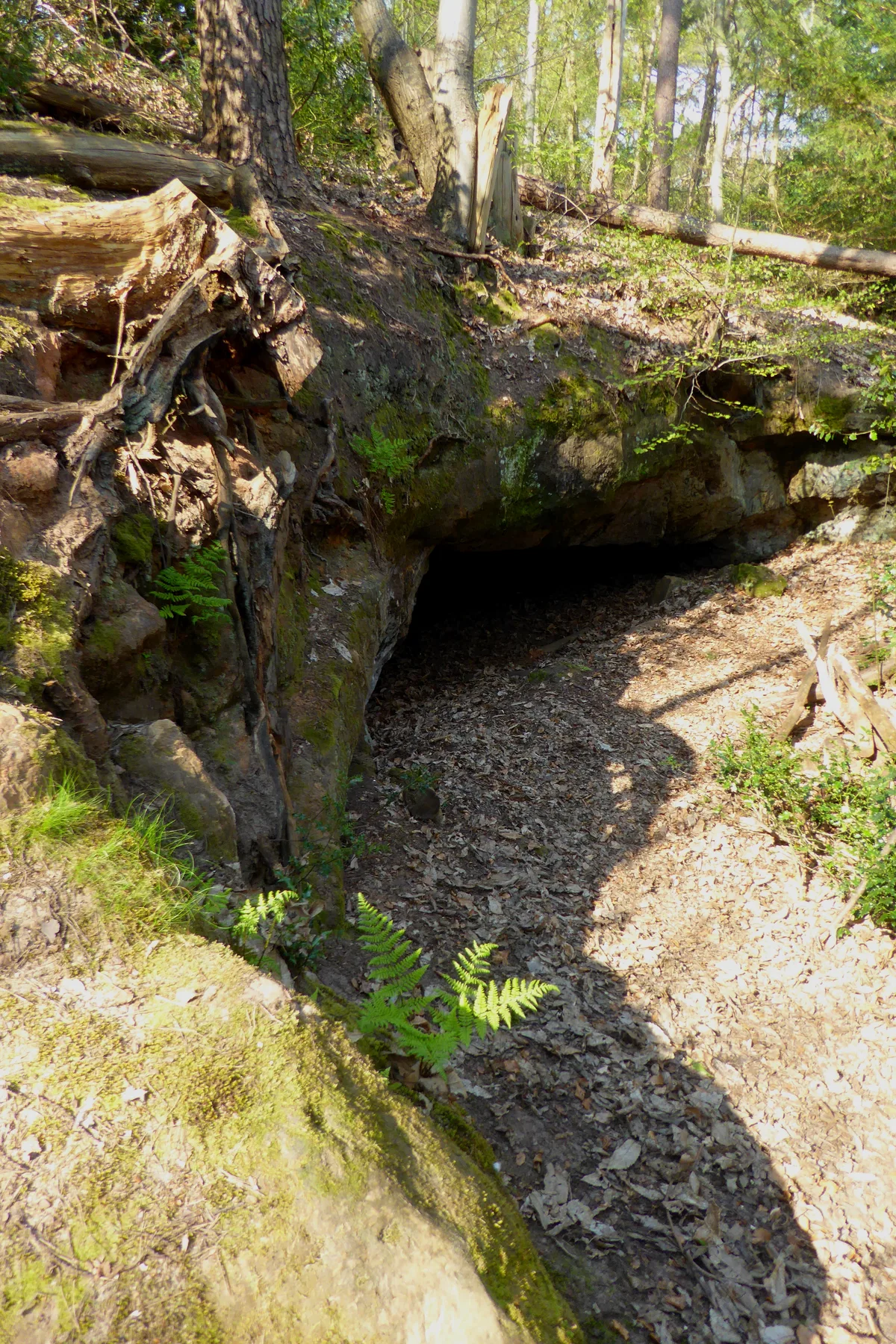
Oldbury rock shelters
Hill forts · 2.7 km

Kemsing Down Nature Reserve
Forests & woodlands · 2.7 km

Oldbury Hill Camping and Caravanning Club Site
Campsites · 2.8 km

Oldbury hillfort
Vineyards · 2.9 km

Kent Firefighting Museum
Museums · 3.0 km
Nearby
📷 5Manor houses · London
Yaldham Manor
Yaldham Manor — Grade II listed building-listed manor in england-london, United Kingdom.
📷 5📷 5Literary houses · London
Kemsing Castle Bank
Kemsing Castle Bank — a literary house museum in england london.
📷 5Memorials & monuments · London
Kemsing War Memorial
Kemsing War Memorial — Grade II listed building-listed memorial in england-london, United Kingdom.
📷 5Historic houses · London
Stonepitts Manor House
Stonepitts Manor House — house in Seal, Sevenoaks, England, UK.
📷 5Castles · London
Ightham Court
Ightham Court — Grade II* listed building-listed castle in england-london, United Kingdom.
Where to eat & stay near St Clere
Places to stay
📷 5Campsites · London
Oldbury Hill Camping and Caravanning Club Site
Oldbury Hill Camping and Caravanning Club Site — a campsite in england london.
 📷 5
📷 5 📷 5
📷 5 📷 7
📷 7 📷 5📷 5
Caravan parks · London
Clearways Park
Clearways Park — a caravan park in england london.
Places to eat & drink
 📷 5
📷 5 📷 6
📷 6Historic pubs · London
The Kentish Yeoman Public House
The Kentish Yeoman Public House in England London, United Kingdom.
 📷 7
📷 7 📷 7
📷 7 📷 7
📷 7Historic pubs · South East England
The Black Boy Public House
The Black Boy Public House in England South East, United Kingdom.
 📷 7
📷 7Historic pubs · South East England
The Chequers Inn
The Chequers Inn in England South East, United Kingdom.
More gardens in this region
 Flagship📷 10
Gardens · London
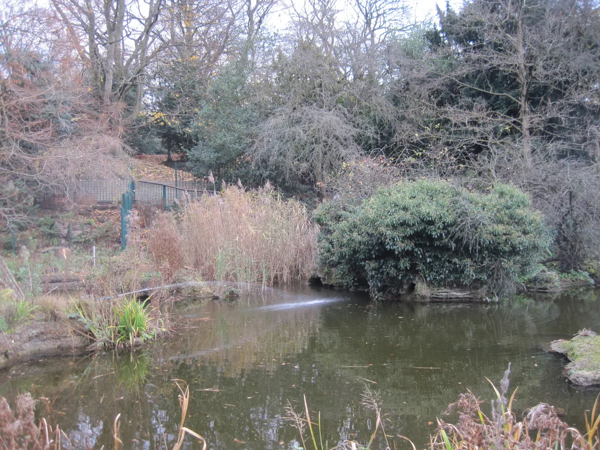
Avenue House Grounds
Avenue House Grounds — garden in London Borough of Barnet, United Kingdom.
 📷 10
📷 10Gardens · London
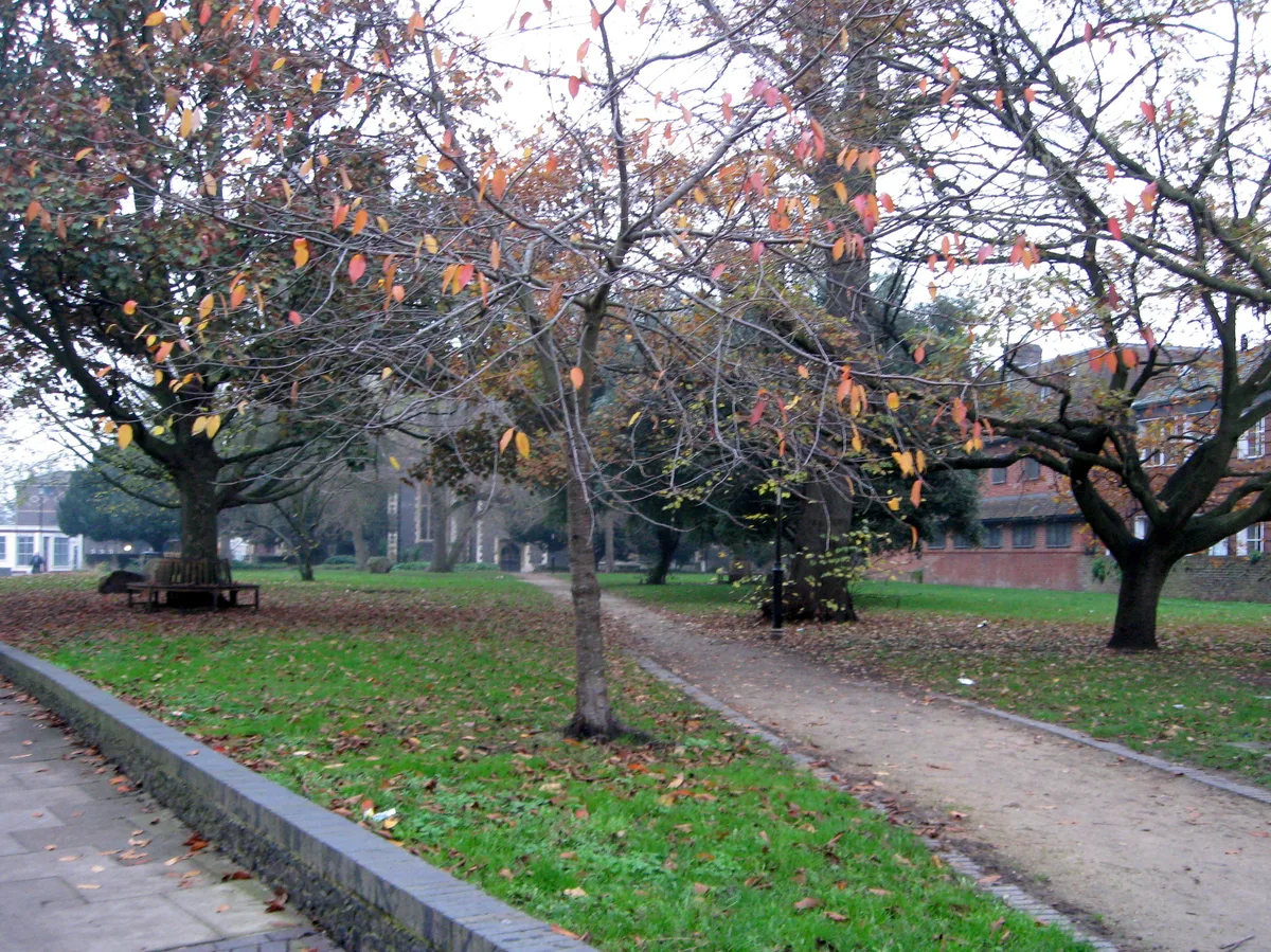
St. Johns Memorial Garden
St. Johns Memorial Garden is a garden in the United Kingdom.
 📷 10
📷 10Gardens · London
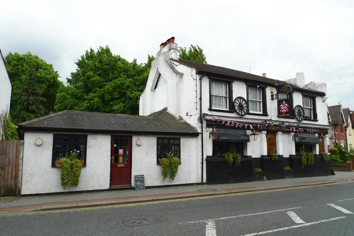
Woodside Green
Woodside Green — street and green space in the London Borough of Croydon, England, UK.
 📷 5
📷 5Gardens · London
A Maximis Ad Minima
A Maximis Ad Minima — Public artwork (sculpture) by Eduardo Paolozzi.
Frequently asked questions
- Where is St Clere?
- St Clere is in Kent, London, United Kingdom (postcode TN15 6HY), in the parish of Kemsing.
- What is St Clere?
- St Clere — a garden in england-london, United Kingdom.
- How do I get to St Clere?
- The nearest railway station is Kemsing, about 1.6 km away. Drivers can use postcode TN15 6HY.
- Is St Clere a protected site?
- Yes — St Clere is part of the Kent Downs National Landscape (AONB).
- How do I get to St Clere?
- The nearest railway station is Kemsing, about 1.6 km away. Drivers can navigate to postcode TN15 6HY.