Wildlife reserves · South East England
St Clair's Meadow
St Clair's Meadow is a wildlife reserve in the United Kingdom.

Wikimedia Commons licence
Plan your visit
- Typical visit
- 2 h–4 h
- Best time of year
- Autumn & winter (migration & wildfowl)
- Nearest railway station
- Botley · 9.1 km
- Free entry
- Dog-friendly
About
St Clair's Meadow is a wildlife reserve in the United Kingdom. Coordinates: 50.9370°, -1.1330°. This entry is part of The Great Britain Guide, a free, ad-free, open-data tourist directory.
Photo gallery
From the Wikipedia article
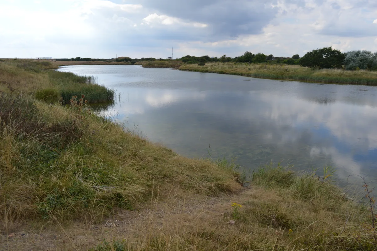
St Clair's Meadow is a 16-hectare (40-acre) nature reserve near Soberton in Hampshire. It is managed by the Hampshire and Isle of Wight Wildlife Trust. The River Meon flows through this grassland site, and it has diverse wildlife. There are water voles and kingfishers along the river, and insects include beautiful demoiselle damselflies, golden-ringed dragonflies and many species of butterfly.
Excerpt from Wikipedia under CC BY-SA 4.0. See the source article linked in Sources below.
- Coordinates
- 50.9370, -1.1330
- County
- Hampshire
- District
- Winchester
- Parish
- Soberton
- Postcode
- SO32 3PN
- Parliamentary constituency
- Winchester
- Nearest railway station
- Botley — 9.1 km
Sources
- wikidata: Q95911117 (CC0)
- wikipedia: St Clair's Meadow (CC BY-SA 4.0)
Other places nearby
Loading nearby places…
Nearby
 📷 5
📷 5Memorials & monuments · South East England
Soberton War Memorial
Soberton War Memorial — a memorial in england-south-east, United Kingdom.
Mountain bike trails · South East England
Meon Valley Trail
Meon Valley Trail — a mtb trail in england south east.
 📷 3
📷 3Historic houses · South East England
Hill Place
Hill Place — a Grade II*-listed historic house in england-south-east, United Kingdom.
 📷 5
📷 5Historic churches · South East England
Church of St Mary and All Saints
Church of St Mary and All Saints — Grade I listed church in Droxford, Hampshire, England, UK.
 📷 5
📷 5Historic houses · South East England
The Manor House
The Manor House — house in Droxford, Winchester, England, UK.
 📷 5
📷 5Memorials & monuments · South East England
The Murder Stone.
The Murder Stone. — a memorial in england-south-east, United Kingdom.
More places in this region
 Flagship📷 10
Wildlife reserves · South East England
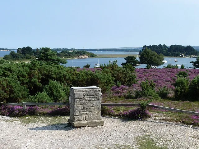
Arne RSPB reserve
Arne RSPB reserve — RSPB nature reserve in the United Kingdom.
 Flagship📷 10
Wildlife reserves · South East England
Farnham Park
Farnham Park — nature reserve in Surrey, England, UK.
 Flagship📷 10
Wildlife reserves · South East England
Great Wood and Dodd's Grove
Great Wood and Dodd's Grove — Essex Wildlife Trust Nature reserve.
 Flagship📷 10
Wildlife reserves · South East England
Gunners Park and Shoebury Ranges
Gunners Park and Shoebury Ranges — Essex Wildlife Trust Nature reserve.
Frequently asked questions
- Where is St Clair's Meadow?
- St Clair's Meadow is in Hampshire, South-East England, United Kingdom (postcode SO32 3PN), in the parish of Soberton.
- Who owns St Clair's Meadow?
- St Clair's Meadow is owned by Hampshire and Isle of Wight Wildlife Trust.
- Is St Clair's Meadow free to visit?
- Yes, St Clair's Meadow is free to enter.
- How do I get to St Clair's Meadow?
- Drivers can navigate to postcode SO32 3PN. It sits within the Winchester parliamentary constituency.
- Are dogs allowed at St Clair's Meadow?
- Most wildlife reserves allow dogs on lead only, with restrictions during ground-nesting bird season (March-July). Check signage at the reserve.