
Historic churches · West Midlands
St Chad's Church, Rubery
In or near Barnt Green.
St Chad's Church, Rubery — a Grade II*-listed church in england-west-midlands, United Kingdom.

Thomas Roberts — CC BY-SA 2.0 via Wikimedia Commons licence

Plan your visit
- Typical visit
- 30 min–1 h
- Nearest railway station
- Longbridge · 2.6 km
- Free entry
Getting there & planning your visit
To visit St Chad's Church in Rubery, the nearest railway station is Longbridge, located 2.6 km away. The postcode for sat-nav is B45 9JB, and entry to the church is free.
About
St Chad's Church, Rubery is a Grade II*-listed building in england-west-midlands, United Kingdom. Grade II* status is conferred by Historic England (or Cadw, Historic Environment Scotland or NIEA equivalents) on buildings of exceptional national interest. See the linked Wikipedia article for full historical and architectural details.
Photo gallery
From the Wikipedia article
St Chad’s Church, Rubery is a Church of England parish church in Rubery, Worcestershire.
Excerpt from Wikipedia under CC BY-SA 4.0. See the source article linked in Sources below.
Background
History
The church evolved in 1895 as a mission church from Holy Trinity Church, Lickey. The first building was a small wooden church. The wooden church comprised a nave only, with campanile tower at the west end, tiled with shingles, the roof with red and blue tiles. It accommodated 300 persons and cost £530. The architects were W. Jeffery Hopkins and A.B. Pinckney. A parish was assigned out of Holy Trinity Church, Lickey in 1933. The Second World War prevented progress on building a new church, but this was started in 1957 to designs by the architect Richard Twentyman and completed in 1959. The work cost £40,000 and was funded partly by the parish and partly by the Diocesan Golden Jubilee Appeal.…
Sourced from Wikipedia under CC BY-SA 4.0.
- Coordinates
- 52.3930, -2.0185
- County
- Worcestershire
- District
- Bromsgrove
- Parish
- Bromsgrove, unparished area
- Postcode
- B45 9JB
- Parliamentary constituency
- Bromsgrove
- Established
- 1960
- Nearest railway station
- Longbridge — 2.6 km
Sources
- wikidata: Q21061555 (CC0)
- wikipedia: St Chad's Church, Rubery (CC BY-SA 4.0)
Other places nearby

Rubery Cinema
Theatres · 0.1 km

Rubery
Villages · 0.8 km

Empire Birmingham Great Park
Theatres · 0.9 km

Colmers School
Natural landmarks · 1.2 km

The Toposcope
Viewpoints · 1.2 km

Beacon Hill
Mountains & hills · 1.2 km

Rednal Hill
Mountains & hills · 1.3 km

Windmill Hill
Viewpoints · 1.7 km

Chapman's Hill
Mountains & hills · 1.7 km
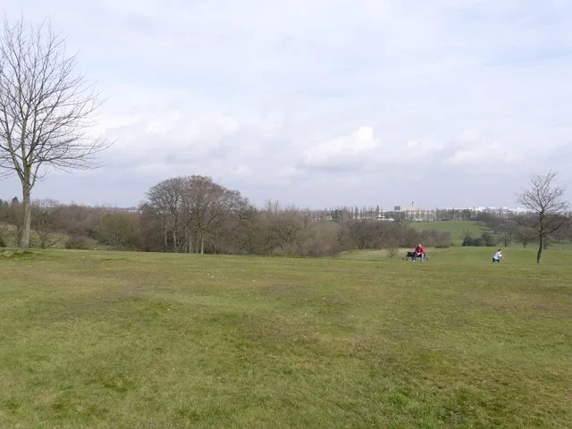
Cofton Park
Parks · 1.8 km

Chadwick Manor
Manor houses · 1.8 km
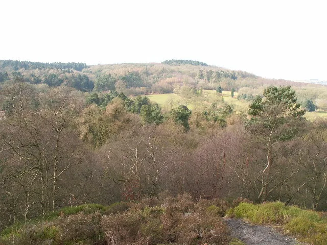
Lickey Hills Country Park
Parks · 1.9 km
Nearby
📷 3📷 5📷 3Theatres · West Midlands
Empire Birmingham Great Park
Empire Birmingham Great Park in England West Midlands, United Kingdom.
📷 5Natural landmarks · West Midlands
Colmers School
Colmers School — a school heritage in england-west-midlands, United Kingdom.
📷 3📷 5Mountains & hills · West Midlands
Beacon Hill
Beacon Hill — a hill or mountain in england west midlands.
Where to eat & stay near St Chad's Church, Rubery
Places to stay
 📷 4
📷 4Campsites · West Midlands
Clent Hills Camping and Caravanning Club Site
Clent Hills Camping and Caravanning Club Site — a campsite in england west midlands.
 📷 5
📷 5Campsites · West Midlands
Roberts Podded Village
Roberts Podded Village — a campsite in england west midlands.
📷 5Hostels · West Midlands
Stable Block at Blackwell Court
Stable Block at Blackwell Court — a hostel in england west midlands.
📷 5Campsites · West Midlands
Blackwell Adventure Outdoor Activity Centre
Blackwell Adventure Outdoor Activity Centre — a campsite in england west midlands.
📷 5Hostels · West Midlands
Blackwell Court Manor House
Blackwell Court Manor House — a hostel in england west midlands.
 📷 5
📷 5Hotels · West Midlands
ibis budget Bromsgrove 2 stars
ibis budget Bromsgrove 2 stars — a hotel in england west midlands. 2-star. Brand: Ibis Budget.
Places to eat & drink
%2C_22_Kendal_End_Road%2C_Barnt_Green_-_geograph.org.uk_-_2792350.jpg?width=1200) 📷 3
📷 3Historic pubs · West Midlands
The Barnt Green Inn
The Barnt Green Inn — Historic pub — listed building or notable heritage status.
 📷 5
📷 5Historic pubs · West Midlands
The Black Horse
The Black Horse — Historic pub — listed building or notable heritage status.
 📷 3
📷 3Historic pubs · West Midlands
The Great Stone
The Great Stone — Historic pub — listed building or notable heritage status.
 📷 3
📷 3Historic pubs · West Midlands
The Crabmill
The Crabmill — Historic pub — listed building or notable heritage status.
 📷 5
📷 5Historic pubs · West Midlands
George Inn Public House
George Inn Public House in England West Midlands, United Kingdom.
 📷 5
📷 5Restaurants · West Midlands
The Queens
The Queens — a restaurant in england west midlands.
More places in this region
 📷 3
📷 3Historic churches · West Midlands
Church of All Saints
Church of All Saints — Grade I listed church in King's Bromley, Staffordshire, England, UK.
 📷 3
📷 3Historic churches · West Midlands
Church of St Leonard, Blithfield
Church of St Leonard, Blithfield — Grade I listed church, Blithfield, United Kingdom.
 📷 3
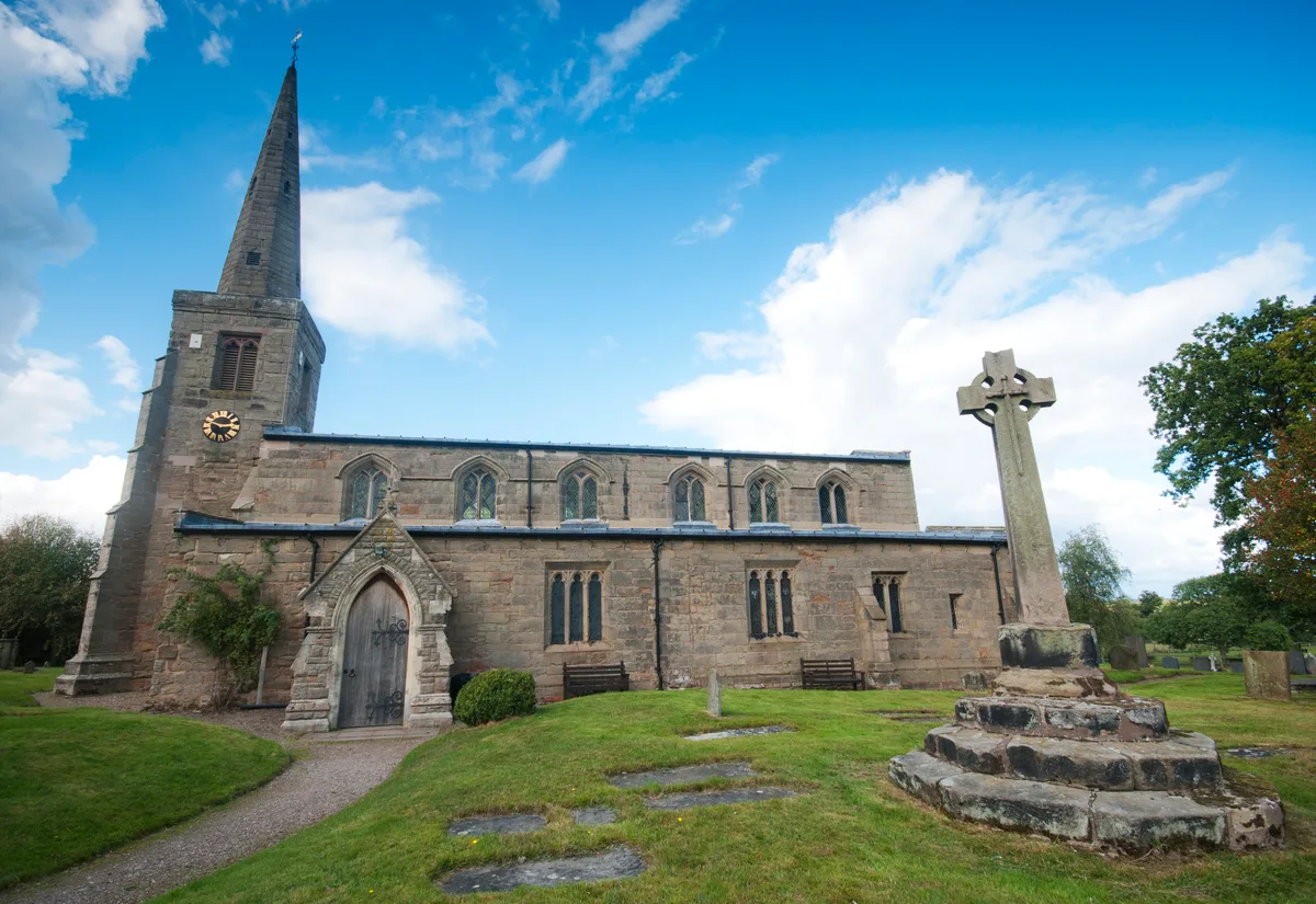
📷 3Historic churches · West Midlands
Church of St Michael and All Angels, Hamstall Ridware
Church of St Michael and All Angels, Hamstall Ridware — church in Hamstall Ridware, Staffordshire, England, UK.
 📷 5
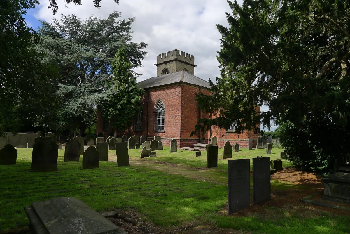
📷 5Historic churches · West Midlands
Church of St Nicholas, Mavesyn Ridware
Church of St Nicholas, Mavesyn Ridware — church in Mavesyn Ridware, Staffordshire, England, UK.
Frequently asked questions
- Where is St Chad's Church, Rubery?
- St Chad's Church, Rubery is in Worcestershire, the West Midlands, United Kingdom (postcode B45 9JB), in the parish of Bromsgrove, unparished area.
- What is St Chad's Church, Rubery?
- St Chad's Church, Rubery — a Grade II*-listed church in england-west-midlands, United Kingdom.
- How do I get to St Chad's Church, Rubery?
- The nearest railway station is Longbridge, about 2.6 km away. Drivers can use postcode B45 9JB.
- When was St Chad's Church, Rubery built?
- Built or established in 1960. Designed by Richard Twentyman.
- Is St Chad's Church, Rubery a listed building?
- St Chad's Church, Rubery is officially recognised as Grade II* listed.
- Is St Chad's Church, Rubery free to visit?
- Yes, St Chad's Church, Rubery is free to enter.
- How do I get to St Chad's Church, Rubery?
- The nearest railway station is Longbridge, about 2.6 km away. Drivers can navigate to postcode B45 9JB.