
Stadiums · West Midlands
St Andrew's
Also known as: Stadiwm Sant Andreas
In or near Birmingham.
St Andrew's — football stadium in the Bordesley district of Birmingham.

Wikimedia Commons contributors — see linked file page for photographer and licence licence

Plan your visit
- Typical visit
- 1.5 h–3 h
- Nearest railway station
- Bordesley · 0.7 km
Getting there & planning your visit
To visit St Andrew's stadium in Birmingham, the nearest railway station is Bordesley, located 0.7 km away. The postcode for sat-nav is B9 4NH. Entry details are not provided, so please check in advance for any fees or accessibility information.
About
St Andrew's is a stadium in the United Kingdom. Records date its origin to 1906. Owned by Birmingham City F.C.. Managed by Birmingham City F.C.. Wikidata describes it as: "football stadium in the Bordesley district of Birmingham". Coordinates: 52.4757°, -1.8682°.
Photo gallery
From the Wikipedia article
St Andrew's, known since 2024 for sponsorship reasons as St. Andrew's @ Knighthead Park, is an association football stadium in the Bordesley district of Birmingham, England. It has been the home ground of Birmingham City Football Club for more than a century. From 2018 to 2021, its sponsored name was St Andrew's Trillion Trophy Stadium. Constructed and opened in 1906 to replace the Muntz Street ground, which had become too small to meet the club's needs, the original St Andrew's could hold an estimated 75,000 spectators, housed in one grandstand and a large uncovered terrace. Between 1906 and 1939 it was reported that a lot of construction work took place inside the ground and the official capacity was set at 68,000 at the start of the 1938-39 season. The attendance record, variously recorded as 66,844 or 67,341, was set at a 1939 FA Cup tie against Everton. During the Second World War, St Andrew's suffered bomb damage and the grandstand, housing a temporary fire station, burned down in an accidental fire. In the 1950s, the club replaced the stand and installed floodlights, and later erected a second small stand and roofed over the open terraces, but there were few further changes. The ground became dilapidated: a boy was killed when a wall collapsed during rioting in the 1980s. When new owners took the club out of administration in 1993, they began a six-year redevelopment programme during which the ground was converted to an all-seater stadium to comply with the Taylor Report into safety at sports grounds, and all areas apart from the Main Stand were completely rebuilt. The seating capacity of the modern stadium is 27,535. It has function rooms suitable for business or social events and a club store selling Birmingham City merchandise. A 2004 proposal that the club should sell the ground and move into a multi-purpose City of Birmingham Stadium came to nothing. In 2013, the ground was listed as an asset of community value under the Localism Act 2011. St Andrew's…
Excerpt from Wikipedia under CC BY-SA 4.0. See the source article linked in Sources below.
Background
Architecture
The stadium has four stands. The Main Stand (renamed the Garrison Lane Stand from 2010 to 2012), a free-standing structure on the north side of the playing area, was completed in 1954 and has seating for fewer than 5,000 spectators. The lower tier, known as the Paddocks, consists of a few rows of seats placed on the uncovered terraced area in front of the stand; the view from this area can be obstructed by the central tunnel and the dugouts. A row of executive boxes was added at the back of the Paddocks in the 1970s. The family area is divided between the eastern end of the Main Stand and the Paddock beneath. The club planned £1.3 million worth of restructuring and refurbishment work on the…
Description
In 2004 a proposal was put forward to build a "sports village" comprising a new 55,000 stadium for the club, to be known as the City of Birmingham Stadium, other sports and leisure facilities, and a super casino. The project would be jointly financed by Birmingham City Council, Birmingham City F.C. (via the proceeds of the sale of St Andrew's) and the casino group Las Vegas Sands. The feasibility of the plan depended on the government issuing a licence for a super casino as permitted under the Gambling Act 2005, and Birmingham being chosen as the venue, but this did not happen. The club have planning permission to redevelop the Main Stand, and a derelict building behind the stand has been…
Sourced from Wikipedia under CC BY-SA 4.0.
- Coordinates
- 52.4757, -1.8682
- District
- Birmingham
- Parish
- Birmingham, unparished area
- Postcode
- B9 4NH
- Parliamentary constituency
- Birmingham Ladywood
- Established
- 1906
- Nearest railway station
- Bordesley — 0.7 km
Sources
- wikidata: Q819179 (CC0)
- wikipedia: St Andrew's (stadium) (CC BY-SA 4.0)
- commons: TiltonRoadEnd01.JPG (CC BY-SA 4.0)
Other places nearby

Darul Barakaat Mosque
Historic churches · 0.2 km
Darul Barkaat Mosque
Historic churches · 0.2 km

Khalm-e-Nubudwat Educational Centre
Historic churches · 0.3 km

Goldstar
Public art & sculpture · 0.4 km

Kingston Cinema
Theatres · 0.4 km

The Sportsman
Historic pubs · 0.4 km

Green Lane Masjid
Historic churches · 0.4 km

Beau Brummie Tavern
Historic pubs · 0.5 km

The Garrison
Historic pubs · 0.6 km

Grange Super Cinema
Theatres · 0.6 km

Elite Theatre
Theatres · 0.6 km

Middle Ring Road 15th June 1990
Memorials & monuments · 0.6 km
Nearby
📷 5Historic churches · West Midlands
Darul Barakaat Mosque
Darul Barakaat Mosque — a mosque in england-west-midlands, United Kingdom.
📷 5Historic churches · West Midlands
Darul Barkaat Mosque
Darul Barkaat Mosque — a church in england-west-midlands, United Kingdom.
📷 5Historic churches · West Midlands
Khalm-e-Nubudwat Educational Centre
Khalm-e-Nubudwat Educational Centre — a church in england-west-midlands, United Kingdom.
📷 3Public art & sculpture · West Midlands
Goldstar
Goldstar — a public art in england-west-midlands, United Kingdom.
📷 3📷 3Historic pubs · West Midlands
The Sportsman
The Sportsman — Historic pub — listed building or notable heritage status.
Where to eat & stay near St Andrew's
Places to stay
 📷 5
📷 5Hostels · West Midlands
Birmingham Central Backpackers
Birmingham Central Backpackers — a hostel in england west midlands.
 📷 5
📷 5 📷 5
📷 5 📷 5
📷 5 📷 5
📷 5 📷 5
📷 5Hostels · West Midlands
Ackers Residential Centre
Ackers Residential Centre — a hostel in england west midlands.
Places to eat & drink
📷 3Historic pubs · West Midlands
The Sportsman
The Sportsman — Historic pub — listed building or notable heritage status.
📷 3Historic pubs · West Midlands
Beau Brummie Tavern
Beau Brummie Tavern — Historic pub — listed building or notable heritage status.
📷 3Historic pubs · West Midlands
The Garrison
The Garrison — Historic pub — listed building or notable heritage status.
.jpg?width=1200) 📷 4
📷 4Historic pubs · West Midlands
The Clements Arms
The Clements Arms — Historic pub — listed building or notable heritage status.
 📷 3
📷 3Historic pubs · West Midlands
Dead Wax Digbeth
Dead Wax Digbeth — Historic pub — listed building or notable heritage status.
 📷 4
📷 4Historic pubs · West Midlands
The Rainbow
The Rainbow — Historic pub — listed building or notable heritage status.
Other places from this era
.jpg?width=1200) 📷 5
📷 5Stadiums · London
Bobby Moore statue
Bobby Moore statue — Public artwork (statue).
 📷 5
📷 5Stadiums · London
Brentford Community Stadium
Brentford Community Stadium — stadium in London, England.
 📷 5
📷 5Stadiums · London
Hackney Wick Stadium
Hackney Wick Stadium — former stadium in thr Londom Borough of Hackney.
.jpg?width=1200) 📷 5
📷 5More places in this region
 📷 3
📷 3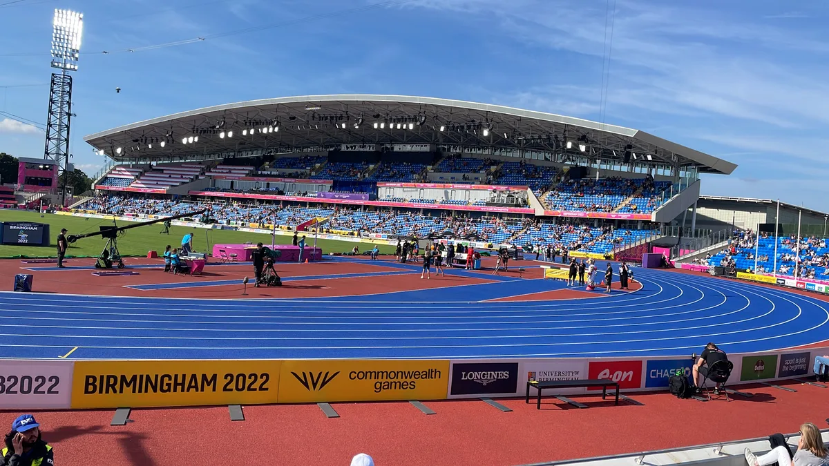 📷 3
📷 3Stadiums · West Midlands
Alexander Stadium
Alexander Stadium — stadium in Birmingham, UK.
 📷 3
📷 3Stadiums · West Midlands
Birchfield Ladbroke Stadium
Birchfield Ladbroke Stadium — greyhound racing track in Perry Barr, Birmingham, England.
 📷 3
📷 3Frequently asked questions
- Where is St Andrew's?
- St Andrew's is in the West Midlands, United Kingdom (postcode B9 4NH), in the parish of Birmingham, unparished area.
- What is St Andrew's?
- St Andrew's — football stadium in the Bordesley district of Birmingham.
- How do I get to St Andrew's?
- The nearest railway station is Bordesley, about 0.7 km away. Drivers can use postcode B9 4NH.
- When was St Andrew's built?
- Built or established in 1906.
- Who runs St Andrew's?
- St Andrew's is operated by Birmingham City F.C..
- How do I get to St Andrew's?
- The nearest railway station is Bordesley, about 0.7 km away. Drivers can navigate to postcode B9 4NH.