
Windmills · East Midlands
Spann Carr Windmill Tower
In or near Alton.
Spann Carr Windmill Tower — Grade II listed building-listed windmill in england-east-midlands, United Kingdom.

Mike Fowkes — CC BY-SA 2.0 via Wikimedia Commons licence

Plan your visit
- Typical visit
- 30 min–1 h
- Nearest railway station
- Chesterfield · 7.0 km
- Free entry
- Family-friendly
- Dog-friendly
Getting there & planning your visit
To visit Spann Carr Windmill Tower, the nearest railway station is Chesterfield, which is 7 km away. The postcode for sat-nav is S45 0LJ, and entry is free. Accessibility details are not provided.
About
Spann Carr Windmill Tower is a Grade II listed building-listed windmill in england-east-midlands, United Kingdom, registered on the National Heritage List for England (NHLE entry 1218522). Listed status protects buildings and structures of special architectural or historic interest. See the linked Wikipedia article for further details.
Photo gallery
Heritage listing
Details ASHOVER SK36NW MATLOCK ROAD 1264-0/5/65 (East side (off)) 18/05/89 Spann Carr Windmill Tower GV II Windmill tower. Built 1807. Coursed squared gritstone with tooled dressings to door and window openings. Tapering circular tower of 4 storeys. At ground level, there is an east-facing doorway; at first-floor level, 2 opposed doorways, facing north and south, all with massive diagonally tooled jambs and deep lintels. Each first-floor doorway formerly had a flight of stone steps. There are a number of rectangular window openings with plain heads and sills, formerly with small-paned metal windows, one of which survives. INTERIOR: machinery and fittings have all been removed, but the building retains 4 hearths which emerge at 2 vents at third-floor level. History: the mill was built by James and Matthew Beresford of Hazelhurst Farm, and was adapted to steam power, at which time an engine house and chimney (both now removed) were erected. Listing NGR: SK3420566093 Legacy The contents of this record have been generated from a legacy data system. Legacy System number: 393474 Legacy System: LBS
From the Historic England List Entry under OGL v3.
Place summary
Spann Carr Windmill Tower is a Grade II listed windmill located in the East Midlands. It is notable for its historical significance and architectural features typical of traditional windmills.
AI-generated from the structured facts on this page (operator, designation, listing, era). Not a substitute for visiting.
- Coordinates
- 53.1908, -1.4895
- County
- Derbyshire
- District
- North East Derbyshire
- Parish
- Ashover
- Postcode
- S45 0LJ
- Parliamentary constituency
- North East Derbyshire
- Nearest railway station
- Chesterfield — 7 km
Sources
- wikidata: Q26513145 (CC0)
Other places nearby

Holymoorside & Walton South Boundary Stone
Memorials & monuments · 1.2 km

North East Derbyshire
Museums · 1.2 km

Holymoorside and Walton South East Boundary Stone
Memorials & monuments · 1.7 km

Hunger Hill Pumping Station
Historic houses · 2.2 km

Alton
Towns & cities · 2.7 km

The Fabrick
Mountains & hills · 2.9 km

Dumble Hole Swallet
Caves · 3.0 km

The Crispin Inn
Historic pubs · 3.0 km
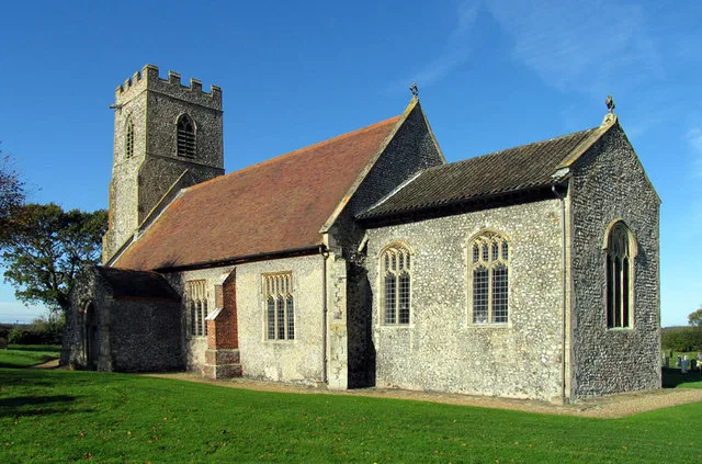
Church of All Saints
Historic churches · 3.0 km

Holymoorside War Memorial
Memorials & monuments · 3.3 km

Holymoorside and Walton War Memorial
Memorials & monuments · 3.3 km

Goss Hall
B&Bs · 3.4 km
Nearby
📷 3Memorials & monuments · East Midlands
Holymoorside & Walton South Boundary Stone
Holymoorside & Walton South Boundary Stone is a memorial in the United Kingdom.
📷 5Museums · East Midlands
North East Derbyshire
North East Derbyshire — a museum in england-east-midlands, United Kingdom.
📷 3Memorials & monuments · East Midlands
Holymoorside and Walton South East Boundary Stone
Holymoorside and Walton South East Boundary Stone — a memorial in england-east-midlands, United Kingdom.
📷 3Historic houses · East Midlands
Hunger Hill Pumping Station
Hunger Hill Pumping Station — a historic house in england-east-midlands, United Kingdom.
📷 3📷 5Mountains & hills · East Midlands
The Fabrick
The Fabrick — mountain in england east midlands. Elevation: 299 m.
Where to eat & stay near Spann Carr Windmill Tower
Places to stay
📷 5B&Bs · East Midlands
Goss Hall
Goss Hall — a bed-and-breakfast in england east midlands.
 📷 5
📷 5Caravan parks · East Midlands
Brookfield Mobile Home Park
Brookfield Mobile Home Park — a caravan park in england east midlands.
 📷 5
📷 5Caravan parks · East Midlands
Millfield Mobile Home Park
Millfield Mobile Home Park — a caravan park in england east midlands.
 📷 5
📷 5 📷 5
📷 5Caravan parks · East Midlands
Packhorse Farm
Packhorse Farm — a caravan park in england east midlands.
 📷 5
📷 5Places to eat & drink
📷 5Historic pubs · East Midlands
The Crispin Inn
The Crispin Inn in England East Midlands, United Kingdom.
 📷 5
📷 5Historic pubs · East Midlands
The Miners Arms Public House
The Miners Arms Public House in England East Midlands, United Kingdom.
 📷 5
📷 5Historic pubs · East Midlands
The Royal Oak Inn
The Royal Oak Inn in England East Midlands, United Kingdom.
 📷 7
📷 7Historic pubs · East Midlands
The Nags Head Public House
The Nags Head Public House in England East Midlands, United Kingdom.
 📷 5
📷 5Historic pubs · East Midlands
Duke William Inn
Duke William Inn in England East Midlands, United Kingdom.
 📷 7
📷 7More windmills in this region
 📷 5
📷 5 📷 5
📷 5Windmills · East Midlands
Mill House East Of Barnack Windmill
Mill House East Of Barnack Windmill — Grade II listed building-listed windmill in england-london, United Kingdom.
 📷 5
📷 5Windmills · East Midlands
Barnack Windmill
Barnack Windmill — Grade II listed building-listed windmill in england-london, United Kingdom.
 📷 3
📷 3Frequently asked questions
- Where is Spann Carr Windmill Tower?
- Spann Carr Windmill Tower is in Derbyshire, the East Midlands, United Kingdom (postcode S45 0LJ), in the parish of Ashover.
- What is Spann Carr Windmill Tower?
- Spann Carr Windmill Tower — Grade II listed building-listed windmill in england-east-midlands, United Kingdom.
- How do I get to Spann Carr Windmill Tower?
- The nearest railway station is Chesterfield, about 7.0 km away. Drivers can use postcode S45 0LJ.
- Is Spann Carr Windmill Tower a listed building?
- Spann Carr Windmill Tower is officially recognised as Grade II listed building listed.
- Is Spann Carr Windmill Tower free to visit?
- Yes, Spann Carr Windmill Tower is free to enter.
- How do I get to Spann Carr Windmill Tower?
- The nearest railway station is Chesterfield, about 7.0 km away. Drivers can navigate to postcode S45 0LJ.