
Historic churches · Yorkshire & the Humber
South Killingholme
In or near North Killingholme.
South Killingholme is a village and civil parish in North Lincolnshire, England. The population of the civil parish at the 2011 census was 1,108. The parish was predominately agricultural and sparsely

Mat Fascione — CC BY-SA 2.0 via Wikimedia Commons licence

Plan your visit
- Typical visit
- 30 min–1 h
- Nearest railway station
- Habrough · 3.6 km
- Free entry
Getting there & planning your visit
To visit South Killingholme, the nearest railway station is Habrough, located 3.6 km away. The postcode for navigation is DN40 3DS, and entry to the church is free.
About
South Killingholme is a village and civil parish in North Lincolnshire, England. The population of the civil parish at the 2011 census was 1,108. The parish was predominately agricultural and sparsely populated and the village small until the 1960s when industrialisation of the south Humber bank took place throughout area north-west of Grimsby – within the parish of South Killingholme the Humber Oil Refinery was built in the late 1960s. At the same time the village greatly expanded reaching near its present (2006) scale by the early 1970s. The expansion of the Port of Immingham westwards encroached on the parish from the 1970s onwards, mainly due to the Immingham Bulk Terminal (1970) and later Immingham Gas Jetty (1985); in 2004 a 730 MW powerstation Conoco Philips Power Station (now known as Immingham Power Station) was built alongside the refinery. As of 2006 the land area of the parish consists of an approximately 50:50 split of heavy industry – petroleum storage, refining and power generation; and agricultural land. South Killingholme is the only village in the parish and is located roughly in the centre of area.
Photo gallery
Protected designations
- Site of Special Scientific Interest: Humber Estuary - 2000480 SSSI
- Ramsar wetland: Humber Estuary
Designations sourced from Natural England open data under OGL v3.
From the Wikipedia article
South Killingholme is a village and civil parish in North Lincolnshire, England. The population of the civil parish at the 2011 census was 1,108. The parish was predominately agricultural and sparsely populated and the village small until the 1960s when industrialisation of the south Humber bank took place throughout area north-west of Grimsby – within the parish of South Killingholme the Humber Oil Refinery was built in the late 1960s. At the same time the village greatly expanded reaching near its present (2006) scale by the early 1970s. The expansion of the Port of Immingham westwards encroached on the parish from the 1970s onwards, mainly due to the Immingham Bulk Terminal (1970) and later Immingham Gas Jetty (1985); in 2004 a 730 MW powerstation Conoco Philips Power Station (now known as Immingham Power Station) was built alongside the refinery. As of 2006 the land area of the parish consists of an approximately 50:50 split of heavy industry – petroleum storage, refining and power generation; and agricultural land. South Killingholme is the only village in the parish and is located roughly in the centre of area.
Excerpt from Wikipedia under CC BY-SA 4.0. See the source article linked in Sources below.
Background
History
There is archaeological (cropmark) evidence of human activity near to the present village to at least the Iron Age/Roman Britain period, with cropmark evidence of activity continuing into the medieval period. By the turn of the 20th century the Cross Keys Inn had been built west of the traditional village centre, and by the 1930s a limited amount, less than 20 dwellings, of additional housing had been built. By 1872 the population of South Killingholme was 574, approximately triple that of North Killingholme. In addition to a Baptist chapel, there were now Wesleyan and Primitive Methodist chapels in the village. The Barton and Immingham Light Railway was opened passing through the parish…
Sourced from Wikipedia under CC BY-SA 4.0.
- Coordinates
- 53.6320, -0.2373
- District
- North Lincolnshire
- Parish
- South Killingholme
- Postcode
- DN40 3DS
- Parliamentary constituency
- Brigg and Immingham
- Nearest railway station
- Habrough — 3.6 km
Sources
- wikipedia: South Killingholme (CC BY-SA 4.0)
Other places nearby

Churchfield Manor
Manor houses · 1.6 km
Church of St.andrew
Historic churches · 1.7 km
Killingholme High Lighthouse
Lighthouses · 2.1 km
Killingholme South Low Lighthouse
Lighthouses · 2.1 km
Killingholme North Low Lighthouse
Lighthouses · 2.2 km

Immingham
Museums · 2.4 km

Immingham Museum
Museums · 2.4 km

DFDS Seaways Ferry Terminal
Piers · 2.5 km

North Killingholme
Towns & cities · 2.7 km

Immingham War Memorial
Memorials & monuments · 2.7 km

Habrough
Historic churches · 3.2 km

Port of Grimsby and Immingham
Marinas · 3.3 km
Nearby
📷 3Manor houses · Yorkshire & the Humber
Churchfield Manor
Churchfield Manor — Grade II listed building-listed manor in england-yorkshire, United Kingdom.
📷 3Historic churches · Yorkshire & the Humber
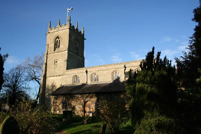
Church of St.andrew
Church of St.andrew — church in North East Lincolnshire, England, UK.
📷 3Lighthouses · Yorkshire & the Humber
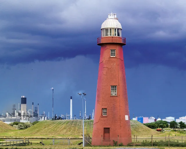
Killingholme High Lighthouse
Killingholme High Lighthouse — lighthouse in South Killingholme, North Lincolnshire, Lincolnshire, England, UK.
📷 3Lighthouses · Yorkshire & the Humber
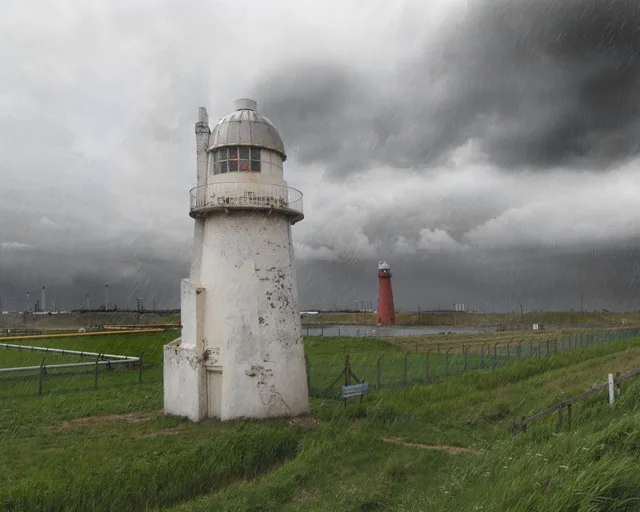
Killingholme South Low Lighthouse
Killingholme South Low Lighthouse — lighthouse in South Killingholme, North Lincolnshire, Lincolnshire, England, UK.
📷 3Lighthouses · Yorkshire & the Humber
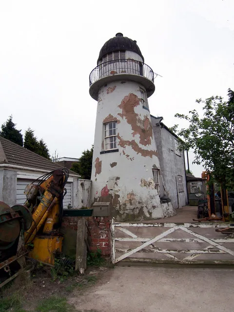
Killingholme North Low Lighthouse
Killingholme North Low Lighthouse — lighthouse in South Killingholme, North Lincolnshire, Lincolnshire, England, UK.
📷 5Museums · Yorkshire & the Humber
Immingham
Immingham — a museum in england-yorkshire, United Kingdom.
Where to eat & stay near South Killingholme
Places to stay
 📷 5
📷 5Hotels · Yorkshire & the Humber
The Amethyst Hotel
The Amethyst Hotel — a hotel in england yorkshire.
 📷 5
📷 5Hotels · Yorkshire & the Humber
Thornton Hunt Inn
Thornton Hunt Inn — a hotel in england yorkshire.
 📷 7
📷 7Hotels · Yorkshire & the Humber
Hampton by Hilton Humberside Airport
Hampton by Hilton Humberside Airport — a hotel in england yorkshire. 3-star. Brand: Hampton.
 📷 5
📷 5Campsites · Yorkshire & the Humber
Marshlands Alpacas
Marshlands Alpacas — a campsite in england yorkshire.
 📷 6
📷 6Hotels · Yorkshire & the Humber
Humber Royal Hotel
Humber Royal Hotel — a hotel in england yorkshire.
 📷 5
📷 5Caravan parks · Yorkshire & the Humber
Mealand Hill Caravan Park
Mealand Hill Caravan Park — a caravan park in england yorkshire.
Places to eat & drink
 📷 3
📷 3Historic pubs · Yorkshire & the Humber
Tivoli Tavern
Tivoli Tavern — Historic pub — listed building or notable heritage status.
 📷 5
📷 5Historic pubs · Yorkshire & the Humber
The Kingston Public House
The Kingston Public House in England Yorkshire, United Kingdom.
 📷 7
📷 7Historic pubs · Yorkshire & the Humber
The Old White Hart Inn
The Old White Hart Inn in England Yorkshire, United Kingdom.
 📷 5
📷 5Historic pubs · Yorkshire & the Humber
Earl De Grey Public House
Earl De Grey Public House in England Yorkshire, United Kingdom.
 📷 6
📷 6Historic pubs · Yorkshire & the Humber
Vauxhall Tavern Public House
Vauxhall Tavern Public House in England Yorkshire, United Kingdom.
 📷 5
📷 5Historic pubs · Yorkshire & the Humber
Prince's Dock Chambers And The Quayside Public House
Prince's Dock Chambers And The Quayside Public House in England Yorkshire, United Kingdom.
More places in this region
 📷 5
📷 5Historic churches · Yorkshire & the Humber
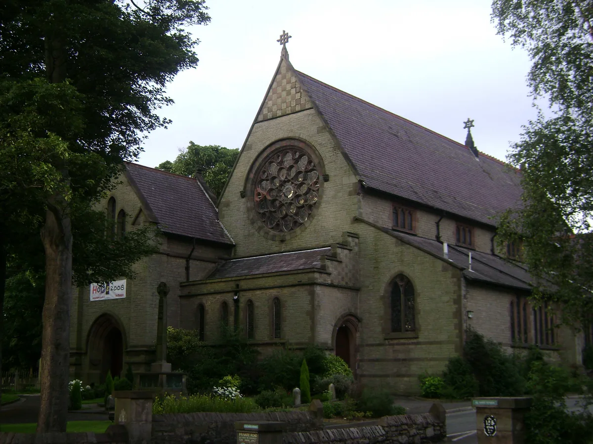
All Saints Church, Marple
All Saints Church, Marple — church in Marple, Greater Manchester, England, UK.
 📷 3
📷 3Historic churches · Yorkshire & the Humber
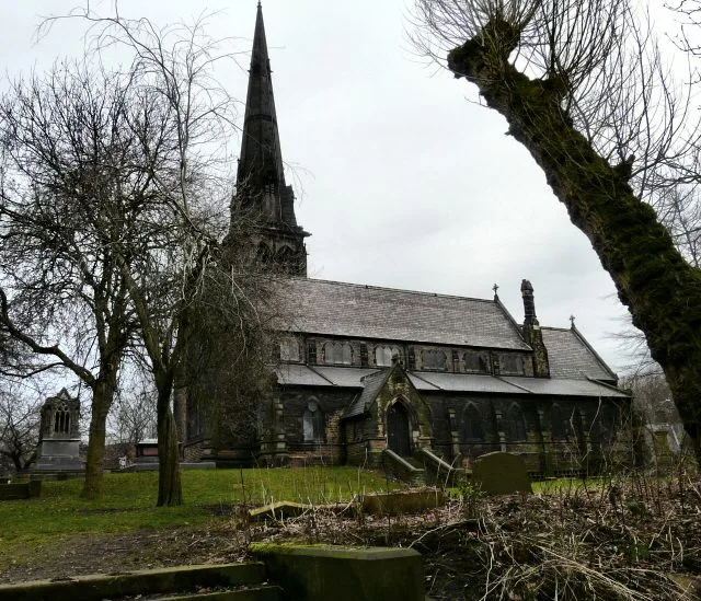
Brookfield Unitarian Church
Brookfield Unitarian Church — church in Manchester, UK.
 📷 5
📷 5Historic churches · Yorkshire & the Humber
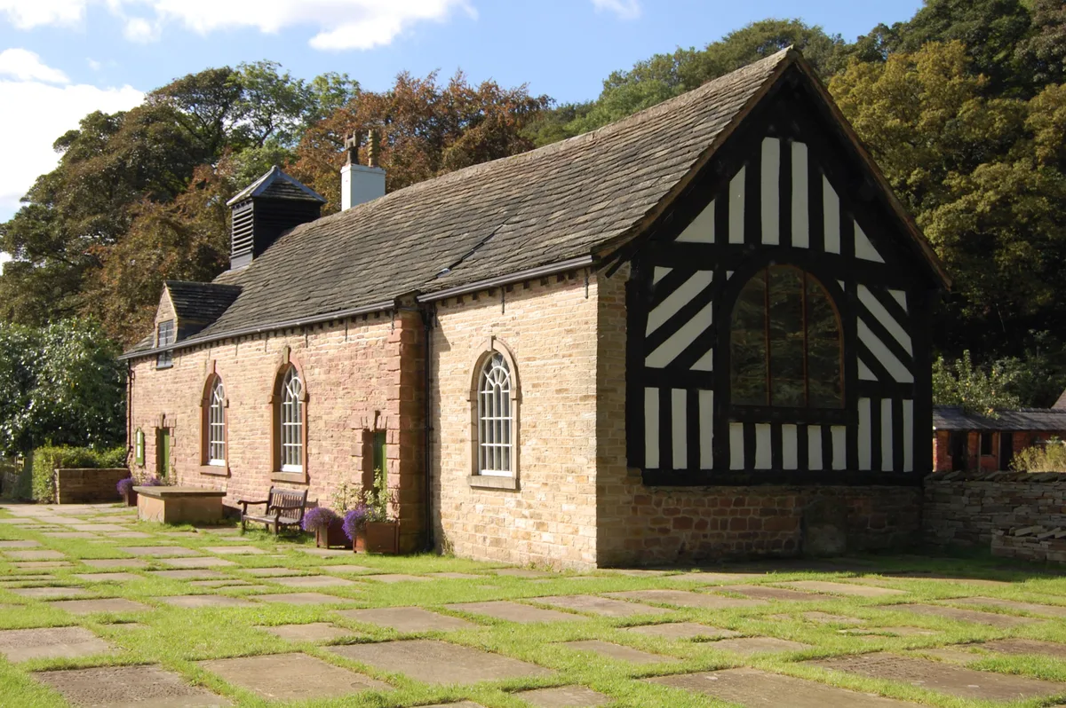
Chadkirk Chapel
Chadkirk Chapel — church and museum in Stockport, United Kingdom.
 📷 3
📷 3Historic churches · Yorkshire & the Humber
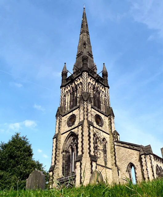
Christ Church, Heaton Norris
Christ Church, Heaton Norris — church in Stockport, UK.
Frequently asked questions
- Where is South Killingholme?
- South Killingholme is in Yorkshire, United Kingdom (postcode DN40 3DS), in the parish of South Killingholme.
- What is South Killingholme?
- South Killingholme is a village and civil parish in North Lincolnshire, England. The population of the civil parish at the 2011 census was 1,108. The parish was predominately agricultural and sparsely
- How do I get to South Killingholme?
- The nearest railway station is Habrough, about 3.6 km away. Drivers can use postcode DN40 3DS.
- Is South Killingholme a protected site?
- Yes — South Killingholme is part of the Humber Estuary - 2000480 SSSI Site of Special Scientific Interest and the Humber Estuary Ramsar wetland.
- Is South Killingholme free to visit?
- Yes, South Killingholme is free to enter.
- How do I get to South Killingholme?
- The nearest railway station is Habrough, about 3.6 km away. Drivers can navigate to postcode DN40 3DS.