
Windmills · Yorkshire & the Humber
South Duffield Windmill
In or near Brеighton.
South Duffield Windmill is a windmill in the United Kingdom.

Wikimedia Commons licence
Plan your visit
- Typical visit
- 30 min–1 h
- Nearest railway station
- Wressle · 3.9 km
- Free entry
- Family-friendly
- Dog-friendly
Getting there & planning your visit
To visit South Duffield Windmill, the nearest railway station is Wressle, located 3.9 km away. The postcode for sat-nav is YO8 6SX, and entry to the windmill is free.
About
South Duffield Windmill is a named windmill in the United Kingdom. Coordinates: 53.7933°, -0.9713°. This entry is part of The Great Britain Guide, a free, ad-free, open-data tourist directory.
Photo gallery
Heritage listing
South Duffield Windmill is a historic building in South Duffield, a village in North Yorkshire, in England. A windmill was first recorded in South Duffield in 1311, when Luke de Hemingborough gave it to Drax Priory. A windmill was again recorded in the 17th century. The current mill was built in about 1800, and was used for grinding cereal. It was in use until about 1930, and appears to have been used again during World War II, before becoming derelict. The building was Grade II listed in 1988. In the 2010s, it was converted into a house. The windmill is built of red brick, and consists of a circular tapering tower with four storeys.
From the Historic England List Entry under OGL v3.
Protected designations
- Site of Special Scientific Interest: River Derwent SSSI
Designations sourced from Natural England open data under OGL v3.
From the Wikipedia article
South Duffield Windmill is a historic building in South Duffield, a village in North Yorkshire, in England. A windmill was first recorded in South Duffield in 1311, when Luke de Hemingborough gave it to Drax Priory. A windmill was again recorded in the 17th century. The current mill was built in about 1800, and was used for grinding cereal. It was in use until about 1930, and appears to have been used again during World War II, before becoming derelict. The building was Grade II listed in 1988. In the 2010s, it was converted into a house. The windmill is built of red brick, and consists of a circular tapering tower with four storeys. In the bottom storey is a doorway to the east and windows in the other faces, and above are four windows in each storey, all with segmental heads.
Excerpt from Wikipedia under CC BY-SA 4.0. See the source article linked in Sources below.
- Coordinates
- 53.7933, -0.9713
- District
- North Yorkshire
- Parish
- Cliffe
- Postcode
- YO8 6SX
- Parliamentary constituency
- Selby
- Nearest railway station
- Wressle — 3.9 km
Sources
- osm: w1355968424 (ODbL)
- wikipedia: South Duffield Windmill (CC BY-SA 4.0)
Other places nearby

Ranch Caravan Park
Caravan parks · 1.5 km

Holmes House
Historic houses · 2.0 km

Menthorpe
Villages · 2.6 km

Cliffe Meadows Holiday Park
Caravan parks · 2.6 km

Hemingbrough
Villages · 2.8 km
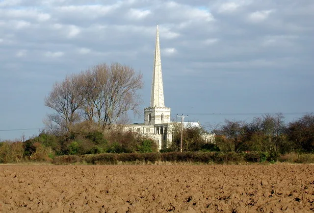
Church of St Mary the Virgin
Historic churches · 2.9 km

Brеighton
Towns & cities · 3.1 km

Gate Guardian
Memorials & monuments · 3.4 km

The Bakehouse
Historic houses · 3.4 km

The Bakehouse
Archaeological sites · 3.4 km
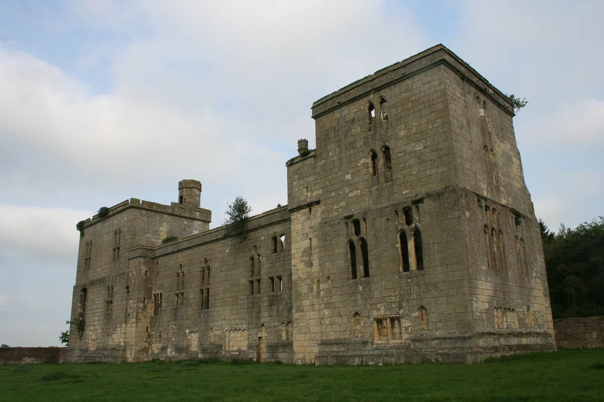
Wressle Castle
Hill forts · 3.4 km
Wressle Castle South Range
Castles · 3.4 km
Nearby
📷 5Caravan parks · Yorkshire & the Humber
Ranch Caravan Park
Ranch Caravan Park — a caravan park in england yorkshire.
📷 2Historic houses · Yorkshire & the Humber
Holmes House
Holmes House — house in Cliffe, Selby, England, UK.
📷 5📷 5Caravan parks · Yorkshire & the Humber
Cliffe Meadows Holiday Park
Cliffe Meadows Holiday Park — a caravan park in england yorkshire.
📷 5📷 3Historic churches · Yorkshire & the Humber
Church of St Mary the Virgin
Church of St Mary the Virgin — Grade I listed church in Hemingbrough, North Yorkshire, England, UK.
Where to eat & stay near South Duffield Windmill
Places to stay
📷 5Caravan parks · Yorkshire & the Humber
Ranch Caravan Park
Ranch Caravan Park — a caravan park in england yorkshire.
📷 5Caravan parks · Yorkshire & the Humber
Cliffe Meadows Holiday Park
Cliffe Meadows Holiday Park — a caravan park in england yorkshire.
 📷 5
📷 5Campsites · Yorkshire & the Humber
South Newlands Farm
South Newlands Farm — a campsite in england yorkshire. Brand: Camping and Caravannig Club.
 📷 5
📷 5
Caravan parks · Yorkshire & the Humber
Approach Farm Caravan Site
Approach Farm Caravan Site — a caravan park in england yorkshire.
 📷 3
📷 3Caravan parks · Yorkshire & the Humber
Hollicars Holiday Park
Hollicars Holiday Park — a caravan park in england yorkshire.
Places to eat & drink
 📷 7
📷 7Historic pubs · Yorkshire & the Humber
The Plough Inn
The Plough Inn in England Yorkshire, United Kingdom.
 📷 4
📷 4Historic pubs · Yorkshire & the Humber
The Royal
The Royal — Historic pub — listed building or notable heritage status.
 📷 7
📷 7Restaurants · Yorkshire & the Humber
The Lowther Hotel
The Lowther Hotel — a restaurant in england yorkshire.
 📷 5
📷 5Historic pubs · Yorkshire & the Humber
The Blacksmith Arms
The Blacksmith Arms in England Yorkshire, United Kingdom.
 📷 5
📷 5Cafés · Yorkshire & the Humber
Rowntree Park Reading Café
Rowntree Park Reading Café — a café in england yorkshire.
 📷 5
📷 5Historic pubs · Yorkshire & the Humber
Golden Fleece Inn, York
Golden Fleece Inn, York in England Yorkshire, United Kingdom.
More windmills in this region
 📷 5
📷 5Windmills · Yorkshire & the Humber
The Murder Stone: a standing stone 150m north west of Cornfield Farm
The Murder Stone: a standing stone 150m north west of Cornfield Farm — a post mill in england-west-midlands, United Kingdom.
 📷 3
📷 3Windmills · Yorkshire & the Humber
Askham Richard Windmill
Askham Richard Windmill is a windmill in the United Kingdom.
 📷 3
📷 3Windmills · Yorkshire & the Humber
Bainton Windmill
Bainton Windmill is a windmill in the United Kingdom.
 📷 5
📷 5Windmills · Yorkshire & the Humber
Beacon Windmill
Beacon Windmill is a windmill in the United Kingdom.
Frequently asked questions
- Where is South Duffield Windmill?
- South Duffield Windmill is in Yorkshire, United Kingdom (postcode YO8 6SX), in the parish of Cliffe.
- What is South Duffield Windmill?
- South Duffield Windmill is a windmill in the United Kingdom.
- How do I get to South Duffield Windmill?
- The nearest railway station is Wressle, about 3.9 km away. Drivers can use postcode YO8 6SX.
- Is South Duffield Windmill a listed building?
- South Duffield Windmill is officially recognised as Grade II listed building listed.
- Is South Duffield Windmill a protected site?
- Yes — South Duffield Windmill is part of the River Derwent SSSI Site of Special Scientific Interest.
- Is South Duffield Windmill free to visit?
- Yes, South Duffield Windmill is free to enter.
- How do I get to South Duffield Windmill?
- The nearest railway station is Wressle, about 3.9 km away. Drivers can navigate to postcode YO8 6SX.