
Canals · South West England
Somerset Coal Canal
In or near Priston.
Somerset Coal Canal — canal in Somerset, England.

Wikimedia Commons contributors — see linked file page for photographer and licence licence

Plan your visit
- Typical visit
- 1 h–2 h
- Nearest railway station
- Oldfield Park · 5.4 km
- Free entry
- Dog-friendly
Getting there & planning your visit
To visit the Somerset Coal Canal, the nearest railway station is Oldfield Park, which is 5.4 km away. The postcode for navigation is BA2 8BN. Entry to the canal is free.
About
Somerset Coal Canal is a canal in the United Kingdom. Wikidata describes it as: "canal in Somerset, England". Coordinates: 51.3340°, -2.4090°.
Photo gallery
See it from the streetimagery from 2023
Imagery © Mapillary contributors, CC BY-SA 4.0
Protected designations
- Area of Outstanding Natural Beauty: Cotswolds
Designations sourced from Natural England open data under OGL v3.
From the Wikipedia article
The Somerset Coal Canal (originally known as the Somersetshire Coal Canal) was a narrow canal in England, built around 1800. Its route began in basins at Paulton and Timsbury, ran to nearby Camerton, over two aqueducts at Dunkerton, through a tunnel at Combe Hay, then via Midford and Monkton Combe to Limpley Stoke where it joined the Kennet and Avon Canal. This link gave the Somerset coalfield (which at its peak contained 80 collieries) access east toward London. The longest arm was 10.6 miles (17.1 km) long with 23 locks. From Midford an arm also ran via Writhlington to Radstock, with a tunnel at Wellow. A feature of the canal was the variety of methods used at Combe Hay to overcome height differences between the upper and lower reaches: initially by the use of caisson locks; when this method failed an inclined plane trackway; and finally a flight of 22 conventional locks. The Radstock arm was never commercially successful and was replaced first with a tramway in 1815 and later incorporated into the Somerset and Dorset Joint Railway. The Paulton route flourished for nearly 100 years and was very profitable, carrying high tonnages of coal for many decades; this canal helped carry the fuel that powered the nearby city of Bath. By the 1880s, coal production declined as the various pits either ran out of coal or were flooded and then closed. In 1896 the main pump at Dunkerton, which maintained the canal water level, failed. The resultant lowering in level meant that only small loads could be transported, which reduced revenue, thus the canal company could not afford a replacement pump. The canal became disused after 1898 and officially closed in 1902, being sold off to the various railway companies who were expanding their networks. In September 2014, restoration work began on the canal section from Paulton to Radford, with the aim of restoring the northern branch from Paulton for navigation in the future. The largest canal drydock in England has been revealed at…
Excerpt from Wikipedia under CC BY-SA 4.0. See the source article linked in Sources below.
Background
History
]] The Somerset coalfield had been producing coal since at least 1437, when the main source was a pit at Kilmersdon. By the early 1500s, additional pits had been opened at Clutton, High Littleton and Stratton-on-the-Fosse. There were also mines at Farrington Gurney, Midsomer Norton and Paulton by 1678, but no mining activity at Radstock. This changed in 1793, when an exploratory shaft found coal seams at varying depths below the village, which led to a flurry of new mines opening at Dunkerton, Foxcote, Priston, Timsbury and Writhlington. For all of the pits, transport was a major problem because of the poor state of the roads. The cost of getting the coal to market, and the threat of…
Architecture
In May 1795, tenders were invited for the first sections to be built from Paulton to Hopyard, Camerton and from Radstock Bridge to Peglinch in Wellow. An estimate by the contractor Houghton & Son from Shropshire was accepted and work began. Part of the Paulton route was sufficiently advanced that five boats carried coal from Dunkerton to Camerton on 1 October 1798, some of which was then delivered by road to Bath. On the northern branch to Paulton, there was a difference in levels of 135 ft to be overcome, and this was concentrated at Combe Hay Locks. Rather than use a flight of around 23 conventional locks, the committee elected to use vertical boat lifts. Perkins and Palmer had seen…
Description
When the Radstock branch was authorised, it was to terminate at Welton Hollow, near Midsomer Norton, where there was a colliery. However, when construction began, the first contract was for a 2 mi stretch from the Waldegrave Arms in Radstock to Peglinch (now known at Paglinch), starting around 0.7 mi to the east of Welton Hollow. Further contracts were issued to extend the canal eastwards to Wellow and Twinhoe, but tenders do not appear to have been advertised for the final section westwards. The first contract included the construction of a road bridge over the canal a very short distance from where it terminated, suggesting that the western extension was still proposed at the time. The…
Sourced from Wikipedia under CC BY-SA 4.0.
- Coordinates
- 51.3340, -2.4090
- District
- Bath and North East Somerset
- Parish
- Dunkerton and Tunley
- Postcode
- BA2 8BN
- Parliamentary constituency
- Frome and East Somerset
- Established
- 1805
- Nearest railway station
- Oldfield Park — 5.4 km
Sources
- wikidata: Q7559833 (CC0)
- wikipedia: Somerset Coal Canal (CC BY-SA 4.0)
- commons: Dry Canal Locks at Combe Hay.JPG (CC BY-SA 4.0)
Other places nearby
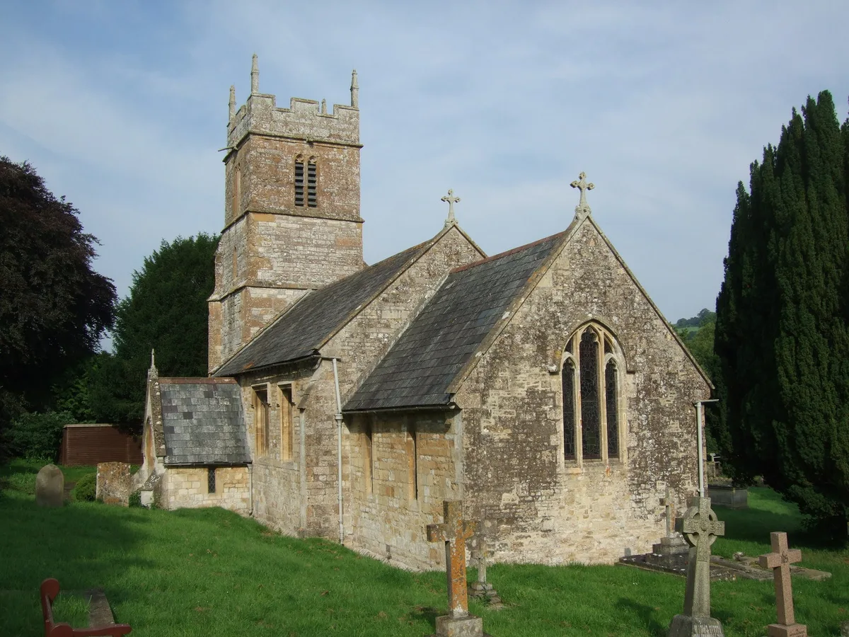
Church of All Saints, Dunkerton
Historic churches · 0.5 km

Duncorn Hill
Mountains & hills · 1.3 km

The Wheatsheaf
Historic pubs · 1.8 km
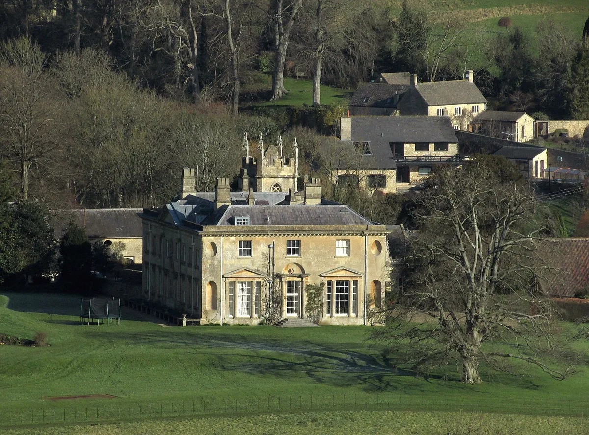
Combe Hay Manor
Stately homes · 2.0 km

Duncorn Hill
Vineyards · 2.1 km

Huddox Hill
Mountains & hills · 2.1 km
Huddox Hill
Mountains & hills · 2.2 km

Priston
Towns & cities · 2.4 km
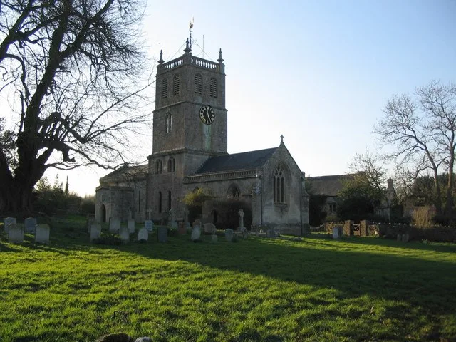
Church of St Luke and St Andrew, Priston
Historic churches · 2.5 km
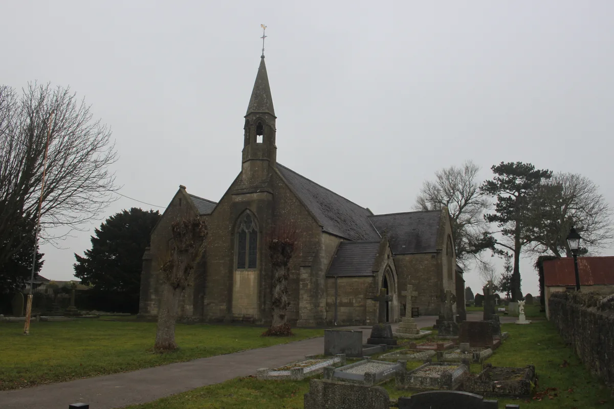
St John's Church, Peasedown St John
Historic churches · 2.6 km

Bridge Over Canal,25 Yards East Of Caisson House
Historic bridges · 2.7 km

Fox And Badger Public House
Historic pubs · 2.7 km
Nearby
📷 5Historic churches · South West England
Church of All Saints, Dunkerton
Church of All Saints, Dunkerton — church in Bath and North East Somerset, England, UK.
📷 5Mountains & hills · South West England
Duncorn Hill
Duncorn Hill — mountain in england south east. Elevation: 178 m.
📷 5Historic pubs · South West England
The Wheatsheaf
The Wheatsheaf in England South West, United Kingdom.
📷 5Stately homes · South West England
Combe Hay Manor
Combe Hay Manor — Grade I listed manor house in Combe Hay, Bath and North East Somerset, England, UK.
📷 5Vineyards · South West England
Duncorn Hill
Duncorn Hill — a UK vineyard in england south east, producing English or Welsh wine from cool-climate grape varieties.
📷 5Mountains & hills · South West England
Huddox Hill
Huddox Hill — a hill or mountain in england south east.
Where to eat & stay near Somerset Coal Canal
Places to stay
 📷 5
📷 5Campsites · South West England
Centenary Wood Campsite
Centenary Wood Campsite — a campsite in england south east.
 📷 5
📷 5B&Bs · South West England
Bloomfield House
Bloomfield House — a bed-and-breakfast in england south east.
 📷 5
📷 5Hotels · South West England
Wentworth House
Wentworth House — a hotel in england south east.
 📷 5
📷 5Hotels · South West England
The Radstock Hotel
The Radstock Hotel — a hotel in england south east.
 📷 7
📷 7B&Bs · South West England
Dorian House
Dorian House — a bed-and-breakfast in england south east.
📷 7B&Bs · South West England
Oldfields House
Oldfields House — a bed-and-breakfast in england south east.
Places to eat & drink
📷 5Historic pubs · South West England
The Wheatsheaf
The Wheatsheaf in England South West, United Kingdom.
📷 7Historic pubs · South West England
Fox And Badger Public House
Fox And Badger Public House in England South West, United Kingdom.
 📷 5
📷 5Historic pubs · South West England
Apple Tree Inn
Apple Tree Inn in England South West, United Kingdom.
 📷 5
📷 5 📷 5
📷 5Historic pubs · South West England
Cross Keys Inn
Cross Keys Inn in England South West, United Kingdom.
 📷 5
📷 5Cafés · South West England
The Darling Deli Kitchen
The Darling Deli Kitchen — a café in england south east.
More places in this region
 📷 5
📷 5Canals · South West England
Kennet and Avon Canal
Kennet and Avon Canal — South-England east-west coastal linking waterway via London, Reading & Bristol.
 📷 5
📷 5Canals · South West England
Weston Cut
Weston Cut — navigation cut on the River Avon in Bath, Somerset, England, UK.
 📷 5
📷 5 📷 5
📷 5Canals · South West England
Bridgwater and Taunton Canal
Bridgwater and Taunton Canal — Canal in south-west England.
Frequently asked questions
- Where is Somerset Coal Canal?
- Somerset Coal Canal is in South-West England, United Kingdom (postcode BA2 8BN), in the parish of Dunkerton and Tunley.
- What is Somerset Coal Canal?
- Somerset Coal Canal — canal in Somerset, England.
- How do I get to Somerset Coal Canal?
- The nearest railway station is Oldfield Park, about 5.4 km away. The nearest town is Priston. Drivers can use postcode BA2 8BN.
- When was Somerset Coal Canal built?
- Built or established in 1805.
- Is Somerset Coal Canal a protected site?
- Yes — Somerset Coal Canal is part of the Cotswolds National Landscape (AONB).
- Is Somerset Coal Canal free to visit?
- Yes, Somerset Coal Canal is free to enter.
- How do I get to Somerset Coal Canal?
- The nearest railway station is Oldfield Park, about 5.4 km away. Drivers can navigate to postcode BA2 8BN.