Natural landmarks · Scottish Highlands
Slochd Summit
Slochd Summit — summit in Highland, Scotland, UK.

Wikimedia Commons contributors — see linked file page for photographer and licence licence
Plan your visit
- Typical visit
- 1 h–2 h
- Nearest railway station
- Carrbridge · 7.0 km
- Free entry
- Dog-friendly
About
Slochd Summit is a named natural landmark in the United Kingdom. Wikidata describes it as: "summit in Highland, Scotland, UK". Coordinates: 57.3064°, -3.9333°.
Photo gallery
From the Wikipedia article
The Slochd Summit (; Scottish Gaelic: An Sloc) is a mountain pass on the A9 road and the Highland Main Line Railway in the Scottish Highlands between Inverness and Aviemore. An old military road also goes through the pass. National Cycle Network route 7 also goes over the summit, largely following the old A9. Both the road and the railway have signs marking the spot - the A9 is at a height of 1,328 feet (405 m), while the railway reaches 1,315 feet (401 m). The Slochd Summit is the second highest place on the route from Inverness to Perth - the Pass of Drumochter at 1,500 feet (460 m) is higher and bleaker.
Excerpt from Wikipedia under CC BY-SA 4.0. See the source article linked in Sources below.
- Coordinates
- 57.3064, -3.9333
- Nearest railway station
- Carrbridge — 7 km
Sources
- wikidata: Q7541244 (CC0)
- wikipedia: Slochd Summit (CC BY-SA 4.0)
- commons: The A9, Slochd Summit - geograph.org.uk - 578026.jpg (CC BY-SA 4.0)
Other places nearby
Loading nearby places…
Nearby
 📷 5
📷 5Mountains & hills · Scottish Highlands
Carn nam Bain-tighearna
Carn nam Bain-tighearna — a hill or mountain in scotland highlands.
 📷 5
📷 5Historic bridges · Scottish Highlands
Ortunan Bridge, Slochd
Ortunan Bridge, Slochd — category C listed building-listed bridge in scotland-highlands, United Kingdom.
 📷 5
📷 5Hostels · Scottish Highlands
Slochd Mhor Lodge
Slochd Mhor Lodge — a hostel in scotland highlands.
 📷 5
📷 5Mountains & hills · Scottish Highlands
Carn na Lair
Carn na Lair — a hill or mountain in scotland highlands.
📷 5Mountains & hills · Scottish Highlands
Càrn na Laìr
Càrn na Laìr — mountain in scotland highlands. Elevation: 596 m.
 📷 5
📷 5Mountains & hills · Scottish Highlands
Carn Bad nan Luibhean
Carn Bad nan Luibhean — a hill or mountain in scotland highlands.
Where to eat & stay near Slochd Summit
Places to stay
📷 5Hostels · Scottish Highlands
Slochd Mhor Lodge
Slochd Mhor Lodge — a hostel in scotland highlands.
 📷 5
📷 5Caravan parks · Scottish Highlands
Boat of Garten Holiday Park
Boat of Garten Holiday Park — a caravan park in scotland highlands.
📷 5Hostels · Scottish Highlands
Fraoch Lodge
Fraoch Lodge — a hostel in scotland highlands.
 📷 5
📷 5Campsites · Scottish Highlands
Oakwood Caravan & Camping Park
Oakwood Caravan & Camping Park — a campsite in scotland highlands.
 📷 5
📷 5Caravan parks · Scottish Highlands
Clury Croft Airigh
Clury Croft Airigh — a caravan park in scotland highlands.
 📷 5
📷 5Hostels · Scottish Highlands
Aviemore Youth Hostel
Aviemore Youth Hostel — a hostel in scotland highlands.
More natural landmarks in this region
 Flagship📷 3
Natural landmarks · Scottish Highlands
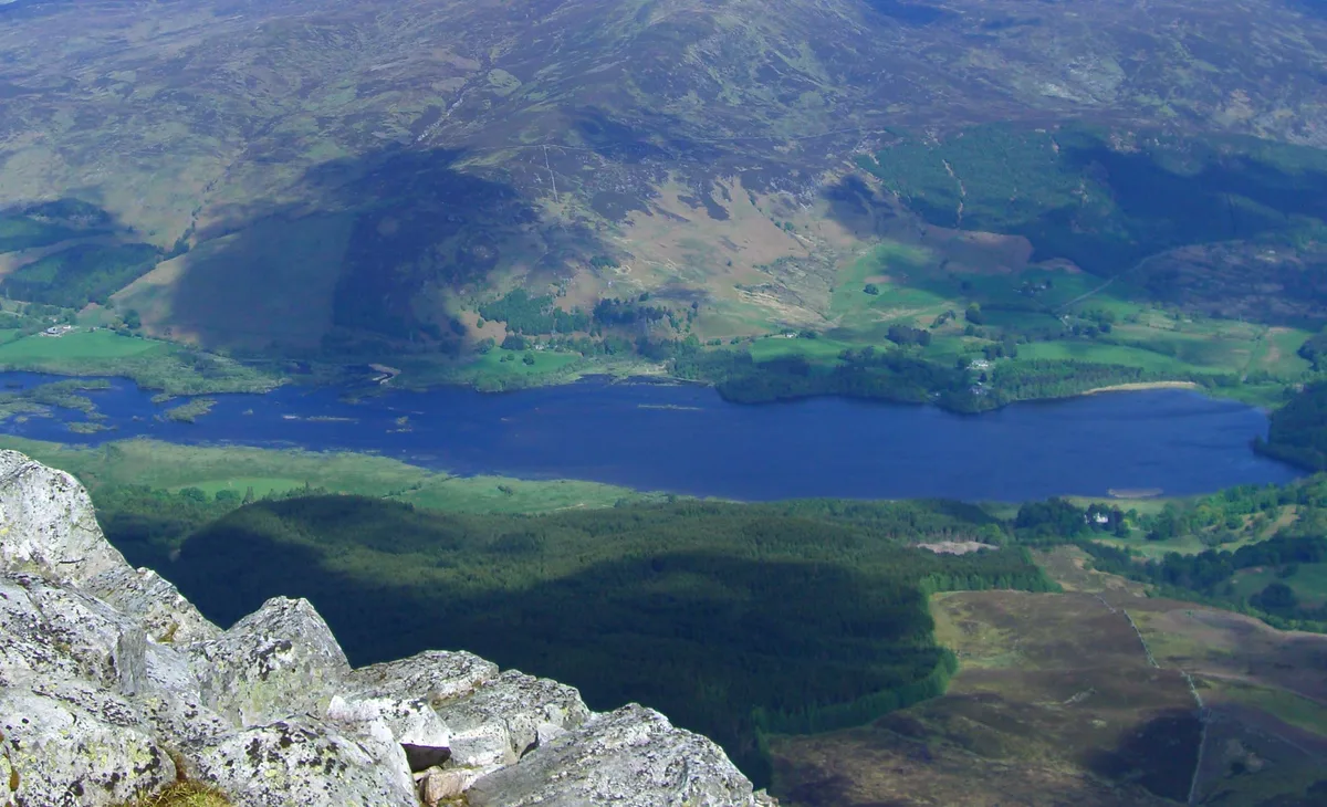
Dunalastair Water
Dunalastair Water — lake in Perth and Kinross, Scotland, UK, on the River Tummel.
 Flagship📷 3
Natural landmarks · Scottish Highlands
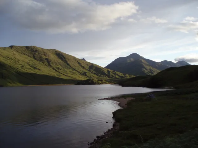
Loch Arkaig
Loch Arkaig — lake in Highland, Scotland, UK, outflows east to River Arkaig.
 Flagship📷 3
Natural landmarks · Scottish Highlands
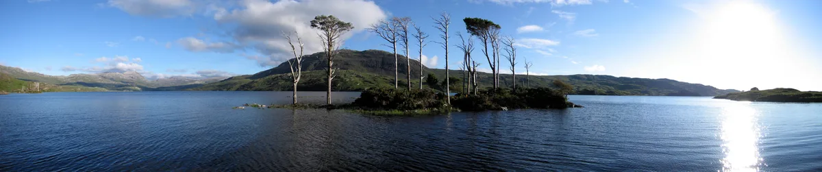
Loch Assynt
Loch Assynt — lake in Highland, Scotland, UK, outflows to the River Inver and Loch na Garbh Uidhe.
 Flagship📷 3
Natural landmarks · Scottish Highlands
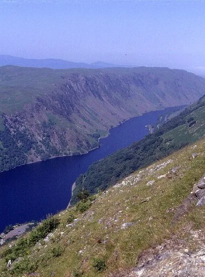
Loch Awe
Loch Awe — lake in Argyll and Bute, Scotland, UK, outflows to the River Awe.
Frequently asked questions
- Where is Slochd Summit?
- Slochd Summit is in the Scottish Highlands, United Kingdom.
- What is Slochd Summit?
- Slochd Summit — summit in Highland, Scotland, UK.
- How do I get to Slochd Summit?
- The nearest railway station is Carrbridge, about 7.0 km away. Its coordinates are 57.3064°, -3.9333°.
- Is Slochd Summit free to visit?
- Yes, Slochd Summit is free to enter.
- How do I get to Slochd Summit?
- The nearest railway station is Carrbridge, about 7.0 km away.