Natural landmarks · Scottish Lowlands
Skyreburn Bay
Skyreburn Bay — a natural feature in scotland lowlands.

Ann Cook — CC BY-SA 2.0 via Wikimedia Commons licence
Plan your visit
- Typical visit
- 1 h–2 h
About
Skyreburn Bay is a named natural feature in scotland lowlands, recorded in the GeoNames UK gazetteer. British landmarks of this type are typically marked on Ordnance Survey maps and recorded in the national gazetteer for cartographic and navigational reference. Coordinates and feature classification are sourced from the GeoNames open dataset.
Photo gallery
Place summary
Skyreburn Bay is a natural landmark located in the Scottish Lowlands. This coastal area features striking scenery and diverse marine life. Visitors can explore the shoreline and enjoy the surrounding landscapes typical of the region. The bay offers opportunities for wildlife observation and leisurely walks along the coast.
AI-generated from the structured facts on this page (operator, designation, listing, era). Not a substitute for visiting.
- Coordinates
- 54.8633, -4.2194
Sources
- manual: geonames-11103572 (CC BY 4.0)
Other places nearby
Loading nearby places…
Nearby
 📷 3
📷 3Historic houses · Scottish Lowlands
Ardwall House
Ardwall House — house in Dumfries and Galloway, Scotland, UK.
 📷 3
📷 3Archaeological sites · Scottish Lowlands
Boreland of Anwoth Motte
Boreland of Anwoth Motte — a archaeological in scotland-lowlands, United Kingdom.
 📷 5
📷 5Natural landmarks · Scottish Lowlands
Chapel Bay
Chapel Bay — a natural feature in scotland lowlands.
 📷 3
📷 3Castles · Scottish Lowlands
Cardoness Castle
Cardoness Castle — a castle in scotland-lowlands, United Kingdom.
 📷 5
📷 5Literary houses · Scottish Lowlands
Cardoness Castle
Cardoness Castle — a literary house museum in scotland lowlands.
 📷 5
📷 5Natural landmarks · Scottish Lowlands
Fleet Bay
Fleet Bay — a natural feature in scotland lowlands.
Where to eat & stay near Skyreburn Bay
Places to stay
 📷 5
📷 5Caravan parks · Scottish Lowlands
Sandgreen Caravan Park
Sandgreen Caravan Park — a caravan park in scotland lowlands.
 📷 5
📷 5Campsites · Scottish Lowlands
Anwoth Caravan Site
Anwoth Caravan Site — a campsite in scotland lowlands.
 📷 5
📷 5Campsites · Scottish Lowlands
Newton Farm Campsite
Newton Farm Campsite — a campsite in scotland lowlands.
 📷 5
📷 5Caravan parks · Scottish Lowlands
Mossyard Caravan Park
Mossyard Caravan Park — a caravan park in scotland lowlands.
 📷 5
📷 5Caravan parks · Scottish Lowlands
Auchenlarie Holiday Park
Auchenlarie Holiday Park — a caravan park in scotland lowlands.
 📷 5
📷 5Caravan parks · Scottish Lowlands
Seaward Caravan Park
Seaward Caravan Park — a caravan park in scotland lowlands.
Places to eat & drink
 📷 5
📷 5Historic pubs · Scottish Lowlands
Masonic Arms, 19 Castle Street, Kirkcudbright
Masonic Arms, 19 Castle Street, Kirkcudbright in Scotland Lowlands, United Kingdom.
 📷 5
📷 5Historic pubs · Scottish Lowlands
The Harbour Inn, 18, 19 South Crescent, Garlieston
The Harbour Inn, 18, 19 South Crescent, Garlieston in Scotland Lowlands, United Kingdom.
 📷 5
📷 5Historic pubs · Scottish Lowlands
17 North Main Street, Wigtown
17 North Main Street, Wigtown in Scotland Lowlands, United Kingdom.
 📷 5
📷 5Historic pubs · Scottish Lowlands
The Old Smugglers Inn, 13 Main Street, 9, Auchencairn
The Old Smugglers Inn, 13 Main Street, 9, Auchencairn in Scotland Lowlands, United Kingdom.
More natural landmarks in this region
 Flagship📷 3
Natural landmarks · Scottish Lowlands
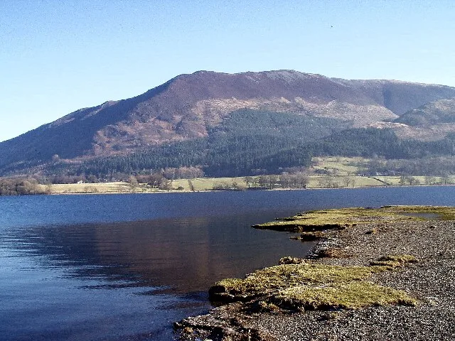
Bassenthwaite Lake
Bassenthwaite Lake — lake in Cumbria, England, UK.
 Flagship📷 3
Natural landmarks · Scottish Lowlands
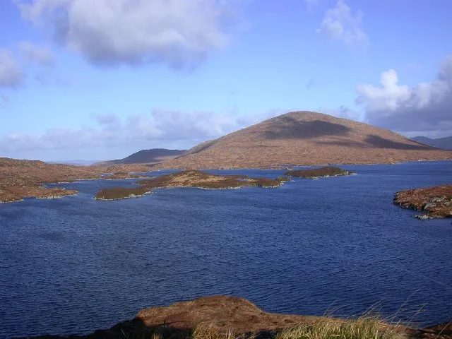
Loch Enoch
Loch Enoch — lake in Dumfries and Galloway, Scotland, UK.
 📷 5
📷 5Natural landmarks · Scottish Lowlands
Annandale Water
Annandale Water — lake in Dumfries and Galloway, Scotland, UK.
 📷 3
📷 3Natural landmarks · Scottish Lowlands
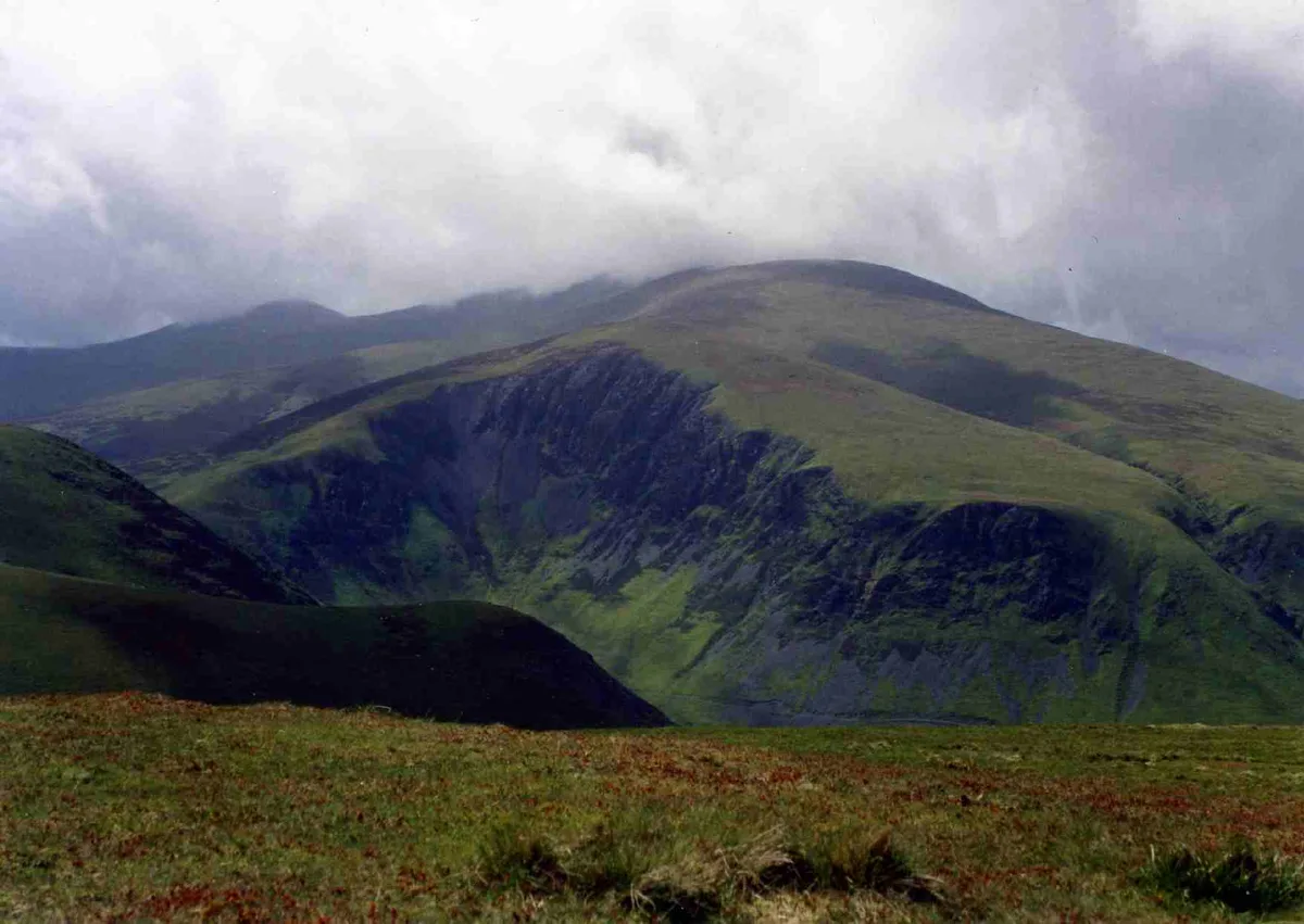
Bakestall
Bakestall — mountain in United Kingdom.
Frequently asked questions
- Where is Skyreburn Bay?
- Skyreburn Bay is in the Scottish Lowlands, United Kingdom.
- What is Skyreburn Bay?
- Skyreburn Bay — a natural feature in scotland lowlands.
- How do I get to Skyreburn Bay?
- Its coordinates are 54.8633°, -4.2194°.