
Mountains & hills · Yorkshire & the Humber
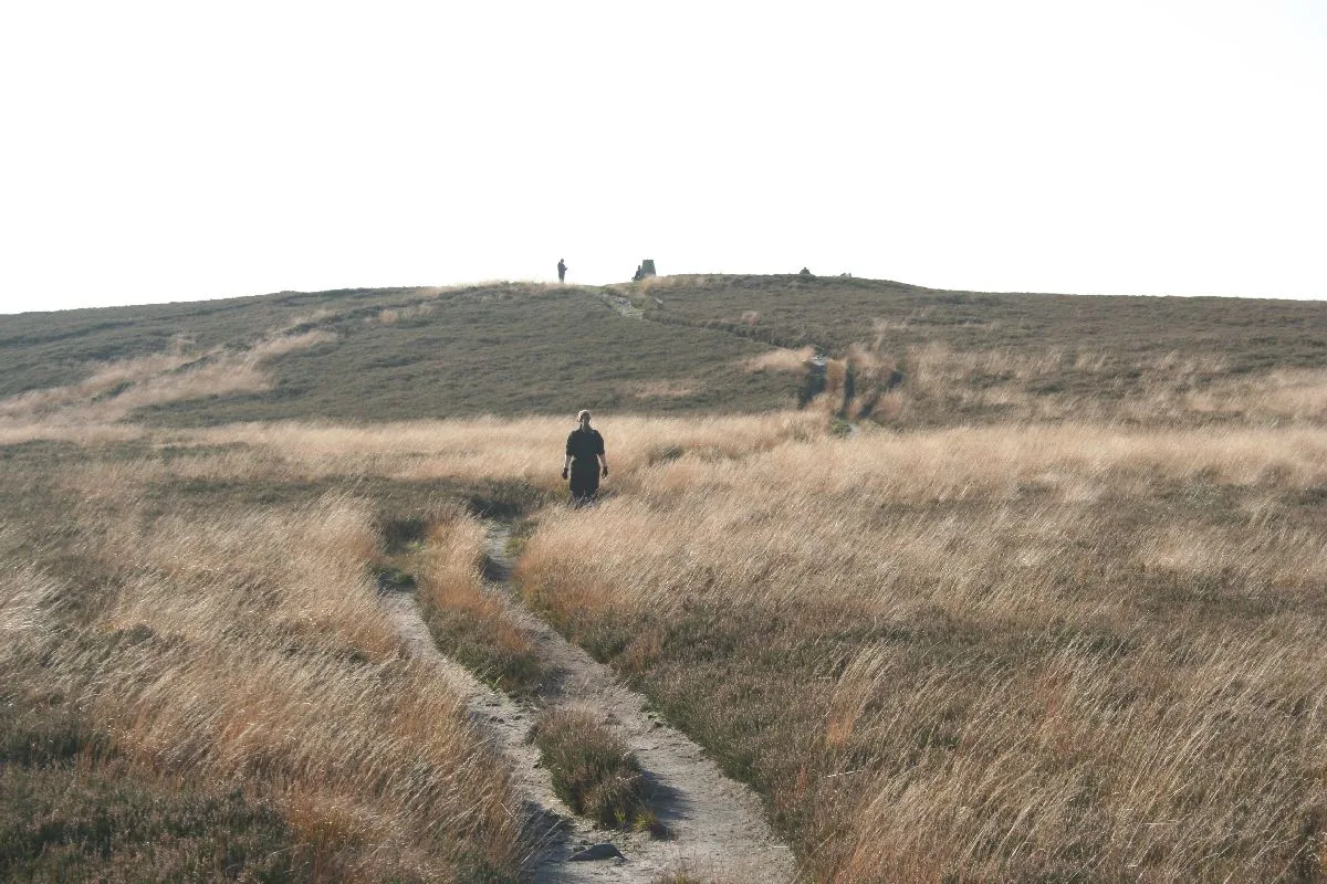
Skipton Hill
In or near South Kilvington.
Skipton Hill — mountain in england yorkshire. Elevation: 170 m.

T Eyre — CC BY-SA 2.0 via Wikimedia Commons licence

Plan your visit
- Typical visit
- 3 h–8 h
- Best time of year
- Late spring – early autumn (May–Oct)
- Nearest railway station
- Thirsk · 9.2 km
- Dog-friendly
About
Skipton Hill is a mountain located in england yorkshire. Elevation: 170 m. A named British peak recorded in OpenStreetMap. Peaks are typically named on Ordnance Survey 1:50k mapping.
Photo gallery
Place summary
Skipton Hill is a mountain located in Yorkshire. It offers panoramic views of the surrounding landscape, making it a notable landmark in the area. The terrain is suitable for various outdoor activities, attracting walkers and nature enthusiasts. The hill’s natural features provide a raw, unspoiled environment for exploration.
AI-generated from the structured facts on this page (operator, designation, listing, era). Not a substitute for visiting.
- Coordinates
- 54.2502, -1.2372
- District
- North Yorkshire
- Parish
- Thirlby
- Postcode
- YO7 2DQ
- Parliamentary constituency
- Thirsk and Malton
- Nearest railway station
- Thirsk — 9.2 km
Sources
- osm: n4605555527 (ODbL)
Other places nearby

Thirlby
Villages · 1.0 km

Whitestone Cliff
Climbing & bouldering crags · 1.1 km
Fairies' Parlour
Caves · 1.1 km

Boltby Scar promontory fort and two round barrows
Vineyards · 1.7 km

Fort Trail
Mountain bike trails · 1.9 km

Battle of Byland
Memorials & monuments · 2.0 km

Sutton
Villages · 2.1 km

Long Hill
Mountains & hills · 2.3 km

Hood Hill
Mountains & hills · 2.7 km
Hood Hill motte and bailey
Literary houses · 2.8 km
Hood Hill
Mountains & hills · 2.8 km
Hood Castle
Castles · 2.8 km
Nearby
📷 5📷 5Climbing & bouldering crags · Yorkshire & the Humber
Whitestone Cliff
Whitestone Cliff — a climbing crag in england yorkshire.
📷 5Vineyards · Yorkshire & the Humber
Boltby Scar promontory fort and two round barrows
Boltby Scar promontory fort and two round barrows — a UK vineyard in england yorkshire, producing English or Welsh wine from cool-climate grape varieties.
📷 5Mountain bike trails · Yorkshire & the Humber
Fort Trail
Fort Trail — a mtb trail in england yorkshire.
📷 3Memorials & monuments · Yorkshire & the Humber
Battle of Byland
Battle of Byland — a memorial in Yorkshire & the Humber, United Kingdom.
Where to eat & stay near Skipton Hill
Places to stay
 📷 5
Caravan parks · Yorkshire & the Humber
Brook Farm Park
Brook Farm Park — a caravan park in england yorkshire.
 📷 5
Caravan parks · Yorkshire & the Humber
York House Holiday Park
York House Holiday Park — a caravan park in england yorkshire.
 📷 5
 📷 5
Campsites · Yorkshire & the Humber
Church Farm Camping
Church Farm Camping — a campsite in england yorkshire.
 📷 5
Caravan parks · Yorkshire & the Humber
Scenecliffe Caravan Park
Scenecliffe Caravan Park — a caravan park in england yorkshire.
 📷 5
Hotels · Yorkshire & the Humber
White Horse Lodge Hotel
White Horse Lodge Hotel — a hotel in england yorkshire.
Places to eat & drink
 📷 7
Historic pubs · Yorkshire & the Humber
The Golden Fleece Hotel
The Golden Fleece Hotel in England Yorkshire, United Kingdom.
 📷 6
Historic pubs · Yorkshire & the Humber
The Royal Public House
The Royal Public House in England Yorkshire, United Kingdom.
 📷 5
Historic pubs · Yorkshire & the Humber
The Abbey Inn
The Abbey Inn in England Yorkshire, United Kingdom.
 📷 5
Historic pubs · Yorkshire & the Humber
Crown And Anchor Public House
Crown And Anchor Public House in England Yorkshire, United Kingdom.
 📷 5
Restaurants · Yorkshire & the Humber
The Stapylton Arms
The Stapylton Arms — a restaurant in england yorkshire.
 📷 5
Historic pubs · Yorkshire & the Humber
Fauconberg Arms Inn
Fauconberg Arms Inn in England Yorkshire, United Kingdom.
More mountains in this region
 📷 3
 📷 5
Mountains & hills · Yorkshire & the Humber
Whaley Moor
Whaley Moor — a hill or mountain in england west midlands.
 📷 5
Mountains & hills · Yorkshire & the Humber
Idle Hill
Idle Hill — a hill or mountain in england west midlands.
 📷 5
Mountains & hills · Yorkshire & the Humber
Hollingworthhall Moor
Hollingworthhall Moor — a hill or mountain in england west midlands.
Frequently asked questions
- Where is Skipton Hill?
- Skipton Hill is in Yorkshire, United Kingdom (postcode YO7 2DQ), in the parish of Thirlby.
- What is Skipton Hill?
- Skipton Hill — mountain in england yorkshire. Elevation: 170 m.
- How do I get to Skipton Hill?
- The nearest railway station is Thirsk, about 9.2 km away. The nearest town is South Kilvington. Drivers can use postcode YO7 2DQ.
- How do I get to Skipton Hill?
- Drivers can navigate to postcode YO7 2DQ. It sits within the Thirsk and Malton parliamentary constituency.