Forests & woodlands · North East England
Sinderhope
In or near Hunstanworth.
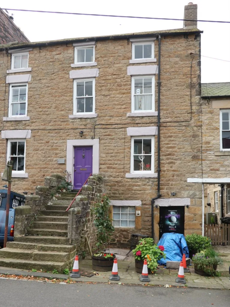
Sinderhope in England North East, United Kingdom.

Jay Pea — CC BY-SA 2.0 via Wikimedia Commons licence
Plan your visit
- Typical visit
- 1 h–3 h
- Free entry
- Family-friendly
- Dog-friendly
About
Sinderhope is a place of interest in England North East, United Kingdom — drawn from open-data sources for visitor reference. See the linked Wikipedia article for the full description.
Photo gallery
Protected designations
- Site of Special Scientific Interest: Allendale Moors SSSI
- Site of Special Scientific Interest: Hexhamshire Moors SSSI
- Area of Outstanding Natural Beauty: North Pennines
Designations sourced from Natural England open data under OGL v3.
From the Wikipedia article
Sinderhope is a hamlet situated on the east Allen Valley in south-west Northumberland. It is in the civil parish of Allendale. The population is spread over farms in an area approximately 25 square miles (65 km2). The population is around 80. The mainstay of employment is sheep-farming. Wildlife is plentiful with many examples of rare birds of Great Britain, such as the black grouse, Eurasian whimbrel and Eurasian curlew. The local beauty spot is a ford with wild flowers and a wood called Oldman Bottom, often mistakenly called "Old Man's Bottom". The whole area is part of the North Pennines Area of Outstanding Natural Beauty. The community centre was once a school for the area, but now serves as a venue for various local activities
Excerpt from Wikipedia under CC BY-SA 4.0. See the source article linked in Sources below.
- Coordinates
- 54.8580, -2.2430
- District
- Northumberland
- Parish
- Allendale
- Postcode
- NE47 9SH
- Parliamentary constituency
- Hexham
Sources
- wikidata: Q7522138 (CC0)
- wikipedia: Sinderhope (CC BY-SA 4.0)
Other places nearby

Studdon
Villages · 1.1 km

Bridge Over Sipton Burn On The Long Drag
Historic bridges · 1.6 km

Bridge Over River East Allen 20 Metres North-East Of St Peter's Church
Historic bridges · 3.0 km

Bridge Over Blaeberry Cleugh
Historic bridges · 3.2 km

Bridge Over Linn Burn
Historic bridges · 3.8 km

Hexhamshire Moors
Wildlife reserves · 3.9 km

Allendale Moors
Wildlife reserves · 4.1 km

Hartley Moor Top
Mountains & hills · 4.2 km

Allendale Town
National landscapes (AONB) · 4.3 km

Brownley Hill
Mountains & hills · 4.3 km

Green Hill
Mountains & hills · 4.4 km
Museum of Classic Sci-Fi
Museums · 4.4 km
Nearby
📷 5📷 3Historic bridges · North East England
Bridge Over Sipton Burn On The Long Drag
Bridge Over Sipton Burn On The Long Drag — Grade II listed building-listed bridge in scotland-lowlands, United Kingdom.
📷 3Historic bridges · North East England
Bridge Over River East Allen 20 Metres North-East Of St Peter's Church
Bridge Over River East Allen 20 Metres North-East Of St Peter's Church — Grade II listed building-listed bridge in scotland-lowlands, United Kingdom.
📷 3Historic bridges · North East England
Bridge Over Blaeberry Cleugh
Bridge Over Blaeberry Cleugh — Grade II listed building-listed bridge in scotland-lowlands, United Kingdom.
📷 3Historic bridges · North East England
Bridge Over Linn Burn
Bridge Over Linn Burn — Grade II listed building-listed bridge in scotland-lowlands, United Kingdom.
📷 4Wildlife reserves · North East England
Hexhamshire Moors
Hexhamshire Moors in England North East, United Kingdom.
Where to eat & stay near Sinderhope
Places to stay
 📷 5
📷 5 📷 5
📷 5Hostels · North East England
Allenheads Lodge
Allenheads Lodge — a hostel in scotland lowlands.
 📷 5
📷 5Caravan parks · North East England
Allendale Caravan Park
Allendale Caravan Park — a caravan park in scotland lowlands.
 📷 7
📷 7Hotels · North East England
The Allenheads Inn
The Allenheads Inn — a hotel in scotland lowlands.
 📷 5
📷 5Caravan parks · North East England
Low Haber Caravan Park
Low Haber Caravan Park — a caravan park in scotland lowlands.
 📷 5
📷 5Hostels · North East England
Ninebanks Youth Hostel
Ninebanks Youth Hostel — a hostel in scotland lowlands.
Places to eat & drink
 📷 5
📷 5 📷 5
📷 5Cafés · North East England
The White Monk Tearoom
The White Monk Tearoom — a café in scotland lowlands.
 📷 5
📷 5Historic pubs · North East England
The Lord Crewe Arms Hotel
The Lord Crewe Arms Hotel in Scotland Lowlands, United Kingdom.
 📷 7
📷 7Historic pubs · North East England
Anchor Hotel
Anchor Hotel in Scotland Lowlands, United Kingdom.
 📷 5
📷 5Historic pubs · North East England
Travellers' Rest Inn
Travellers' Rest Inn in Scotland Lowlands, United Kingdom.
 📷 5
📷 5More forests in this region
 📷 3
📷 3Forests & woodlands · North East England
Berwick Hills Nature Reserve
Berwick Hills Nature Reserve is a forest or woodland in the United Kingdom.
 📷 4
📷 4Forests & woodlands · North East England
Maze Park
Maze Park is a forest or woodland in the United Kingdom.
 📷 3
📷 3Forests & woodlands · North East England
Portrack Marsh, Nature Reserve
Portrack Marsh, Nature Reserve is a forest or woodland in the United Kingdom.
 📷 3
📷 3Forests & woodlands · North East England
Saltholme Wildlife Reserve and Discovery Park
Saltholme Wildlife Reserve and Discovery Park is a forest or woodland in the United Kingdom.
Frequently asked questions
- Where is Sinderhope?
- Sinderhope is in North-East England, United Kingdom (postcode NE47 9SH), in the parish of Allendale.
- What is Sinderhope?
- Sinderhope in England North East, United Kingdom.
- How do I get to Sinderhope?
- Drivers can use postcode NE47 9SH.
- Is Sinderhope a protected site?
- Yes — Sinderhope is part of the Allendale Moors SSSI Site of Special Scientific Interest and the Hexhamshire Moors SSSI Site of Special Scientific Interest.
- Is Sinderhope free to visit?
- Yes, Sinderhope is free to enter.
- How do I get to Sinderhope?
- Drivers can navigate to postcode NE47 9SH. It sits within the Hexham parliamentary constituency.