Country parks · London
Shirley Heath
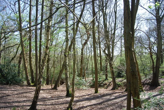
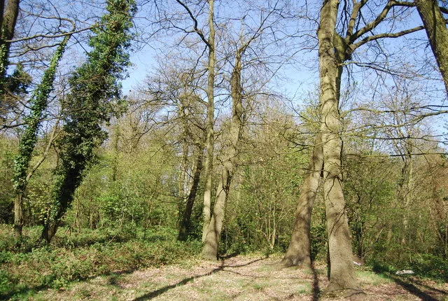
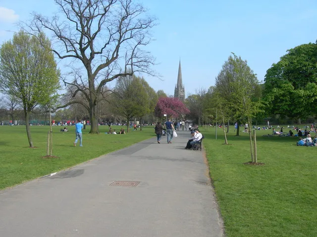
Shirley Heath — urban park in London Borough of Croydon, United Kingdom.

Wikimedia Commons contributors — see linked file page for photographer and licence licence
Plan your visit
- Typical visit
- 1.5 h–3 h
- Nearest railway station
- West Wickham · 2.1 km
- Free entry
- Family-friendly
- Dog-friendly
About
Shirley Heath is a country park in the United Kingdom. It covers approximately 68 km². Wikidata describes it as: "urban park in London Borough of Croydon, United Kingdom". Coordinates: 51.3649°, -0.0288°.
Photo gallery
Place summary
Shirley Heath is a country park located in Croydon, London. This open space features natural landscapes and provides recreational opportunities for visitors. It is situated in an unparished area, contributing to the local environment.
AI-generated from the structured facts on this page (operator, designation, listing, era). Not a substitute for visiting.
- Coordinates
- 51.3649, -0.0288
- District
- Croydon
- Parish
- Croydon, unparished area
- Postcode
- CR0 8JF
- Parliamentary constituency
- Croydon East
- Nearest railway station
- West Wickham — 2.1 km
Sources
- wikidata: Q116453246 (CC0)
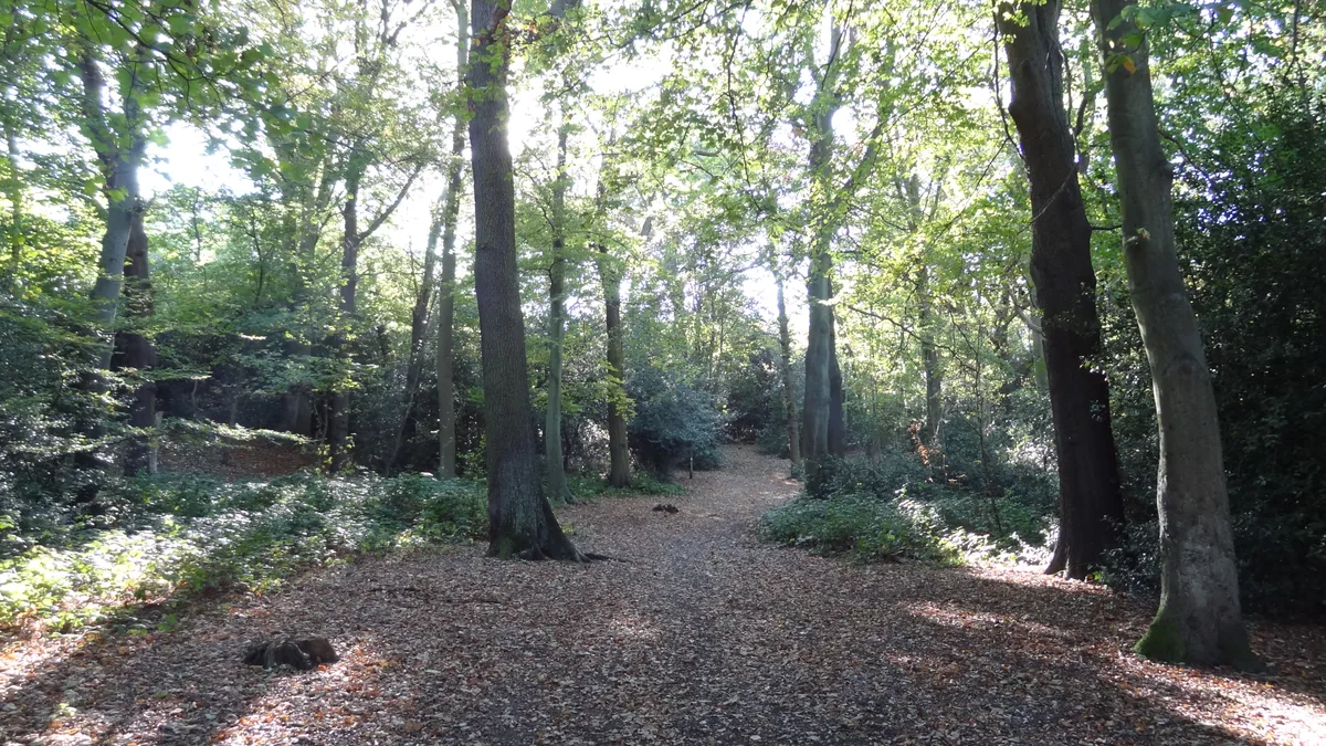
- commons: Woodland by Shirley Heath Recreation Ground - geograph.org.uk - 2427569.jpg (CC BY-SA 4.0)
Other places nearby
Loading nearby places…
Nearby
 📷 5
📷 5Country parks · London
Threehalfpenny Wood
Threehalfpenny Wood — urban park in London Borough of Croydon, United Kingdom.
 📷 5
📷 5Chapels · London
Addington
Addington — a methodist chapel in england-london, United Kingdom.
 📷 5
📷 5Historic churches · London
Church of St Mary, Addington
Church of St Mary, Addington — Grade I listed church in the London Borough of Croydon, England,UK.
 📷 5
📷 5Memorials & monuments · London
Addington War Memorial
Addington War Memorial — Grade II listed building-listed memorial in england-london, United Kingdom.
 📷 5
📷 5Chapels · London
Coney Hall
Coney Hall — a methodist chapel in england-london, United Kingdom.
 📷 5
📷 5Country parks · London
Foxes Wood
Foxes Wood — urban park in London Borough of Croydon, United Kingdom.
More places in this region
 Flagship📷 10
Country parks · London
Brockwell Park
Brockwell Park — park in south London, England, UK.
 Flagship📷 10
Country parks · London
Clissold Park
Clissold Park — park in Stoke Newington, London.
 Flagship📷 10
Country parks · London
Coombe Wood
Coombe Wood — woodland and garden area in the London Borough of Croydon.
 Flagship📷 10
Country parks · London
Croham Hurst
Croham Hurst — woodland in Croydon, Greater London, England, United Kingdom.
Frequently asked questions
- Where is Shirley Heath?
- Shirley Heath is in London, United Kingdom (postcode CR0 8JF), in the parish of Croydon, unparished area.
- Is Shirley Heath free to visit?
- Yes, Shirley Heath is free to enter.
- How do I get to Shirley Heath?
- The nearest railway station is West Wickham, about 2.1 km away. Drivers can navigate to postcode CR0 8JF.