
Beaches · North East England
Shire Hall
In or near Appleby-in-Westmorland.
Shire Hall in England North East, United Kingdom.

Roger Templeman — CC BY-SA 2.0 via Wikimedia Commons licence

Plan your visit
- Typical visit
- 1 h–3 h
- Best time of year
- Summer (Jun–Aug)
- Nearest railway station
- Appleby · 0.3 km
- Free entry
- Family-friendly
- Dog-friendly
About
Shire Hall is a place of interest in England North East, United Kingdom — drawn from open-data sources for visitor reference. See the linked Wikipedia article for the full description.
Photo gallery
Protected designations
- Site of Special Scientific Interest: River Eden and Tributaries SSSI
- Area of Outstanding Natural Beauty: North Pennines
Designations sourced from Natural England open data under OGL v3.
From the Wikipedia article
The Shire Hall is a municipal building in The Sands, Appleby-in-Westmorland, Cumbria, England. The shire hall, which is currently used as a dental surgery and business centre, is a Grade II listed building.
Excerpt from Wikipedia under CC BY-SA 4.0. See the source article linked in Sources below.
Background
History
The assize hearings for the County of Westmorland were held in the then-county town of Appleby, at the Castle until 1670, and then at the Moot Hall until 1778. However, in the early 1770s, the justices decided to commission a dedicated courthouse and the local lord of the manor, Sir James Lowther, agreed to make land available on Bongate (now known as The Sands). The building was extended to the right, i.e. to the southeast, to create an extra bay in 1814. until the abolition of the assize courts under the Courts Act 1971. It then served as the local magistrates court, until the court hearings were transferred in March 1998. The building was subsequently refurbished and converted for use as…
Sourced from Wikipedia under CC BY-SA 4.0.
- Coordinates
- 54.5779, -2.4883
- District
- Westmorland and Furness
- Parish
- Appleby-in-Westmorland
- Postcode
- CA16 6XN
- Parliamentary constituency
- Westmorland and Lonsdale
- Established
- 1778
- Nearest railway station
- Appleby — 0.3 km
Sources
- wikidata: Q26660413 (CC0)
- wikipedia: Shire Hall, Appleby-in-Westmorland (CC BY-SA 4.0)
Other places nearby
Barony of Westmorland
Other places · 0.1 km

St Lawrence's Bridge
Historic bridges · 0.1 km

Public Hall
Theatres · 0.2 km

Low Cross
Memorials & monuments · 0.2 km

War Memorial in St Lawrence's Churchyard, Appleby
Memorials & monuments · 0.2 km

The Red House
Historic houses · 0.2 km
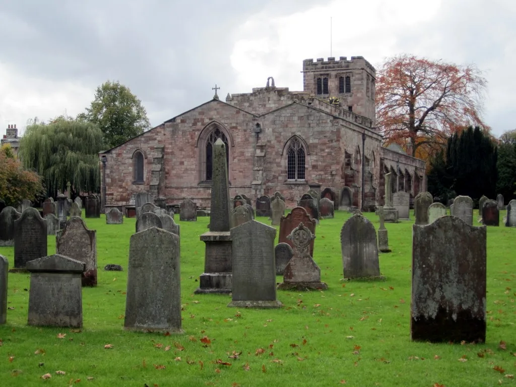
St Lawrence's Church, Appleby
Historic churches · 0.2 km

St Anne's Hospital
Chapels · 0.2 km

Appleby-in-Westmorland
Towns & cities · 0.2 km

Appleby railway station
Heritage railway stations · 0.3 km

Old Brewery
Breweries · 0.3 km

Bongate House
B&Bs · 0.3 km
Nearby
📷 3Other places · North East England
Barony of Westmorland
Barony of Westmorland in England North East, United Kingdom.
📷 3Historic bridges · North East England
St Lawrence's Bridge
St Lawrence's Bridge — Grade II listed building-listed bridge in england-north-east, United Kingdom.
📷 3Theatres · North East England
Public Hall
Public Hall in England North East, United Kingdom.
📷 3Memorials & monuments · North East England
Low Cross
Low Cross — a memorial in england-north-east, United Kingdom.
📷 3Memorials & monuments · North East England
War Memorial in St Lawrence's Churchyard, Appleby
War Memorial in St Lawrence's Churchyard, Appleby — Grade II listed building-listed memorial in england-north-east, United Kingdom.
📷 3Historic houses · North East England
The Red House
The Red House — Grade II* listed house in Appleby-in-Westmorland, Cumbria, England, UK.
Where to eat & stay near Shire Hall
Places to stay
📷 5B&Bs · North East England
Bongate House
Bongate House — a bed-and-breakfast in england north east.
 📷 5
📷 5Caravan parks · North East England
Park House Caravan Park
Park House Caravan Park — a caravan park in england north east.
 📷 5
📷 5Caravan parks · North East England
Wild Rose Caravan Site
Wild Rose Caravan Site — a caravan park in england north east.
 📷 5
📷 5Caravan parks · North East England
Grandie Caravan Park
Grandie Caravan Park — a caravan park in scotland lowlands.
 📷 6
📷 6B&Bs · North East England
Brow Farm
Brow Farm — a bed-and-breakfast in scotland lowlands.
 📷 5
📷 5Places to eat & drink
 📷 5
📷 5Historic pubs · North East England
1, Scattergate
1, Scattergate in England North East, United Kingdom.
 📷 7
📷 7Cafés · North West England
The White Hare Cafe
The White Hare Cafe — a café in england north west.
 📷 3
📷 3 📷 7
📷 7Historic pubs · North West England
Two Lions public house and integral stables
Two Lions public house and integral stables in Scotland Lowlands, United Kingdom.
 📷 6
📷 6Historic pubs · North West England
Gloucester Arms
Gloucester Arms in Scotland Lowlands, United Kingdom.
 📷 7
📷 7Cafés · North West England
Narrowbar Cafe
Narrowbar Cafe — a café in scotland lowlands.
More beaches in this region
 📷 3
📷 3 📷 3
📷 3Beaches · North East England
Cattersty Sands
Cattersty Sands is a beach in the United Kingdom.
 📷 3
📷 3 📷 3
📷 3Beaches · North East England
Saltburn Sands
Saltburn Sands is a beach in the United Kingdom.
Frequently asked questions
- Where is Shire Hall?
- Shire Hall is in North-East England, United Kingdom (postcode CA16 6XN), in the parish of Appleby-in-Westmorland.
- What is Shire Hall?
- Shire Hall in England North East, United Kingdom.
- How do I get to Shire Hall?
- The nearest railway station is Appleby, about 0.3 km away. Drivers can use postcode CA16 6XN.
- When was Shire Hall built?
- Built or established in 1778.
- Is Shire Hall a protected site?
- Yes — Shire Hall is part of the River Eden and Tributaries SSSI Site of Special Scientific Interest and the North Pennines National Landscape (AONB).
- Is Shire Hall free to visit?
- Yes, Shire Hall is free to enter.
- How do I get to Shire Hall?
- The nearest railway station is Appleby, about 0.3 km away. Drivers can navigate to postcode CA16 6XN.