Mountains & hills · South West England
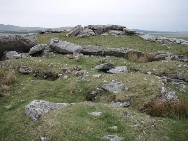
Sharpitor
Sharpitor — Named summit at 415 m.

Wikimedia Commons contributors — see linked file page for photographer and licence licence
Plan your visit
- Typical visit
- 3 h–8 h
- Best time of year
- Late spring – early autumn (May–Oct)
- Free entry
- Dog-friendly
About
Sharpitor is a named summit in the United Kingdom. Wikidata describes it as: "Named summit at 415 m.". Coordinates: 50.5151°, -4.0331°.
Photo gallery
Place summary
Sharpitor is a mountain located in the parish of Meavy, Devon, in South-West England. It is part of the Dartmoor National Park, known for its rugged terrain and natural beauty.
AI-generated from the structured facts on this page (operator, designation, listing, era). Not a substitute for visiting.
- Coordinates
- 50.5151, -4.0331
- County
- Devon
- District
- West Devon
- Parish
- Meavy
- Postcode
- PL20 6PE
- Parliamentary constituency
- South West Devon
Sources
- osm: n571598060 (ODbL)
- wikipedia: Sharpitor (CC BY-SA 4.0)
- commons: Sharpitor.jpg (CC BY-SA 4.0)
Other places nearby
Loading nearby places…
Nearby
Vineyards · South West England
Medieval settlement on Peek Hill, 240m and 280m north east of Lowery Tor
Medieval settlement on Peek Hill, 240m and 280m north east of Lowery Tor — a UK vineyard in england south west, producing English or Welsh wine from cool-climate grape varieties.
 📷 3
📷 3Archaeological sites · South West England
Sett Makers Bankers
Sett Makers Bankers — a archaeological in england-south-west, United Kingdom.
 📷 3
📷 3Memorials & monuments · South West England
Cross Gate Cross
Cross Gate Cross — a memorial in england-south-west, United Kingdom.
 📷 3
📷 3Natural landmarks · South West England
Leather Tor Farm
Leather Tor Farm — a natural landmark in england-south-west, United Kingdom.
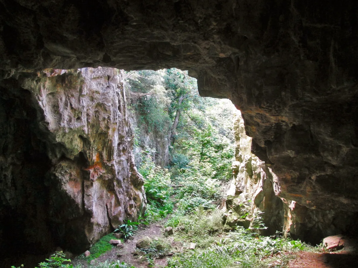
📷 3Caves · South West England
Potato Cave
Potato Cave — a cave in england-south-west, United Kingdom.
📷 3Archaeological sites · South West England
Vooga
Vooga — a archaeological in england-south-west, United Kingdom.
More mountains in this region
 📷 5
📷 5Mountains & hills · South West England
Alex Tor
Alex Tor — Named summit at 291 m.
 📷 5
📷 5Mountains & hills · South West England
Ash Hole Cavern
Ash Hole Cavern — cave in Brixham, Devon, England, UK.
 📷 5
📷 5Mountains & hills · South West England
Babbacombe Bay
Babbacombe Bay — bay in Devon, England.
 📷 5
📷 5Mountains & hills · South West England
Barley Bay
Barley Bay — bay in the United Kingdom.
Frequently asked questions
- Where is Sharpitor?
- Sharpitor is in Devon, South-West England, United Kingdom (postcode PL20 6PE), in the parish of Meavy.
- Is Sharpitor free to visit?
- Yes, Sharpitor is free to enter.
- How do I get to Sharpitor?
- Drivers can navigate to postcode PL20 6PE. It sits within the South West Devon parliamentary constituency.