Mountains & hills · Scottish Highlands
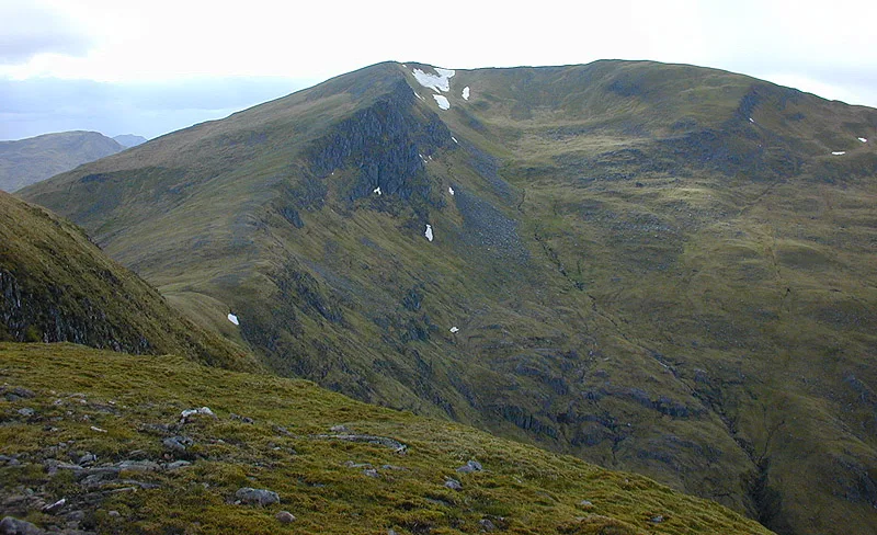
Sgurr an Doire Leathain
Sgurr an Doire Leathain — a hill or mountain in scotland highlands.

Steven Brown — CC BY-SA 2.0 via Wikimedia Commons licence
Plan your visit
- Typical visit
- 3 h–8 h
- Best time of year
- Late spring – early autumn (May–Oct)
About
A British hill or mountain, named on Ordnance Survey maps and walked by hill-baggers. Sgurr an Doire Leathain is a named hill or mountain in scotland highlands, recorded in the GeoNames UK gazetteer. British landmarks of this type are typically marked on Ordnance Survey maps and recorded in the national gazetteer for cartographic and navigational reference. Coordinates and feature classification are sourced from the GeoNames open dataset.
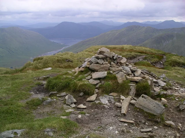
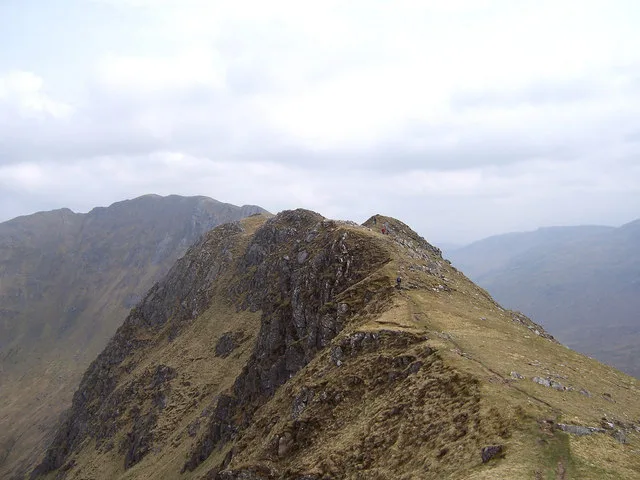
Photo gallery
Place summary
Sgurr an Doire Leathain is a mountain located in the Scottish Highlands. It is notable for its rugged terrain and scenic views typical of the region. The mountain attracts hikers and outdoor enthusiasts looking to explore its natural landscape. The area is characterised by its remote wilderness and diverse wildlife.
AI-generated from the structured facts on this page (operator, designation, listing, era). Not a substitute for visiting.
- Coordinates
- 57.1369, -5.2815
Sources
- manual: geonames-8598798 (CC BY 4.0)
Other places nearby
Loading nearby places…
Nearby
 📷 3
📷 3Mountains & hills · Scottish Highlands
Sgùrr an Doire Leathain
Sgùrr an Doire Leathain — Named summit at 1010 m.
 📷 3
📷 3Mountains & hills · Scottish Highlands
Sgurr an Lochain
Sgurr an Lochain — Named summit at 1004 m.
 📷 3
📷 3Mountains & hills · Scottish Highlands
Sgùrr Coire na Feinne
Sgùrr Coire na Feinne — a mountain in scotland-highlands, United Kingdom.
 📷 3
📷 3Mountains & hills · Scottish Highlands
Maol Chinn-dearg
Maol Chinn-dearg — Named summit at 981 m.
 📷 5
📷 5Mountains & hills · Scottish Highlands
Sgurr Beag
Sgurr Beag — a hill or mountain in scotland highlands.
📷 5Mountains & hills · Scottish Highlands
Sgurr Beag
Sgurr Beag — mountain in scotland highlands. Elevation: 896 m.
Where to eat & stay near Sgurr an Doire Leathain
Places to stay
 📷 5
📷 5Hotels · Scottish Highlands
Cluanie Inn
Cluanie Inn — a hotel in scotland highlands.
 📷 5
📷 5Campsites · Scottish Highlands
Kinloch Hourn Estate Camping Area
Kinloch Hourn Estate Camping Area — a campsite in scotland highlands.
 📷 5
📷 5Campsites · Scottish Highlands
Glenshiel Campsite
Glenshiel Campsite — a campsite in scotland highlands.
 📷 5
📷 5B&Bs · Scottish Highlands
Shiel House
Shiel House — a bed-and-breakfast in scotland highlands.
 📷 5
📷 5Hostels · Scottish Highlands
Glen Affric SYHA
Glen Affric SYHA — a hostel in scotland highlands.
 📷 5
📷 5Hostels · Scottish Highlands
Kintail Outdoor Centre
Kintail Outdoor Centre — a hostel in scotland highlands.
More mountains in this region
 📷 3
📷 3Mountains & hills · Scottish Highlands
A' Bhuidheanach Bheag
A' Bhuidheanach Bheag — Named summit at 936 m.
 📷 3
📷 3Mountains & hills · Scottish Highlands
A' Chailleach
A' Chailleach — Named summit at 997 m.
 📷 3
📷 3Mountains & hills · Scottish Highlands
A' Chailleach
A' Chailleach — Named summit at 930 m.
 📷 3
📷 3Mountains & hills · Scottish Highlands
A' Chaoirnich
A' Chaoirnich — Named summit at 875 m.
Frequently asked questions
- Where is Sgurr an Doire Leathain?
- Sgurr an Doire Leathain is in the Scottish Highlands, United Kingdom.
- What is Sgurr an Doire Leathain?
- Sgurr an Doire Leathain — a hill or mountain in scotland highlands.
- How do I get to Sgurr an Doire Leathain?
- Its coordinates are 57.1369°, -5.2815°.