Islands · Scottish Highlands
Sgeotasaigh
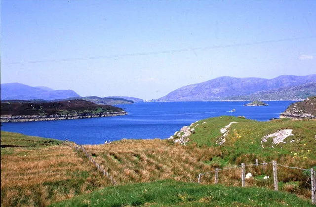
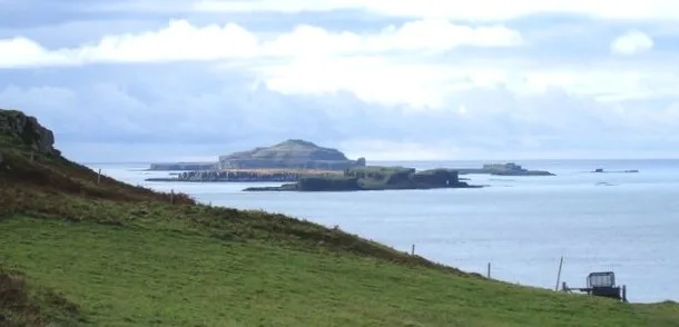
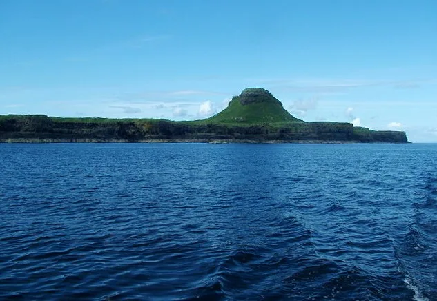
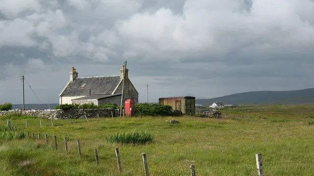
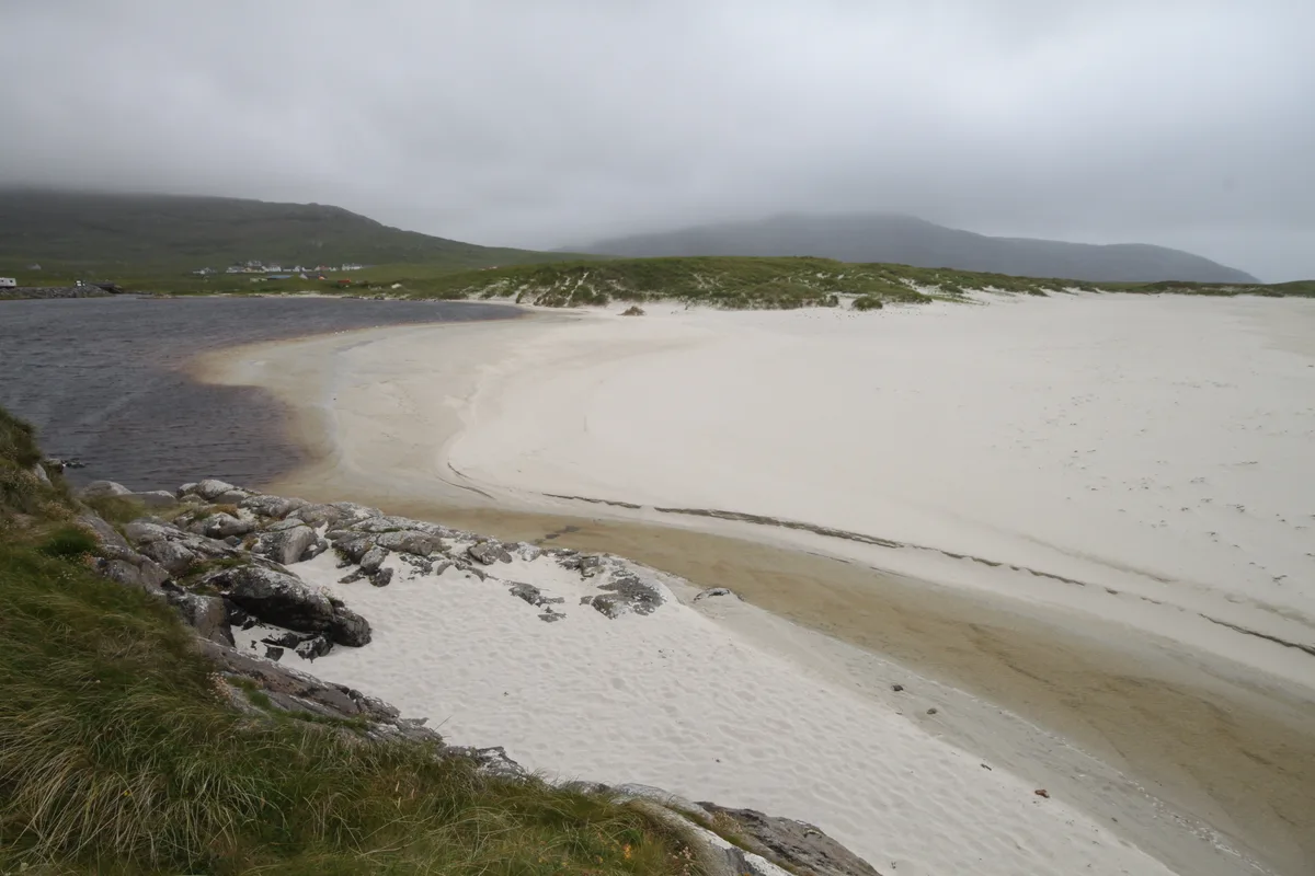
Sgeotasaigh — island in Outer Hebrides, Scotland, UK.

Wikimedia Commons contributors — see linked file page for photographer and licence licence
Plan your visit
- Typical visit
- 4 h–12 h
- Free entry
- Dog-friendly
About
Sgeotasaigh is a island in the United Kingdom. Part of Outer Hebrides. Wikidata describes it as: "island in Outer Hebrides, Scotland, UK". Coordinates: 57.8779°, -6.7501°.
Photo gallery
From the Wikipedia article
Scotasay (Scottish Gaelic: Sgeotasaigh) is small island in the Outer Hebrides of Scotland. It lies 1 kilometre (0.6 miles) off the east coast of Harris and gives some shelter to the ferry port of Tarbert. There are two houses on the island, a wind turbine and a fresh water tank. The island had 15-20 inhabitants in the early 20th century but there are no records of any permanent inhabitation since then.
Excerpt from Wikipedia under CC BY-SA 4.0. See the source article linked in Sources below.
- Coordinates
- 57.8779, -6.7501
- District
- Na h-Eileanan Siar
- Postcode
- HS3 3BP
- Parliamentary constituency
- Na h-Eileanan an Iar
Sources
- wikidata: Q3180974 (CC0)
- wikipedia: Sgeotasaigh (CC BY-SA 4.0)
- commons: Sgeotasaigh.jpg (CC BY-SA 4.0)
Other places nearby
Loading nearby places…
Nearby
 📷 3
📷 3Mountains & hills · Scottish Highlands
East Loch Tarbert
East Loch Tarbert — inlet in Outer Hebrides, Scotland, UK.
 📷 3
📷 3Galleries · Scottish Highlands
Caolas Gallery
Caolas Gallery — a gallery in scotland-highlands, United Kingdom.
 📷 5
📷 5Museums · Scottish Highlands
Cretetree
Cretetree — a museum in scotland-highlands, United Kingdom.
Hostels · Scottish Highlands
No. 5 Drinishader
No. 5 Drinishader — a hostel in scotland highlands.
 📷 3
📷 3Museums · Scottish Highlands
Clò-Mòr
Clò-Mòr — a museum in scotland-highlands, United Kingdom.
Campsites · Scottish Highlands
Urgha Aire
Urgha Aire — a campsite in scotland highlands.
More places in this region
 📷 5
📷 5Islands · Scottish Highlands
Bac Beag
Bac Beag — Scottish island, part of the Treshnish Isles in the Inner Hebrides.
 📷 5
📷 5Islands · Scottish Highlands
Bac Mòr
Bac Mòr — island in Argyll and Bute, Scotland, UK, one of the Treshnish Isles.
 Flagship📷 3
Islands · Scottish Highlands
Baleshare
Baleshare — flat tidal island in the Outer Hebrides, Scotland, UK.
 Flagship📷 5
Islands · Scottish Highlands
Barra
Barra — island in Outer Hebrides, Scotland, UK.
Frequently asked questions
- Where is Sgeotasaigh?
- Sgeotasaigh is in the Scottish Highlands, United Kingdom (postcode HS3 3BP).
- Is Sgeotasaigh free to visit?
- Yes, Sgeotasaigh is free to enter.
- How do I get to Sgeotasaigh?
- Drivers can navigate to postcode HS3 3BP. It sits within the Na h-Eileanan an Iar parliamentary constituency.