
Mines & mining heritage · North East England
Seaham Colliery
In or near Warden Law.
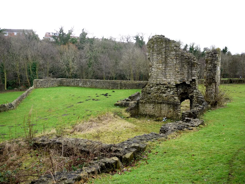
Seaham Colliery in England North East, United Kingdom.

Adrian Dust — CC BY-SA 2.0 via Wikimedia Commons licence

Plan your visit
- Typical visit
- 1 h–2 h
- Nearest railway station
- Seaham · 0.9 km
Getting there & planning your visit
To visit Seaham Colliery, the nearest railway station is Seaham, located 0.9 km away. The postcode for sat-nav is SR7 0BL. Please check local resources for information on entry fees and accessibility options.
About
Seaham Colliery is a place of interest in England North East, United Kingdom — drawn from open-data sources for visitor reference. See the linked Wikipedia article for the full description.
Photo gallery
Protected designations
- Site of Special Scientific Interest: Durham Coast SSSI
Designations sourced from Natural England open data under OGL v3.
From the Wikipedia article
The Seaham Colliery was a coal mine in County Durham in the North of England. The mine suffered an underground explosion in 1880 which resulted in the deaths of upwards of 160 people, including surface workers and rescuers. Among the dead were 36 non-commissioned officers (NCO)s and men of the 2nd (Seaham) Durham Artillery Volunteer Corps, a part-time unit of the Royal Artillery who were recruited from workers at the mine. They had been commanded by the mine's owner, the Marquess of Londonderry. The mine opened in 1849 with the sinking of the first pit. In the late 19th century, the colliery was producing between 2,500 and 2,800 tons of coal per day, shipped to Seaham Harbour and Sunderland Dock by rail. In 1914, at it height, the colliery employed more than 2,500 people below ground and 500 above ground. It was nationalised in 1947, merged with Vane Tempest colliery in 1988, and closed by 1993.
Excerpt from Wikipedia under CC BY-SA 4.0. See the source article linked in Sources below.
- Coordinates
- 54.8401, -1.3607
- District
- County Durham
- Parish
- Seaham
- Postcode
- SR7 0BL
- Parliamentary constituency
- Easington
- Nearest railway station
- Seaham — 0.9 km
Sources
- wikidata: Q7440477 (CC0)
- wikipedia: Seaham Colliery (CC BY-SA 4.0)
Other places nearby
War Memorial in New Seaham Welfare Park
Memorials & monuments · 0.4 km

Northlea
Other places · 0.4 km
Seaham Red Star F.C.
Mines & mining heritage · 0.4 km

Seaham Hall Dene railway station
Historic houses · 0.8 km

Seaham railway station
Heritage railway stations · 0.9 km

Deneside
Other places · 0.9 km
Dalden Tower
Archaeological sites · 1.3 km

Seaham Hall
Historic houses · 1.3 km

Seaham
Mines & mining heritage · 1.3 km

Seaham Harbour railway station
Mines & mining heritage · 1.3 km

Church of St Mary, Seaham
Historic churches · 1.4 km

Seaton
Villages · 1.5 km
Nearby
📷 3Memorials & monuments · North East England
War Memorial in New Seaham Welfare Park
War Memorial in New Seaham Welfare Park — Grade II listed building-listed memorial in scotland-lowlands, United Kingdom.
📷 3📷 3Mines & mining heritage · North East England
Seaham Red Star F.C.
Seaham Red Star F.C. in England North East, United Kingdom.
📷 4Historic houses · North East England
Seaham Hall Dene railway station
Seaham Hall Dene railway station in England North East, United Kingdom.
📷 4Heritage railway stations · North East England
Seaham railway station
Seaham railway station in England North East, United Kingdom.
📷 3Other places · North East England
Deneside
Deneside in England North East, United Kingdom.
Where to eat & stay near Seaham Colliery
Places to stay
 📷 5
📷 5Campsites · North East England
The Barn at Easington
The Barn at Easington — a campsite in scotland lowlands.
 📷 3
📷 3Campsites · North East England
Colliery Farm Campsite
Colliery Farm Campsite — a campsite in scotland lowlands.
 📷 5
📷 5Caravan parks · North East England
Showmen's Guild Site - Sunnyside Farm
Showmen's Guild Site - Sunnyside Farm — a caravan park in scotland lowlands.
 📷 5
📷 5Hotels · North East England
Hilton Garden Inn Sunderland
Hilton Garden Inn Sunderland — a hotel in scotland lowlands. 3-star. Brand: Hilton Garden Inn.
 📷 5
📷 5Hotels · North East England
Hallgarth Manor
Hallgarth Manor — a hotel in scotland lowlands.
 📷 5
📷 5Places to eat & drink
 📷 5
📷 5Historic pubs · North East England
The Old Mill Public House
The Old Mill Public House in England North East, United Kingdom.
 📷 6
📷 6Historic pubs · North East England
Fitzgerald's Public House
Fitzgerald's Public House in England North East, United Kingdom.
 📷 5
📷 5 📷 5
📷 5Historic pubs · North East England
Greens Public House
Greens Public House in England North East, United Kingdom.
 📷 5
📷 5Historic pubs · North East England
The Londonderry Public House
The Londonderry Public House in England North East, United Kingdom.
 📷 5
📷 5Historic pubs · North East England
The Dun Cow Public House
The Dun Cow Public House in England North East, United Kingdom.
More places in this region
 📷 5
📷 5Mines & mining heritage · North East England
Grinkle Mine
Grinkle Mine — former ironstone mine in North Yorkshire, England.
 📷 3
📷 3Mines & mining heritage · North East England
North Skelton Mine
North Skelton Mine — disused ironstone mine in Cleveland, England.
 📷 4
📷 4Mines & mining heritage · North East England
Carrshield
Carrshield in England North East, United Kingdom.
 📷 4
📷 4Mines & mining heritage · North East England
Old Powder Magazine
Old Powder Magazine in England North East, United Kingdom.
Frequently asked questions
- Where is Seaham Colliery?
- Seaham Colliery is in North-East England, United Kingdom (postcode SR7 0BL), in the parish of Seaham.
- What is Seaham Colliery?
- Seaham Colliery in England North East, United Kingdom.
- How do I get to Seaham Colliery?
- The nearest railway station is Seaham, about 0.9 km away. Drivers can use postcode SR7 0BL.
- Is Seaham Colliery a protected site?
- Yes — Seaham Colliery is part of the Durham Coast SSSI Site of Special Scientific Interest.
- How do I get to Seaham Colliery?
- The nearest railway station is Seaham, about 0.9 km away. Drivers can navigate to postcode SR7 0BL.