Holy wells · North Wales
Sea Wall To North Of Canning Island
Sea Wall To North Of Canning Island — wall in Liverpool, Merseyside, England, UK.

Wikimedia Commons contributors — see linked file page for photographer and licence licence
Plan your visit
- Typical visit
- 15 min–30 min
- Nearest railway station
- Liverpool James Street · 0.4 km
- Free entry
- Dog-friendly
- Wheelchair accessible
About
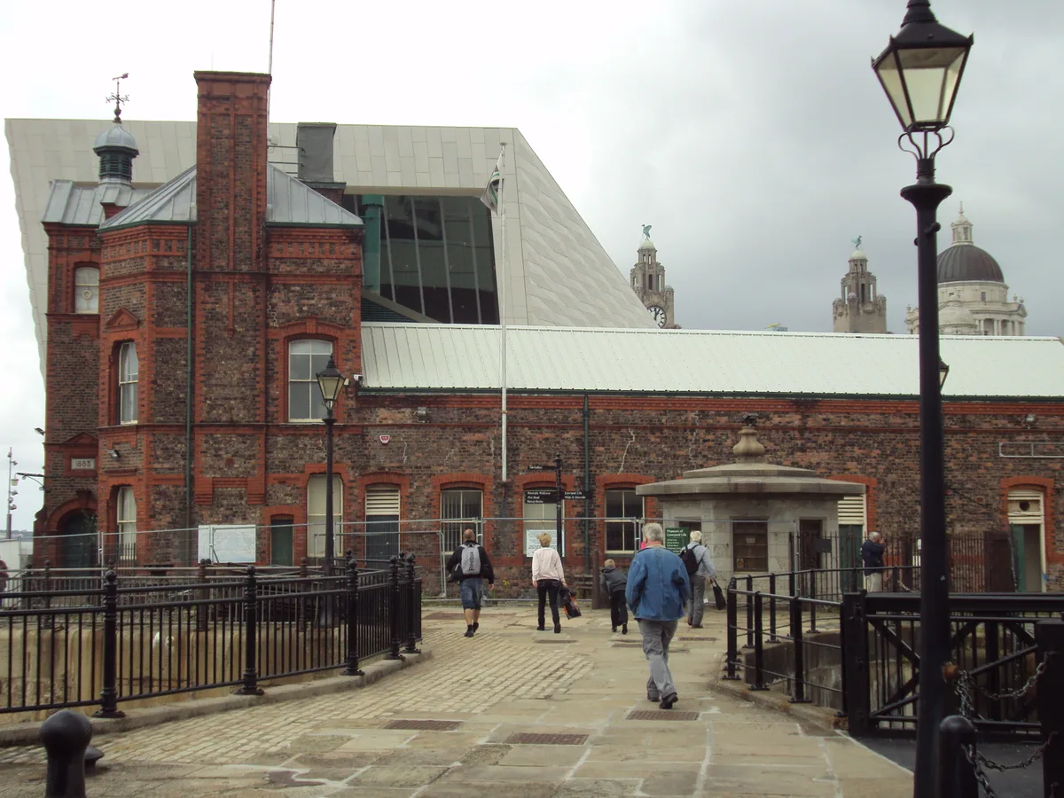
Sea Wall To North Of Canning Island is a place of interest in North Wales. Officially recognised as Grade II listed building. It sits within the Liverpool Riverside parliamentary constituency. The nearest railway station is Liverpool James Street, about 0.4 km away. Postcode area L3.
Photo gallery
Place summary
The Sea Wall to the North of Canning Island is a Grade II listed structure located in North Wales within the unparished area of Liverpool. This holy well reflects historical significance in the region's coastal architecture.
AI-generated from the structured facts on this page (operator, designation, listing, era). Not a substitute for visiting.
- Coordinates
- 53.4023, -2.9958
- District
- Liverpool
- Parish
- Liverpool, unparished area
- Postcode
- L3 1PZ
- Parliamentary constituency
- Liverpool Riverside
- Nearest railway station
- Liverpool James Street — 0.4 km
- Opening
- Tu-Su 10:00-16:00
- Official site
- www.liverpoolmuseums.org.uk
Sources
- wikidata: Q26321101 (CC0)
- commons: Sea wall north of Canning Island 1.jpg (CC BY-SA 4.0)
Other places nearby
Loading nearby places…
Nearby
 📷 3
📷 3Museums · North Wales
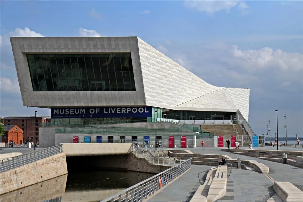
Museum of Liverpool Life
Museum of Liverpool Life is a museum in the United Kingdom.
 📷 3
📷 3Holy wells · North Wales
Sea Wall To Canning Island
Sea Wall To Canning Island — wall in Liverpool, Merseyside, England, UK.
 📷 3
📷 3Public art & sculpture · North Wales
Waiting...
Waiting... — a public art in wales-north, United Kingdom.
 📷 3
📷 3Public art & sculpture · North Wales
Lusitania Propeller
Lusitania Propeller — a public art in wales-north, United Kingdom.
 📷 3
📷 3Museums · North Wales
Museum of Liverpool
Museum of Liverpool — museum in Liverpool, England.
 📷 4
📷 4Public art & sculpture · North Wales
Billy Fury
Billy Fury — a public art in wales-north, United Kingdom.
More places in this region
 📷 3
📷 3Holy wells · North Wales
Enclosing wall and gateway to forecourt of Bidston Hall
Enclosing wall and gateway to forecourt of Bidston Hall — Grade II* listed wall and gateway in Bidston, Wirral, Merseyside, England, UK.
 📷 3
📷 3Holy wells · North Wales
Gatehouse To Thornton Manor And Attached Courtyard Walls
Gatehouse To Thornton Manor And Attached Courtyard Walls — wall in Wirral, Merseyside, England, UK.
📷 3Holy wells · North Wales
Sea Wall To Canning Island
Sea Wall To Canning Island — wall in Liverpool, Merseyside, England, UK.
 📷 3
📷 3Holy wells · North Wales
Sea Wall To West Of Marine Parade
Sea Wall To West Of Marine Parade — wall in Liverpool, Merseyside, England, UK.
Frequently asked questions
- Where is Sea Wall To North Of Canning Island?
- Sea Wall To North Of Canning Island is in North Wales, United Kingdom (postcode L3 1PZ), in the parish of Liverpool, unparished area.
- Is Sea Wall To North Of Canning Island a listed building?
- Sea Wall To North Of Canning Island is officially recognised as Grade II listed building listed.
- Is Sea Wall To North Of Canning Island free to visit?
- Yes, Sea Wall To North Of Canning Island is free to enter.
- How do I get to Sea Wall To North Of Canning Island?
- The nearest railway station is Liverpool James Street, about 0.4 km away. Drivers can navigate to postcode L3 1PZ.