
Reservoirs & lochs · Yorkshire & the Humber
Scammonden Reservoir
In or near Ripponden.
Scammonden Reservoir — reservoir in West Yorkshire, England, UK.

Wikimedia Commons contributors — see linked file page for photographer and licence licence

Plan your visit
- Typical visit
- 1 h–2.5 h
- Nearest railway station
- Slaithwaite · 3.5 km
- Free entry
- Dog-friendly
About
Scammonden Reservoir is a reservoir in the United Kingdom. Wikidata describes it as: "reservoir in West Yorkshire, England, UK". Coordinates: 53.6417°, -1.9239°.
Photo gallery
Protected designations
- Site of Special Scientific Interest: South Pennine Moors SSSI
Designations sourced from Natural England open data under OGL v3.
From the Wikipedia article
Scammonden Reservoir is a water reservoir in West Yorkshire, England. Its water surface area when full is 42 hectares (0.16 sq mi). The level of the bellmouth overflow above sea level is 252 metres (827 ft). The reservoir holds 78,000,000,000 litres (1.7×10¹⁰ imp gal; 2.1×10¹⁰ US gal). Its length is 1.4 kilometres (0.9 mi).
Excerpt from Wikipedia under CC BY-SA 4.0. See the source article linked in Sources below.
Background
History
Scammonden Dam is part of the M62 motorway between junctions 22 and 23, the only such structure in Britain. Its construction by the Ministry of Transport and Huddersfield Corporation Waterworks required the passing of the Huddersfield Corporation Act 1965. The motorway dam spans the Deanhead Valley in the Pennines between Huddersfield and Rochdale and the main contractor for the project was Sir Alfred McAlpine & Sons. Deanhead village was submerged and many buildings demolished to make way for the reservoir but the church remains and its vicarage is used by the sailing club. Both the church and adjacent school were at risk of slipping down the hillside into the dam and were not used after…
Sourced from Wikipedia under CC BY-SA 4.0.
- Coordinates
- 53.6417, -1.9239
- District
- Kirklees
- Parish
- Kirklees, unparished area
- Postcode
- HX4 0EA
- Parliamentary constituency
- Colne Valley
- Nearest railway station
- Slaithwaite — 3.5 km
Sources
- wikidata: Q7348642 (CC0)
- wikipedia: Scammonden Reservoir (CC BY-SA 4.0)
- commons: Scammonden Reservoir and the M62.JPG (CC BY-SA 4.0)
Other places nearby

Scammonden Stanza Stones
Memorials & monuments · 0.6 km

Scammonden Bridge
Historic bridges · 0.8 km

Pike Law
Mountains & hills · 1.4 km
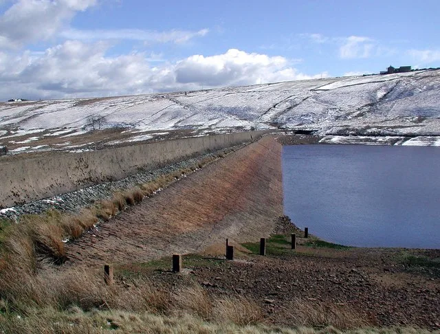
Deanhead Reservoir
Reservoirs & lochs · 1.7 km

Moorside Edge
Villages · 1.8 km

Merry Dale Bridge
Historic bridges · 2.0 km

ring of stones
Archaeological sites · 2.2 km

Rishworth war memorial
Memorials & monuments · 2.6 km

Wholestone Moor
Mountains & hills · 2.7 km

Rishworth
Villages · 2.7 km

Huddersfield Narrow Canal; Shaw Carr Wood Bridge
Historic bridges · 3.3 km

Huddersfield Narrow Canal; Waring Bridge
Historic bridges · 3.3 km
Nearby
📷 3Memorials & monuments · Yorkshire & the Humber
Scammonden Stanza Stones
Scammonden Stanza Stones — a memorial in Yorkshire & the Humber, United Kingdom.
📷 5Historic bridges · Yorkshire & the Humber
Scammonden Bridge
Scammonden Bridge is a historic bridge in the United Kingdom.
📷 5Mountains & hills · Yorkshire & the Humber
Pike Law
Pike Law — a hill or mountain in england yorkshire.
📷 3Reservoirs & lochs · Yorkshire & the Humber
Deanhead Reservoir
Deanhead Reservoir — reservoir in West Yorkshire, England, UK.
📷 5📷 3Historic bridges · Yorkshire & the Humber
Merry Dale Bridge
Merry Dale Bridge is a historic bridge in the United Kingdom.
Where to eat & stay near Scammonden Reservoir
Places to stay
 📷 5
📷 5Caravan parks · Yorkshire & the Humber
Upper Abotts Royd Farm and Caravan Park
Upper Abotts Royd Farm and Caravan Park — a caravan park in england yorkshire.
 📷 5
📷 5Campsites · Yorkshire & the Humber
Rough Hey Wood Campsite
Rough Hey Wood Campsite — a campsite in england yorkshire.
 📷 7
📷 7 📷 5
📷 5Caravan parks · Yorkshire & the Humber
Rooley Farm
Rooley Farm — a caravan park in england yorkshire.
 📷 5
📷 5Caravan parks · Yorkshire & the Humber
Elland Hall Farm Caravan Park
Elland Hall Farm Caravan Park — a caravan park in england yorkshire.
 📷 5
📷 5Caravan parks · North West England
The Moorlands
The Moorlands — a caravan park in england north west.
Places to eat & drink
 📷 5
📷 5Historic pubs · Yorkshire & the Humber
Shoulder of Mutton
Shoulder of Mutton in England Yorkshire, United Kingdom.
.jpg?width=1200) 📷 3
📷 3Historic pubs · Yorkshire & the Humber
Old Bridge Inn
Old Bridge Inn — Historic pub — listed building or notable heritage status.
 📷 5
📷 5 📷 5
📷 5Historic pubs · Yorkshire & the Humber
Rising Sun Public House
Rising Sun Public House in England Yorkshire, United Kingdom.
 📷 5
📷 5Historic pubs · Yorkshire & the Humber
The Black Bull Public House
The Black Bull Public House in England Yorkshire, United Kingdom.
 📷 7
📷 7Historic pubs · Yorkshire & the Humber
The Bull on the Bridge
The Bull on the Bridge in England Yorkshire, United Kingdom.
More places in this region
 📷 3
📷 3Reservoirs & lochs · Yorkshire & the Humber
Godley Reservoir
Godley Reservoir — reservoir in Greater Manchester, England, UK.
 📷 3
📷 3Reservoirs & lochs · Yorkshire & the Humber
Gorton Lower Reservoir
Gorton Lower Reservoir — reservoir in Greater Manchester, England, UK.
 Flagship📷 3
Reservoirs & lochs · Yorkshire & the Humber
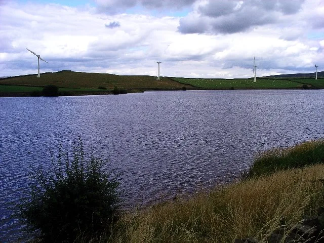
Chelker Reservoir
Chelker Reservoir — reservoir in North Yorkshire, England, UK.
 Flagship📷 5
Reservoirs & lochs · Yorkshire & the Humber
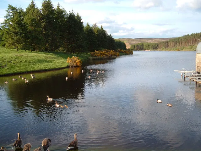
Cod Beck Reservoir
Cod Beck Reservoir — reservoir in North Yorkshire, England, UK.
Frequently asked questions
- Where is Scammonden Reservoir?
- Scammonden Reservoir is in Yorkshire, United Kingdom (postcode HX4 0EA), in the parish of Kirklees, unparished area.
- What is Scammonden Reservoir?
- Scammonden Reservoir — reservoir in West Yorkshire, England, UK.
- How do I get to Scammonden Reservoir?
- The nearest railway station is Slaithwaite, about 3.5 km away. The nearest town is Ripponden. Drivers can use postcode HX4 0EA.
- Is Scammonden Reservoir a protected site?
- Yes — Scammonden Reservoir is part of the South Pennine Moors SSSI Site of Special Scientific Interest.
- Is Scammonden Reservoir free to visit?
- Yes, Scammonden Reservoir is free to enter.
- How do I get to Scammonden Reservoir?
- The nearest railway station is Slaithwaite, about 3.5 km away. Drivers can navigate to postcode HX4 0EA.