
Other places · Mid Wales
Sarn Gynfelyn
In or near Borth.
Sarn Gynfelyn in Wales Mid, United Kingdom.

Dave Croker — CC BY-SA 2.0 via Wikimedia Commons licence

Plan your visit
- Typical visit
- 1 h–2 h
- Nearest railway station
- Aberystwyth Cliff Railway Upper Station · 3.0 km
Getting there & planning your visit
To visit Sarn Gynfelyn, the nearest railway station is Aberystwyth Cliff Railway Upper Station, located 3 km away. The postcode for navigation is SY23 3DR. Entry details are not specified, so please check in advance.
About
Sarn Gynfelyn is a place of interest in Wales Mid, United Kingdom — drawn from open-data sources for visitor reference. See the linked Wikipedia article for the full description.
Photo gallery
From the Wikipedia article
Sarn Gynfelyn (or Sarn Cynfelyn) is a shingle spit on the coast of Cardigan Bay, in the county of Ceredigion, Mid-Wales, in the United Kingdom. It is located at Wallog, a few kilometres north of Llangorwen, close to Clarach Bay, south of Borth and north of the town of Aberystwyth. It extends, albeit with a single break, for a distance of 11 km from the coast to a reef known as Patches or Caerwyddno. Similar landform examples are found at several points along the Cardigan Bay coast, known as sarnau. 'Sarn' (pluralised in Welsh as 'sarnau') is typically translated as 'causeway' or 'paved way'. These long banks which extend from the intertidal zone to the subtidal zone are thought to have originated as glacial moraines.
Excerpt from Wikipedia under CC BY-SA 4.0. See the source article linked in Sources below.
- Coordinates
- 52.4516, -4.0819
- District
- Ceredigion
- Parish
- Tirymynach
- Postcode
- SY23 3DR
- Parliamentary constituency
- Ceredigion Preseli
- Nearest railway station
- Aberystwyth Cliff Railway Upper Station — 3 km
Sources
- wikidata: Q7424316 (CC0)
- wikipedia: Sarn Gynfelyn (CC BY-SA 4.0)
Other places nearby
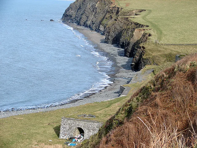
Wallog
Beaches · 0.7 km

Llangorwen
Historic churches · 0.7 km

Cribin Llwyd
Mountains & hills · 1.0 km

Moelcerni
Mountains & hills · 1.0 km

Aber Bay Holiday Park
Caravan parks · 1.6 km

Rhyd-Meirionnydd
Other places · 1.6 km

Glan-y-môr
Mountains & hills · 1.8 km

Afon Clarach
Other places · 1.8 km
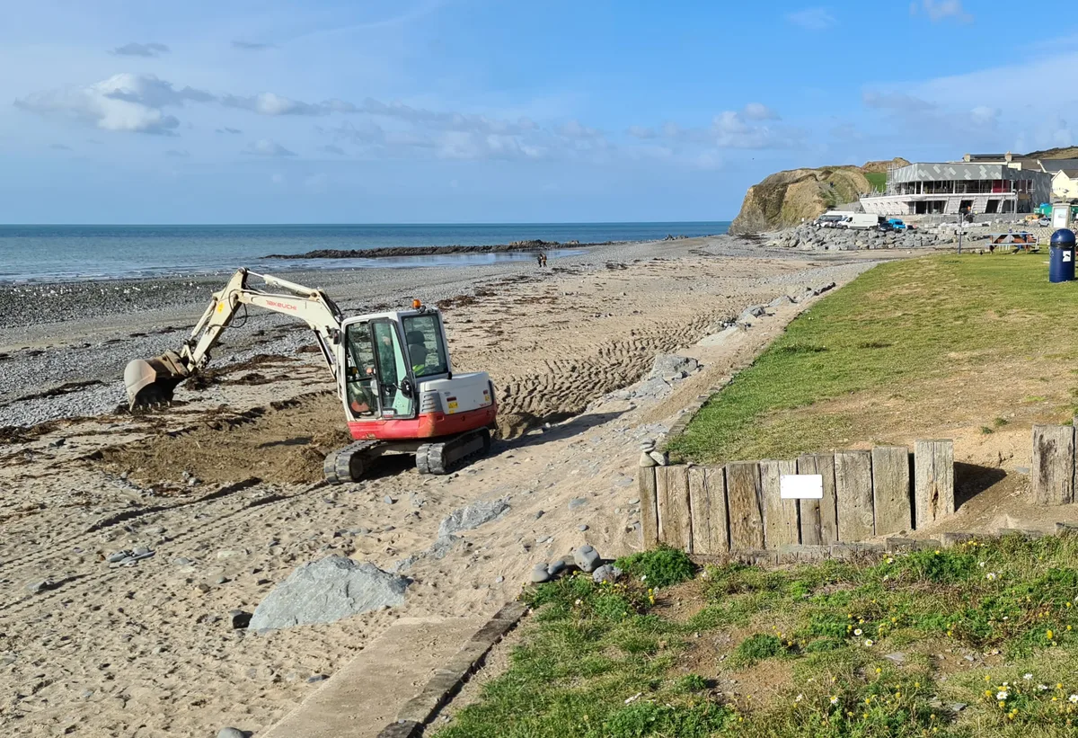
Clarach Beach
Beaches · 1.9 km

Amusement Park
Theme parks · 1.9 km
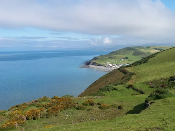
Clarach Bay
Mountains & hills · 1.9 km

Nantcellan Barns
Campsites · 2.0 km
Nearby
📷 3📷 5📷 5📷 5📷 5📷 3Where to eat & stay near Sarn Gynfelyn
Places to stay
📷 5📷 5 📷 5
📷 5Caravan parks · Mid Wales
Clarach Bay Caravan Park
Clarach Bay Caravan Park — a caravan park in wales mid.
 📷 5
📷 5 📷 5📷 5
Places to eat & drink
 📷 5
📷 5 📷 7
📷 7 📷 5
📷 5Cafés · Mid Wales
Llywernog Silver Lead Mine
Llywernog Silver Lead Mine — a café in wales mid.
 📷 5
📷 5Restaurants · Mid Wales
The White Lion Hotel
The White Lion Hotel — a restaurant in wales mid.
 📷 4
📷 4More places in this region
 📷 5
📷 5 📷 3
📷 3Other places · Mid Wales
Sheep Music
Sheep Music is a three-day world music festival which takes place during July each year in Presteigne. It has 22 years of history, starting as a party on The Warden in 1991. Since moving to its curren
 📷 2
📷 2 📷 4
📷 4Frequently asked questions
- Where is Sarn Gynfelyn?
- Sarn Gynfelyn is in Mid Wales, United Kingdom (postcode SY23 3DR), in the parish of Tirymynach.
- What is Sarn Gynfelyn?
- Sarn Gynfelyn in Wales Mid, United Kingdom.
- How do I get to Sarn Gynfelyn?
- The nearest railway station is Aberystwyth Cliff Railway Upper Station, about 3.0 km away. Drivers can use postcode SY23 3DR.
- How do I get to Sarn Gynfelyn?
- The nearest railway station is Aberystwyth Cliff Railway Upper Station, about 3.0 km away. Drivers can navigate to postcode SY23 3DR.