Natural landmarks · South East England
Saint Margarets Bay
Saint Margarets Bay — a natural feature in england south east.

Chris Whippet — CC BY-SA 2.0 via Wikimedia Commons licence
Plan your visit
- Typical visit
- 1 h–2 h
About
Saint Margarets Bay is a named natural feature in england south east, recorded in the GeoNames UK gazetteer. British landmarks of this type are typically marked on Ordnance Survey maps and recorded in the national gazetteer for cartographic and navigational reference. Coordinates and feature classification are sourced from the GeoNames open dataset.
Photo gallery
Place summary
Saint Margarets Bay is a natural landmark located in South-East England. This coastal area features dramatic cliffs and scenic views of the English Channel. It is known for its natural beauty and serves as a popular spot for walking and enjoying the seaside environment. The bay's geological formations and proximity to the White Cliffs of Dover contribute to its distinctive landscape.
AI-generated from the structured facts on this page (operator, designation, listing, era). Not a substitute for visiting.
- Coordinates
- 51.1500, 1.3333
Sources
- manual: geonames-2638747 (CC BY 4.0)
Other places nearby
Loading nearby places…
Nearby
 📷 5
📷 5Historic houses · South East England
Swingate Mill, Guston
Swingate Mill, Guston — a Grade II*-listed historic house in england-south-east, United Kingdom.
📷 5Restaurants · South East England
The Swingate Inn, Namaste Curry House
The Swingate Inn, Namaste Curry House — a restaurant in england south east. Cuisine: indian.
 📷 5
📷 5Memorials & monuments · South East England
Block No 36 Dining Hall And Tower
Block No 36 Dining Hall And Tower — Grade II listed building-listed memorial in england-south-east, United Kingdom.
 📷 5
📷 5Forts · South East England
Fort Burgoyne Western Redoubt
Fort Burgoyne Western Redoubt is a fort in the United Kingdom.
 📷 5
📷 5Campsites · South East England
Hawthorn Farm (Keat farm)
Hawthorn Farm (Keat farm) — a campsite in england south east.
 📷 5
📷 5Natural landmarks · South East England
National Trust White Cliffs of Dover
National Trust White Cliffs of Dover — a natural landmark in england-south-east, United Kingdom.
Where to eat & stay near Saint Margarets Bay
Places to stay
📷 5Campsites · South East England
Hawthorn Farm (Keat farm)
Hawthorn Farm (Keat farm) — a campsite in england south east.
 📷 5
📷 5Caravan parks · South East England
St Margarets Bay Holiday Park
St Margarets Bay Holiday Park — a caravan park in england south east. Brand: Parkdean Resorts.
 📷 5
📷 5B&Bs · South East England
Churchill
Churchill — a bed-and-breakfast in england south east.
 📷 5
📷 5Hostels · South East England
The Castle Inn
The Castle Inn — a hostel in england south east.
 📷 5
📷 5Campsites · South East England
Newsole Cottage
Newsole Cottage — a campsite in england south east.
 📷 5
📷 5Campsites · South East England
Kingsdown International Camping Centre
Kingsdown International Camping Centre — a campsite in england south east.
Places to eat & drink
📷 5Restaurants · South East England
The Swingate Inn, Namaste Curry House
The Swingate Inn, Namaste Curry House — a restaurant in england south east. Cuisine: indian.
 📷 5
📷 5Historic pubs · South East England
Hope Inn
Hope Inn in England South East, United Kingdom.
 📷 5
📷 5Restaurants · South East England
81 Beach Street
81 Beach Street — a restaurant in england south east.
 📷 5
📷 5Historic pubs · South East England
The Martello Public House
The Martello Public House in England South East, United Kingdom.
 📷 5
📷 5Historic pubs · South East England
The Samuel Peto
The Samuel Peto in England South East, United Kingdom.
 📷 5
📷 5Historic pubs · South East England
The Black Pig Inn
The Black Pig Inn in England South East, United Kingdom.
More natural landmarks in this region
 📷 5
📷 5Natural landmarks · South East England
Bexhill Rotary Club Coin Collector
Bexhill Rotary Club Coin Collector — Public artwork (sculpture) by Jordan Whitewood-Neal and Michael Whiting.
 📷 5
📷 5Natural landmarks · South East England
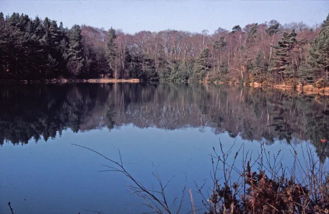
Blue Pool
Blue Pool — lake in Dorset, England, UK.
 📷 5
📷 5Natural landmarks · South East England
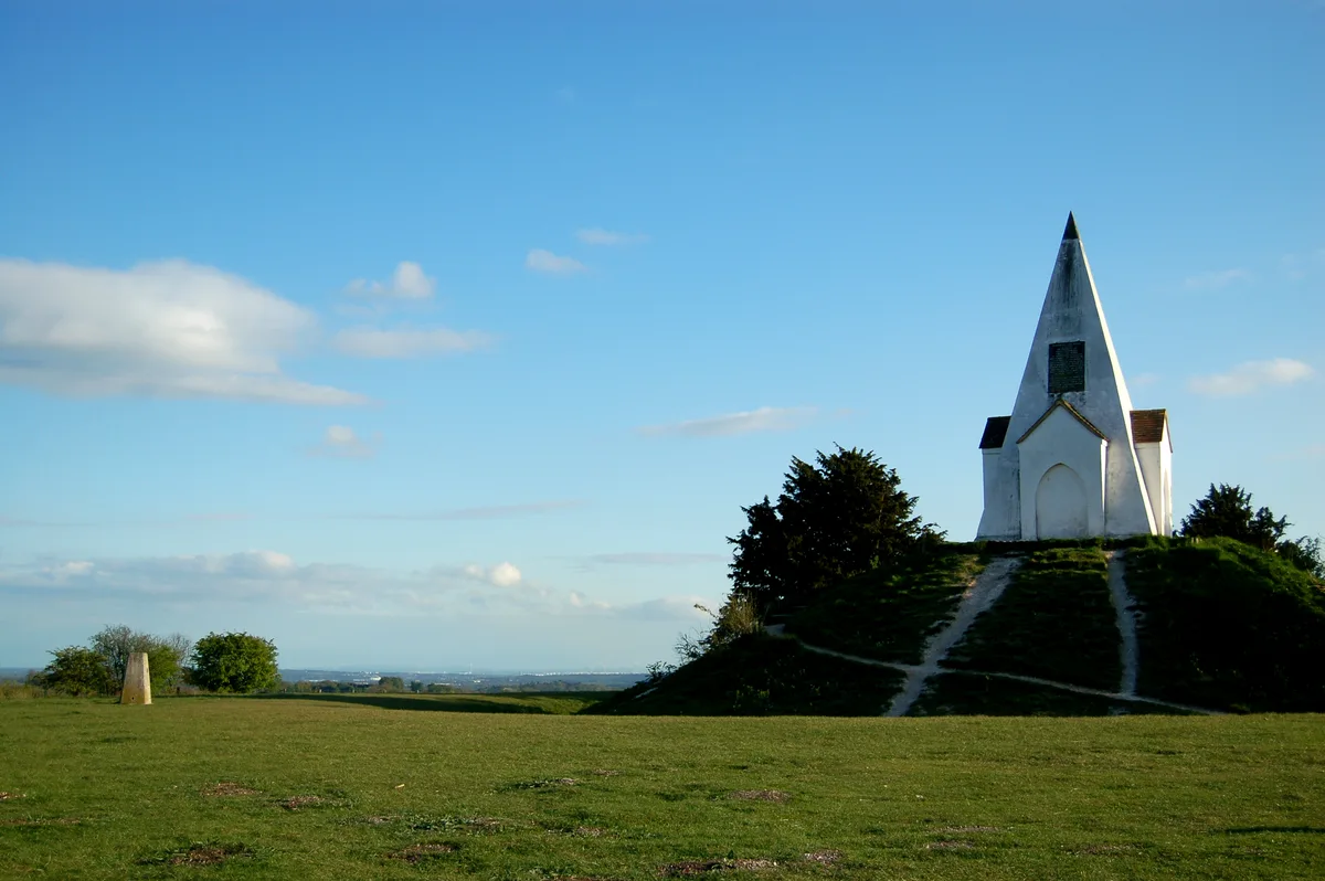
Farley Mount
Farley Mount — hill in Hampshire, United Kingdom.
 📷 5
📷 5Natural landmarks · South East England
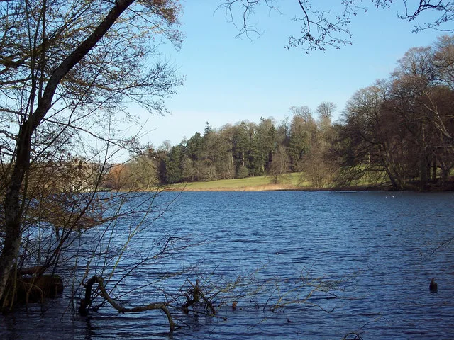
Fonthill Lake
Fonthill Lake — lake in Wiltshire, England, UK.
Frequently asked questions
- Where is Saint Margarets Bay?
- Saint Margarets Bay is in South-East England, United Kingdom.
- What is Saint Margarets Bay?
- Saint Margarets Bay — a natural feature in england south east.
- How do I get to Saint Margarets Bay?
- Its coordinates are 51.1500°, 1.3333°.