Stately homes · South East England
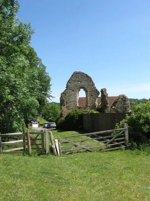
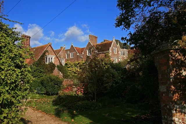
Ruins Of The Former Manor House
Ruins Of The Former Manor House — ruins in Rother, East Sussex, England, UK.

Wikimedia Commons contributors — see linked file page for photographer and licence licence
Plan your visit
- Typical visit
- 2 h–4 h
- Nearest railway station
- Bexhill · 0.5 km
- Family-friendly
- Limited wheelchair access
About
Ruins Of The Former Manor House is a historic house in East Sussex, South-East England. Built or established in 1250, it dates from the medieval period. Officially recognised as Grade II listed building. It sits within the Bexhill and Battle parliamentary constituency. The nearest railway station is Bexhill, about 0.5 km away. Postcode area TN40.
Photo gallery
Heritage listing
Details 1. 5207 TQ 7408 SE 1/21 11.5.49 DE LA WARR ROAD Old Town (South Side) Ruins of the former Manor House (formerly listed under Hastings Road) II 2. The large house of several periods has been demolished. Incorporated in this were certain medieval features. Parts of these have been retained and still exist as a planned ruin in the public garden. These consist of cobbled and stone walls with stone openings of doorways or windows and 1 fireplace, probably C19. Listing NGR: TQ7463607997 Legacy The contents of this record have been generated from a legacy data system. Legacy System number: 291984 Legacy System: LBS
From the Historic England List Entry under OGL v3.
Place summary
The Ruins Of The Former Manor House, located in Bexhill-on-Sea, East Sussex, are remnants of a stately home established around 1250. This Grade II listed building reflects the Norman-Medieval era, showcasing historical architectural significance.
AI-generated from the structured facts on this page (operator, designation, listing, era). Not a substitute for visiting.
- Coordinates
- 50.8452, 0.4792
- County
- East Sussex
- District
- Rother
- Parish
- Bexhill-on-Sea
- Postcode
- TN40 2HG
- Parliamentary constituency
- Bexhill and Battle
- Established
- 1250
- Nearest railway station
- Bexhill — 0.5 km
Sources
- wikidata: Q26296318 (CC0)
- commons: Former Manor House, Bexhil Old Town.jpg (CC BY-SA 4.0)
Other places nearby
Loading nearby places…
Nearby
 📷 5
📷 5Memorials & monuments · South East England
St. Peter's Church Commemorative Panel
St. Peter's Church Commemorative Panel — a memorial in england-south-east, United Kingdom.
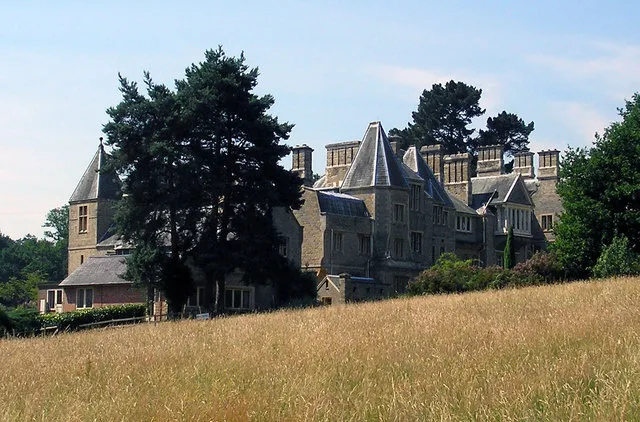
📷 5Manor houses · South East England
Former Manor House
Former Manor House — a manor in england-south-east, United Kingdom.
📷 5Memorials & monuments · South East England
William Sansom
William Sansom — a memorial in england-south-east, United Kingdom.
Cafés · South East England
The Old Town Tea Room
The Old Town Tea Room — a café in england south east.
 📷 5
📷 5Other places · South East England
Vintage Hand-cranked Drill
Vintage Hand-cranked Drill — Public artwork (sculpture).
 📷 5
📷 5Memorials & monuments · South East England
Peace Memorial
Peace Memorial — War memorial, dating to 1919-11-02.
Other places from this era
 📷 5
📷 5Stately homes · London
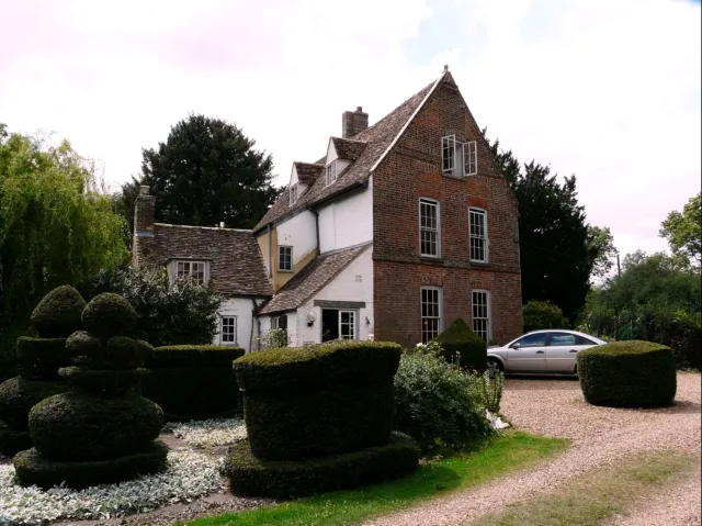
The Manor
The Manor — house in Huntingdonshire, England.
 📷 5
📷 5Stately homes · London
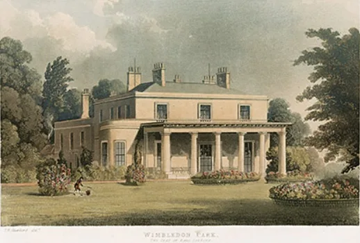
Wimbledon Manor House
Wimbledon Manor House — English country house at Wimbledon, Surrey.
 📷 5
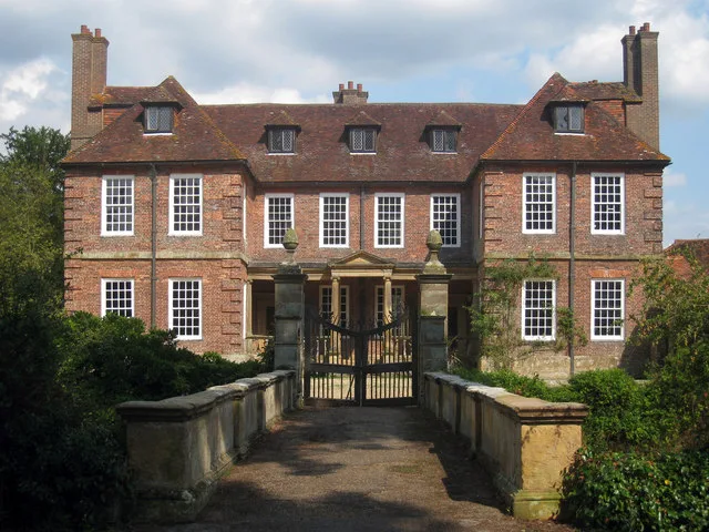
📷 5Stately homes · South East England
Manor house (remains of)
Manor house (remains of) — Crowhurst, East Sussex, England, UK.
 📷 5
📷 5Stately homes · South East England
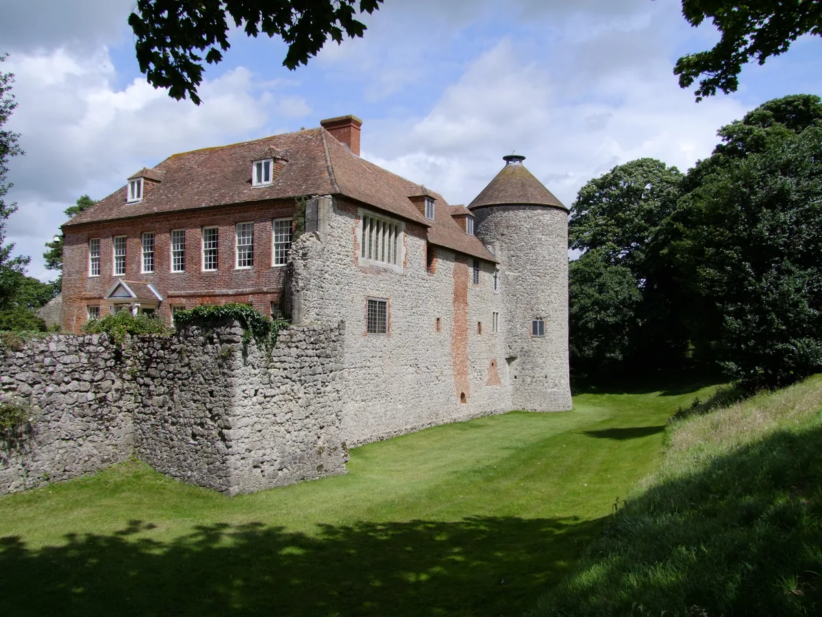
Westenhanger Castle
Westenhanger Castle — Grade I listed historic house museum in Shepway, United Kingdom.
More places in this region
 Flagship📷 9
Stately homes · South East England
Anderson Manor
Anderson Manor — Grade I listed manor house in Anderson, Dorset, England, UK.
 📷 10
📷 10Stately homes · South East England
Greathed Manor
Greathed Manor — manor house in Dormansland, Tandridge, Surrey, England, UK.
 Flagship📷 10
Stately homes · South East England
Groombridge Place
Groombridge Place — manor house in Speldhurst, Kent, England, UK.
 Flagship📷 10
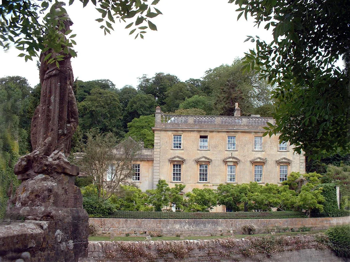
Stately homes · South East England
Iford Manor
Iford Manor — manor house in Somerset/Wiltshire, UK.
Frequently asked questions
- Where is Ruins Of The Former Manor House?
- Ruins Of The Former Manor House is in East Sussex, South-East England, United Kingdom (postcode TN40 2HG), in the parish of Bexhill-on-Sea.
- When was Ruins Of The Former Manor House built?
- Built or established in 1250.
- Is Ruins Of The Former Manor House a listed building?
- Ruins Of The Former Manor House is officially recognised as Grade II listed building listed.
- How do I get to Ruins Of The Former Manor House?
- The nearest railway station is Bexhill, about 0.5 km away. Drivers can navigate to postcode TN40 2HG.