
Historic bridges · Scottish Lowlands
Ruined Arch and Viaduct, Culzean Castle Estate
In or near Dailly.
Ruined Arch and Viaduct, Culzean Castle Estate — category A listed building-listed bridge in scotland-lowlands, United Kingdom.

Billy McCrorie — CC BY-SA 2.0 via Wikimedia Commons licence

Plan your visit
- Typical visit
- 15 min–30 min
- Nearest railway station
- Maybole · 6.4 km
- Free entry
- Dog-friendly
Getting there & planning your visit
To visit the Ruined Arch and Viaduct at Culzean Castle Estate, the nearest railway station is Maybole, which is 6.4 km away. The postcode for the location is KA19 8LE, and entry is free.
About
Ruined Arch and Viaduct, Culzean Castle Estate is a category A listed building-listed bridge in scotland-lowlands, United Kingdom, registered on the Historic Environment Scotland register (entry LB51827). Listed status protects buildings and structures of special architectural or historic interest. See the linked Wikipedia article for further details.
Photo gallery
Heritage listing
Category A Group Category Details 100000019 - See Notes Date Added 14/04/1971 Local Authority South Ayrshire Planning Authority South Ayrshire Parish Kirkoswald NGR NS 23421 10192 Coordinates 223421, 610192 — Robert Adam, circa 1785 and 1800, incorporating earlier structures. 6-arch, serpentine-plan, castellated viaduct, with archway as a mock ruin at the S end. Squared rubble construction with ashlar voussoirs and vaults. Gravelled carriageway. Late 20th century metal railings installed in apertures and lowered parapet of viaduct. RUINED ARCH: S ELEVATION: round-headed arch with irregular broken parapet. Roofless square tower to right (E) with round-headed doorway and gunloop at lower level. 2 narrow window apertures above. Screen wall with round-headed apertures extending to E. Roofless round tower to left (W) with gun loop at lower level and round-headed window aperture midway up. Round tower with roundheaded doorway on E side. Square tower with square window aperture on E and low rectangular doorway on N. INTERIOR (seen 2010): square tower with salvaged ancient fire surround of roll moulded ashlar and salvaged carved stones in window aperture. VIADUCT: W ELEVATION: 5 visible arches. Rectangular doorway on left (N) side. Parapet, with saddleback coping above machicolated cornice. 4 dummy square towers forming buttresses against spandrels and accommodating refuges in parapet wall. E ELEVATION: 6 visible arches. Rectangular doorway and round-headed window aperture, both with yetts, on right (N). Parapet, with saddleback coping, above machicolated cornice. 4 dummy square towers forming buttresses against spandrels and accommodating refuges from carriageway in parapet wall. Raised parapet to left (S), with 3 round-headed apertures. INTERIOR (seen 2010): concealed arch at
From Historic Environment Scotland under OGL v3.
Place summary
The Ruined Arch and Viaduct, located within the Culzean Castle Estate in the Scottish Lowlands, is a notable bridge and a category A listed building. Its historical significance contributes to the architectural heritage of the estate.
AI-generated from the structured facts on this page (operator, designation, listing, era). Not a substitute for visiting.
- Coordinates
- 55.3539, -4.7868
- District
- South Ayrshire
- Postcode
- KA19 8LE
- Parliamentary constituency
- Ayr, Carrick and Cumnock
- Nearest railway station
- Maybole — 6.4 km
- Official site
- www.nts.org.uk
Sources
- wikidata: Q17576293 (CC0)
Other places nearby

Orangery and Shelter, Terrace Walls, Including Fountain, Fountain Court, Culzean Castle Estate
Gardens · 0.1 km

Culzean Coves, caves
Caves · 0.2 km
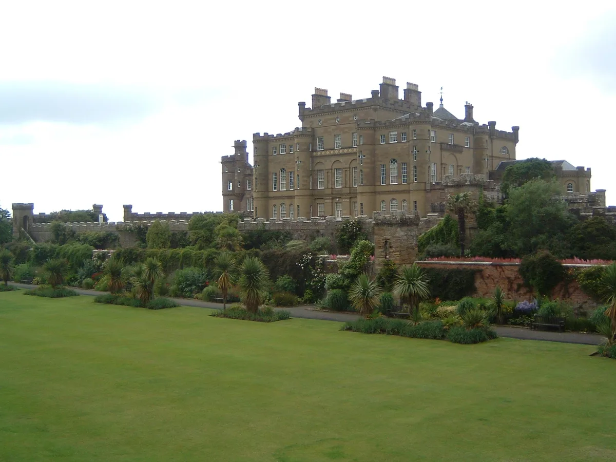
Culzean Castle
Castles · 0.2 km
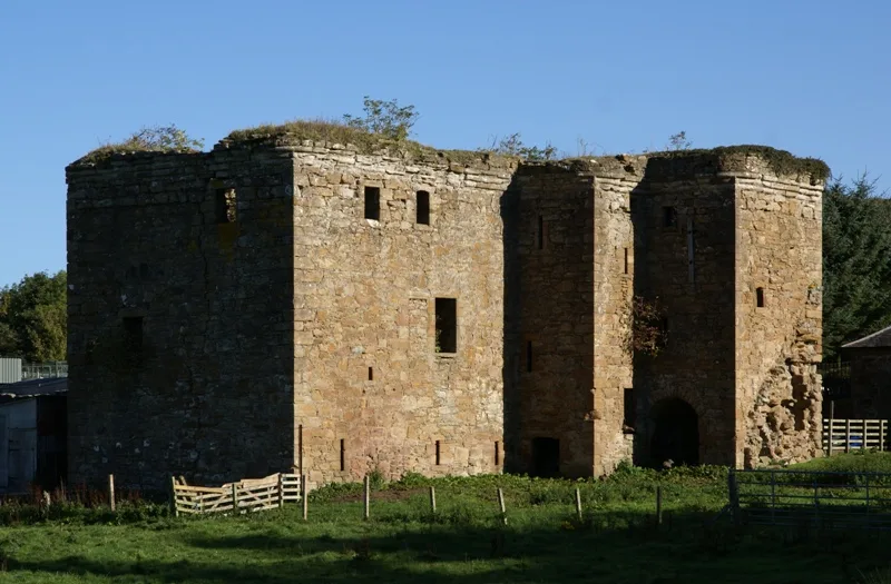
Thomaston Castle
Castles · 0.9 km

Culzean Bay
Natural landmarks · 0.9 km

Culzean Castle Camping and Caravanning Club Site
Campsites · 1.1 km

Croy Beach
Beaches · 1.8 km

Old Mill Caravan Park
Caravan parks · 1.9 km

Dead Knowe, dun site
Archaeological sites · 2.2 km

Maidenhead Bay
Natural landmarks · 2.3 km

Balchriston, dun site
Archaeological sites · 2.5 km

Old Parish Church and Graveyard, Kirkoswald
Historic churches · 2.7 km
Nearby
📷 3Gardens · Scottish Lowlands
Orangery and Shelter, Terrace Walls, Including Fountain, Fountain Court, Culzean Castle Estate
Orangery and Shelter, Terrace Walls, Including Fountain, Fountain Court, Culzean Castle Estate — architectural structure in South Ayrshire, Scotland, UK.
📷 5Caves · Scottish Lowlands
Culzean Coves, caves
Culzean Coves, caves — a cave broad in scotland-lowlands, United Kingdom.
📷 4Castles · Scottish Lowlands
Culzean Castle
Culzean Castle — country house incorporating earlier castle and tower house fabric, near Maybole, South Ayrshire, Scotland, UK.
📷 3Castles · Scottish Lowlands
Thomaston Castle
Thomaston Castle — castle in South Ayrshire, Scotland, UK.
📷 5Natural landmarks · Scottish Lowlands
Culzean Bay
Culzean Bay — a natural feature in scotland lowlands.
📷 5Campsites · Scottish Lowlands
Culzean Castle Camping and Caravanning Club Site
Culzean Castle Camping and Caravanning Club Site — a campsite in scotland lowlands.
Where to eat & stay near Ruined Arch and Viaduct, Culzean Castle Estate
Places to stay
📷 5Campsites · Scottish Lowlands
Culzean Castle Camping and Caravanning Club Site
Culzean Castle Camping and Caravanning Club Site — a campsite in scotland lowlands.
📷 5Caravan parks · Scottish Lowlands
Old Mill Caravan Park
Old Mill Caravan Park — a caravan park in scotland lowlands.
 📷 5
📷 5Caravan parks · Scottish Lowlands
Sandy Beach Caravan Park
Sandy Beach Caravan Park — a caravan park in scotland lowlands.
📷 5Caravan parks · Scottish Lowlands
Redgates Holiday Park
Redgates Holiday Park — a caravan park in scotland lowlands.
 📷 5
📷 5 📷 5
📷 5Places to eat & drink
 📷 5
📷 5Historic pubs · Scottish Lowlands
The White House and Adjoining Joiner's Shop, Kirkmichael Arms, Straiton Road, Kirkmichael
The White House and Adjoining Joiner's Shop, Kirkmichael Arms, Straiton Road, Kirkmichael in Scotland Lowlands, United Kingdom.
 📷 5
📷 5Historic pubs · Scottish Lowlands
Railway Tavern, 18 Smith Street, Ayr
Railway Tavern, 18 Smith Street, Ayr in Scotland Lowlands, United Kingdom.
 📷 5
📷 5Historic pubs · Scottish Lowlands
Doon Tavern, High Street, Dalmellington
Doon Tavern, High Street, Dalmellington in Scotland Lowlands, United Kingdom.
More bridges in this region
 📷 5
📷 5 📷 3
📷 3Historic bridges · Scottish Lowlands
Spittal-on-Rule
Spittal-on-Rule in England North East, United Kingdom.
 📷 4
📷 4Historic bridges · Scottish Lowlands
Coldstream Bridge
Coldstream Bridge in England North East, United Kingdom.
 📷 3
📷 3Frequently asked questions
- Where is Ruined Arch and Viaduct, Culzean Castle Estate?
- Ruined Arch and Viaduct, Culzean Castle Estate is in the Scottish Lowlands, United Kingdom (postcode KA19 8LE).
- What is Ruined Arch and Viaduct, Culzean Castle Estate?
- Ruined Arch and Viaduct, Culzean Castle Estate — category A listed building-listed bridge in scotland-lowlands, United Kingdom.
- How do I get to Ruined Arch and Viaduct, Culzean Castle Estate?
- The nearest railway station is Maybole, about 6.4 km away. Drivers can use postcode KA19 8LE.
- Is Ruined Arch and Viaduct, Culzean Castle Estate a listed building?
- Ruined Arch and Viaduct, Culzean Castle Estate is officially recognised as category A listed building listed.
- Is Ruined Arch and Viaduct, Culzean Castle Estate free to visit?
- Yes, Ruined Arch and Viaduct, Culzean Castle Estate is free to enter.
- How do I get to Ruined Arch and Viaduct, Culzean Castle Estate?
- The nearest railway station is Maybole, about 6.4 km away. Drivers can navigate to postcode KA19 8LE.