
Memorials & monuments · Scottish Islands
Rubha an Dùnain
Rubha an Dùnain in Scotland Islands, United Kingdom.

Nigel Homer — CC BY-SA 2.0 via Wikimedia Commons licence

Plan your visit
- Typical visit
- 15 min–45 min
- Free entry
- Dog-friendly
About
Rubha an Dùnain is a place of interest in Scotland Islands, United Kingdom — drawn from open-data sources for visitor reference. See the linked Wikipedia article for the full description.
Photo gallery
From the Wikipedia article
Rubha an Dùnain or Rubh' an Dùnain (Scottish Gaelic pronunciation: [ᵲu(.ə) ən t̪uːnən]) is an uninhabited peninsula to the south of the Cuillin hills on the Isle of Skye in Scotland. It contains unique archaeological sites which in 2017 were designated as a historic monument of national importance by Historic Environment Scotland. This headland rises to over 30 metres (100 feet) above sea level. Loch na h-Àirde (Scottish Gaelic pronunciation: [ɫ̪ɔx nə haːɾʃtʲə]) is a body of water that is situated to the east of the peninsula close to the sea shore. To its north is Camas a' Mhùrain (bay of the marram grass). The peninsula contains archaeological sites dating from the Mesolithic period onwards. Its name means "point of the little fort", referencing a prehistoric dun situated south of the loch.
Excerpt from Wikipedia under CC BY-SA 4.0. See the source article linked in Sources below.
- Coordinates
- 57.1613, -6.3191
- Address
- Skye, Scotland
Sources
- wikidata: Q1143778 (CC0)
- wikipedia: Rubha an Dùnain (CC BY-SA 4.0)
Other places nearby

Skye, Rubh' an Dunain
Vineyards · 0.6 km

Rubh' an Dunain
Archaeological sites · 0.6 km

Sgùrr nan Cearcall
Mountains & hills · 2.3 km

Loch Brittle
Natural landmarks · 2.9 km
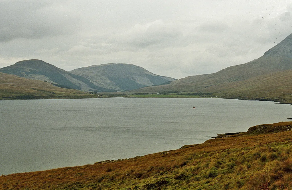
Loch Brittle
Mountains & hills · 3.8 km

Ceann na Beinne
Mountains & hills · 4.0 km

Beinn an Eoin
Mountains & hills · 4.1 km

Beinn an Eoin
Mountains & hills · 4.4 km

Cnoc na Moil Deirge
Mountains & hills · 4.9 km

Glenbrittle Campsite
Campsites · 4.9 km

Bualintur
Memorials & monuments · 5.1 km
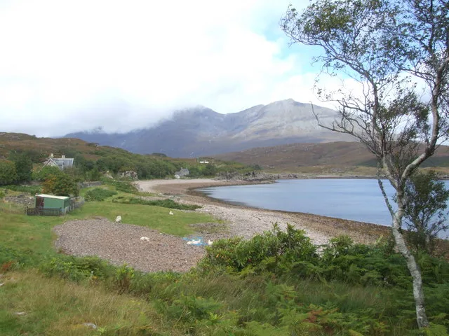
Soay
Islands · 5.5 km
Nearby
📷 5Vineyards · Scottish Islands
Skye, Rubh' an Dunain
Skye, Rubh' an Dunain — a UK vineyard in scotland highlands, producing English or Welsh wine from cool-climate grape varieties.
📷 3Archaeological sites · Scottish Islands
Rubh' an Dunain
Rubh' an Dunain — a archaeological in scotland-highlands, United Kingdom.
📷 5Mountains & hills · Scottish Islands
Sgùrr nan Cearcall
Sgùrr nan Cearcall — mountain in scotland highlands. Elevation: 113 m.
📷 5Natural landmarks · Scottish Islands
Loch Brittle
Loch Brittle — a natural feature in scotland highlands.
📷 5Mountains & hills · Scottish Islands
Loch Brittle
Loch Brittle — bay on the west of Skye, Highland, Scotland, UK.
📷 5Mountains & hills · Scottish Islands
Ceann na Beinne
Ceann na Beinne — a hill or mountain in scotland highlands.
Where to eat & stay near Rubha an Dùnain
Places to stay
📷 5Campsites · Scottish Islands
Glenbrittle Campsite
Glenbrittle Campsite — a campsite in scotland highlands.
 📷 5
📷 5Hostels · Scottish Islands
Glenbrittle Youth Hostel
Glenbrittle Youth Hostel — a hostel in scotland highlands. Brand: Hostelling Scotland.
 📷 5
📷 5Campsites · Scottish Islands
Canna Campsite
Canna Campsite — a campsite in scotland highlands.
 📷 5
📷 5Hostels · Scottish Highlands
Sligachan Bunkhouse
Sligachan Bunkhouse — a hostel in scotland highlands.
 📷 5
📷 5Campsites · Scottish Highlands
Sligachan Campsite
Sligachan Campsite — a campsite in scotland highlands.
 📷 5
📷 5More memorials in this region
 📷 3
📷 3Memorials & monuments · Scottish Islands
Angus MacAskill Monument
Angus MacAskill Monument is a memorial in the United Kingdom.
 📷 3
📷 3Memorials & monuments · Scottish Islands
Buchanan Monument
Buchanan Monument is a memorial in the United Kingdom.
 📷 3
📷 3Memorials & monuments · Scottish Islands
Cuimhneachan Cogaidh Leòdhais
Cuimhneachan Cogaidh Leòdhais — Monument, dating to 1924.
 📷 5
📷 5Memorials & monuments · Scottish Islands
Moire ro Naomh nan Eilean
Moire ro Naomh nan Eilean is a memorial in the United Kingdom.
Frequently asked questions
- Where is Rubha an Dùnain?
- Rubha an Dùnain is in the Scottish Islands, United Kingdom.
- What is Rubha an Dùnain?
- Rubha an Dùnain in Scotland Islands, United Kingdom.
- How do I get to Rubha an Dùnain?
- Its coordinates are 57.1613°, -6.3191°.
- Who owns Rubha an Dùnain?
- Rubha an Dùnain is owned by | designation =.
- Is Rubha an Dùnain free to visit?
- Yes, Rubha an Dùnain is free to enter.