
Science centres · North East England
Royal Victoria Infirmary
In or near Newcastle upon Tyne.
Royal Victoria Infirmary in England North East, United Kingdom.

Eirian Evans — CC BY-SA 2.0 via Wikimedia Commons licence

Plan your visit
- Typical visit
- 2 h–4 h
- Nearest railway station
- Haymarket · 0.5 km
- Family-friendly
- Limited wheelchair access
About
Royal Victoria Infirmary is a place of interest in England North East, United Kingdom — drawn from open-data sources for visitor reference. See the linked Wikipedia article for the full description.
Photo gallery
From the Wikipedia article
The Royal Victoria Infirmary (RVI) is a 673-bed tertiary referral hospital and research centre in Newcastle upon Tyne, England, with strong links to Newcastle University. The hospital is part of the Newcastle upon Tyne Hospitals NHS Foundation Trust and is a designated academic health science centre.
Excerpt from Wikipedia under CC BY-SA 4.0. See the source article linked in Sources below.
Background
History
The original hospital was the Newcastle upon Tyne Infirmary at Forth Banks which was funded by way of public subscription. The foundation stone was laid by Joseph Butler, the Bishop of Durham, on 5 September 1751, following the proposals of Richard Lambert. It opened on 8 October 1753. By the end of the 19th century, despite major extensions including the Dobson Wing which opened in 1855 and the Ravensworth Wards which opened in 1885, the infirmary became overcrowded and needed to be replaced. A new hospital to be known as the Royal Victoria Infirmary was designed by William Lister Newcomb and Percy Adams and built on 10 acre of Town Moor given by the Corporation and Freemen of the City of…
Sourced from Wikipedia under CC BY-SA 4.0.
- Coordinates
- 54.9810, -1.6200
- District
- Newcastle upon Tyne
- Parish
- Newcastle upon Tyne, unparished area
- Postcode
- NE1 4LP
- Parliamentary constituency
- Newcastle upon Tyne Central and West
- Established
- 1751
- Nearest railway station
- Haymarket — 0.5 km
- Official site
- www.newcastle-hospitals.nhs.uk
Sources
- wikidata: Q7374975 (CC0)
- wikipedia: Royal Victoria Infirmary (CC BY-SA 4.0)
Featured in this guide
Other places nearby
Great North Children's Hospital
Other places · 0.0 km

Newcastle University Dental School
Other places · 0.1 km

Blue Shield International
Memorials & monuments · 0.3 km

Centre for Software Reliability
Other places · 0.3 km
McCord Centre for Landscape
Archaeological sites · 0.3 km
Shefton Museum
Museums · 0.3 km

Global Urban Research Unit
Other places · 0.3 km

Dr Martin Luther King Jr.
Other places · 0.3 km

Leazes Park Relief Map
Public art & sculpture · 0.3 km

Castle Leazes
Parks · 0.3 km

British Society for Eighteenth-Century Studies
Other places · 0.3 km

Student Forum
Natural landmarks · 0.3 km
Nearby
📷 4Other places · North East England
Great North Children's Hospital
Great North Children's Hospital in England North East, United Kingdom.
📷 3Other places · North East England
Newcastle University Dental School
Newcastle University Dental School in England North East, United Kingdom.
📷 4Memorials & monuments · North East England
Blue Shield International
Blue Shield International in England North East, United Kingdom.
📷 3Other places · North East England
Centre for Software Reliability
Centre for Software Reliability in England North East, United Kingdom.
📷 3Archaeological sites · North East England
McCord Centre for Landscape
McCord Centre for Landscape in England North East, United Kingdom.
📷 3Museums · North East England
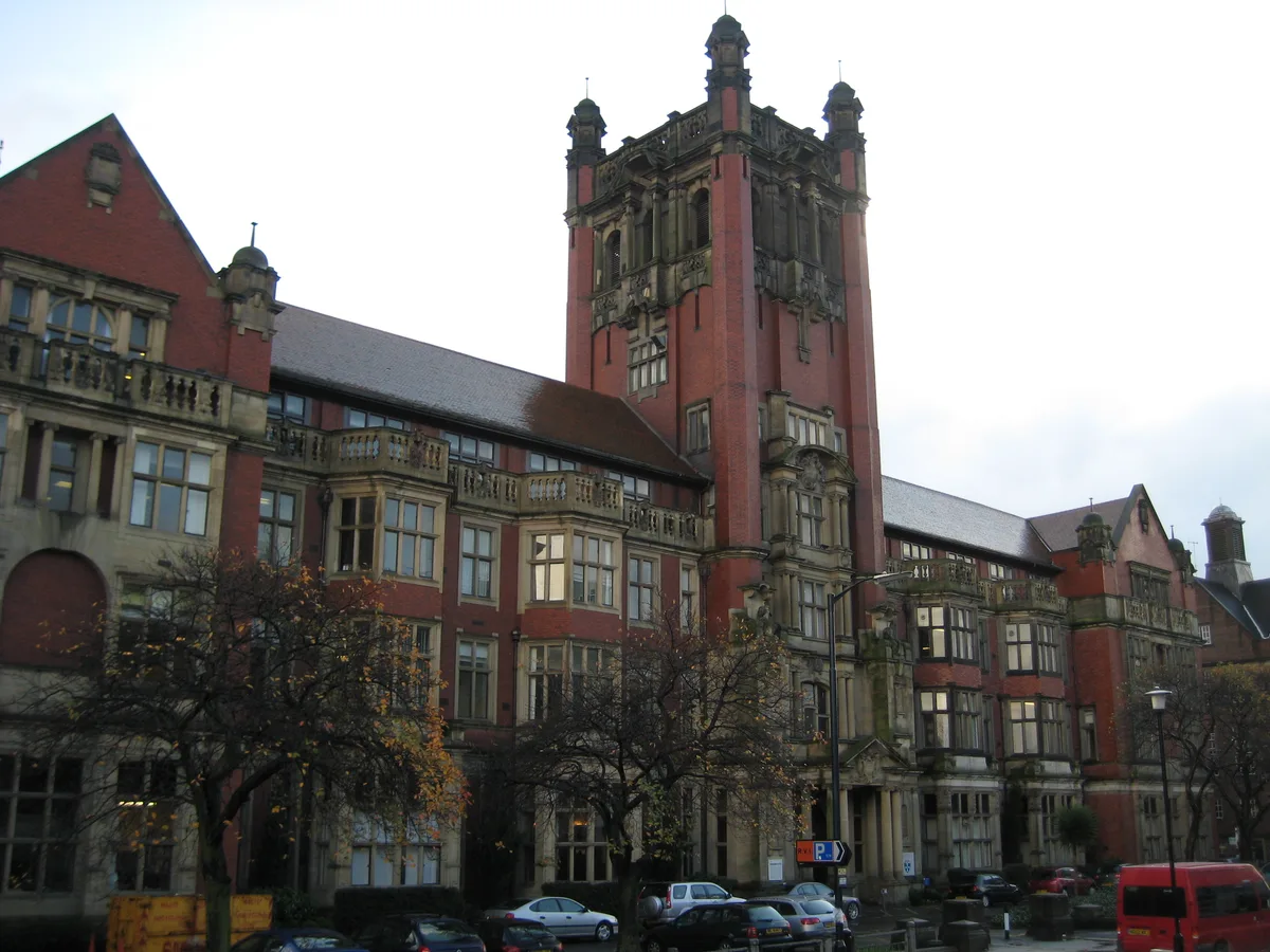
Shefton Museum
Shefton Museum — archaeology museum in England, UK.
Where to eat & stay near Royal Victoria Infirmary
Places to stay
Hotels · North East England
Maldron Hotel Newcastle
Maldron Hotel Newcastle — a hotel in scotland lowlands. 4-star. Brand: Maldron Hotels.
 📷 5
📷 5Hostels · North East England
Heroes Bunkz
Heroes Bunkz — a hostel in scotland lowlands.

Hostels · North East England
Kabannas Newcastle
Kabannas Newcastle — a hostel in scotland lowlands.
 📷 5
📷 5Hostels · North East England
Albatross Hostel
Albatross Hostel — a hostel in scotland lowlands.
 📷 5
📷 5 📷 5
📷 5Hotels · North East England
Grey Street Hotel
Grey Street Hotel — a hotel in scotland lowlands.
Places to eat & drink
 📷 5
📷 5Historic pubs · North East England
The Cordwainers' Public House
The Cordwainers' Public House in Scotland Lowlands, United Kingdom.
 📷 5
📷 5Historic pubs · North East England
Theatre Royal Lounge And Restaurant; The Royal Public House
Theatre Royal Lounge And Restaurant; The Royal Public House in Scotland Lowlands, United Kingdom.
 📷 5
📷 5Historic pubs · North East England
Liberty House
Liberty House in Scotland Lowlands, United Kingdom.
 📷 5
📷 5Historic pubs · North East England
The Balmoral Public House
The Balmoral Public House in Scotland Lowlands, United Kingdom.
 📷 5
📷 5Restaurants · North East England
Cilantro
Cilantro — a restaurant in scotland lowlands.
 📷 5
📷 5Restaurants · North East England
House Of Tides
House Of Tides — a restaurant in scotland lowlands.
Other works by Charles Holden
 📷 5
📷 5 📷 5
📷 5Historic houses · London
Southgate tube station
Southgate tube station — a Grade II*-listed historic house in england-london, United Kingdom.
 📷 5
📷 5Historic houses · London
Acton Town tube station
Acton Town tube station — a Grade II-listed historic house in england-london, United Kingdom.
 📷 5
📷 5Heritage railway stations · London
Balham tube station
Balham tube station — a Grade II-listed railway station in england-london, United Kingdom.
More places in this region
 📷 3
📷 3 📷 4
📷 4Science centres · North East England
Centre for Life
Centre for Life in England North East, United Kingdom.
 📷 3
📷 3Science centres · North East England
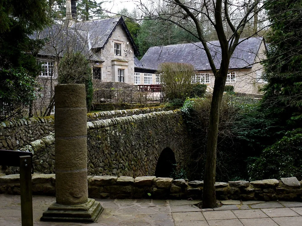
Chesterholm Museum - Vindolanda
Chesterholm Museum - Vindolanda — museum at Vindolanda Roman Fort, Northumberland, England, UK.
 📷 3
📷 3Science centres · North East England
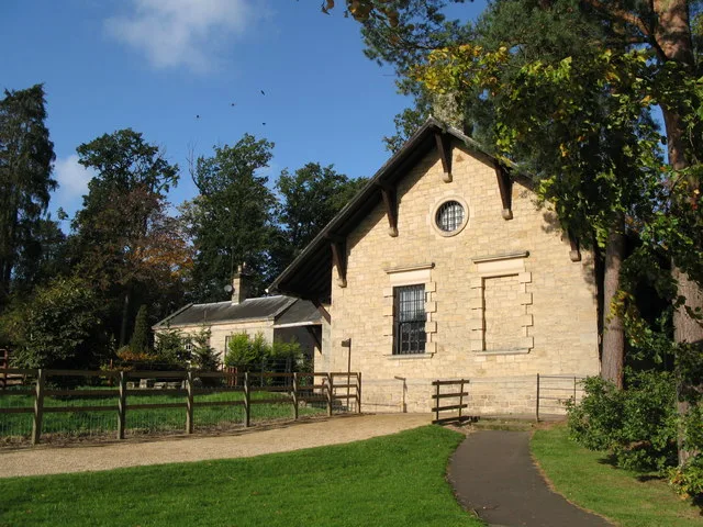
Clayton Museum
Clayton Museum — museum building at Chesters Roman Fort, Northumberland, England, UK.
Frequently asked questions
- Where is Royal Victoria Infirmary?
- Royal Victoria Infirmary is in North-East England, United Kingdom (postcode NE1 4LP), in the parish of Newcastle upon Tyne, unparished area.
- What is Royal Victoria Infirmary?
- Royal Victoria Infirmary in England North East, United Kingdom.
- How do I get to Royal Victoria Infirmary?
- The nearest railway station is Haymarket, about 0.5 km away. The nearest town is Newcastle upon Tyne. Drivers can use postcode NE1 4LP.
- When was Royal Victoria Infirmary built?
- Built or established in 1751. Designed by Charles Holden.
- How do I get to Royal Victoria Infirmary?
- The nearest railway station is Haymarket, about 0.5 km away. Drivers can navigate to postcode NE1 4LP.