
Historic houses · South West England
Royal Fort House
In or near Bristol.
Royal Fort House — house in Bristol, UK; now part of the University of Bristol.

Wikimedia Commons contributors — see linked file page for photographer and licence licence

Plan your visit
- Typical visit
- 1 h–2 h
- Nearest railway station
- Clifton Down · 1.0 km
- Free entry
- Family-friendly
- Limited wheelchair access
Getting there & planning your visit
To visit Royal Fort House, the nearest railway station is Clifton Down, located 1 km away. The postcode for sat-nav is BS8 1UH. Accessibility is limited for wheelchair users.
About
Royal Fort House is a historic house in the United Kingdom — typically a country seat, manor, or town house with notable architecture or history. Records date its origin to 1761. Designed by James Bridges. Heritage designation: Grade I listed building. Owned by Thomas Tyndall. Part of University of Bristol. Wikidata describes it as: "house in Bristol, UK; now part of the University of Bristol". Coordinates: 51.4578°, -2.6018°.
Photo gallery
Official information
Royal Fort House features 'Hollow', a public artwork by Katie Paterson and Zeller & Moye, showcasing a miniature forest of over 10,000 unique tree species from around the world. Visitors can explore the stories and historical significance of these trees, which are housed within the artwork, while also learning about the planet's ecological history.
Protected designations
- Site of Special Scientific Interest: Severn Estuary SSSI
Designations sourced from Natural England open data under OGL v3.
From the Wikipedia article
The Royal Fort House is a historic house in Tyndall's Park, Bristol. The building currently houses the University of Bristol's Faculty of Science offices, the Brigstow Institute, Elizabeth Blackwell Institute for Health Research, the Cabot Institute and the Jean Golding Institute for data-intensive research. The house was built for Thomas Tyndall KCB, in the 18th century, on the site of bastions which were fought over during the English Civil War and demolished in 1655. The Baroque, Palladian and Rococo styles of architecture are because of the work of three different architects: James Bridges, Thomas Paty, John Wallis. The garden was laid out by Humphry Repton around 1800.
Excerpt from Wikipedia under CC BY-SA 4.0. See the source article linked in Sources below.
Background
History
The house was constructed on the site of a Civil War fortification, which had two bastions on the inside of the lines and three on the outside. It was the strongest part of the defences of Bristol, designed by Dutch military engineer Sir Bernard de Gomme. It was one of the few purpose-built defensive works of the war era. The fort was designed as the western headquarters of the Royalist army under Prince Rupert. Royalists retreated into the fort when the Parliamentarians had broken through the lines in the siege of 1645, before eventually surrendering to Cromwell's forces. The fort was demolished around 1655. The "Royal" in the name was in honour of Prince Rupert, when he was made Governor…
Architecture
The design of the mid-eighteenth-century house by James Bridges, for Thomas Tyndall KCB, was a compromise between the separate designs of architects Thomas Paty, John Wallis and himself. This led to different classical styles: Baroque, Palladian and Rococo, for three of the facades of the house. It was built between 1758 and 1761, by Thomas Paty with plasterwork by Thomas Stocking. A later Colonel Thomas Tyndall employed Humphry Repton from 1799, to landscape the gardens which form a small part of Tyndall's Park, which extended to Whiteladies Road in the west, Park Row in the south and Cotham Hill to the north. Over the years large parts of the park were sold for housing development, as the…
Sourced from Wikipedia under CC BY-SA 4.0.
- Coordinates
- 51.4578, -2.6018
- District
- Bristol, City of
- Parish
- Bristol, City of, unparished area
- Postcode
- BS8 1UH
- Parliamentary constituency
- Bristol Central
- Established
- 1761
- Nearest railway station
- Clifton Down — 1 km
Sources
- wikidata: Q7374192 (CC0)
- wikipedia: Royal Fort House (CC BY-SA 4.0)
- commons: 070522 ukbris rfh.jpg (CC BY-SA 4.0)
Other places nearby

Henrietta Lacks
Public art & sculpture · 0.0 km

Eagle & prey
Public art & sculpture · 0.1 km
Mirror Maze
Public art & sculpture · 0.1 km

Hollow
Heritage railway stations · 0.1 km
Night Owls
Public art & sculpture · 0.1 km

Motivation
Public art & sculpture · 0.1 km

Bristol Baptist College
Ironworks & forges · 0.1 km

Cantocks Steps Monkey
Public art & sculpture · 0.1 km

Hanging Gardens
Public art & sculpture · 0.1 km

Flat Out
Public art & sculpture · 0.1 km

Code Connection
Public art & sculpture · 0.2 km

Palm Temple
Public art & sculpture · 0.2 km
Nearby
📷 3Public art & sculpture · South West England
Henrietta Lacks
Henrietta Lacks — Public artwork (statue).
📷 3Public art & sculpture · South West England
Eagle & prey
Eagle & prey — a public art in South West England, United Kingdom.
📷 3Public art & sculpture · South West England
Mirror Maze
Mirror Maze — a public art in South West England, United Kingdom.
📷 3Heritage railway stations · South West England
Hollow
Hollow — Public artwork (sculpture) by John Huggins.
📷 3Public art & sculpture · South West England
Night Owls
Night Owls — a public art in South West England, United Kingdom.
📷 4Public art & sculpture · South West England
Motivation
Motivation — a public art in South West England, United Kingdom.
Where to eat & stay near Royal Fort House
Places to stay
 📷 5
📷 5Hostels · South West England
Princess Campbell House
Princess Campbell House — a hostel in england south west.
 📷 5
📷 5 📷 5
📷 5Hotels · South West England
Premier Inn
Premier Inn — a hotel in england south west.
 📷 5
📷 5Hostels · South West England
Bristol Backpackers Youth Hostel
Bristol Backpackers Youth Hostel — a hostel in england south west.
 📷 5
📷 5 📷 5
📷 5Places to eat & drink
 📷 6
📷 6Historic pubs · South West England
The Robin Hood Public House And Attached Front Area Railings
The Robin Hood Public House And Attached Front Area Railings in Wales South, United Kingdom.
 📷 5
📷 5 📷 5
📷 5Historic pubs · South West England
The White Bear
The White Bear in Wales South, United Kingdom.
%2004.jpg?width=1200) 📷 5
📷 5 📷 5
📷 5 📷 5
📷 5Cafés · South West England
Chance & Counters
Chance & Counters — a café in england south west.
Other works by James Bridges
 📷 5
📷 5Historic churches · South West England
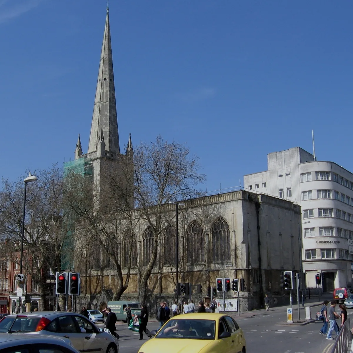
St Nicholas, Bristol
St Nicholas, Bristol — church in Bristol, England, UK.
Other historic houses from this era
 Flagship📷 10
Historic houses · London
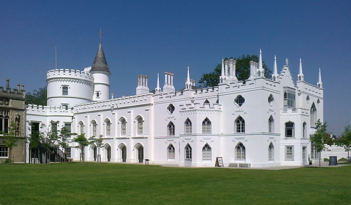
Strawberry Hill House
Strawberry Hill House — villa and house museum in Twickenham, London, United Kingdom.
 📷 5
📷 5Historic houses · London
12, Upper Grosvenor Street W1
12, Upper Grosvenor Street W1 — House in Mayfair, London W1.
 📷 5
📷 5Historic houses · London
123 Mortlake High Street
123 Mortlake High Street — house and former town hall in Mortlake, London.
 📷 5
📷 5Historic houses · London
15, Upper Grosvenor Street W1
15, Upper Grosvenor Street W1 — building in Westminster, London, England, UK.
More historic houses in this region
 📷 5
📷 5Historic houses · South West England
1 South Parade
1 South Parade — Grade I listed house in Bath, Somerset, England, UK.
_(geograph_6440799).jpg?width=1200) 📷 5
📷 5Historic houses · South West England
1-4 Lansdowne Grove, Morris Lane
1-4 Lansdowne Grove, Morris Lane — houses in Devizes, Wiltshire, England, UK.
 📷 5
📷 5Historic houses · South West England
2 North Parade
2 North Parade — building in Bath, UK; part of Abbey Hotel.
 📷 5
📷 5Historic houses · South West England
2, South Place, Lacock Road
2, South Place, Lacock Road — house in Corsham, Wiltshire, England, UK.
Frequently asked questions
- Where is Royal Fort House?
- Royal Fort House is in South-West England, United Kingdom (postcode BS8 1UH), in the parish of Bristol, City of, unparished area.
- What is Royal Fort House?
- Royal Fort House — house in Bristol, UK; now part of the University of Bristol.
- How do I get to Royal Fort House?
- The nearest railway station is Clifton Down, about 1.0 km away. The nearest town is Bristol. Drivers can use postcode BS8 1UH.
- When was Royal Fort House built?
- Built or established in 1761. Designed by James Bridges.
- Who owns Royal Fort House?
- Royal Fort House is owned by Thomas Tyndall.
- Is Royal Fort House a listed building?
- Royal Fort House is officially recognised as Grade I listed building listed.
- Is Royal Fort House a protected site?
- Yes — Royal Fort House is part of the Severn Estuary SSSI Site of Special Scientific Interest.
- Is Royal Fort House free to visit?
- Yes, Royal Fort House is free to enter.