Islands · Scottish Islands
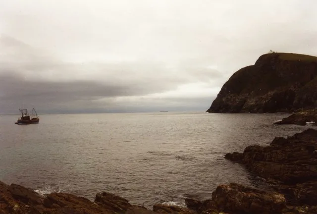
Rona
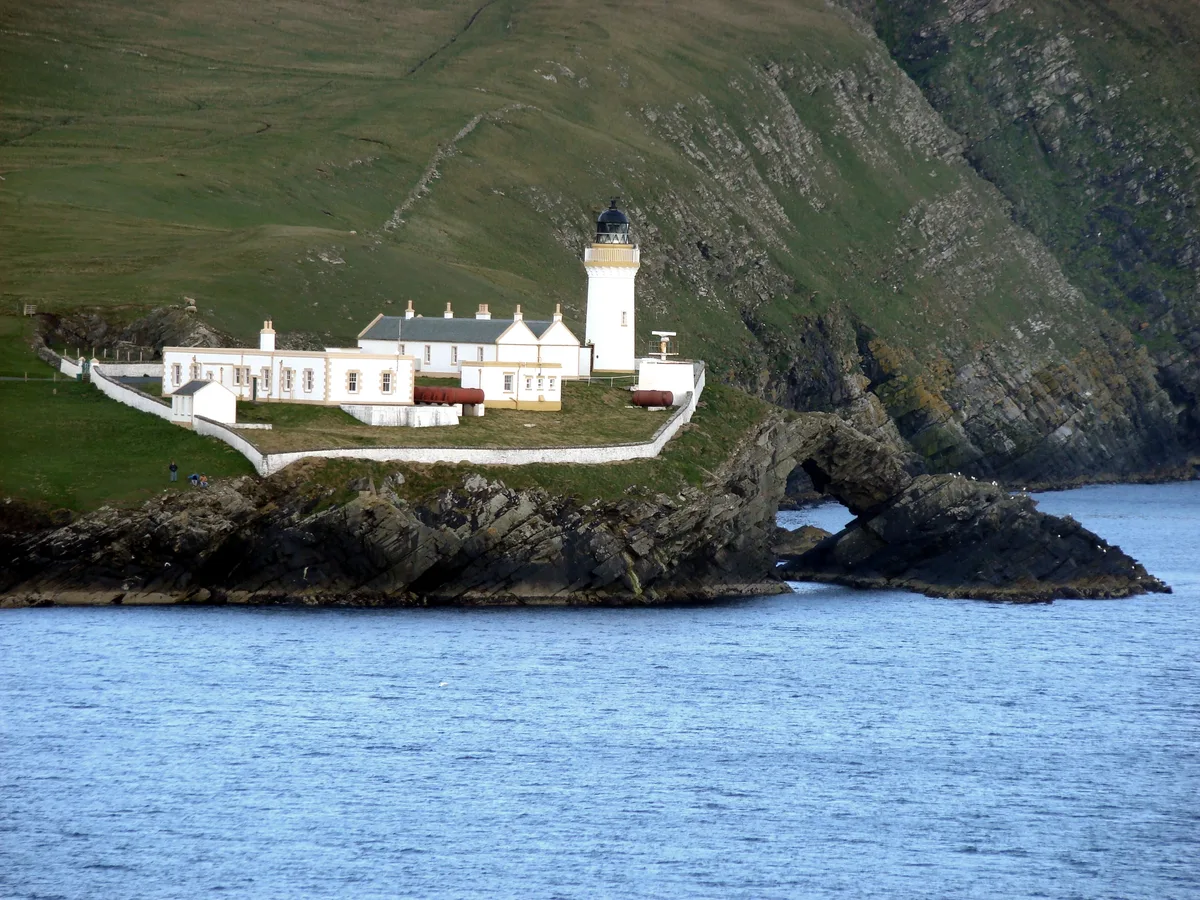
Rona — Scottish island in the North Atlantic.

Wikimedia Commons contributors — see linked file page for photographer and licence licence
Plan your visit
- Typical visit
- 4 h–12 h
- Dog-friendly
About
Rona is a island in the United Kingdom. It covers approximately 1 km². Part of Outer Hebrides. Wikidata describes it as: "Scottish island in the North Atlantic". Coordinates: 59.1220°, -5.8249°.
Photo gallery
From the Wikipedia article
Rona (Scottish Gaelic: Rònaigh) is an uninhabited Scottish island in the North Atlantic. It is often referred to as North Rona to distinguish it from the island of South Rona in the Inner Hebrides. It has an area of 109 hectares (270 acres) and a maximum elevation of 108 metres (354 ft). It is the most isolated island in the British Isles to have been inhabited on a long-term basis. Rona is included within the historic county of Ross-shire. Although uninhabited, the island (along with Sula Sgeir) is included in the Western Isles Council electoral ward of An Taobh Siar agus Nis, the Scottish Parliament constituency of Na h-Eileanan an Iar, the electoral region of Highlands and Islands, and the UK Parliament constituency of Na h-Eileanan an lar.
Excerpt from Wikipedia under CC BY-SA 4.0. See the source article linked in Sources below.
- Coordinates
- 59.1220, -5.8249
Sources
- wikidata: Q773842 (CC0)
- wikipedia: North Rona (CC BY-SA 4.0)
- commons: Cave on North Rona.jpg (CC BY-SA 4.0)
Other places nearby
Loading nearby places…
Nearby
 📷 3
📷 3Archaeological sites · Scottish Islands
Teampull Naoimh Ronain
Teampull Naoimh Ronain — a archaeological in scotland-islands, United Kingdom.
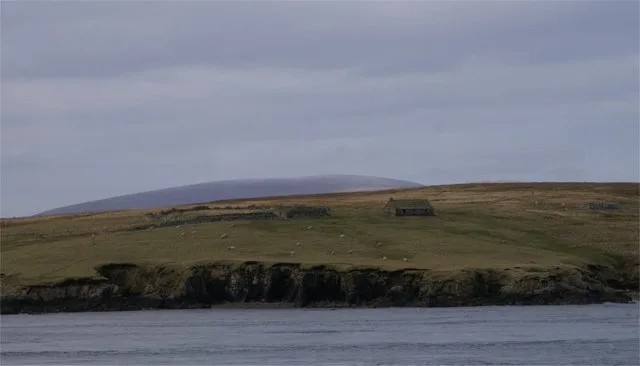
📷 5Historic churches · Scottish Islands
St Ronan's Church & village settlement,Rona
St Ronan's Church & village settlement,Rona — scheduled monument-listed church in scotland-islands, United Kingdom.
📷 3Historic houses · Scottish Islands
fang
fang — a historic house in scotland-islands, United Kingdom.
📷 3Beaches · Scottish Islands
Leac na Sgròb
Leac na Sgròb is a beach in the United Kingdom.
 📷 3
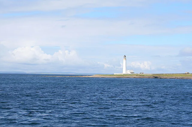
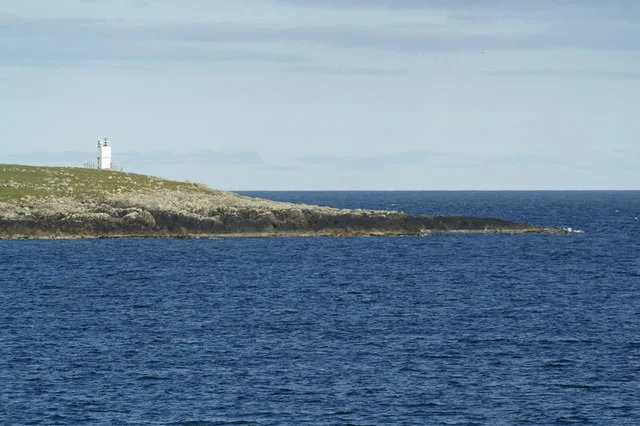
📷 3Lighthouses · Scottish Islands
North Rona Lighthouse
North Rona Lighthouse — lighthouse in Outer Hebrides, Scotland, UK.
 📷 3
📷 3Historic houses · Scottish Islands
ruined bothy
ruined bothy — a historic house in scotland-islands, United Kingdom.
More places in this region
 📷 3
📷 3Islands · Scottish Islands
Auskerry
Auskerry — small island in eastern Orkney, Scotland, UK.
 📷 3
📷 3Islands · Scottish Islands
Balta
Balta — island of the Shetland Islands, Scotland, UK, east of Unst.
 📷 3
📷 3Islands · Scottish Islands
Bigga
Bigga — an uninhabited island in the Yell Sound between the Mainland and Yell in Shetland, Scotland.
 📷 3
📷 3Islands · Scottish Islands
Bressay
Bressay — populated island in the Shetland Islands, Scotland, UK.
Frequently asked questions
- Where is Rona?
- Rona is in Scottish Islands, in the United Kingdom — coordinates 59.1220°, -5.8249°.