
Archaeological sites · South East England
Roman Station
In or near Slinfold.
Roman Station — an archaeological site in South East England, United Kingdom.

Andy Potter — CC BY-SA 2.0 via Wikimedia Commons licence

Plan your visit
- Typical visit
- 45 min–1.5 h
- Nearest railway station
- Christ's Hospital · 4.8 km
- Free entry
- Dog-friendly
About
Roman Station is an archaeological site located in South East England, United Kingdom. Sourced from OpenStreetMap (ODbL licence); see local listings for visitor information, opening hours and admission details.
Photo gallery
Protected designations
- Area of Outstanding Natural Beauty: Surrey Hills
Designations sourced from Natural England open data under OGL v3.
Place summary
Roman Station is an archaeological site located in South-East England. It features remains of a Roman railway station, providing insight into the transportation network of the Roman era in Britain. The site is of historical significance, reflecting the extensive infrastructure established during Roman occupation.
AI-generated from the structured facts on this page (operator, designation, listing, era). Not a substitute for visiting.
- Coordinates
- 51.0853, -0.4061
- County
- West Sussex
- District
- Horsham
- Parish
- Rudgwick
- Postcode
- RH13 0QZ
- Parliamentary constituency
- Horsham
- Nearest railway station
- Christ's Hospital — 4.8 km
Sources
- osm: node/8905672765 (ODbL)
Other places nearby

Pond Bay
Archaeological sites · 0.8 km

Burnt House
Historic houses · 1.0 km

Ironworks (site of)
Archaeological sites · 1.2 km

The Chequers Inn Public House
Historic pubs · 1.3 km

Slinfold Stream and Quarry
Quarries · 1.5 km
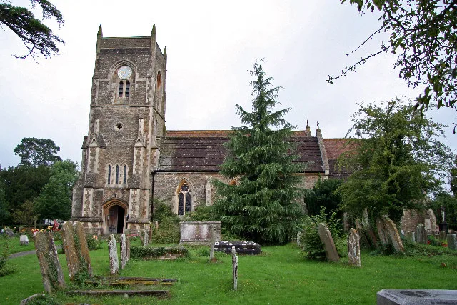
Slinfold
Towns & cities · 1.7 km

Nowhurst Camp Site
Campsites · 1.8 km

Farlington School
Natural landmarks · 1.8 km

Rowhook Manor
Manor houses · 2.0 km

Slinfold Caravan Club Site
Caravan parks · 2.0 km

Bridge At Theale Approximately 400 Metres North West Of Theals Farmhouse
Historic bridges · 2.0 km

Shadow Woods (Yurts)
Campsites · 2.5 km
Nearby
📷 5Archaeological sites · South East England
Pond Bay
Pond Bay — an archaeological site in South East England, United Kingdom.
📷 5Historic houses · South East England
Burnt House
Burnt House — house in Slinfold, Horsham, West Sussex, England, UK.
📷 5Archaeological sites · South East England
Ironworks (site of)
Ironworks (site of) — an archaeological site in South East England, United Kingdom.
📷 5Historic pubs · South East England
The Chequers Inn Public House
The Chequers Inn Public House in England South East, United Kingdom.
📷 5Quarries · South East England
Slinfold Stream and Quarry
Slinfold Stream and Quarry — site of Special Scientific Interest.
📷 10Towns & cities · South East England
Slinfold
Slinfold — village in West Sussex, England, UK.
Where to eat & stay near Roman Station
Places to stay
📷 5Campsites · South East England
Nowhurst Camp Site
Nowhurst Camp Site — a campsite in england south east.
📷 5Caravan parks · South East England
Slinfold Caravan Club Site
Slinfold Caravan Club Site — a caravan park in england south east.
📷 5Campsites · South East England
Shadow Woods (Yurts)
Shadow Woods (Yurts) — a campsite in england south east.
 📷 5
Campsites · South East England
Sumners Ponds
Sumners Ponds — a campsite in england south east.
 📷 5
Caravan parks · South East England
Roundstone Caravan Park
Roundstone Caravan Park — a caravan park in england south east.
 📷 4
Caravan parks · South East England
Bluebell Park
Bluebell Park — a caravan park in england south east.
Places to eat & drink
📷 5Historic pubs · South East England
The Chequers Inn Public House
The Chequers Inn Public House in England South East, United Kingdom.
 📷 7
Historic pubs · South East England
The Blue Ship Public House
The Blue Ship Public House in England South East, United Kingdom.
 📷 7
Historic pubs · South East England
The Sussex Oak Inn
The Sussex Oak Inn in England South East, United Kingdom.
 📷 5
Historic pubs · South East England
The Scarlett Arms Public House
The Scarlett Arms Public House in England South East, United Kingdom.
 📷 7
Restaurants · South East England
Chak de India
Chak de India — a restaurant in england south east.
 📷 7
More archaeological sites in this region
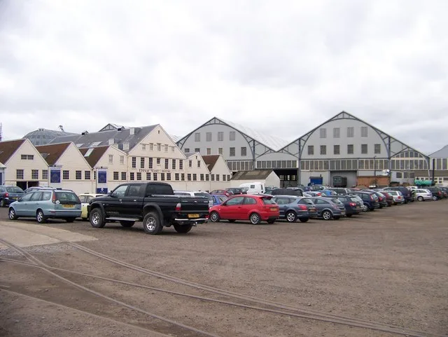 📷 5
Archaeological sites · South East England
Chatham Dockyard, site of South Mast Pond
Chatham Dockyard, site of South Mast Pond — archaeological site in Medway, Kent, England, UK.
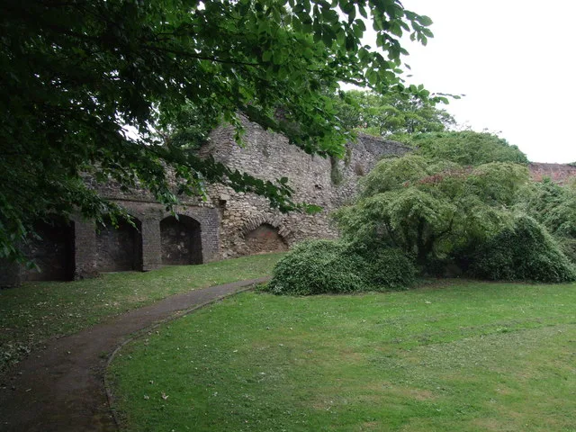 📷 5
Archaeological sites · South East England
Open areas within Roman, Saxon and medieval town
Open areas within Roman, Saxon and medieval town — archaeological site in Medway, Kent, England, UK.
 📷 5
Archaeological sites · South East England
Oxmoor Copse
Oxmoor Copse — woodland in Surrey, England.
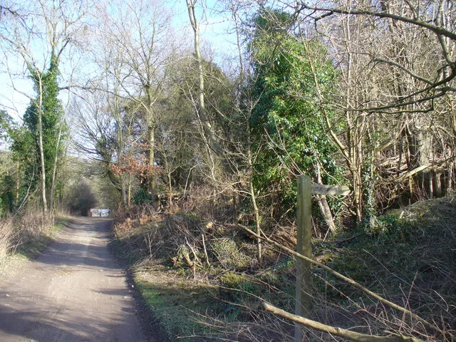 📷 5
Frequently asked questions
- Where is Roman Station?
- Roman Station is in West Sussex, South-East England, United Kingdom (postcode RH13 0QZ), in the parish of Rudgwick.
- What is Roman Station?
- Roman Station — an archaeological site in South East England, United Kingdom.
- How do I get to Roman Station?
- The nearest railway station is Christ's Hospital, about 4.8 km away. The nearest town is Slinfold. Drivers can use postcode RH13 0QZ.
- Is Roman Station a protected site?
- Yes — Roman Station is part of the Surrey Hills National Landscape (AONB).
- Is Roman Station free to visit?
- Yes, Roman Station is free to enter.
- How do I get to Roman Station?
- The nearest railway station is Christ's Hospital, about 4.8 km away. Drivers can navigate to postcode RH13 0QZ.