
Archaeological sites · South West England
ROC Nuclear Fallout Shelter
In or near Otterhampton.
ROC Nuclear Fallout Shelter — an archaeological site in South West England, United Kingdom.

Kevin Pearson — CC BY-SA 2.0 via Wikimedia Commons licence

Plan your visit
- Typical visit
- 45 min–1.5 h
- Nearest railway station
- Stogumber · 7.6 km
- Free entry
- Dog-friendly
About
ROC Nuclear Fallout Shelter is an archaeological site located in South West England, United Kingdom. Sourced from OpenStreetMap (ODbL licence); see local listings for visitor information, opening hours and admission details.
Photo gallery
See it from the streetimagery from 2024
Imagery © Mapillary contributors, CC BY-SA 4.0
Protected designations
- Site of Special Scientific Interest: Blue Anchor to Lilstock Coast SSSI
- Area of Outstanding Natural Beauty: Quantock Hills
Designations sourced from Natural England open data under OGL v3.
Place summary
The ROC Nuclear Fallout Shelter is an archaeological site located in South-West England. This site represents Cold War-era civil defence measures, specifically designed to protect personnel from nuclear fallout. Its historical significance is underscored by its role in the UK's emergency preparedness strategy.
AI-generated from the structured facts on this page (operator, designation, listing, era). Not a substitute for visiting.
- Coordinates
- 51.1788, -3.2004
- District
- Somerset
- Parish
- Kilve
- Postcode
- TA5 1SS
- Parliamentary constituency
- Tiverton and Minehead
- Nearest railway station
- Stogumber — 7.6 km
Sources
- osm: node/3434657738 (ODbL)
Other places nearby

Moorhouse Farm Campsite
Campsites · 0.6 km

Kilton
Villages · 1.0 km

St Mary's Church, Stringston
Historic churches · 1.5 km

Chantry
Historic houses · 1.9 km

Alfoxton House
Historic houses · 2.0 km

Holford
Villages · 2.1 km

Lilstock
Villages · 2.2 km
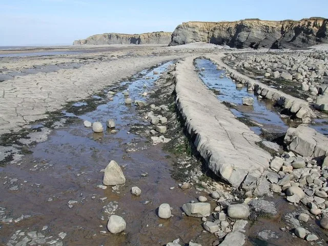
Kilve Beach
Beaches · 2.2 km

River Holford
Natural landmarks · 2.4 km
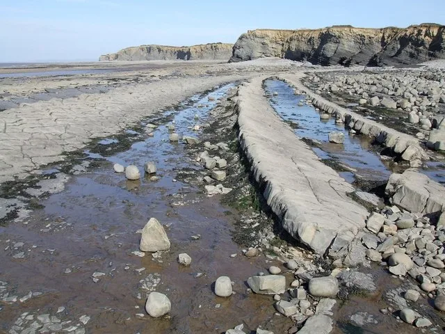
Kilve Beach
Beaches · 2.4 km

Dodington
Villages · 2.5 km
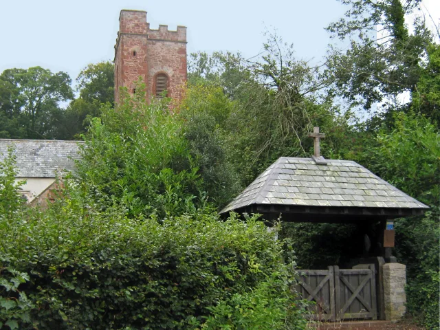
All Saints Church
Historic churches · 2.5 km
Nearby
📷 5Campsites · South West England
Moorhouse Farm Campsite
Moorhouse Farm Campsite — a campsite in england south west.
📷 5📷 4Historic churches · South West England
St Mary's Church, Stringston
St Mary's Church, Stringston — a Grade II-listed church in england-south-west, United Kingdom.
📷 8Historic houses · South West England
Chantry
Chantry — a historic house in South West England, United Kingdom.
📷 4Historic houses · South West England
Alfoxton House
Alfoxton House — a Grade II-listed historic house in england-south-west, United Kingdom.
📷 5Where to eat & stay near ROC Nuclear Fallout Shelter
Places to stay
📷 5Campsites · South West England
Moorhouse Farm Campsite
Moorhouse Farm Campsite — a campsite in england south west.
 📷 7
Hotels · South West England
Combe House Hotel
Combe House Hotel — a hotel in england south west.
 📷 5
 📷 5
Campsites · South West England
St Audries Bay Holiday Club
St Audries Bay Holiday Club — a campsite in england south west.
 📷 5
 📷 5
Campsites · South West England
Home Farm Holiday Centre
Home Farm Holiday Centre — a campsite in england south west.
Places to eat & drink
 📷 5
Historic pubs · South West England
The Carew Arms And Attached Outbuilding
The Carew Arms And Attached Outbuilding in England South West, United Kingdom.
 📷 6
Historic pubs · South West England
West Somerset Hotel
West Somerset Hotel in England South West, United Kingdom.
 📷 7
 📷 5
 📷 3
Historic pubs · South West England
The Farmers Arms
The Farmers Arms — Historic pub — listed building or notable heritage status.
 📷 7
Historic pubs · South West England
Quantock Gateway Hotel
Quantock Gateway Hotel in England South West, United Kingdom.
More archaeological sites in this region
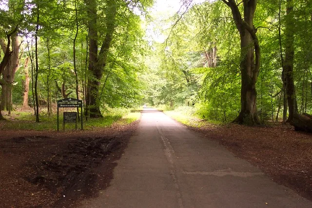 Flagship📷 10
Archaeological sites · South West England
Savernake Forest
Savernake Forest — 4500 acre forest in Wiltshire, England.
 📷 5
Archaeological sites · South West England
Barbury Castle Farm deserted Medieval village
Barbury Castle Farm deserted Medieval village — archaeological site in Ogbourne St Andrew, Wiltshire, England, UK.
 📷 5
Archaeological sites · South West England
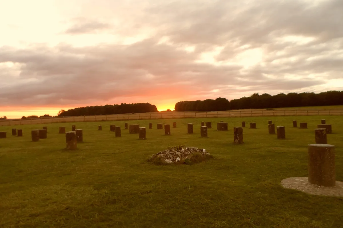
Henge monuments at Durrington Walls and Woodhenge, a round barrow cemetery, two additional round barrows and four settlements
Henge monuments at Durrington Walls and Woodhenge, a round barrow cemetery, two additional round barrows and four settlements — archaeological site in Durrington, Wiltshire, England, UK.
 📷 3
Archaeological sites · South West England
Langley Wood
Langley Wood — wood in Redlynch, Wiltshire, England.
Frequently asked questions
- Where is ROC Nuclear Fallout Shelter?
- ROC Nuclear Fallout Shelter is in South-West England, United Kingdom (postcode TA5 1SS), in the parish of Kilve.
- What is ROC Nuclear Fallout Shelter?
- ROC Nuclear Fallout Shelter — an archaeological site in South West England, United Kingdom.
- How do I get to ROC Nuclear Fallout Shelter?
- The nearest railway station is Stogumber, about 7.6 km away. The nearest town is Otterhampton. Drivers can use postcode TA5 1SS.
- Is ROC Nuclear Fallout Shelter a protected site?
- Yes — ROC Nuclear Fallout Shelter is part of the Blue Anchor to Lilstock Coast SSSI Site of Special Scientific Interest and the Quantock Hills National Landscape (AONB).
- Is ROC Nuclear Fallout Shelter free to visit?
- Yes, ROC Nuclear Fallout Shelter is free to enter.
- How do I get to ROC Nuclear Fallout Shelter?
- The nearest railway station is Stogumber, about 7.6 km away. Drivers can navigate to postcode TA5 1SS.