
Beaches · North West England
Roanhead
In or near Haverigg.
Roanhead (sometimes spelled Ronhead) refers to the limestone outcrop of Roanhead Crag in Cumbria and the farmland behind it, but in recent years the term has been taken to mean the sandy beaches adjoi

Espresso Addict — CC BY-SA 2.0 via Wikimedia Commons licence

Plan your visit
- Typical visit
- 1 h–3 h
- Best time of year
- Summer (Jun–Aug)
- Nearest railway station
- Askam · 3.6 km
- Free entry
- Family-friendly
- Dog-friendly
Getting there & planning your visit
To visit Roanhead, the nearest railway station is Askam, located 3.6 km away. The postcode for Roanhead is LA14 4QJ, which can be used for sat-nav coordinates. Entry to the beach is free.
About
Roanhead (sometimes spelled Ronhead) refers to the limestone outcrop of Roanhead Crag in Cumbria and the farmland behind it, but in recent years the term has been taken to mean the sandy beaches adjoining Sandscale Haws extending to Snab Point. The Irish Sea lies to the west of Roanhead, whilst the Duddon Estuary and Walney Channel are due north and south respectively. The beach is noted for its abundance of sand dunes and strong, often dangerous coastal currents. Today the beach is a National Trust conservation area, and a two-mile stretch of the Cumbria Coastal Way runs through it.
Photo gallery
Protected designations
- Site of Special Scientific Interest: Duddon Estuary SSSI
- National Nature Reserve: SANDSCALE HAWS
- Ramsar wetland: Duddon Estuary
Designations sourced from Natural England open data under OGL v3.
From the Wikipedia article
Roanhead (sometimes spelled Ronhead) refers to the limestone outcrop of Roanhead Crag in Cumbria and the farmland behind it, but in recent years the term has been taken to mean the sandy beaches adjoining Sandscale Haws extending to Snab Point. The Irish Sea lies to the west of Roanhead, whilst the Duddon Estuary and Walney Channel are due north and south respectively. The beach is noted for its abundance of sand dunes and strong, often dangerous coastal currents. Today the beach is a National Trust conservation area, and a two-mile stretch of the Cumbria Coastal Way runs through it.
Excerpt from Wikipedia under CC BY-SA 4.0. See the source article linked in Sources below.
- Coordinates
- 54.1648, -3.2415
- District
- Westmorland and Furness
- Parish
- Askam and Ireleth
- Postcode
- LA14 4QJ
- Parliamentary constituency
- Barrow and Furness
- Nearest railway station
- Askam — 3.6 km
- Official site
- www.nationaltrust.org.uk
Sources
- wikipedia: Roanhead (CC BY-SA 4.0)
Other places nearby

Sandscale Haws Nature Reserve
Forests & woodlands · 0.2 km
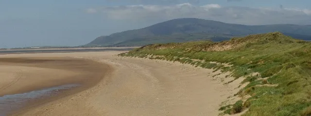
Roanhead Beach
Beaches · 1.0 km

Bee and arrow
Public art & sculpture · 2.2 km

North Walney National Nature Reserve
Forests & woodlands · 3.0 km
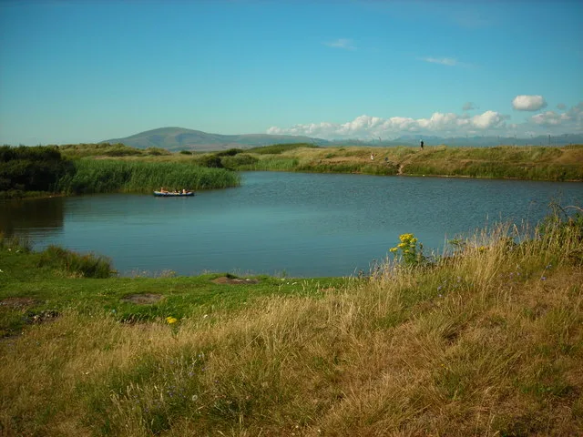
North Walney
Wildlife reserves · 3.0 km

Oakdale
Maritime museums · 3.0 km

Hawcoat Hill
Mountains & hills · 3.1 km

Hagg Hills
Mountains & hills · 3.2 km
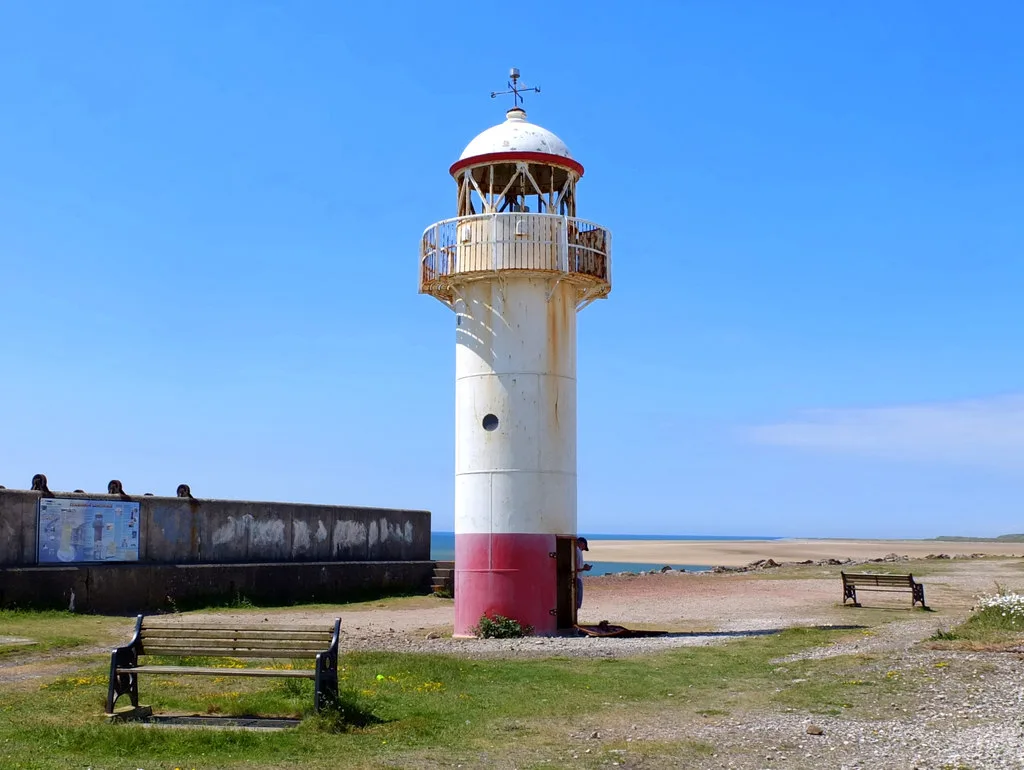
Hodbarrow Point Lighthouse
Lighthouses · 3.3 km
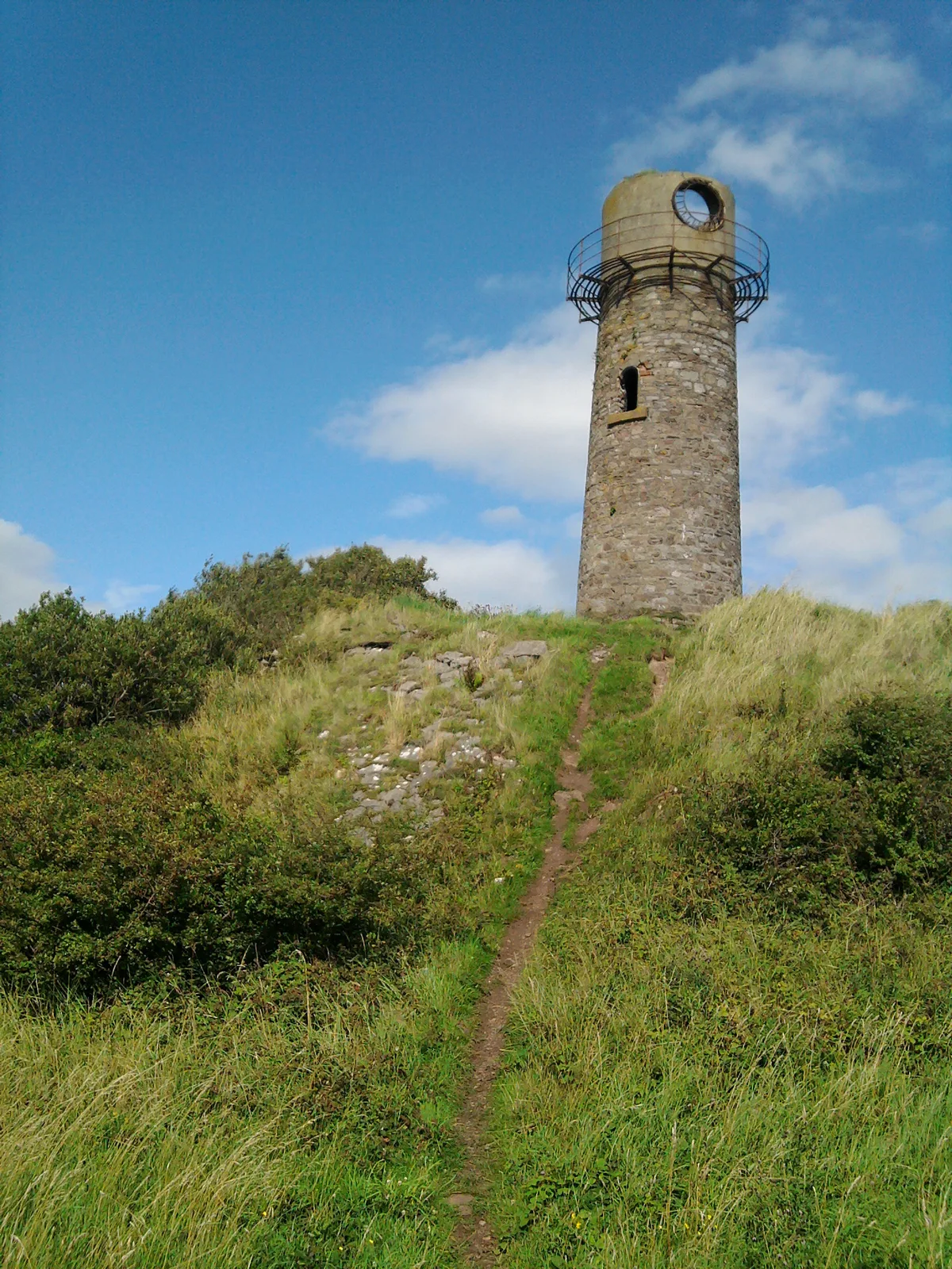
Hodbarrow Beacon
Lighthouses · 3.4 km

Hodbarrow
Villages · 3.5 km

High Haume
Castles · 3.7 km
Nearby
📷 3Forests & woodlands · North West England
Sandscale Haws Nature Reserve
Sandscale Haws Nature Reserve is a forest or woodland in the United Kingdom.
📷 3📷 3Public art & sculpture · North West England
Bee and arrow
Bee and arrow — a public art in england-north-west, United Kingdom.
📷 3Forests & woodlands · North West England
North Walney National Nature Reserve
North Walney National Nature Reserve is a forest or woodland in the United Kingdom.
📷 3Wildlife reserves · North West England
North Walney
North Walney — nature reserve in Barrow-in-Furness, Cumbria, England.
📷 3Maritime museums · North West England
Oakdale
Oakdale — a maritime museum in england-north-west, United Kingdom.
Where to eat & stay near Roanhead
Places to stay
 📷 5
📷 5Hotels · North West England
Abbey House
Abbey House — a hotel in england north west.
 📷 5
📷 5Caravan parks · North West England
Marsh Farm Caravan Site
Marsh Farm Caravan Site — a caravan park in england north west.
 📷 5
📷 5Caravan parks · North West England
Port Haverigg Holiday Village
Port Haverigg Holiday Village — a caravan park in england north west.
 📷 5
📷 5Campsites · North West England
Harbour Lights Campsite
Harbour Lights Campsite — a campsite in england north west.
 📷 5
📷 5Caravan parks · North West England
Butterflowers Holiday Park
Butterflowers Holiday Park — a caravan park in england north west.
 📷 5
📷 5Places to eat & drink
 📷 5
📷 5Historic pubs · North West England
Chappells Tavern
Chappells Tavern in England North West, United Kingdom.
 📷 5
📷 5Historic pubs · North West England
Furness Abbey Hotel
Furness Abbey Hotel in England North West, United Kingdom.
 📷 5
📷 5Historic pubs · North West England
The Lord Ramsden Public House
The Lord Ramsden Public House in England North West, United Kingdom.
 📷 7
📷 7 📷 5
📷 5Historic pubs · North West England
Crofters Public House
Crofters Public House in England North West, United Kingdom.
 📷 5
📷 5Historic pubs · North West England
The Concle Public House
The Concle Public House in England North West, United Kingdom.
More beaches in this region
 📷 3
📷 3Beaches · North West England
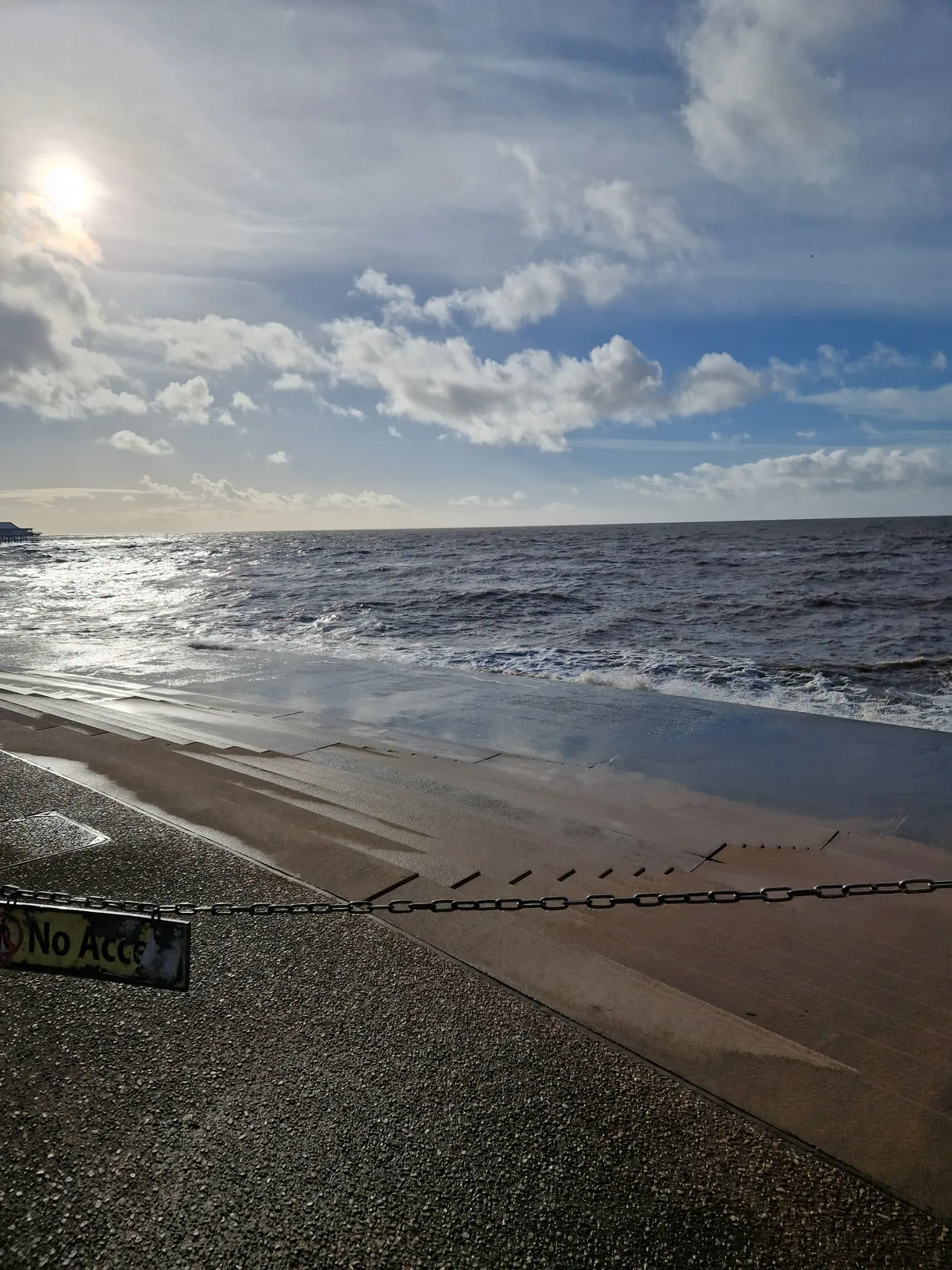
Blackpool Sands
Blackpool Sands — beach in Blackpool, Lancashire, England.
 📷 3
📷 3 📷 3
📷 3Beaches · North West England
Creek Beach North
Creek Beach North is a beach in the United Kingdom.
📷 3Beaches · North West England
Creek Beach South
Creek Beach South is a beach in the United Kingdom.
Frequently asked questions
- Where is Roanhead?
- Roanhead is in North-West England, United Kingdom (postcode LA14 4QJ), in the parish of Askam and Ireleth.
- What is Roanhead?
- Roanhead (sometimes spelled Ronhead) refers to the limestone outcrop of Roanhead Crag in Cumbria and the farmland behind it, but in recent years the term has been taken to mean the sandy beaches adjoi
- How do I get to Roanhead?
- The nearest railway station is Askam, about 3.6 km away. Drivers can use postcode LA14 4QJ.
- Is Roanhead a protected site?
- Yes — Roanhead is part of the Duddon Estuary SSSI Site of Special Scientific Interest and the SANDSCALE HAWS National Nature Reserve.
- Is Roanhead free to visit?
- Yes, Roanhead is free to enter.
- How do I get to Roanhead?
- The nearest railway station is Askam, about 3.6 km away. Drivers can navigate to postcode LA14 4QJ.