
Public art & sculpture · West Midlands
Rivers of Stone
In or near Lower Penn.
Rivers of Stone — a public art in england-west-midlands, United Kingdom.

Gordon Griffiths — CC BY-SA 2.0 via Wikimedia Commons licence

Plan your visit
- Typical visit
- 1 h–2 h
- Nearest railway station
- Cradley Heath · 4.0 km
- Free entry
- Dog-friendly
Getting there & planning your visit
To visit Rivers of Stone in Dudley, the nearest railway station is Cradley Heath, located 4 km away. The postcode for navigation is DY1 2HQ, and entry to the site is free.
About
Rivers of Stone is a public art located in england-west-midlands, United Kingdom. Sourced from OpenStreetMap (ODbL licence); see local listings for visitor information, opening hours and admission details.
Photo gallery
From the Wikipedia article
Rivers of Steel National Heritage Area is a federally designated National Heritage Area in southwestern Pennsylvania, centered on Pittsburgh and oriented around the interpretation and promotion of the region's steel-making heritage. The area roughly covers the valleys of the Ohio, Monongahela and lower Allegheny rivers. Major interpretive locations include the Carrie Furnace, Pinkerton's Landing Bridge and other features of the Homestead Steel Works. The national heritage area comprises Allegheny, Armstrong, Beaver, Butler, Greene, Fayette, Washington and Westmoreland counties. Rivers of Steel National Heritage Area was designated in 1996 and is managed by the Rivers of Steel Heritage Corporation. The managing organization supports the designation of Homestead Works National Park, centered around the Carrie Blast Furnaces. The visitor center, museum, and offices for the national heritage area are located in the Bost Building in Homestead.
Excerpt from Wikipedia under CC BY-SA 4.0. See the source article linked in Sources below.
- Coordinates
- 52.5021, -2.1170
- District
- Dudley
- Parish
- Dudley, unparished area
- Postcode
- DY1 2HQ
- Parliamentary constituency
- Dudley
- Nearest railway station
- Cradley Heath — 4 km
Sources
- osm: node/11525836434 (ODbL)
- wikipedia: Rivers of Steel National Heritage Area (CC BY-SA 4.0)
Other places nearby
The Gift of Life (Organ Donors)
Public art & sculpture · 0.0 km
Evolotuionary Fence
Public art & sculpture · 0.1 km

Woodside
Villages · 0.2 km

Pensnett War Memorial
Memorials & monuments · 0.5 km
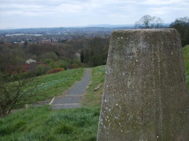
Barrow Hill
Mountains & hills · 0.6 km

Barrow Hill Local Nature Reserve Black Country Geosite
Forests & woodlands · 0.8 km

Millenium Pegasus
Natural landmarks · 0.8 km

Medieval settlement at Cooper's Bank Farm
Vineyards · 1.1 km

Parkhead Viaduct
Historic bridges · 1.3 km

Pensnett Canal
Canals · 1.3 km

Dudley Canal
Canals · 1.4 km
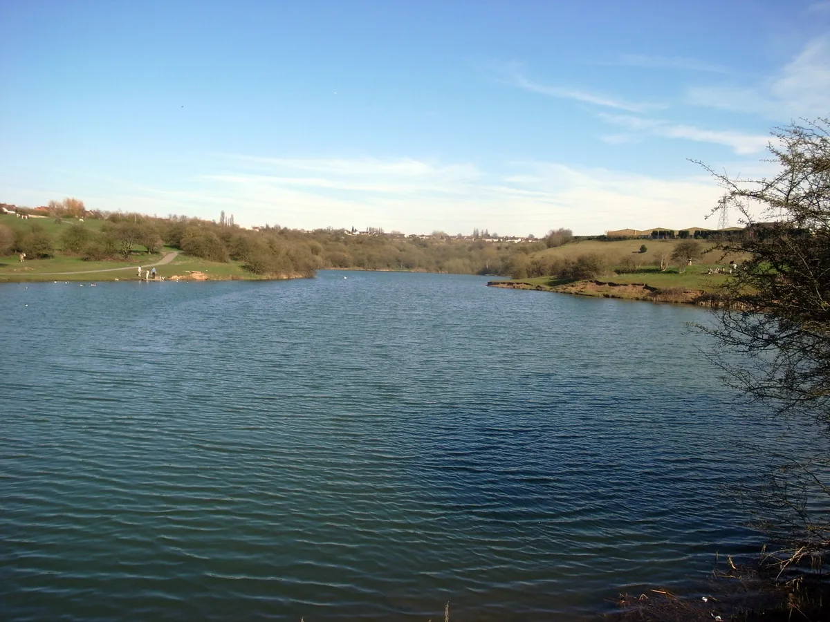
Buckpool and Fens Pool Local Nature Reserve
Parks · 1.4 km
Nearby
📷 3Public art & sculpture · West Midlands
The Gift of Life (Organ Donors)
The Gift of Life (Organ Donors) — a public art in england-west-midlands, United Kingdom.
📷 3Public art & sculpture · West Midlands
Evolotuionary Fence
Evolotuionary Fence — a public art in england-west-midlands, United Kingdom.
📷 5📷 3Memorials & monuments · West Midlands
Pensnett War Memorial
Pensnett War Memorial — Grade II listed building-listed memorial in england-west-midlands, United Kingdom.
📷 3📷 3Forests & woodlands · West Midlands
Barrow Hill Local Nature Reserve Black Country Geosite
Barrow Hill Local Nature Reserve Black Country Geosite is a forest or woodland in the United Kingdom.
Where to eat & stay near Rivers of Stone
Places to stay
 📷 5
📷 5B&Bs · West Midlands
The Old Court House
The Old Court House — a bed-and-breakfast in england west midlands.
 📷 5
📷 5Hotels · West Midlands
Village Hotel
Village Hotel — a hotel in england west midlands. 3-star. Brand: Village Hotels.
 📷 5
📷 5Hotels · West Midlands
The Talbot Hotel
The Talbot Hotel — a hotel in england west midlands.
 📷 7
📷 7Hotels · West Midlands
Holiday Inn Express
Holiday Inn Express — a hotel in england west midlands. 3-star. Brand: Holiday Inn Express.
 📷 5
📷 5Hotels · West Midlands
Ramada by Wyndham Park Hall
Ramada by Wyndham Park Hall — a hotel in england west midlands.
 📷 5
📷 5Hotels · West Midlands
Redwings Lodge Hotel
Redwings Lodge Hotel — a hotel in england west midlands.
Places to eat & drink
 📷 5
📷 5Historic pubs · West Midlands
The Old Bull's Head Public House And Brewhouse
The Old Bull's Head Public House And Brewhouse in England West Midlands, United Kingdom.
 📷 5
📷 5Historic pubs · West Midlands
The Old Swan Public House And Brewhouse At Rear
The Old Swan Public House And Brewhouse At Rear in England West Midlands, United Kingdom.
 📷 5
📷 5Historic pubs · West Midlands
The Crooked House
The Crooked House in England West Midlands, United Kingdom.
 📷 3
📷 3Historic pubs · West Midlands
The Cross Inn
The Cross Inn — Historic pub — listed building or notable heritage status.
 📷 5
📷 5Historic pubs · West Midlands
The Old Cat Inn
The Old Cat Inn — Historic pub — listed building or notable heritage status.
 📷 3
📷 3Historic pubs · West Midlands
The Red Lion
The Red Lion — Historic pub — listed building or notable heritage status.
More places in this region
 📷 3
📷 3Public art & sculpture · West Midlands
Colin Grazier Memorial
Colin Grazier Memorial in England East Midlands, United Kingdom.
 📷 3
📷 3Public art & sculpture · West Midlands
The Rescue Miner
The Rescue Miner — a public art in england-east-midlands, United Kingdom.
📷 3Public art & sculpture · West Midlands
The Brereton Miner
The Brereton Miner — a public art in england-east-midlands, United Kingdom.
📷 3Public art & sculpture · West Midlands
The Deputy Miner
The Deputy Miner — a public art in england-east-midlands, United Kingdom.
Frequently asked questions
- Where is Rivers of Stone?
- Rivers of Stone is in the West Midlands, United Kingdom (postcode DY1 2HQ), in the parish of Dudley, unparished area.
- What is Rivers of Stone?
- Rivers of Stone — a public art in england-west-midlands, United Kingdom.
- How do I get to Rivers of Stone?
- The nearest railway station is Cradley Heath, about 4.0 km away. Drivers can use postcode DY1 2HQ.
- Is Rivers of Stone free to visit?
- Yes, Rivers of Stone is free to enter.
- How do I get to Rivers of Stone?
- The nearest railway station is Cradley Heath, about 4.0 km away. Drivers can navigate to postcode DY1 2HQ.