
Museums · East Midlands
River Erewash
In or near Gotham.
The River Erewash is a river in England, a tributary of the River Trent that flows roughly southwards through Derbyshire and Nottinghamshire, forming the boundary between the two counties for much of

Andy Jamieson — CC BY-SA 2.0 via Wikimedia Commons licence

Plan your visit
- Typical visit
- 1.5 h–3 h
- Best time of year
- Year-round
- Nearest railway station
- Attenborough · 1.3 km
- Family-friendly
- Limited wheelchair access
Getting there & planning your visit
To visit the River Erewash, the nearest railway station is Attenborough, which is 1.3 km away. The postcode for navigation is NG9 6DY. Accessibility is limited for wheelchair users.
About
The River Erewash is a river in England, a tributary of the River Trent that flows roughly southwards through Derbyshire and Nottinghamshire, forming the boundary between the two counties for much of its length. It rises near Kirkby-in-Ashfield, and passes close to Pinxton, Ironville, Langley Mill, Eastwood, Ilkeston, Trowell, Stapleford, Sandiacre, Toton and Long Eaton to reach the River Trent near Beeston. It shares its valley with a railway line from Kirkby-in-Ashfield to Pye Bridge Junction, and the Erewash Valley line below the junction. The Pinxton Branch of the Cromford Canal runs parallel to the upper reaches, and below Ironville the main line of the abandoned Cromford Canal enters the valley. At Langley Mill, both the Erewash Canal and the abandoned Nottingham Canal fit into the valley, with the Nottingham Canal turning to the east at Trowell, and the Erewash Canal continuing through Long Eaton when the river turns to the east to reach its mouth. The river passes through three nature reserves, at Erewash Meadows and Aldercar Flash to the north of Langley Mill, and the Attenborough Nature Reserve on the banks of the River Trent. They are managed by the Nottinghamshire Wildlife Trust and the Derbyshire Wildlife Trust. Historically, the river has supplied power to several water mills, none of which remain standing, apart from some of Stapleford Mill, which forms part of a social club established in 1922. The river is mentioned several times in the works of the writer D
Photo gallery
Protected designations
- Site of Special Scientific Interest: Attenborough Gravel Pits SSSI
Designations sourced from Natural England open data under OGL v3.
From the Wikipedia article
The River Erewash is a river in England, a tributary of the River Trent that flows roughly southwards through Derbyshire and Nottinghamshire, forming the boundary between the two counties for much of its length. It rises near Kirkby-in-Ashfield, and passes close to Pinxton, Ironville, Langley Mill, Eastwood, Ilkeston, Trowell, Stapleford, Sandiacre, Toton and Long Eaton to reach the River Trent near Beeston. It shares its valley with a railway line from Kirkby-in-Ashfield to Pye Bridge Junction, and the Erewash Valley line below the junction. The Pinxton Branch of the Cromford Canal runs parallel to the upper reaches, and below Ironville the main line of the abandoned Cromford Canal enters the valley. At Langley Mill, both the Erewash Canal and the abandoned Nottingham Canal fit into the valley, with the Nottingham Canal turning to the east at Trowell, and the Erewash Canal continuing through Long Eaton when the river turns to the east to reach its mouth. The river passes through three nature reserves, at Erewash Meadows and Aldercar Flash to the north of Langley Mill, and the Attenborough Nature Reserve on the banks of the River Trent. They are managed by the Nottinghamshire Wildlife Trust and the Derbyshire Wildlife Trust. Historically, the river has supplied power to several water mills, none of which remain standing, apart from some of Stapleford Mill, which forms part of a social club established in 1922. The river is mentioned several times in the works of the writer D. H. Lawrence.
Excerpt from Wikipedia under CC BY-SA 4.0. See the source article linked in Sources below.
Background
History
The river has been used as a source of water power in the past. Furthest upstream was Kirkby Mill or Fryers Mill, located on Mill Lane between Kirkby in Ashfield and Kirkby Woodhouse. The first known mill had a waterwheel that was 28 ft in diameter. In the mid-18th century it was owned by the Fryer family, and subsequently by the Robinsons. The building was demolished in 1857 and a new mill constructed, with a wheel that was 36 ft in diameter and carried the date 1860. Its water supply dropped by a half in 1890, when the London and North Eastern Railway built a tunnel under the Shoulder of Mutton Hill. The mill was sold to William Alfred Curtis in 1932, but only lasted for two more years,…
Sourced from Wikipedia under CC BY-SA 4.0.
- Coordinates
- 52.8967, -1.2430
- County
- Nottinghamshire
- District
- Broxtowe
- Parish
- Broxtowe, unparished area
- Postcode
- NG9 6DY
- Parliamentary constituency
- Broxtowe
- Nearest railway station
- Attenborough — 1.3 km
Sources
- wikipedia: River Erewash (CC BY-SA 4.0)
Other places nearby
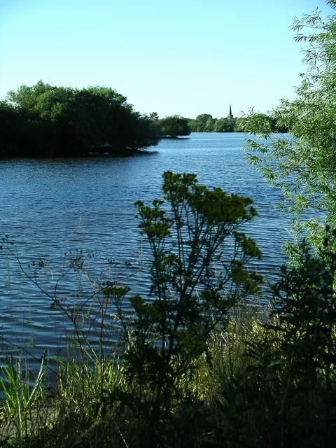
Attenborough Nature Reserve
Wildlife reserves · 0.6 km

Attenborough Nature Centre
Natural landmarks · 0.6 km

Erewash Bridge
Historic bridges · 0.9 km

The Penny Farthing Seat
Public art & sculpture · 1.0 km

Frances Bush 1845-1909
Memorials & monuments · 1.1 km

General Henry Ireton
Memorials & monuments · 1.1 km
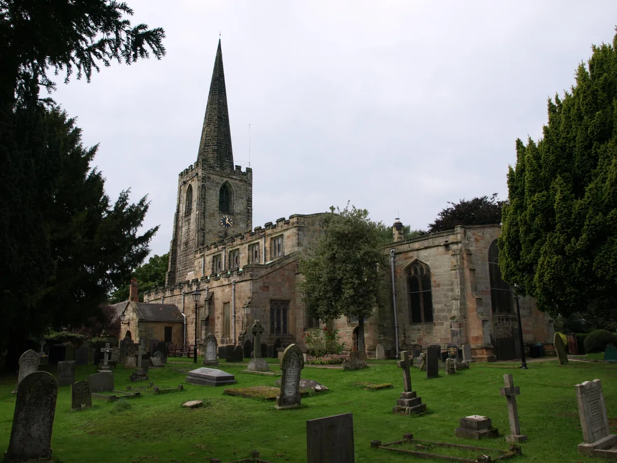
St. Mary's Church, Attenborough
Historic churches · 1.2 km

The Chilwell Explosion, 1st July 1918
Memorials & monuments · 1.2 km

Attenborough Station War Memorial
Memorials & monuments · 1.3 km

Attenborough Nature Reserve
Forests & woodlands · 1.3 km
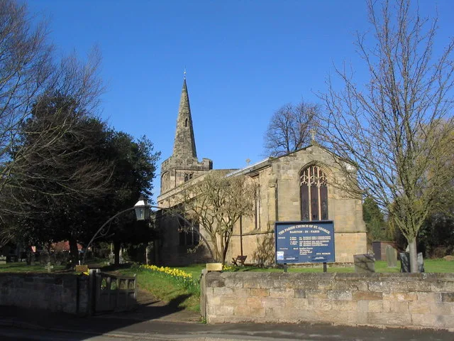
St. George's Church, Barton in Fabis
Historic churches · 1.4 km

Barton in Fabis War Memorial
Memorials & monuments · 1.4 km
Nearby
📷 5Wildlife reserves · East Midlands
Attenborough Nature Reserve
Attenborough Nature Reserve — nature reserve in the United Kingdom.
📷 3Natural landmarks · East Midlands
Attenborough Nature Centre
Attenborough Nature Centre — a other in england-east-midlands, United Kingdom.
📷 3Historic bridges · East Midlands
Erewash Bridge
Erewash Bridge — Grade II listed building-listed bridge in england-east-midlands, United Kingdom.
📷 3Public art & sculpture · East Midlands
The Penny Farthing Seat
The Penny Farthing Seat — a public art in england-east-midlands, United Kingdom.
📷 3Memorials & monuments · East Midlands
Frances Bush 1845-1909
Frances Bush 1845-1909 — a memorial in england-east-midlands, United Kingdom.
📷 3Memorials & monuments · East Midlands
General Henry Ireton
General Henry Ireton — a memorial in england-east-midlands, United Kingdom.
Where to eat & stay near River Erewash
Places to stay
 📷 5
📷 5Caravan parks · East Midlands
Manor Farm Caravan Site
Manor Farm Caravan Site — a caravan park in england east midlands.
 📷 5
📷 5Campsites · East Midlands
Meadow View Glamping
Meadow View Glamping — a campsite in england east midlands.
 📷 5
📷 5Hotels · East Midlands
Hilton East Midlands Airport
Hilton East Midlands Airport — a hotel in england east midlands. 4-star. Brand: Hilton.
 📷 5
📷 5Caravan parks · East Midlands
Shardlow Caravan Park
Shardlow Caravan Park — a caravan park in england east midlands.
 📷 5
📷 5Campsites · East Midlands
Midshires Barn Campsite
Midshires Barn Campsite — a campsite in england east midlands.
 📷 7
📷 7Hotels · East Midlands
The Walton Hotel
The Walton Hotel — a hotel in england east midlands.
Places to eat & drink
 📷 5
📷 5Restaurants · East Midlands
Restaurant Sat Bains
Restaurant Sat Bains — a restaurant in england east midlands.
 📷 5
📷 5 📷 7
📷 7.jpg?width=1200) 📷 3
📷 3Historic pubs · East Midlands
Ye Olde Trip to Jerusalem
Ye Olde Trip to Jerusalem — Historic pub — listed building or notable heritage status.
 ★ Iconic📷 4
Historic pubs · East Midlands
Ye Olde Trip to Jerusalem
The Nottingham pub carved into Castle Rock that claims to date from 1189.
 📷 6
📷 6More museums in this region
 📷 5
📷 5Museums · East Midlands
Stamford Town Hall
Stamford Town Hall — building in Stamford, Lincolnshire, England, UK.
 📷 5
📷 5Museums · East Midlands
Thorney Museum
Thorney Museum — a museum in england-london, United Kingdom.
 📷 5
📷 5Museums · East Midlands
Octavia Hill Birthplace Museum
Octavia Hill Birthplace Museum — a museum in england-london, United Kingdom.
 📷 5
📷 5Museums · East Midlands
Museum of Technology
Museum of Technology — a museum in england-london, United Kingdom.
Frequently asked questions
- Where is River Erewash?
- River Erewash is in Nottinghamshire, the East Midlands, United Kingdom (postcode NG9 6DY), in the parish of Broxtowe, unparished area.
- What is River Erewash?
- The River Erewash is a river in England, a tributary of the River Trent that flows roughly southwards through Derbyshire and Nottinghamshire, forming the boundary between the two counties for much of
- How do I get to River Erewash?
- The nearest railway station is Attenborough, about 1.3 km away. Drivers can use postcode NG9 6DY.
- Is River Erewash a protected site?
- Yes — River Erewash is part of the Attenborough Gravel Pits SSSI Site of Special Scientific Interest.
- How do I get to River Erewash?
- The nearest railway station is Attenborough, about 1.3 km away. Drivers can navigate to postcode NG9 6DY.